Buck Ait

Island in Berkshire

England

Buck Ait

Church of St. Peter and St. Paul's, Shiplake The church dates back to the 13th Century and is a Grade II* Listed Building.
Church of St. Peter and St. Paul's, Shiplake Credit: Simon Mortimer

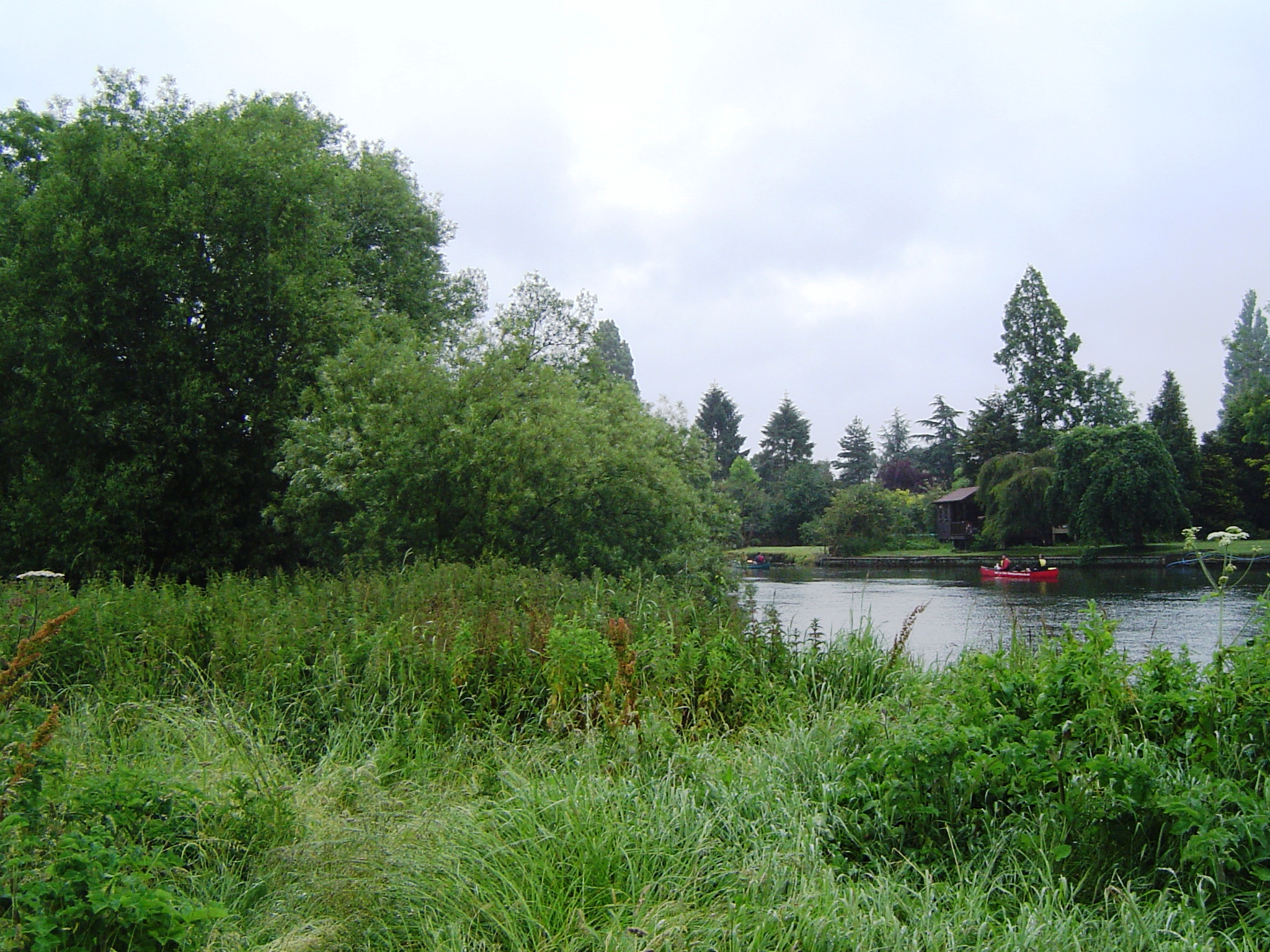
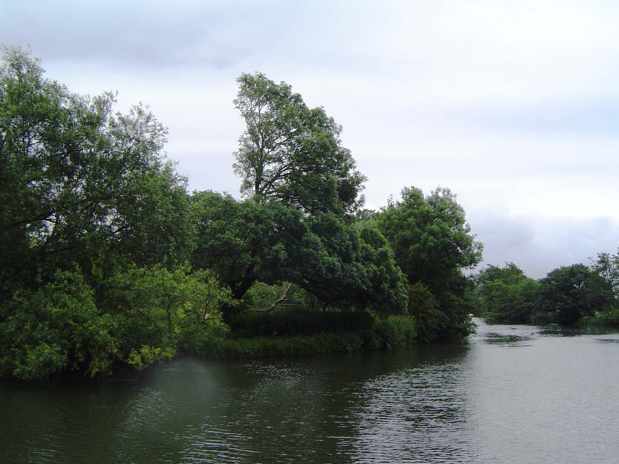
Buck Ait, Berkshire is a small island located in the River Thames, near the town of Maidenhead in Berkshire, England. With an area of approximately 0.3 hectares, the island is privately owned and accessible only by boat.

The island is known for its picturesque and tranquil setting, surrounded by lush vegetation and flanked by the flowing river. It offers a peaceful escape from the bustling nearby towns, providing a haven for wildlife and nature enthusiasts.

Buck Ait has a rich history dating back centuries. It was once used as a fishing spot and later became a popular destination for boating and picnicking. The island takes its name from the Old English word "ait," meaning a small island or eyot.

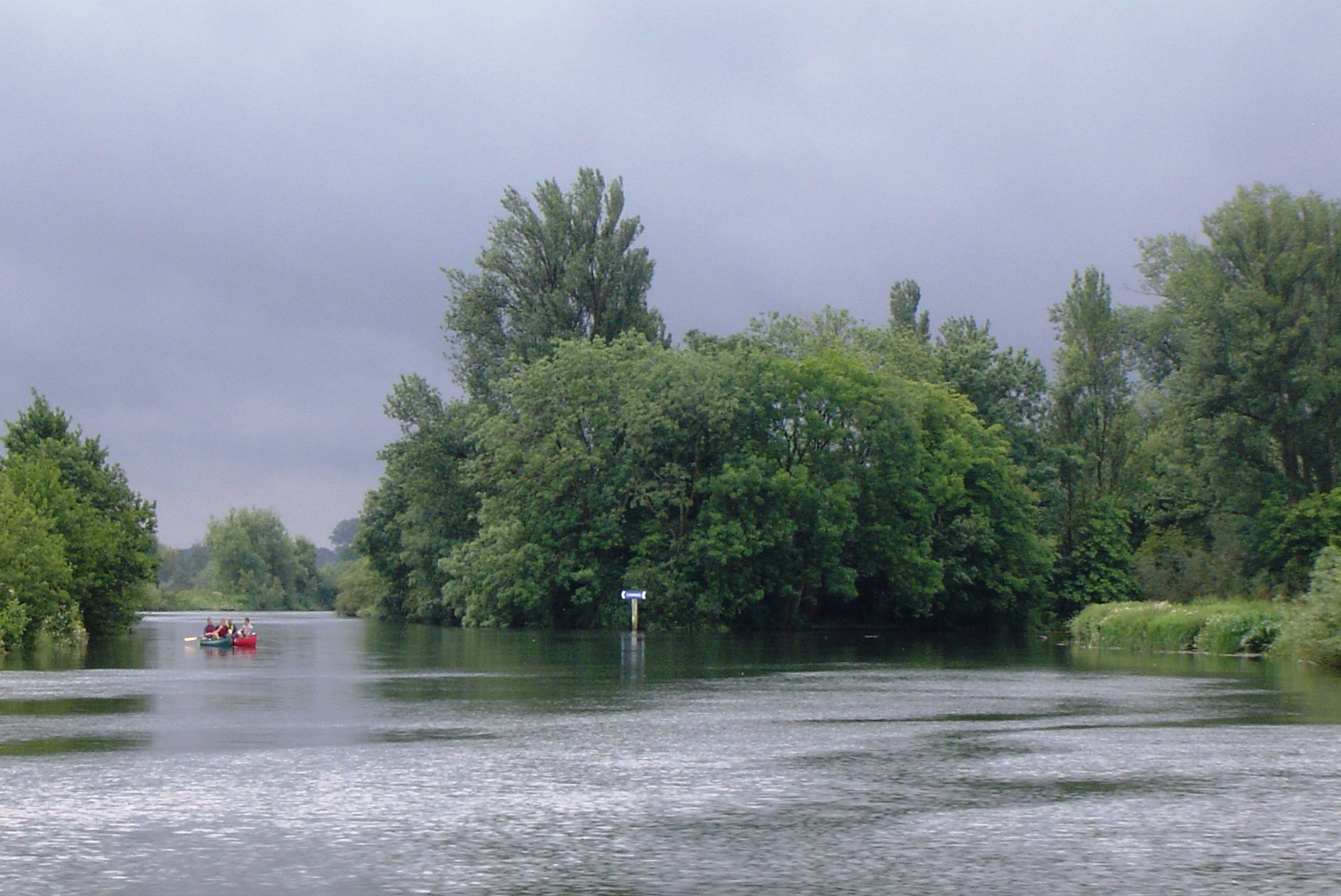
Currently, Buck Ait remains a private property and is not open to the public. It is home to a single residence, which is privately owned and not available for rent or overnight stays. The island's owner has taken great care to maintain its natural beauty and preserve the habitat for the diverse range of flora and fauna found in the area.

Due to its location on the River Thames, Buck Ait is an ideal spot for boating and fishing enthusiasts. The surrounding river offers opportunities for various water activities, including kayaking, paddleboarding, and wildlife spotting.

In conclusion, Buck Ait, Berkshire is a small and secluded island in the River Thames, offering a peaceful retreat and a chance to connect with nature. Although not open to the public, its natural beauty and historical significance make it a noteworthy place in the Berkshire region.

If you have any feedback on the listing, please let us know in the comments section below.
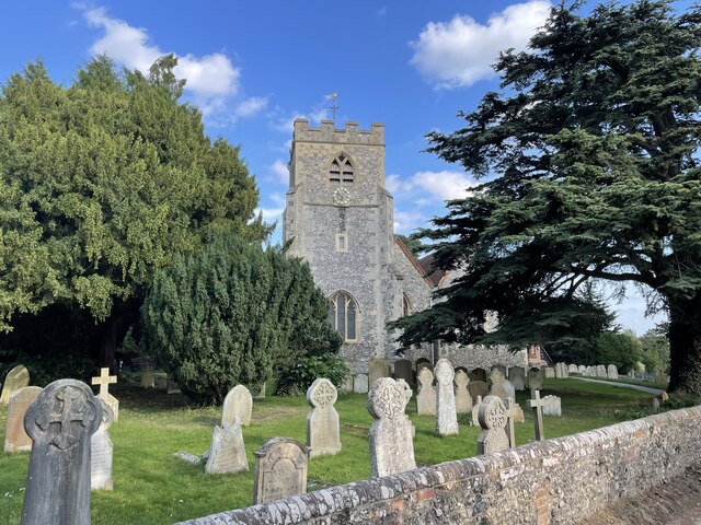
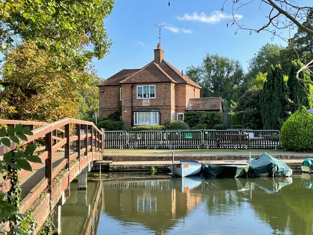
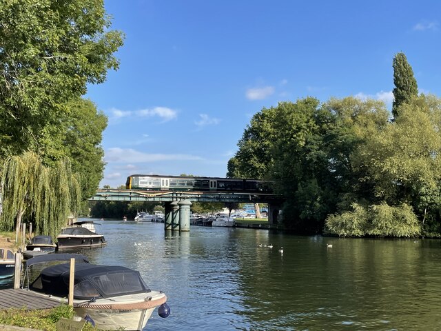
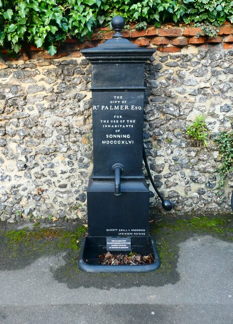
Buck Ait Images

Images are sourced within 2km of 51.488985/-0.8972812 or Grid Reference SU7677. Thanks to Geograph Open Source API. All images are credited.

Church of St. Peter and St. Paul's, Shiplake The church dates back to the 13th Century and is a Grade II* Listed Building.
Church of St. Peter and St. Paul's, Shiplake
The church dates back to the 13th Century and is a Grade II* Listed Building.
Lock-keeper's house, Shiplake Lock The lock was first constructed in 1773 after the Thames Navigation Act of 1770.  The lock-keeper's house on the island was reconstructed in 1932.  This view is looking south from the path from Mill Lane.
Lock-keeper's house, Shiplake Lock
The lock was first constructed in 1773 after the Thames Navigation Act of 1770. The lock-keeper's house on the island was reconstructed in 1932. This view is looking south from the path from Mill Lane.
Railway bridge over the Thames at Shiplake The Great Western Railway branch line to Henley-on-Thames opened in 1857.  The original crossing of the river Thames was a wooden viaduct, replaced by the present brick and iron structure in the 1890s.
Railway bridge over the Thames at Shiplake
The Great Western Railway branch line to Henley-on-Thames opened in 1857. The original crossing of the river Thames was a wooden viaduct, replaced by the present brick and iron structure in the 1890s.
Farmland, Shiplake Arable land beside the Henley Road with Ash Copse seen beyond Hampstead Bottom.
Farmland, Shiplake
Arable land beside the Henley Road with Ash Copse seen beyond Hampstead Bottom.
Farmland, Shiplake The track here, at the edge of Lower Hailey Wood, is a permitted footpath.  A crop of oil-seed rape is to the right.
Farmland, Shiplake
The track here, at the edge of Lower Hailey Wood, is a permitted footpath. A crop of oil-seed rape is to the right.
Passing a pub on the way to Sonning Church
Parish Pump, Sonning: early February 2022
Pub seen from Sonning Churchyard
St Andrew, Sonning: early February 2022
Sonning Churchyard: early February 2022 (b) This is the grave of Private B Dark of the Royal Warwickshire Regiment who died on  24 August 1917
Sonning Churchyard: early February 2022 (b)
This is the grave of Private B Dark of the Royal Warwickshire Regiment who died on 24 August 1917
Sonning Churchyard: early February 2022 (c) This is the CWGC grave of Private A Ponting of the Royal Defence Corps who died on  13 September 1917.
Sonning Churchyard: early February 2022 (c)
This is the CWGC grave of Private A Ponting of the Royal Defence Corps who died on 13 September 1917.
Sonning Churchyard: early February 2022 (d)
Farmland, Shiplake A footpath through oil-seed rape on the approach to Shiplake Row. As always, Shiplake Farm have clearly reinstated the right of way.
Farmland, Shiplake
A footpath through oil-seed rape on the approach to Shiplake Row. As always, Shiplake Farm have clearly reinstated the right of way.
Forecourt on a Texaco fuel station on the A4 at Sonning
Pasture, Charvil The footpath from Loddon Drive approaches Thames Drive across damp fields grazed by cattle.
Pasture, Charvil
The footpath from Loddon Drive approaches Thames Drive across damp fields grazed by cattle.
Train leaving Wargrave for Henley The two-car train, unit 165 127,  was quite busy.
Train leaving Wargrave for Henley
The two-car train, unit 165 127, was quite busy.
The entrance to Loddon Park Farm, Twyford
Farm track off the A4, Twyford
Show me another place!

Buck Ait is located at Grid Ref: SU7677 (Lat: 51.488985, Lng: -0.8972812)

Unitary Authority: Wokingham

Police Authority: Thames Valley

What 3 Words

///escalates.glides.screeches. Near Charvil, Berkshire

Related Wikis

Buck Ait

Buck Ait is an island in the River Thames in Oxfordshire, England. It is on the reach above Shiplake Lock near Sonning.The island is uninhabited and tree...

Hallsmead Ait

Hallsmead Ait is an island in the River Thames in Berkshire, England. It is on the reach above Shiplake Lock near Lower Shiplake.The island is large and...

The Lynch

The Lynch is an island in the River Thames in Berkshire, England. It is on the reach above Shiplake Lock near Lower Shiplake.The island is large and triangular...

St Patrick's Stream

St Patrick's Stream or Patrick Stream is a backwater of the River Thames in England, which flows into the River Loddon near Wargrave, Berkshire. It leaves...

Shiplake Vikings Rowing Club

Shiplake Vikings Rowing Club is a rowing club based on the River Thames at Shiplake College Boathouse, Henley-on-Thames, Oxfordshire. == History == The...

Shiplake College Boat Club

Shiplake College Boat Club is a rowing club based on the River Thames at Shiplake College Boathouse, Henley-on-Thames, Oxfordshire. == History == Shiplake...

Shiplake College

Shiplake College is a private boarding and day school in Shiplake, by the River Thames, just outside Henley-on-Thames, England. The school, with 520 pupils...

Shiplake Court

Shiplake Court was a historic manor house near Henley-on-Thames in Oxfordshire, England. In the sixteenth century, it was the residence of Edmund Plowden...

Nearby Amenities

Located within 500m of 51.488985,-0.8972812
Direction: SSW
Generator Method: photovoltaic
Generator Output Electricity: yes
Generator Solar Modules: 10
Generator Source: solar
Generator Type: solar_photovoltaic_panel
Location: roof
Power: generator
Lat/Long: 51.488565/-0.8957944
Direction: SSW
Generator Method: photovoltaic
Generator Output Electricity: yes
Generator Solar Modules: 3
Generator Source: solar
Generator Type: solar_photovoltaic_panel
Location: roof
Power: generator
Lat/Long: 51.4875971/-0.8965839
Direction: SSW
Generator Method: photovoltaic
Generator Output Electricity: yes
Generator Solar Modules: 9
Generator Source: solar
Generator Type: solar_photovoltaic_panel
Location: roof
Power: generator
Lat/Long: 51.4882603/-0.8962242
Direction: SSW
Generator Method: photovoltaic
Generator Output Electricity: yes
Generator Solar Modules: 8
Generator Source: solar
Generator Type: solar_photovoltaic_panel
Location: roof
Power: generator
Lat/Long: 51.488632/-0.8958871
Direction: SSW
Generator Method: photovoltaic
Generator Output Electricity: yes
Generator Solar Modules: 9
Generator Source: solar
Generator Type: solar_photovoltaic_panel
Location: roof
Power: generator
Lat/Long: 51.4882383/-0.8961564
Direction: SSW
Generator Method: photovoltaic
Generator Output Electricity: yes
Generator Solar Modules: 13
Generator Source: solar
Generator Type: solar_photovoltaic_panel
Location: roof
Power: generator
Lat/Long: 51.4876291/-0.8966976
The data included in this document is from www.openstreetmap.org. The data is made available under ODbL.

Have you been to Buck Ait?

Leave your review of Buck Ait below (or comments, questions and feedback).