Muckle Stack
Island in Shetland
Scotland
Muckle Stack
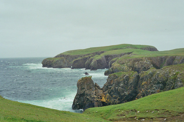
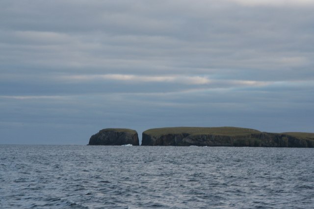
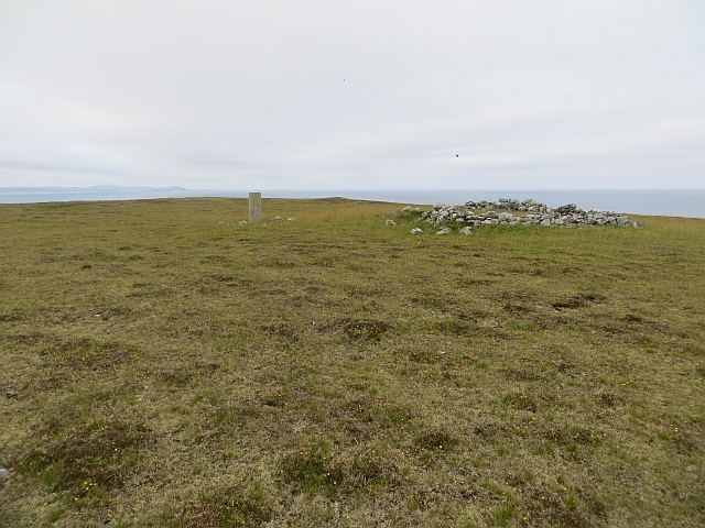
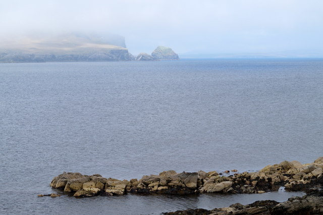
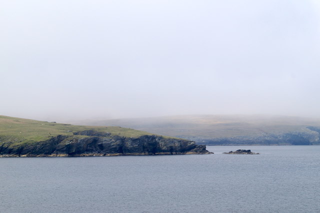
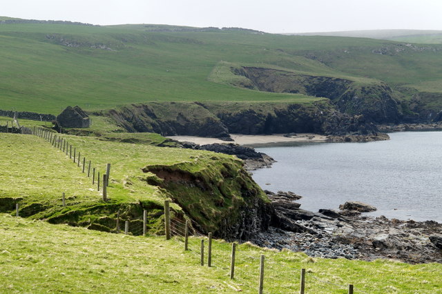
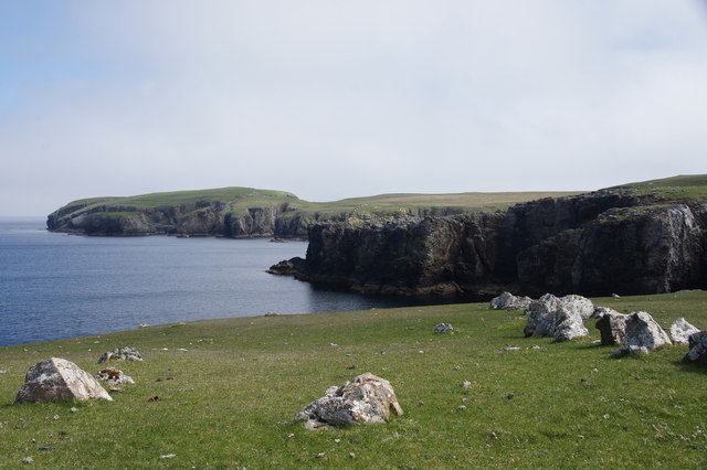
Muckle Stack is a prominent natural landmark located in the Shetland Islands, an archipelago in Scotland. It is situated on the western coast of the main island, known as the Mainland. The stack is a towering sea stack, rising approximately 122 meters (400 feet) from the sea level.
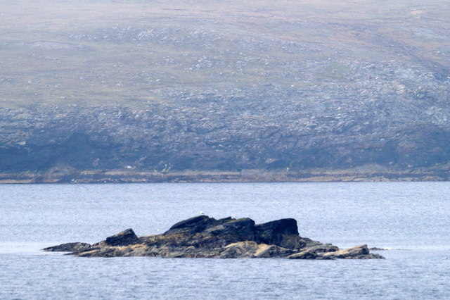
Muckle Stack is composed of rugged, weathered sandstone and stands as a testament to the power of erosion over time. It is a striking geological formation that captivates visitors with its sheer size and beauty. The stack is surrounded by dramatic cliffs and jagged rocks, adding to its grandeur.
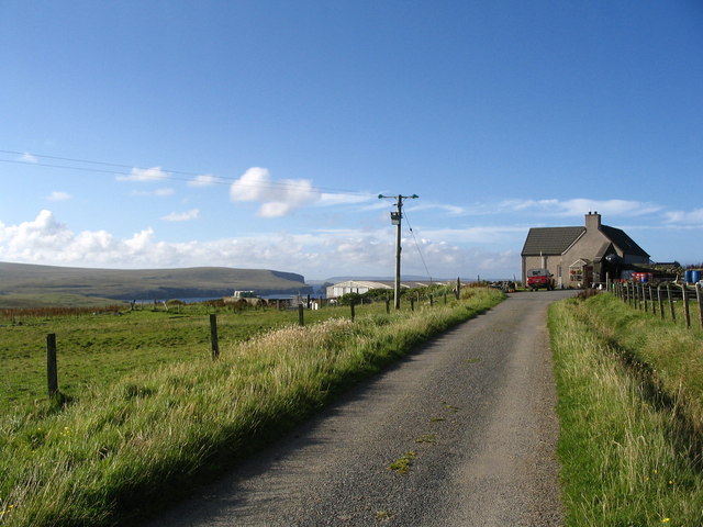
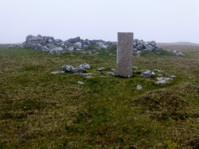
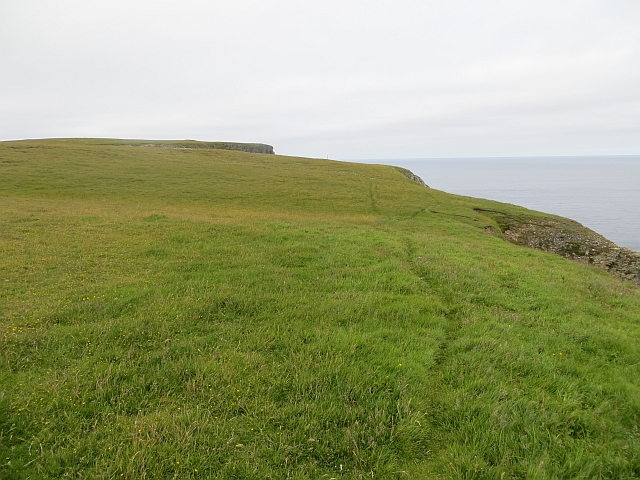
Access to Muckle Stack is possible by boat or by foot, with a walking path leading to the nearby cliffs. This allows visitors to get a closer look at the stack and marvel at its imposing presence. However, it is important to note that caution should be exercised due to the unpredictable nature of the sea and the potential dangers of the cliffs.
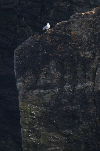
The area surrounding Muckle Stack is known for its rich wildlife. Visitors may spot various seabirds, including puffins, guillemots, and razorbills, nesting on the cliffs. Seals can also be seen swimming in the waters nearby.
Muckle Stack is a popular attraction for nature enthusiasts, photographers, and adventure seekers. Its awe-inspiring stature and picturesque surroundings make it a must-visit destination for those exploring the Shetland Islands.
If you have any feedback on the listing, please let us know in the comments section below.
Muckle Stack Images
Images are sourced within 2km of 60.614722/-0.78058828 or Grid Reference HU6692. Thanks to Geograph Open Source API. All images are credited.
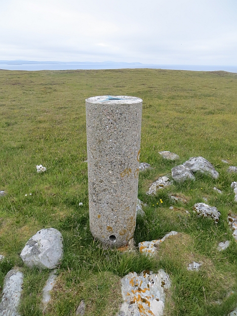


Muckle Stack is located at Grid Ref: HU6692 (Lat: 60.614722, Lng: -0.78058828)
Unitary Authority: Shetland Islands
Police Authority: Highlands and Islands
What 3 Words
///office.scatters.greed. Near Houbie, Shetland Islands
Nearby Locations
Related Wikis

Haltadans
Haltadans, also known as Fairy Ring or Haltadans stone circle, is a stone circle on the island of Fetlar in Shetland, Scotland. This site is a ring of...

Funzie Girt
Funzie Girt (; Scots: Funyie Girt "Finns' dyke") is an ancient dividing wall that was erected from north to south across the island of Fetlar in Shetland...

Fetlar
Fetlar (Scots: Fetlar) is one of the North Isles of Shetland, Scotland, with a usually resident population of 61 at the time of the 2011 census. Its main...

Haaf Gruney
Haaf Gruney is a small island in the north east of the Shetland Islands. == Geography and geology == The island is between Unst and Fetlar which are to...

Urie Lingey
For other islands with similar names, see Linga (disambiguation) Urie Lingey is one of the Shetland Islands. It is between Fetlar and Unst, and Yell is...

Hamars Ness
Hamars Ness is a headland on the island of Fetlar in Shetland, Scotland. The name is from the Old Norse Hamarsnes meaning "craggy headland". A ro-ro ferry...

Uyea, Unst
Uyea (Scots: Uyea) is an uninhabited island, lying south of Unst in Shetland, Scotland. == History == The island was inhabited as early as the Bronze Age...

Brough Lodge
Brough Lodge is a 19th-century Gothic mansion on Fetlar, one of the Shetland Islands, in northern Scotland. Built by the Nicolson family, who were responsible...
Have you been to Muckle Stack?
Leave your review of Muckle Stack below (or comments, questions and feedback).