Inkberrow, Little
Settlement in Worcestershire Wychavon
England
Inkberrow, Little
Inkberrow is a charming, picturesque village located in the Little district of Worcestershire, England. Situated amidst the rolling countryside, this small village is renowned for its natural beauty and tranquil atmosphere. With a population of around 1,600 residents, Inkberrow exudes a close-knit community feel.
The village is characterized by its quintessentially English thatched cottages, historic buildings, and well-maintained gardens. It boasts a rich history, dating back to the Roman era, evidenced by various archaeological discoveries in the area. The St. Peter's Church, a Grade I listed building, stands as a prominent landmark in the village and is a testament to its historical significance.
Inkberrow offers a range of amenities to cater to its residents and visitors. The village is home to a primary school, a community hall, and a post office, providing essential services to the local population. Additionally, there are a number of charming pubs and restaurants, where visitors can indulge in traditional British cuisine and experience the warm hospitality of the locals.
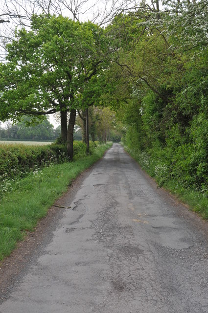
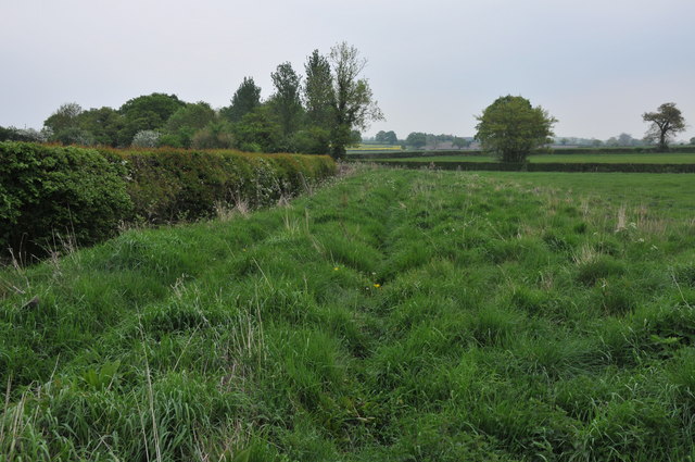
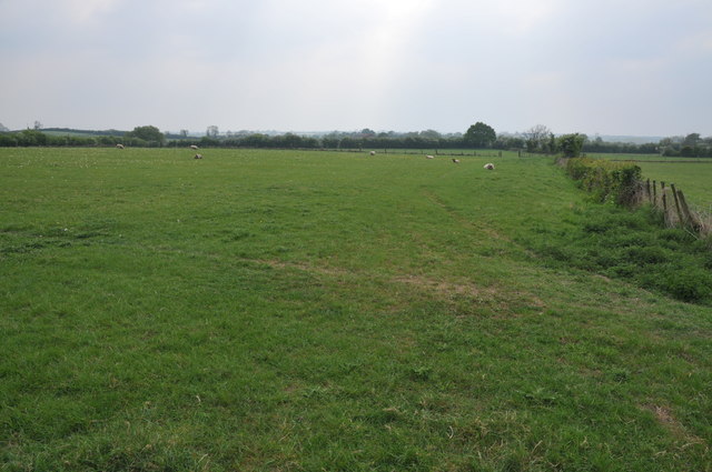
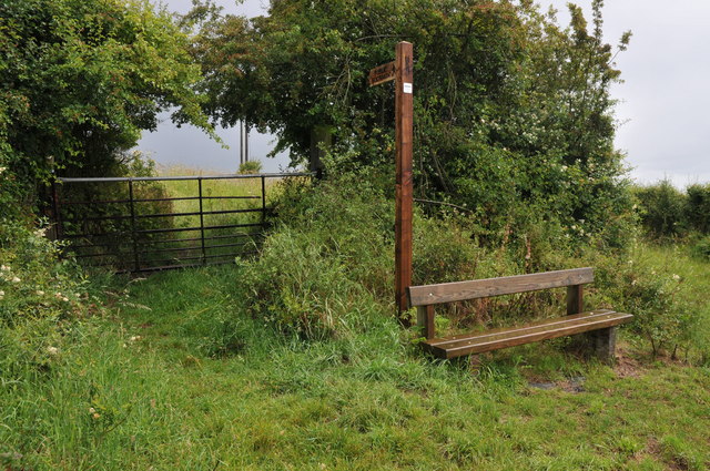
The surrounding countryside offers ample opportunities for outdoor activities such as walking, cycling, and horse riding. Inkberrow is also known for its vibrant community events, including the annual Scarecrow Festival, which attracts visitors from far and wide.
Inkberrow's idyllic setting, rich history, and strong sense of community make it a truly special place to visit or call home. Whether exploring its quaint streets or enjoying the surrounding natural beauty, visitors to Inkberrow are sure to be captivated by its timeless charm.
If you have any feedback on the listing, please let us know in the comments section below.
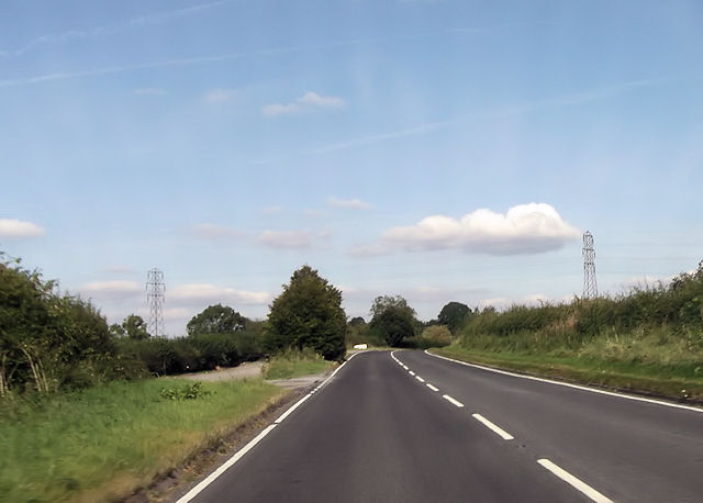
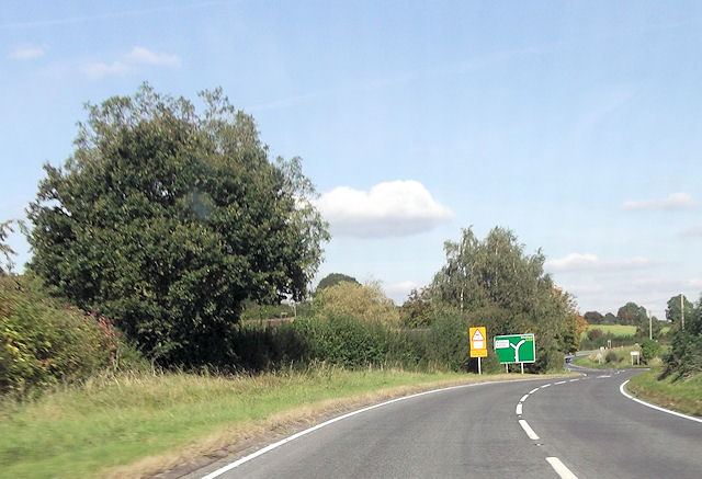
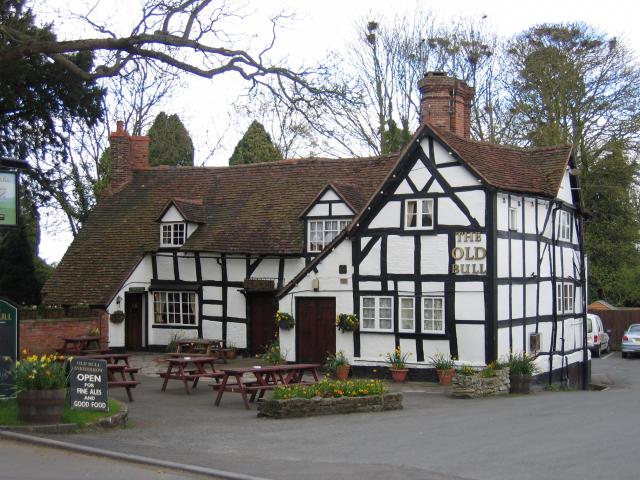
Inkberrow, Little Images
Images are sourced within 2km of 52.217666/-1.99199 or Grid Reference SP0057. Thanks to Geograph Open Source API. All images are credited.


Inkberrow, Little is located at Grid Ref: SP0057 (Lat: 52.217666, Lng: -1.99199)
Administrative County: Worcestershire
District: Wychavon
Police Authority: West Mercia
What 3 Words
///bribing.surpassed.nourished. Near Inkberrow, Worcestershire
Nearby Locations
Related Wikis

Little Inkberrow
Little Inkberrow is a village in Worcestershire, England. Ralph Ardern inherited the Worcestershire manor of Little Inkberrow between 1382 (the death...

Sporting Club Inkberrow F.C.
Sporting Club Inkberrow Football Club is a football club based in Inkberrow, England. They are currently members of the Hellenic League Division One and...
Inkberrow
Inkberrow is a village in Worcestershire, England, often thought to be the model for Ambridge, the setting of BBC Radio 4's long-running series The Archers...
Inkberrow Castle
Inkberrow Castle was situated in the village of Inkberrow in Worcestershire, some 10 km south of Redditch (grid reference SP017572). It was a castle built...

Dormston
Dormston is a village and civil parish in Worcestershire about 3 miles (4.8 km) south of Redditch. == Name == Dormston's toponym has evolved from Deormodesealdtune...
Holberrow Green
Holberrow Green is a village in Worcestershire, England. == External links == Media related to Holberrow Green at Wikimedia Commons

Kington, Worcestershire
Kington is a village in Worcestershire, England, situated near to Flyford Flavell. == History == The earliest known recording of Kington in the Domesday...
Radford, Worcestershire
Radford is a hamlet in the Wychavon district of Worcestershire, England. It is 1 mile SSW of Inkberrow. In 2013, Landscan population maps show there to...
Nearby Amenities
Located within 500m of 52.217666,-1.99199Have you been to Inkberrow, Little?
Leave your review of Inkberrow, Little below (or comments, questions and feedback).