Osman Skerries
Island in Shetland
Scotland
Osman Skerries
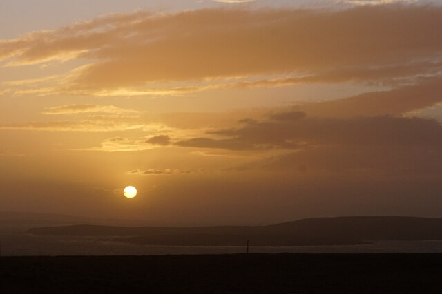
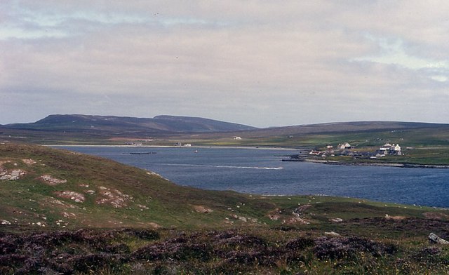
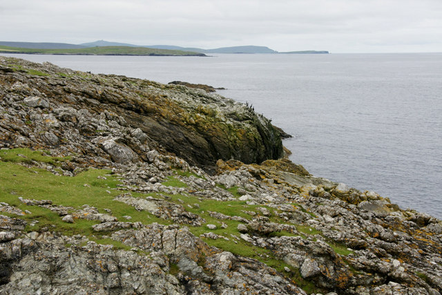
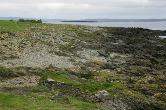
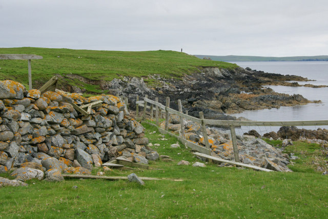
Osman Skerries is a group of small islands located off the coast of Shetland, a remote archipelago in the Northern Isles of Scotland. Situated approximately 15 miles northeast of Lerwick, the main town of Shetland, these rocky islets form an important ecological site and are designated as a Special Protection Area (SPA) and a Site of Special Scientific Interest (SSSI).
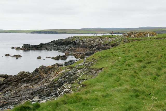
Covering an area of about 1.5 square kilometers, the Osman Skerries consist of several uninhabited islands, the largest of which is known as the Main Skerry. The islands are characterized by their rugged, rocky terrain, with steep cliffs rising from the sea. The exposed location of Osman Skerries makes it a haven for numerous seabird species, including puffins, guillemots, razorbills, and fulmars, which nest on the cliffs during the breeding season.
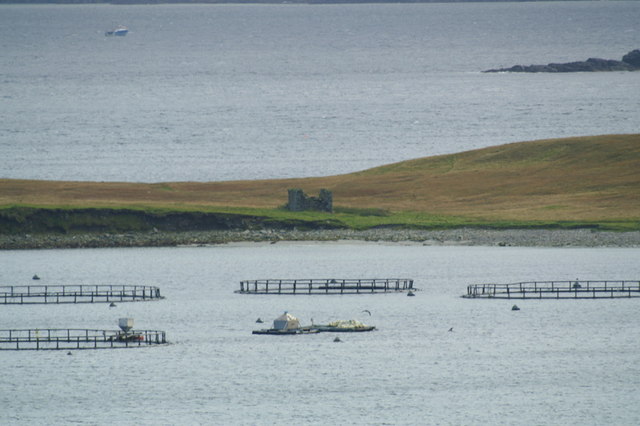
In addition to its avian inhabitants, the waters surrounding Osman Skerries are teeming with marine life. The area is home to an array of fish species, including cod, haddock, and mackerel, attracting seals, dolphins, and porpoises that feed in these rich waters. The islands also provide important haul-out sites for grey seals, which use the rocky shores for resting and breeding.
Due to its remote location and challenging access, Osman Skerries is mostly visited by birdwatchers, naturalists, and wildlife enthusiasts. Boat trips are available from Lerwick, offering visitors the opportunity to observe the diverse bird colonies and marine wildlife that thrive in this unique natural habitat. However, it is important to note that landing on the islands is generally not permitted to protect the fragile ecosystem, ensuring that Osman Skerries remains a sanctuary for its remarkable wildlife.
If you have any feedback on the listing, please let us know in the comments section below.
Osman Skerries Images
Images are sourced within 2km of 60.678181/-0.86252297 or Grid Reference HU6299. Thanks to Geograph Open Source API. All images are credited.


Osman Skerries is located at Grid Ref: HU6299 (Lat: 60.678181, Lng: -0.86252297)
Unitary Authority: Shetland Islands
Police Authority: Highlands and Islands
What 3 Words
///clocked.snooty.obstruct. Near Uyeasound, Shetland Islands
Nearby Locations
Related Wikis

Muness Castle
Muness Castle is located on Unst, which is one of the Shetland Islands of Scotland. The castle is 3 kilometres (1.9 mi) east of the village of Uyeasound...

Haaf Gruney
Haaf Gruney is a small island in the north east of the Shetland Islands. == Geography and geology == The island is between Unst and Fetlar which are to...

Uyea, Unst
Uyea (Scots: Uyea) is an uninhabited island, lying south of Unst in Shetland, Scotland. == History == The island was inhabited as early as the Bronze Age...

Clivocast
Clivocast is a settlement on the island of Unst in the Shetland Islands, Scotland at 60.67°N 00.90°W / 60.67; -00.90 or grid reference HP6000 and is situated...
Mailand, Shetland
Mailand is a hamlet in the Shetland Islands. It is on the island of Unst, the northernmost of the inhabited British Isles, near its southern coast. �...

Uyeasound
Uyeasound is a village on the Isle of Unst, the northernmost island of the Shetland Islands, Scotland. It takes its name from the neighbouring strait of...

Sound Gruney
For other islands with similar names, see Gruney (disambiguation) Sound Gruney is one of the Shetland islands. It lies about 1.5 kilometres (0.93 mi)...

Belmont, Shetland
Belmont is a settlement and ferry terminal in southern Unst in the Shetland Islands. The ferry crosses from here to Gutcher in Yell and to Hamars Ness...
Nearby Amenities
Located within 500m of 60.678181,-0.86252297Have you been to Osman Skerries?
Leave your review of Osman Skerries below (or comments, questions and feedback).