Leegal Skerry
Island in Shetland
Scotland
Leegal Skerry
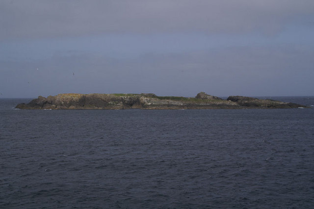
Leegal Skerry is a small uninhabited island located off the coast of Shetland, a group of islands situated in the North Atlantic Ocean. The island is part of the Shetland Islands Council area in Scotland.
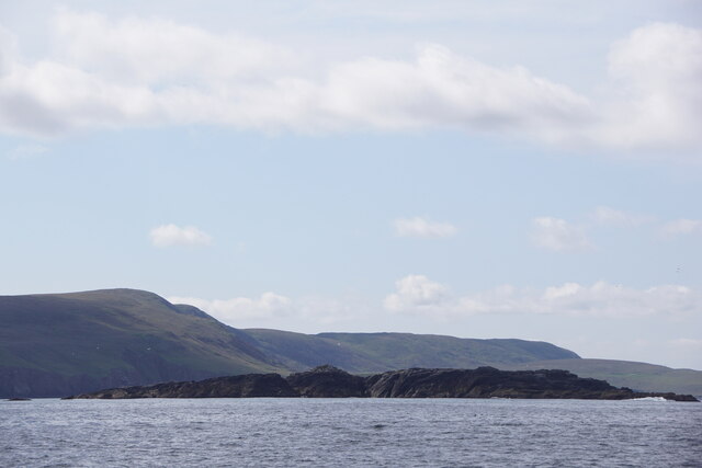
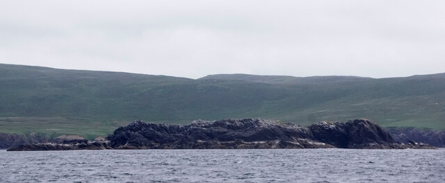
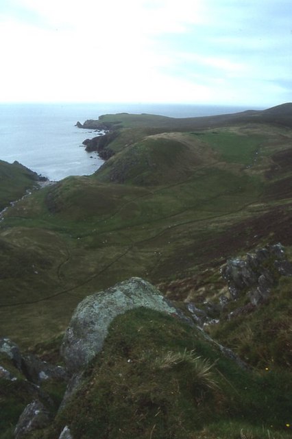
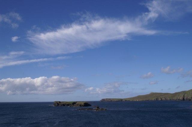
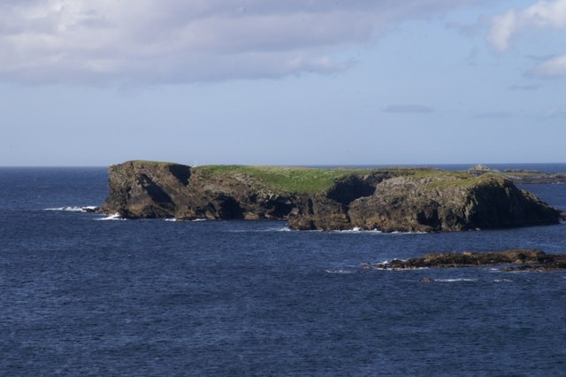
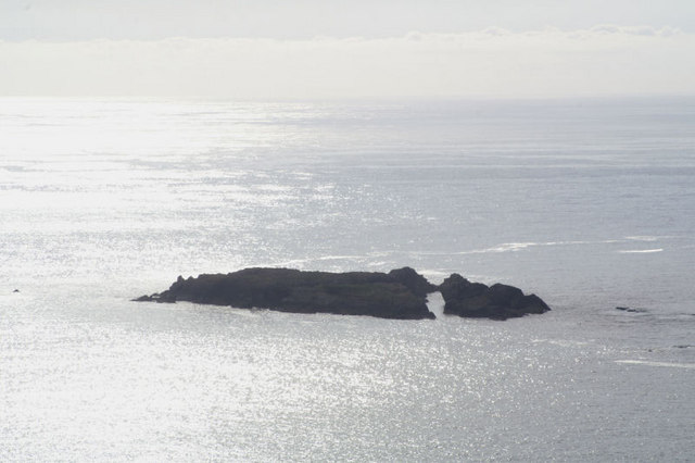
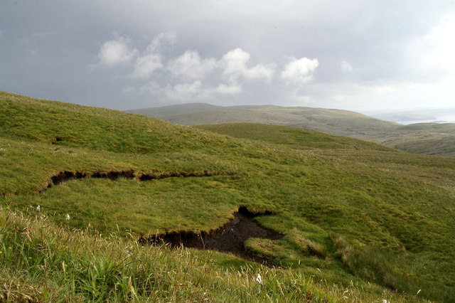
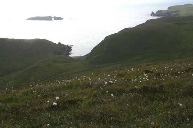
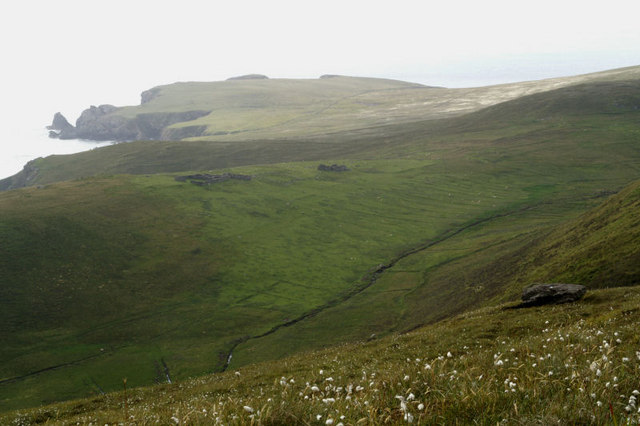
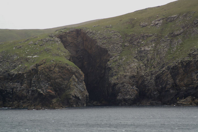
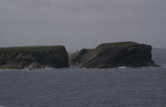
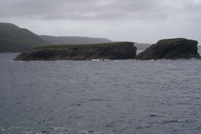
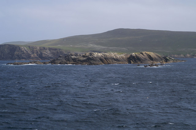
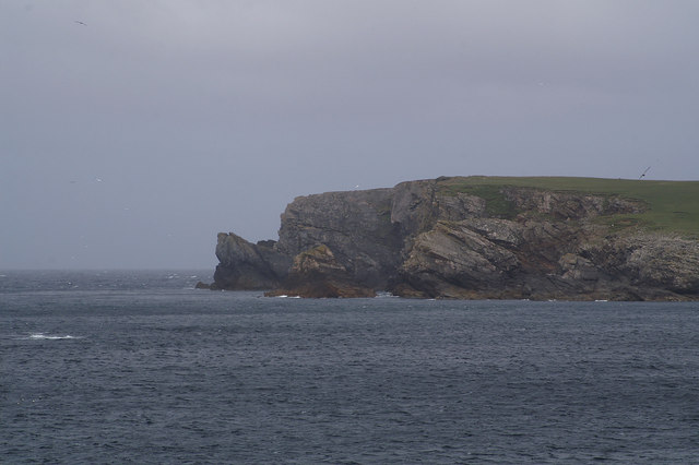
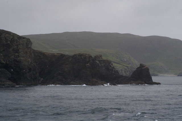
Covering an area of around 4 hectares, Leegal Skerry is characterized by its rugged coastline, consisting of steep cliffs and rocky outcrops. The island is mostly composed of basalt, which gives it a distinct dark appearance. It is often shrouded in mist, adding to its mysterious allure.
Due to its remote and inaccessible location, Leegal Skerry is not inhabited by humans. However, it serves as an important breeding ground for several species of seabirds, including Atlantic puffins, razorbills, and guillemots. These birds flock to the island during the spring and summer months to nest and raise their young.
The surrounding waters of Leegal Skerry are teeming with marine life, making it a popular spot for divers and wildlife enthusiasts. Seals can often be spotted lounging on the rocks, while dolphins and porpoises occasionally make appearances in the area.
Visitors to Leegal Skerry can enjoy breathtaking views of the surrounding seascape and observe the diverse bird population from a distance. However, it is important to note that access to the island is restricted to protect the fragile ecosystem and nesting seabirds.
Overall, Leegal Skerry offers a unique opportunity to experience the untamed beauty of nature and witness the thriving wildlife that calls the Shetland Islands home.
If you have any feedback on the listing, please let us know in the comments section below.
Leegal Skerry Images
Images are sourced within 2km of 60.780131/-0.956937 or Grid Reference HP5611. Thanks to Geograph Open Source API. All images are credited.
Leegal Skerry is located at Grid Ref: HP5611 (Lat: 60.780131, Lng: -0.956937)
Unitary Authority: Shetland Islands
Police Authority: Highlands and Islands
What 3 Words
///plod.films.talent. Near Baltasound, Shetland Islands
Nearby Locations
Related Wikis

Burrafirth
Burrafirth links (Old Norse: Borgarfjorðr, meaning "the fjord with a castle") is a strip of land with a few houses on the island of Unst, Shetland, Scotland...

Unst
Unst (; Scots: Unst; Norn: Ønst) is one of the North Isles of the Shetland Islands, Scotland. It is the northernmost of the inhabited British Isles and...

1992 New Year's Day Storm
The New Year's Day Storm (Norwegian: Nyttårsorkanen), known in Scotland as the 'Hogmanay Hurricane', was an intense European windstorm that affected much...
Society of Our Lady of the Isles
The Society of Our Lady of the Isles (SOLI) is a small Anglican religious order for women, founded in the late 20th century. It is located in Shetland...

Brough Holm
Brough Holm is a small island off Unst, in the North Isles of Shetland. It is off Westing, which as the name implies is on the west coast of Unst. The...

Baltasound
Baltasound (or Baltasund) is the largest settlement on the island of Unst in Shetland, Scotland. It comes from the Old Norse man's name Balti (Baltisund...

Unst Airport
Unst Airport also called Baltasound Airport is an unlicensed airfield near Baltasound, on the island of Unst, Shetland Islands, Scotland. The airfield...

Haroldswick
Haroldswick or Harold's Wick (Old Norse: Haraldsvík, 'Harald's bay'), is on Unst, Shetland Islands, Scotland, and is one of the most northerly settlements...
Have you been to Leegal Skerry?
Leave your review of Leegal Skerry below (or comments, questions and feedback).