Base Green

Settlement in Derbyshire

England

Base Green

Ridgeway Craft Centre, Near Sheffield
Ridgeway Craft Centre, Near Sheffield Credit: Andrew Loughran

Base Green is a small village located in the county of Derbyshire, England. Situated approximately 4 miles east of the city of Chesterfield, it falls within the North East Derbyshire district. The village is surrounded by picturesque countryside, offering residents a peaceful and rural setting.

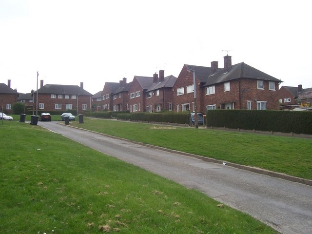
With a population of around 1,000 people, Base Green has a close-knit community that prides itself on its friendly and welcoming atmosphere. The village is primarily residential, consisting of a mix of housing styles, including traditional cottages and modern developments. The area is known for its well-maintained gardens and beautiful landscapes, making it an attractive place to live.

Despite its small size, Base Green offers a range of amenities for its residents. The village has a local primary school, providing education for children aged 4 to 11. There is also a community center that hosts various activities and events throughout the year, fostering a sense of community spirit.

For those seeking outdoor activities, Base Green benefits from its proximity to the Peak District National Park. This allows residents to easily access the stunning natural landscapes, offering opportunities for hiking, cycling, and other outdoor pursuits.

Base Green enjoys good transportation links, with regular bus services connecting the village to nearby towns and cities. The village is also conveniently located close to major road networks, making it easily accessible by car.

Overall, Base Green offers its residents a tranquil and scenic village setting, while still providing essential amenities and easy access to surrounding areas.

If you have any feedback on the listing, please let us know in the comments section below.
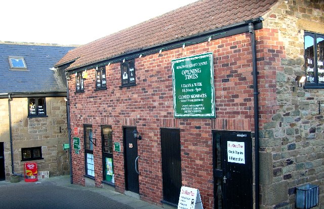
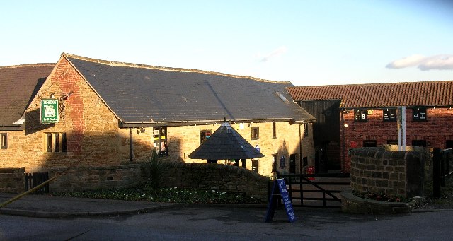
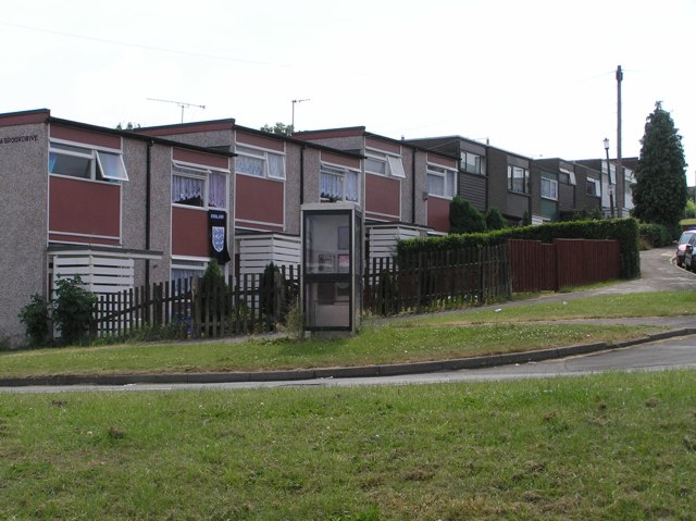
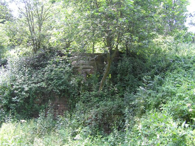
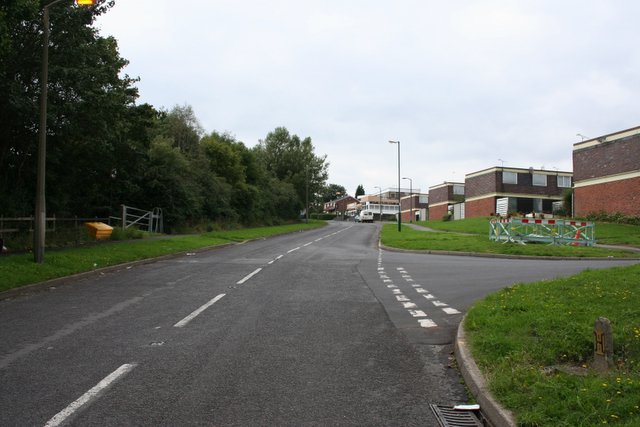
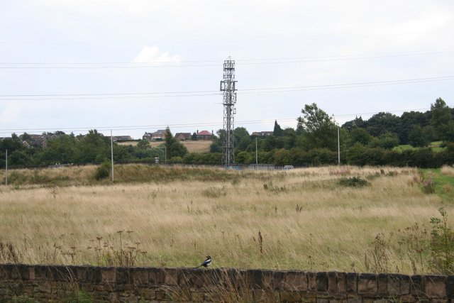
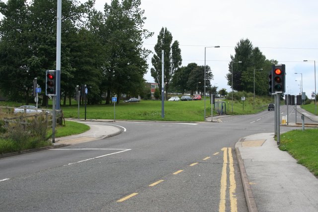
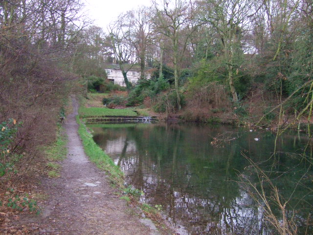
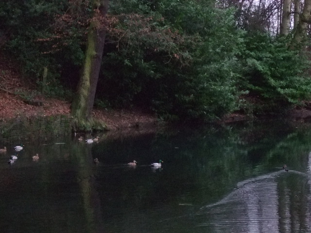
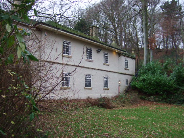
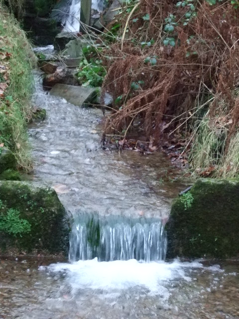
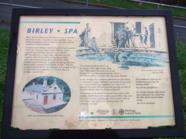
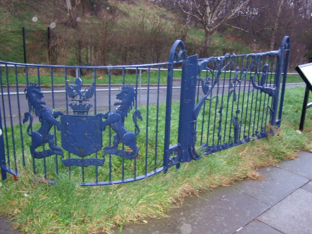
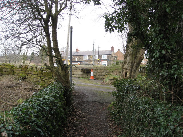
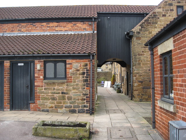
Base Green Images

Images are sourced within 2km of 53.343796/-1.414173 or Grid Reference SK3983. Thanks to Geograph Open Source API. All images are credited.

Ridgeway Craft Centre, Near Sheffield
Ridgeway Craft Centre, Near Sheffield (NE Derbyshire)
Houses on Scowerdons estate Can't really say much more. This is the bottom end of Hackenthorpe, the opposite side of the Shirebrook Valley to Woodhouse and Beighton.
Houses on Scowerdons estate
Can't really say much more. This is the bottom end of Hackenthorpe, the opposite side of the Shirebrook Valley to Woodhouse and Beighton.
Remains of Nether Wheel, Woodhouse Along with <a href="https://www.geograph.org.uk/photo/194486">SK4184 : Carr Forge Dam</a>, the Nether Wheel was yet another of the waterwheels along the Shirebrook Valley. This one still has visible remains of the buildings, buried in woodland although accessible by waymarked footpaths. This wheel probably drove grinding stones or similar for the manufacture of agricultural tools.
Remains of Nether Wheel, Woodhouse
Along with SK4184 : Carr Forge Dam, the Nether Wheel was yet another of the waterwheels along the Shirebrook Valley. This one still has visible remains of the buildings, buried in woodland although accessible by waymarked footpaths. This wheel probably drove grinding stones or similar for the manufacture of agricultural tools.
Silkstone Road, Hackenthorpe One of the many newer roads in the area, certainly not appearing on the 1940's map.
Silkstone Road, Hackenthorpe
One of the many newer roads in the area, certainly not appearing on the 1940's map.
Communications mast, Birley It's a communications mast. It's accessed from a short lane called Dent Lane off Birley Lane. The latter is part of the tram route from Halfway into Sheffield.
Communications mast, Birley
It's a communications mast. It's accessed from a short lane called Dent Lane off Birley Lane. The latter is part of the tram route from Halfway into Sheffield.
Tram crossing / road junction, Birley Lane To the left is Birley Lane. To the right is Sheffield Road. Straight on up is Birley Moor Road and down behind me is Moor Valley. The tram route to the right heads towards Crystal Peaks and the ultimate terminus at Halfway. To the left (west) it heads up past Birley Golf Course, on to the Manor Top and down into Sheffield.
Tram crossing / road junction, Birley Lane
To the left is Birley Lane. To the right is Sheffield Road. Straight on up is Birley Moor Road and down behind me is Moor Valley. The tram route to the right heads towards Crystal Peaks and the ultimate terminus at Halfway. To the left (west) it heads up past Birley Golf Course, on to the Manor Top and down into Sheffield.
Birley Spa Built by Earl Manvers in 1843 to harness the spring water, which has been used since roman times.
Birley Spa
Built by Earl Manvers in 1843 to harness the spring water, which has been used since roman times.
Birley Spa Grounds. Looking through the lake and garden,back up to the spa.
Birley Spa Grounds.
Looking through the lake and garden,back up to the spa.
Birley Duckpond This very quiet garden is a haven for wildlife.
Birley Duckpond
This very quiet garden is a haven for wildlife.
Birley Spa The front of the spa.
Birley Spa
The front of the spa.
Birley Spa The waters as they come out of the spa house, it didn't taste particularly nice.
Birley Spa
The waters as they come out of the spa house, it didn't taste particularly nice.
Birley Spa Plaque Information board with the history of Birley Spa.
Birley Spa Plaque
Information board with the history of Birley Spa.
Birley Spa Fence The fencing displays the Sheffield Mayoral Coat of Arms and wild life found at Birley Spa.
Birley Spa Fence
The fencing displays the Sheffield Mayoral Coat of Arms and wild life found at Birley Spa.
Ridgeway - Main Road
Ridgeway - Footpath and Queens Head
Ridgeway Craft Centre
Jermyn Way Local authority built housing, typical of this area.
Jermyn Way
Local authority built housing, typical of this area.
Show me another place!

Base Green is located at Grid Ref: SK3983 (Lat: 53.343796, Lng: -1.414173)

Unitary Authority: Sheffield

Police Authority: South Yorkshire

What 3 Words

///same.making.zeal. Near Orgreave, South Yorkshire

Nearby Locations

Base Green Frecheville

Related Wikis

Gleadless Townend

Gleadless Townend is an outer city district of Sheffield centred on the junction of the ring road, White Lane (B6054) and Gleadless Road (B6388). ��2...

Robin Brook (river)

The Robin Brook is a small stream originating in the south eastern part of the City of Sheffield in South Yorkshire, England. The source of the stream...

Frecheville Comprehensive

Frecheville Comprehensive School was a secondary school located in Frecheville, South Yorkshire, England. When built, the school was in Derbyshire, but...

The Birley Academy

The Birley Academy, previously known as Birley Community College, is a secondary school in Birley, Sheffield, South Yorkshire, England. It is part of the...

Nearby Amenities

Located within 500m of 53.343796,-1.414173
Bus Stop
Basegreen Drive/Jaunty Road
Alt Name: Basegreen Drive/Jaunty Road
Bus: yes
Naptan AltCommonName: Basegreen Drive/Jaunty Road
Naptan AtcoCode: 370022312
Naptan Bearing: SE
Naptan CommonName: Basegreen Drive/Jaunty Road
Naptan Indicator: 22312
Naptan Landmark: OPPOSITE NO. 46
Naptan PlusbusZoneRef: ROTHCEN
Naptan Street: Basegreen Drive
Naptan Verified: no
Public Transport: platform
Source: naptan_import
Lat/Long: 53.3429462/-1.4122689
Bus Stop
Basegreen Drive/Basegreen Road
Bus: yes
Naptan AtcoCode: 370022313
Naptan Bearing: NW
Naptan CommonName: Basegreen Drive/Basegreen Road
Naptan Indicator: 22313
Naptan Landmark: Opposite 43/45
Naptan PlusbusZoneRef: ROTHCEN
Naptan Street: Basegreen Drive
Naptan Verified: no
Public Transport: platform
Source: naptan_import
Lat/Long: 53.3430734/-1.4131187
Bus Stop
Basegreen Drive/Basegreen Close
Bus: yes
Naptan AtcoCode: 370022314
Naptan Bearing: SE
Naptan CommonName: Basegreen Drive/Basegreen Close
Naptan Indicator: 22314
Naptan Landmark: OPPOSITE NO. 26
Naptan PlusbusZoneRef: ROTHCEN
Naptan Street: Basegreen Drive
Naptan Verified: no
Public Transport: platform
Source: naptan_import
Lat/Long: 53.3436668/-1.4148513
Bus Stop
Fox Lane/Jaunty Road
Alt Name: Fox Lane/Jaunty Road
Bus: yes
Naptan AltCommonName: Fox Lane/Jaunty Road
Naptan AtcoCode: 370022315
Naptan Bearing: SW
Naptan CommonName: Fox Lane/Jaunty Road
Naptan Indicator: 22315
Naptan Landmark: OPPOSITE NO. 140
Naptan PlusbusZoneRef: ROTHCEN
Naptan Street: Fox Lane
Naptan Verified: no
Public Transport: platform
Source: naptan_import
Lat/Long: 53.3426939/-1.4107757
Bus Stop
Fox Lane/Jaunty Mount
Bus: yes
Naptan AtcoCode: 370022316
Naptan Bearing: NE
Naptan CommonName: Fox Lane/Jaunty Mount
Naptan Indicator: 22316
Naptan Landmark: Opposite Field
Naptan PlusbusZoneRef: ROTHCEN
Naptan Street: Fox Lane
Naptan Verified: no
Public Transport: platform
Source: naptan_import
Lat/Long: 53.343689/-1.410358
Bus Stop
Fox Lane/Kildonan Grove
Alt Name: Fox Lane/Kildonan Grove
Bus: yes
Naptan AltCommonName: Fox Lane/Kildonan Grove
Naptan AtcoCode: 370022317
Naptan Bearing: SW
Naptan CommonName: Fox Lane/Kildonan Grove
Naptan Indicator: 22317
Naptan Landmark: 22317
Naptan PlusbusZoneRef: ROTHCEN
Naptan Street: Fox Lane
Naptan Verified: no
Public Transport: platform
Source: naptan_import
Lat/Long: 53.3461078/-1.4088462
Bus Stop
Fox Lane/Thornbridge Drive
Alt Name: Fox Lane/Thornbridge Drive
Bus: yes
Naptan AltCommonName: Fox Lane/Thornbridge Drive
Naptan AtcoCode: 370022318
Naptan Bearing: NE
Naptan CommonName: Fox Lane/Thornbridge Drive
Naptan Indicator: 22318
Naptan Landmark: 22318
Naptan PlusbusZoneRef: ROTHCEN
Naptan Street: Fox Lane
Naptan Verified: no
Public Transport: platform
Source: naptan_import
Lat/Long: 53.3464401/-1.4087631
Bus Stop
Basegreen Drive/Lister Avenue
Bus: yes
Naptan AtcoCode: 370022664
Naptan Bearing: NW
Naptan CommonName: Basegreen Drive/Lister Avenue
Naptan Indicator: 22664
Naptan Landmark: OPPOSITE NO. 15
Naptan PlusbusZoneRef: ROTHCEN
Naptan Street: Basegreen Drive
Naptan Verified: no
Public Transport: platform
Source: naptan_import
Lat/Long: 53.3437907/-1.4158383
Bus Stop
Lister Avenue/Lister Drive
Alt Name: Lister Avenue/Lister Drive
Bus: yes
Naptan AltCommonName: Lister Avenue/Lister Drive
Naptan AtcoCode: 370022667
Naptan Bearing: S
Naptan CommonName: Lister Avenue/Lister Drive
Naptan Indicator: 22667
Naptan Landmark: Road Junction
Naptan PlusbusZoneRef: ROTHCEN
Naptan Street: Lister Avenue
Naptan Verified: no
Public Transport: platform
Source: naptan_import
Lat/Long: 53.3443753/-1.4172318
Bus Stop
Lister Avenue/Lister Drive
Alt Name: Lister Avenue/Lister Drive
Bus: yes
Naptan AltCommonName: Lister Avenue/Lister Drive
Naptan AtcoCode: 370022668
Naptan Bearing: N
Naptan CommonName: Lister Avenue/Lister Drive
Naptan Indicator: 22668
Naptan Landmark: Opposite 79
Naptan PlusbusZoneRef: ROTHCEN
Naptan Street: Lister Avenue
Naptan Verified: no
Public Transport: platform
Source: naptan_import
Lat/Long: 53.3452231/-1.4178823
Bus Stop
Jaunty Avenue/Lister Avenue
Bus: yes
Naptan AtcoCode: 370022669
Naptan Bearing: SW
Naptan CommonName: Jaunty Avenue/Lister Avenue
Naptan Indicator: 22669
Naptan Landmark: Road Junction
Naptan PlusbusZoneRef: ROTHCEN
Naptan Street: Jaunty Avenue
Naptan Verified: no
Public Transport: platform
Source: naptan_import
Lat/Long: 53.346715/-1.4175305
Bus Stop
Jaunty Avenue/Jaunty Lane
Bus: yes
Naptan AtcoCode: 370022670
Naptan Bearing: NE
Naptan CommonName: Jaunty Avenue/Jaunty Lane
Naptan Indicator: 22670
Naptan Landmark: Flats
Naptan PlusbusZoneRef: ROTHCEN
Naptan Street: Jaunty Avenue
Naptan Verified: no
Public Transport: platform
Source: naptan_import
Lat/Long: 53.3471112/-1.4164137
Jaunty Road/Basegreen Drive
Naptan AtcoCode: 370026796
Naptan Bearing: SE
Naptan BusStopType: CUS
Naptan CommonName: Jaunty Road/Basegreen Drive
Naptan Indicator: 26796
Naptan Landmark: 26796
Naptan PlusbusZoneRef: ROTHCEN
Naptan Street: Jaunty Road
Naptan Verified: no
Source: naptan_import
Lat/Long: 53.342554/-1.4117104
Bus Stop
Jaunty Road/Fox Lane
Bus: yes
Naptan AtcoCode: 370023519
Naptan Bearing: NW
Naptan CommonName: Jaunty Road/Fox Lane
Naptan Indicator: 23519
Naptan Landmark: Oppostie Red Lion Pub
Naptan PlusbusZoneRef: ROTHCEN
Naptan Street: Jaunty Road
Naptan Verified: no
Public Transport: platform
Source: naptan_import
Lat/Long: 53.3425097/-1.4118312
Turning Circle
Lat/Long: 53.3455972/-1.416743
Turning Circle
Source: Bing
Lat/Long: 53.347559/-1.4128214
Turning Circle
Source: Bing
Lat/Long: 53.3460991/-1.4083503
Turning Circle
Source: Bing
Lat/Long: 53.3453338/-1.4073787
Barrier: stile
Lat/Long: 53.3399297/-1.4103604
Crossing
Crossing: traffic_signals
Crossing Ref: pelican
Lat/Long: 53.3429102/-1.4188084
Turning Circle
Source: Bing
Lat/Long: 53.3445042/-1.4114585
Turning Circle
Source: Bing
Lat/Long: 53.344405/-1.4105196
Traffic Signals
Crossing: no
Traffic Signals Direction: forward
Lat/Long: 53.3411024/-1.4122173
Turning Circle
Source: Bing
Lat/Long: 53.3453503/-1.4102265
Traffic Signals
Crossing: no
Traffic Signals Direction: forward
Lat/Long: 53.3412917/-1.412182
Turning Circle
Source: Bing
Lat/Long: 53.3453193/-1.4095841
Turning Circle
Source: Bing
Lat/Long: 53.3461259/-1.4098943
Turning Circle
Source: Bing
Lat/Long: 53.3462652/-1.4103288
Railway: tram_level_crossing
Lat/Long: 53.3411748/-1.4123612
White Lane
Network: Supertram
Operator: Stagecoach
Public Transport: stop_position
Railway: tram_stop
Tram: yes
Lat/Long: 53.3430841/-1.4198039
Crossing
Crossing: unmarked
Lat/Long: 53.3431203/-1.4201396
Post Box
Collection Times: Mo-Fr 16:30; Sa 10:30
Post Box Type: pillar
Ref: S12 773
Royal Cypher: EIIR
Royal Cypher Wikidata: Q33102113
Lat/Long: 53.3473537/-1.4174942
Post Box
Collection Times: Mo-Fr 09:00; Sa 07:00
Post Box Type: lamp
Ref: S12 66D
Royal Cypher: EIIR
Royal Cypher Wikidata: Q33102113
Lat/Long: 53.3427647/-1.4146028
Railway: tram_level_crossing
Lat/Long: 53.3427546/-1.4179721
Railway: tram_crossing
Lat/Long: 53.3431001/-1.4201557
Railway: tram_level_crossing
Lat/Long: 53.3416247/-1.4139018
Railway: tram_level_crossing
Lat/Long: 53.3413271/-1.4128003
Railway: tram_crossing
Lat/Long: 53.3431412/-1.420123
Railway: tram_level_crossing
Lat/Long: 53.3433757/-1.4212378
Railway: tram_level_crossing
Lat/Long: 53.3412089/-1.4123236
Railway: tram_level_crossing
Lat/Long: 53.3429234/-1.4190648
White Lane
Network: Supertram
Operator: Stagecoach
Public Transport: stop_position
Railway: tram_stop
Tram: yes
Lat/Long: 53.3430388/-1.4198192
Crossing
Crossing: unmarked
Lat/Long: 53.34127/-1.4122191
Traffic Signals
Crossing: no
Traffic Signals Direction: backward
Lat/Long: 53.3412318/-1.412551
Traffic Signals
Crossing: no
Traffic Signals Direction: backward
Lat/Long: 53.3429221/-1.4188852
Traffic Signals
Crossing: no
Traffic Signals Direction: forward
Lat/Long: 53.3429016/-1.4187634
Railway: tram_crossing
Lat/Long: 53.3430435/-1.419539
Crossing
Crossing: unmarked
Lat/Long: 53.343019/-1.4195488
Railway: tram_crossing
Lat/Long: 53.3429945/-1.4195585
Railway: tram_crossing
Lat/Long: 53.3429281/-1.4187997
Railway: crossing
Lat/Long: 53.3428834/-1.4188239
Crossing
Crossing: unmarked
Lat/Long: 53.3427848/-1.4179525
Crossing
Crossing: unmarked
Lat/Long: 53.3413392/-1.4127881
Barrier: block
Lat/Long: 53.3456869/-1.4127691
Grit Bin
Operator: Sheffield City Council
Operator Type: government
Operator Wikidata: Q7492609
Seasonal: no
Lat/Long: 53.3431528/-1.4178068
Grit Bin
Operator: Sheffield City Council
Operator Type: government
Operator Wikidata: Q7492609
Seasonal: no
Lat/Long: 53.3465016/-1.4133002
Grit Bin
Operator: Sheffield City Council
Operator Type: government
Operator Wikidata: Q7492609
Seasonal: no
Lat/Long: 53.3465664/-1.4136898
Grit Bin
Operator: Sheffield City Council
Operator Type: government
Operator Wikidata: Q7492609
Seasonal: no
Lat/Long: 53.3460256/-1.4170769
Grit Bin
Operator: Sheffield City Council
Operator Type: government
Operator Wikidata: Q7492609
Seasonal: no
Lat/Long: 53.3434562/-1.4173521
Grit Bin
Operator: Sheffield City Council
Operator Type: government
Operator Wikidata: Q7492609
Seasonal: no
Lat/Long: 53.3450768/-1.4160533
Defibrillator
Access: yes
Defibrillator Location: On the fence outside of the children’s centre.
Emergency: defibrillator
Indoor: no
Lat/Long: 53.3418082/-1.4193774
The data included in this document is from www.openstreetmap.org. The data is made available under ODbL.

Have you been to Base Green?

Leave your review of Base Green below (or comments, questions and feedback).