Whalsay
Island in Shetland
Scotland
Whalsay
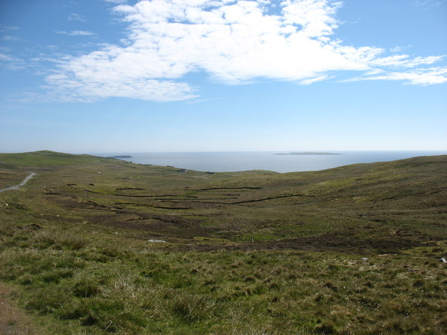
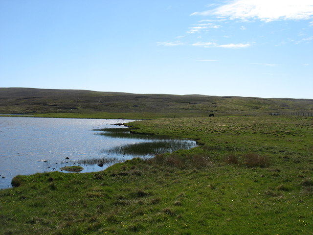
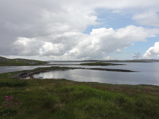
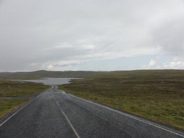
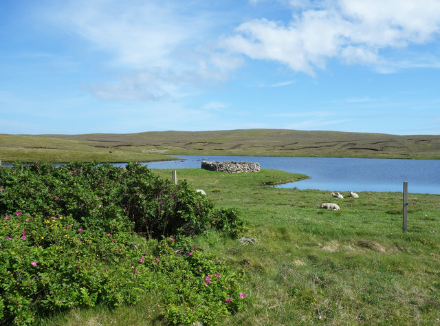
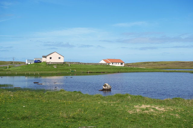
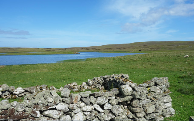
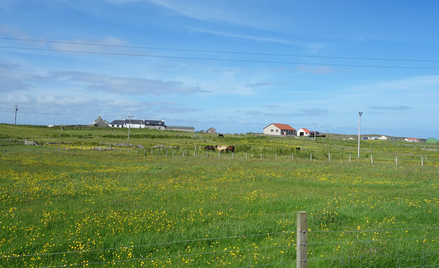
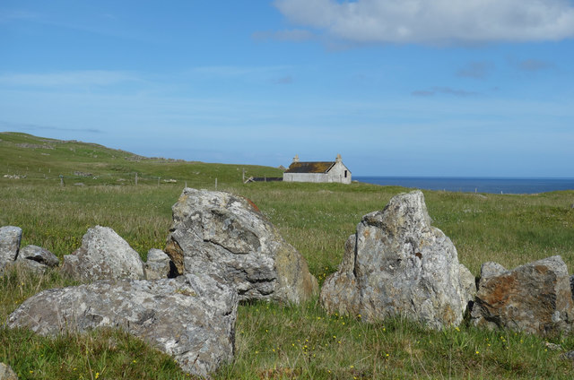
Whalsay is an island located in the Shetland archipelago, off the northeast coast of Scotland. With an area of approximately 7.5 square miles, it is the sixth-largest island in the Shetland group. Whalsay is known for its beautiful landscapes, rugged coastlines, and rich cultural heritage.
The island is predominantly agricultural, with farming and fishing being the main industries. The fertile soil and mild climate make it ideal for cultivating crops and rearing livestock. Whalsay's fishing industry thrives on the abundant marine life in the surrounding waters, particularly herring and whitefish.
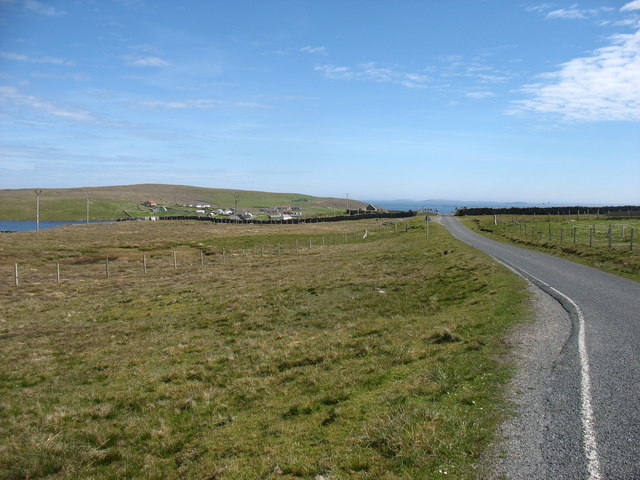
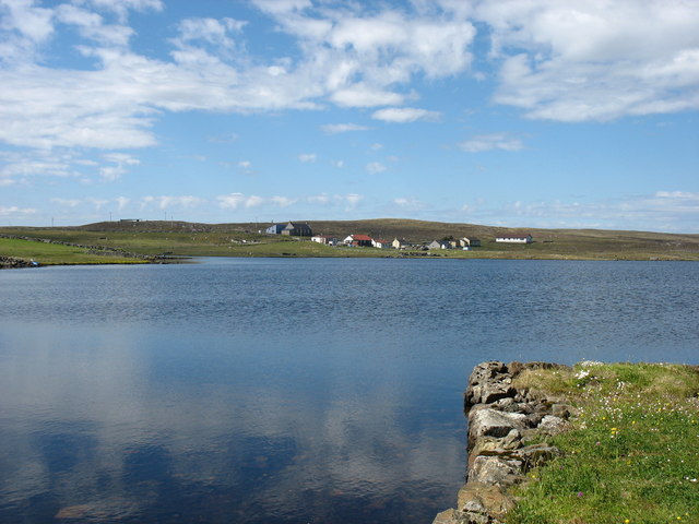
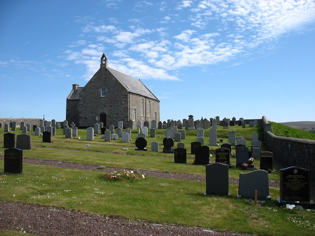
Whalsay is home to several charming villages, including Symbister, its main settlement. Symbister offers various amenities such as shops, a post office, and a school. The island also has a golf course, a leisure center, and a community hall where locals gather for social events and activities.
Nature enthusiasts will find Whalsay a paradise for birdwatching, with numerous seabird colonies, including puffins, guillemots, and razorbills. The island's dramatic cliffs and secluded beaches provide excellent opportunities for coastal walks and exploration.
Whalsay has a fascinating history, with archaeological sites dating back thousands of years. Visitors can explore ancient sites such as the Neolithic chambered cairn of Bordastubble or the Iron Age broch of Belmont. The Whalsay Heritage Center in Symbister offers insights into the island's past, displaying artifacts and exhibits that showcase its unique heritage.
Access to Whalsay is by regular ferry services from the mainland or by air from Shetland's main airport at Sumburgh. The island offers a tranquil and picturesque escape, where visitors can immerse themselves in the natural beauty and rich history of the Shetland Islands.
If you have any feedback on the listing, please let us know in the comments section below.
Whalsay Images
Images are sourced within 2km of 60.357566/-0.98077317 or Grid Reference HU5664. Thanks to Geograph Open Source API. All images are credited.


Whalsay is located at Grid Ref: HU5664 (Lat: 60.357566, Lng: -0.98077317)
Unitary Authority: Shetland Islands
Police Authority: Highlands and Islands
What 3 Words
///stiff.shuffles.condition. Near Symbister, Shetland Islands
Nearby Locations
Related Wikis

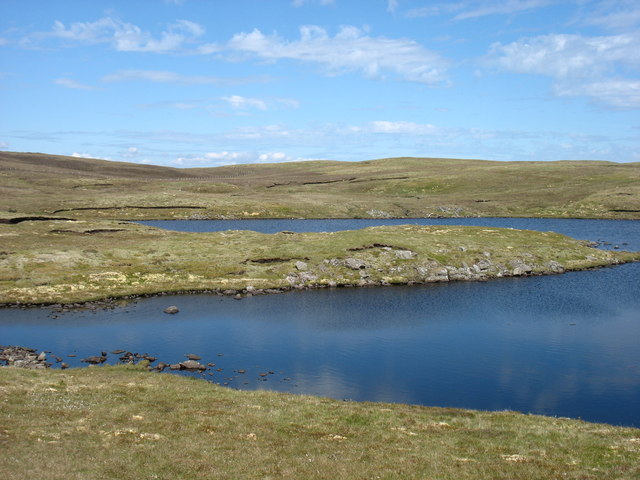
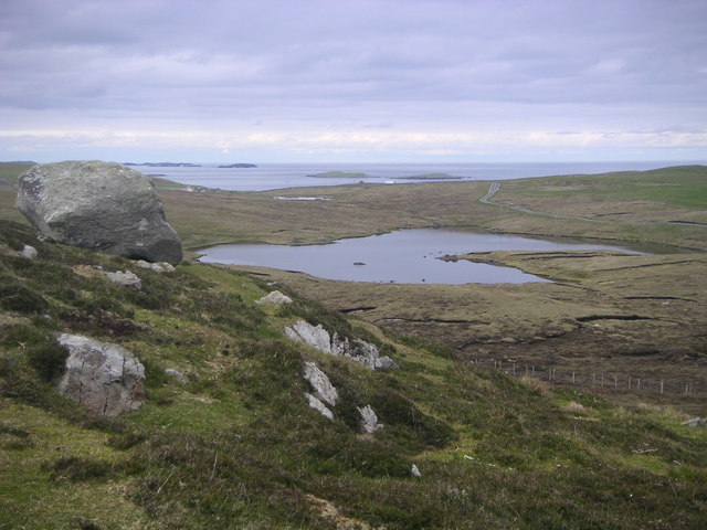
Loch of Stanefield
Loch of Stanefield is a small loch of southern-central Whalsay, Shetland Islands, Scotland. It is located to the northeast of the Loch of Livister, west...

Loch of Houll
Loch of Houll is a loch on Whalsay, one of the Shetland islands of Scotland. It is located to the southeast of Brough and on the eastern side of Setter...
Nuckro Water
Nuckro Water is a loch of southeastern Whalsay, Shetland Islands, Scotland. It is located to the east of the Loch of Stanefield, northwest of Treawick...

Little Water, Whalsay
Little Water is a small loch of southern-central Whalsay, Shetland Islands, Scotland. It is located to the north of the Loch of Livister, south of the...

Scarfmoor Burn
Scarfmoor Burn is a burn (stream) in western Whalsay, Shetland Islands, Scotland. The source of the stream is on the southeastern side of Setter Hill....

Tripwell
Tripwell is a hamlet in western Whalsay in the parish of Nesting in the Shetland islands of Scotland. It is located to the south of the village of Brough...

Brough, Shetland
Brough is a settlement in western Whalsay in the parish of Nesting in the Shetland islands of Scotland. It lies to the southwest of Challister, northeast...

Loch of Livister
Loch of Livister is a loch of southern-central Whalsay, Shetland Islands, Scotland, located to the north of the Loch of Huxter. Though the Loch of Livister...
Have you been to Whalsay?
Leave your review of Whalsay below (or comments, questions and feedback).