Barton Island

Island in Nottinghamshire Rushcliffe

England

Barton Island

Manor Road The road leads to the small village of Barton in Fabis.
Manor Road Credit: Malcolm Neal

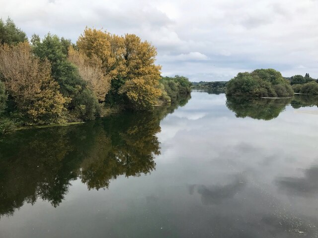
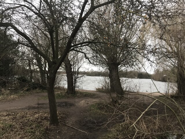
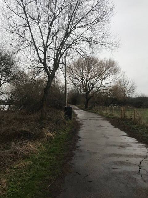
Barton Island is a small island located in the River Trent, Nottinghamshire, England. Situated near the village of Barton in Fabis, the island spans approximately 1.5 hectares and is surrounded by lush greenery and picturesque views.

Access to Barton Island is limited, with a single footbridge connecting it to the mainland. The island is privately owned and is not open to the public, making it a tranquil retreat for its residents. The island is home to a few residential properties, which further adds to its exclusivity and privacy.

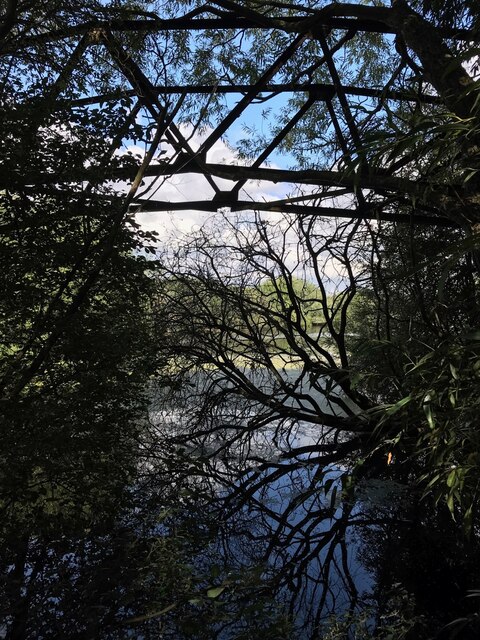
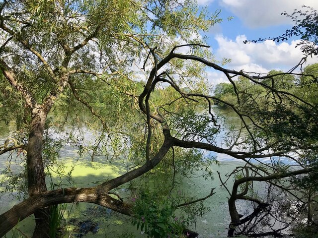
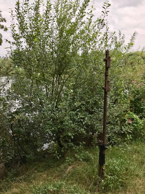
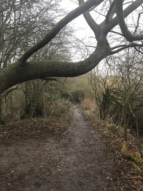
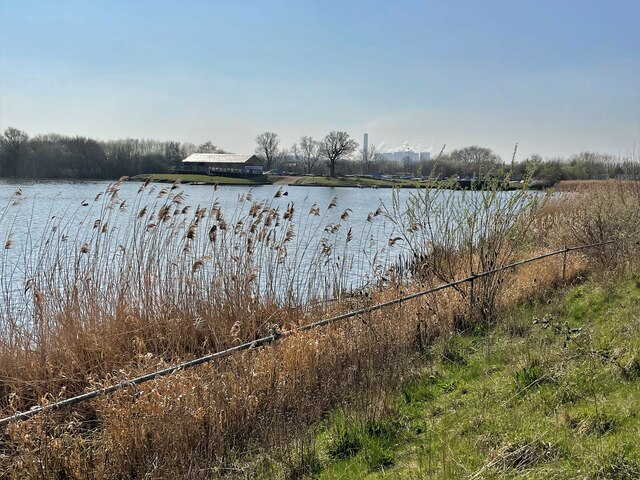
The natural landscape of Barton Island is characterized by its rich biodiversity. The island features a variety of plant species, including willow trees, reeds, and wildflowers, which attract a diverse range of wildlife. Birdwatchers can spot various species of birds, such as herons, swans, and ducks, that inhabit the surrounding river and wetlands.

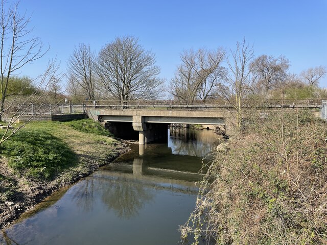
The island's location in the River Trent also makes it an ideal spot for fishing enthusiasts. Anglers can often be seen casting their lines from the riverbanks, hoping to catch a variety of fish, including pike, carp, and roach.

Barton Island offers a peaceful and idyllic setting away from the hustle and bustle of urban life. Its natural beauty, combined with its secluded location, makes it a truly unique and sought-after destination for those seeking tranquility and an escape from the modern world.

If you have any feedback on the listing, please let us know in the comments section below.

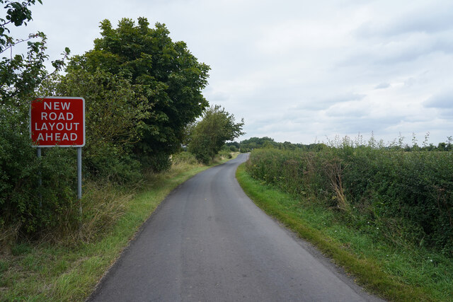
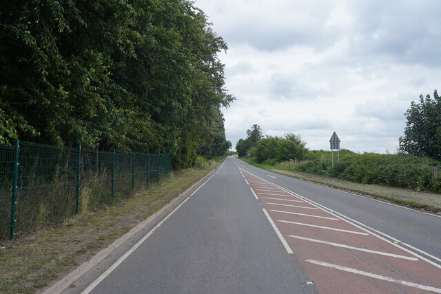
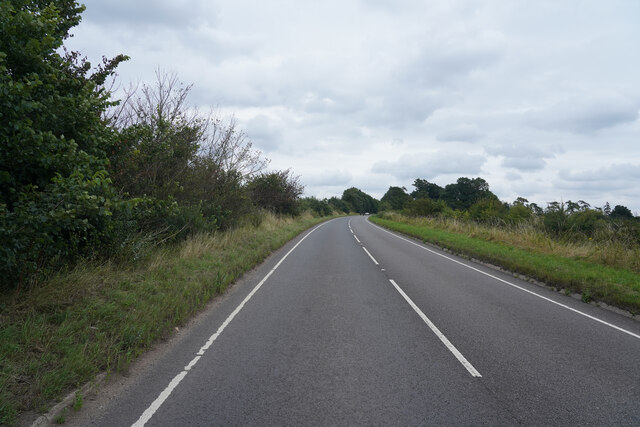
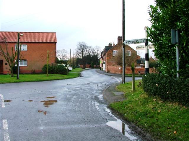
Barton Island Images

Images are sourced within 2km of 52.899784/-1.2203497 or Grid Reference SK5233. Thanks to Geograph Open Source API. All images are credited.

Manor Road The road leads to the small village of Barton in Fabis.
Manor Road
The road leads to the small village of Barton in Fabis.
Green Street Opposite is the entrance to a farm with a warning that is for the farm only!
Green Street
Opposite is the entrance to a farm with a warning that is for the farm only!
Green Lane A minor road which runs parallel to the A453 Remembrance Way.
Green Lane
A minor road which runs parallel to the A453 Remembrance Way.
Remembrance Way Now heading towards Nottingham and the way home Remembrance Way is a very busy road.
Remembrance Way
Now heading towards Nottingham and the way home Remembrance Way is a very busy road.
Old footbridge I'm amazed to see that this is still marked as such on the OS map.  The channel here has been funded for at least 20 years, and the steel bridge frame is slowly rotting.  Here it is 12 years ago <a href="https://www.geograph.org.uk/photo/1222212">SK5233 : Old Footbridge Attenborough</a>
Old footbridge
I'm amazed to see that this is still marked as such on the OS map. The channel here has been funded for at least 20 years, and the steel bridge frame is slowly rotting. Here it is 12 years ago SK5233 : Old Footbridge Attenborough
Attenborough willows
Rusty pole This spot looks quite a lot different than 12 and a half years ago <a href="https://www.geograph.org.uk/photo/1222216">SK5234 : Private Fishing on the Trent</a>. Or even 9 <a href="https://www.geograph.org.uk/photo/3010857">SK5234 : Old fishing sign beside the Trent</a>
Rusty pole
This spot looks quite a lot different than 12 and a half years ago SK5234 : Private Fishing on the Trent. Or even 9 SK5234 : Old fishing sign beside the Trent
First autumn colours Attenborough Main Pond.
First autumn colours
Attenborough Main Pond.
Petrol station development This former petrol station has been a hand car wash as long as I can remember and possibly has not been a filling station for 15 - 20 years.  The earliest Google Street View from '08 shows cars being washed! <span class="nowrap"><a title="https://www.google.co.uk/maps/@52.9115006,-1.2341062,3a,75y,54.85h,86.13t/data=!3m6!1e1!3m4!1s9BVNXy7O60gy4dnx-SoP5g!2e0!7i13312!8i6656" rel="nofollow ugc noopener" href="https://www.google.co.uk/maps/@52.9115006,-1.2341062,3a,75y,54.85h,86.13t/data=!3m6!1e1!3m4!1s9BVNXy7O60gy4dnx-SoP5g!2e0!7i13312!8i6656">Link</a><img style="margin-left:2px;" alt="External link" title="External link - shift click to open in new window" src="https://s1.geograph.org.uk/img/external.png" width="10" height="10"/></span>

Finally looks like housing is on the way.
Petrol station development
This former petrol station has been a hand car wash as long as I can remember and possibly has not been a filling station for 15 - 20 years. The earliest Google Street View from '08 shows cars being washed! LinkExternal link Finally looks like housing is on the way.
River Trent near Beeston, Nottingham Many desirable living options along the River Trent, viewed from the very wildlife friendly Attenborough Nature Reserve
River Trent near Beeston, Nottingham
Many desirable living options along the River Trent, viewed from the very wildlife friendly Attenborough Nature Reserve
Reflections of St. Mary's Looking across one of the smaller ponds in Attenborough Nature Reserve towards the nicely reflected church of St. Mary's in Ateenborough village.
Reflections of St. Mary's
Looking across one of the smaller ponds in Attenborough Nature Reserve towards the nicely reflected church of St. Mary's in Ateenborough village.
Bare trees and the lake
Attenborough Village Hall
Footpath in the Reserve
Beside Tower Hide
Beside Tower Hide
Footpath at Attenborough Nature Reserve
Railway bridge over River Erewash
Lake and Boating Club at Attenborough Nature Reserve
Show me another place!

Barton Island is located at Grid Ref: SK5233 (Lat: 52.899784, Lng: -1.2203497)

Administrative County: Nottinghamshire

District: Rushcliffe

Police Authority: Nottinghamshire

What 3 Words

///amber.finds.bravo. Near Long Eaton, Derbyshire

Nearby Locations

Barton Island

Related Wikis

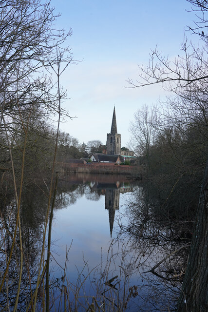
St Mary's Church, Attenborough

St. Mary's Church, Attenborough is a parish church in the Church of England in the village of Attenborough, Nottinghamshire. The church is Grade I listed...

Attenborough, Nottinghamshire

Attenborough is a village in the Borough of Broxtowe in Nottinghamshire, England. It forms part of the Greater Nottingham area and is 4+1⁄2 miles (7.2...

Attenborough Nature Reserve

Attenborough Nature Reserve is a nature reserve at Attenborough, Nottinghamshire, England, located 5 mi (8 km) south west of Nottingham city centre. It...

Attenborough railway station

Attenborough railway station serves the village of Attenborough in Nottinghamshire, England. == History == Built as a halt known as Attenborough Gate in...

Barton in Fabis

Barton in Fabis is a village and civil parish in the Rushcliffe district of Nottinghamshire. It has a population of about 250, being measured at 266 in...

St George's Church, Barton in Fabis

St George's Church is a parish church in the Church of England in Barton in Fabis, Nottinghamshire. == History == The church is medieval and is a Grade...

Chilwell School

Chilwell School (formerly known as Chilwell Comprehensive School) is a secondary school located in Chilwell, near Nottingham, England. The school is located...

River Erewash

The River Erewash is a river in England, a tributary of the River Trent that flows roughly southwards through Derbyshire, close to its eastern border...

Nearby Amenities

Located within 500m of 52.899784,-1.2203497
Barrier: kissing_gate
Lat/Long: 52.9016674/-1.2223225
Barrier: cycle_barrier
Bicycle: yes
Cycle Barrier: double
Cycle Barrier Installation: openable
Lat/Long: 52.8967152/-1.2209188
Bench
Backrest: yes
Colour: green
Material: metal
Lat/Long: 52.9017187/-1.2219633
Barrier: cycle_barrier
Cycle Barrier: double
Cycle Barrier Installation: openable
Note: very wide, only purpose seems to be to cause conflict and block motor vechs
Lat/Long: 52.8995329/-1.2214535
Barrier: cycle_barrier
Cycle Barrier: double
Cycle Barrier Installation: openable
Note: very wide, only purpose seems to be to cause conflict and block motor vechs
Lat/Long: 52.9013968/-1.2218631
Barrier: cycle_barrier
Cycle Barrier: double
Cycle Barrier Installation: openable
Note: very wide, only purpose seems to be to cause conflict and block motor vechs
Lat/Long: 52.9017678/-1.2220767
Barrier: cycle_barrier
Cycle Barrier: double
Cycle Barrier Installation: openable
Note: very wide, only purpose seems to be to cause conflict and block motor vechs
Lat/Long: 52.9038629/-1.2180159
Bench
Backrest: yes
Lat/Long: 52.8964231/-1.2212292
Bench
Backrest: yes
Colour: green
Material: metal
Lat/Long: 52.9005434/-1.2217038
Bench
Backrest: yes
Colour: green
Material: metal
Lat/Long: 52.8972912/-1.2207157
Bench
Backrest: yes
Colour: green
Material: metal
Lat/Long: 52.8969615/-1.2208244
Bench
Backrest: yes
Colour: green
Material: metal
Seats: 1
Lat/Long: 52.8979323/-1.2207135
Bench
Backrest: yes
Colour: green
Material: metal
Lat/Long: 52.8984016/-1.2210286
Bench
Backrest: yes
Colour: green
Material: metal
Lat/Long: 52.89886/-1.2212654
Bench
Backrest: yes
Colour: green
Material: metal
Lat/Long: 52.8992003/-1.2214291
Bench
Backrest: yes
Colour: green
Material: metal
Lat/Long: 52.8997161/-1.2215255
Bench
Backrest: yes
Colour: green
Material: metal
Lat/Long: 52.9013637/-1.221869
Bench
Backrest: yes
Colour: green
Material: metal
Lat/Long: 52.9018024/-1.2227474
Bench
Backrest: yes
Colour: green
Material: metal
Lat/Long: 52.9019557/-1.2243113
Bench
Backrest: yes
Colour: green
Material: metal
Lat/Long: 52.9022472/-1.2256463
Traffic Sign: yes
Lat/Long: 52.8985198/-1.2200553
The data included in this document is from www.openstreetmap.org. The data is made available under ODbL.

Have you been to Barton Island?

Leave your review of Barton Island below (or comments, questions and feedback).