Little Horkesley

Settlement in Essex Colchester

England

Little Horkesley

Wissington church
Wissington church Credit: mym

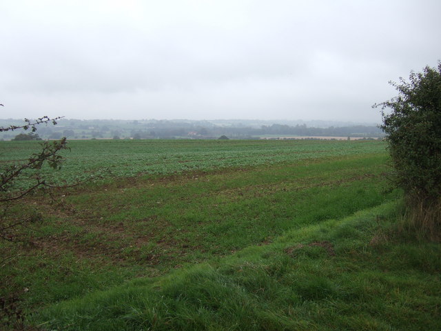
Little Horkesley is a small village located in the county of Essex, England. Situated approximately 4 miles north of Colchester, it falls within the borough of Colchester and covers an area of about 2.5 square miles. The village is nestled in the picturesque countryside, surrounded by lush green fields and rolling hills.

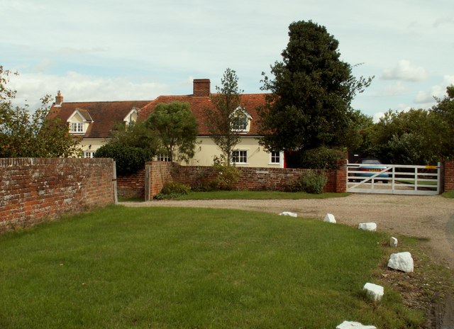
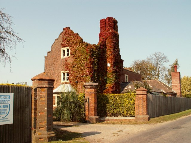
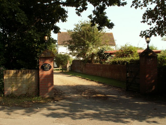
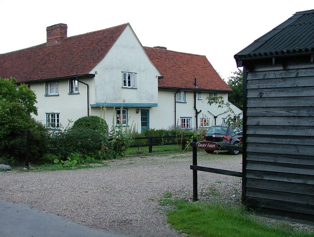
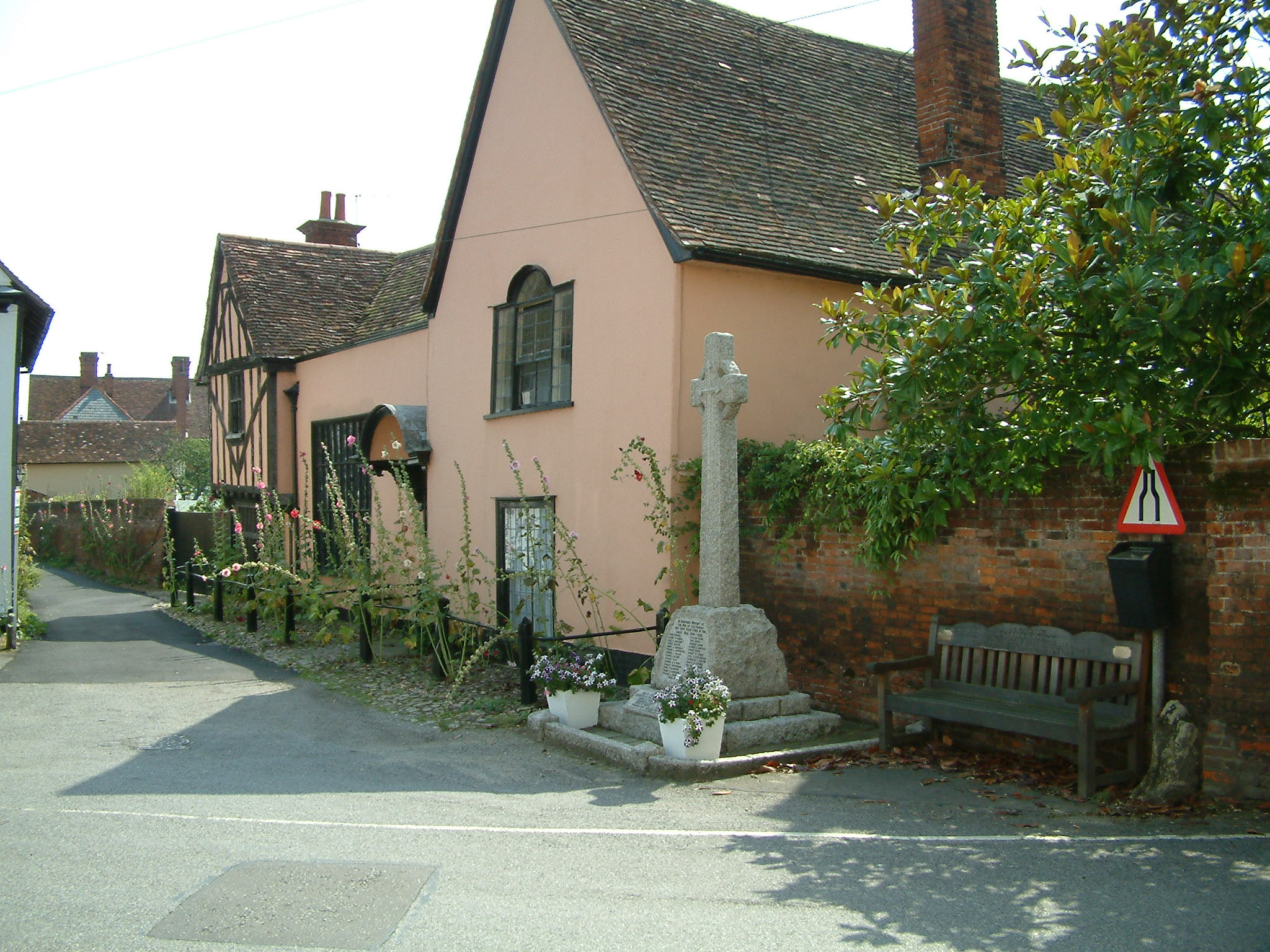
With a population of around 1,200 residents, Little Horkesley maintains a close-knit community feel. It is predominantly a residential area, characterized by charming cottages and traditional English houses. The village is known for its tranquil and idyllic setting, offering residents a peaceful and rural lifestyle.

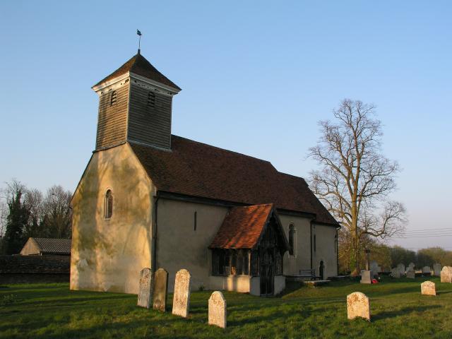
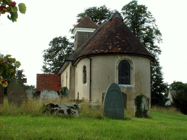
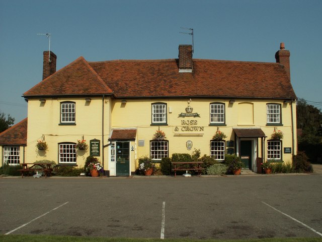
Little Horkesley boasts a number of amenities, including a primary school, village hall, and a local pub. The village also has a church, St. Peter and St. Paul, which dates back to the 12th century and serves as a historical landmark. The church features remarkable architecture and hosts regular services and community events.

The surrounding countryside provides ample opportunities for outdoor activities, with numerous footpaths and bridleways crisscrossing the area. Residents and visitors can enjoy leisurely walks, cycling, and horse riding in the picturesque countryside.

Little Horkesley enjoys excellent transport links, being conveniently located near the A134 road, which connects it to nearby towns and cities. The village offers a peaceful retreat from urban life while still providing easy access to amenities and neighboring areas.

If you have any feedback on the listing, please let us know in the comments section below.

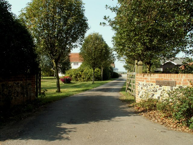
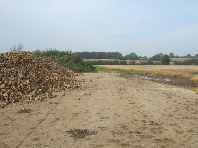
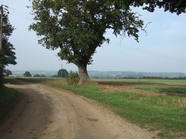
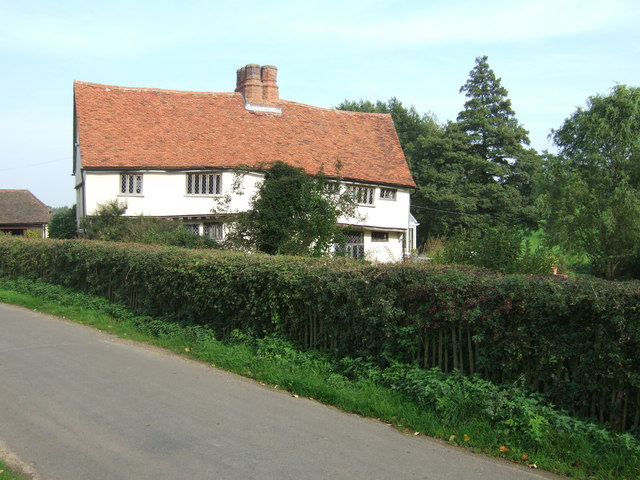
Little Horkesley Images

Images are sourced within 2km of 51.952364/0.853438 or Grid Reference TL9632. Thanks to Geograph Open Source API. All images are credited.

Wissington church
Wissington church
St. Peter & St. Paul's church, Little Horkesley, Essex The church we see today is a rebuild of 1958 because the old church was completely destroyed by a bomb in September 1940. However, many of the treasures and monuments from the old church survived and are now housed in the present church. These include three oak effigies.
St. Peter & St. Paul's church, Little Horkesley, Essex
The church we see today is a rebuild of 1958 because the old church was completely destroyed by a bomb in September 1940. However, many of the treasures and monuments from the old church survived and are now housed in the present church. These include three oak effigies.
All Saints church, Great Horkesley, Essex Most of this church is of the perpendicular period though there is evidence of Norman work.  The tower is 13th century.  Oddly, the battlements are built from Roman bricks. The church stands some distance north of the main village area.
All Saints church, Great Horkesley, Essex
Most of this church is of the perpendicular period though there is evidence of Norman work. The tower is 13th century. Oddly, the battlements are built from Roman bricks. The church stands some distance north of the main village area.
Cockrell's Farm, Wormingford, Essex
St. Mary's church, Wissington, Suffolk Apart from the bell-turret, the whole church is Norman. However, the Victorians made it look more Norman in 1853 when it was restored. This view shows the Norman apse. Inside there are extensive remains of wall paintings, though the quality is poor.
St. Mary's church, Wissington, Suffolk
Apart from the bell-turret, the whole church is Norman. However, the Victorians made it look more Norman in 1853 when it was restored. This view shows the Norman apse. Inside there are extensive remains of wall paintings, though the quality is poor.
Lodge at the entrance to Westwood Park, Essex
'Rose & Crown' inn, Great Horkesley, Essex This inn dates back to the 16th century and stands by the side of the A.134 road.
'Rose & Crown' inn, Great Horkesley, Essex
This inn dates back to the 16th century and stands by the side of the A.134 road.
Entrance to Nevards Farm, Great Horkesley, Essex
Coveneys Farm, Great Horkesley, Essex
South of Little Horkesley The Sugar Beet Harvest ready for Transport
South of Little Horkesley
The Sugar Beet Harvest ready for Transport
Byway North of Little Horkesley Byway out of Little Horkesley looking towards the Stour Valley
Byway North of Little Horkesley
Byway out of Little Horkesley looking towards the Stour Valley
Kings Farm
Kings Farm
North East of Wormingford Farmland looking towards the River Stour North East of Worminford.
North East of Wormingford
Farmland looking towards the River Stour North East of Worminford.
River Stour, Suffolk/Essex border Private fishing on the north bank of the River Stour, between Little Horkesley and Nayland. Suffolk is on the left bank, Essex is on the right bank.
River Stour, Suffolk/Essex border
Private fishing on the north bank of the River Stour, between Little Horkesley and Nayland. Suffolk is on the left bank, Essex is on the right bank.
Upper Dairy Farm, Holts Road, Little Horkesley Circa early 17th Century timber framed farm house, Grade II listed.  Farmed in the 19th Century by Henry Turrall of the East Suffolk farming family.  Now known simply as "Dairy Farm", it has in the past been known by the names "Upper Dairy Farm" and "Upper Dairy Hall Farm".
Upper Dairy Farm, Holts Road, Little Horkesley
Circa early 17th Century timber framed farm house, Grade II listed. Farmed in the 19th Century by Henry Turrall of the East Suffolk farming family. Now known simply as "Dairy Farm", it has in the past been known by the names "Upper Dairy Farm" and "Upper Dairy Hall Farm".
Vinesse Road, heading towards Little Horkesley
The farmhouse at Kings Farm on Vinesse Road
Part of Water Lane This is heading towards the A134 near Nayland.
Part of Water Lane
This is heading towards the A134 near Nayland.
Show me another place!

Little Horkesley is located at Grid Ref: TL9632 (Lat: 51.952364, Lng: 0.853438)

Administrative County: Essex

District: Colchester

Police Authority: Essex

What 3 Words

///footpath.rides.central. Near Great Horkesley, Essex

Related Wikis

Little Horkesley

Little Horkesley is a civil parish in the City of Colchester district of Essex, England. It is situated approximately 4 miles north of Colchester on the...

Little Horkesley Priory

Little Horkesley Priory was a priory of Cluniac monks in Essex, England. It was an alien priory, a daughter house of Thetford, Norfolk and dependent on...

Wissington, Suffolk

Wissington or Wiston is a small village and former civil parish, now in the parish of Nayland-with-Wissington, in the Babergh district, in south Suffolk...

Nayland-with-Wissington

Nayland-with-Wissington is a civil parish which comprises the larger village of Nayland and the adjoining rural village of Wissington (these days usually...

Wormingford

Wormingford is a village and civil parish in the City of Colchester district of Essex, England. The ancient parish of Wormingford on the south bank of...

Nayland

Nayland is a village and former civil parish, now in the parish of Nayland-with-Wissington, in the Babergh district, in the county of Suffolk, England...

Great Horkesley

Great Horkesley is a village in the City of Colchester district of Essex, England, approximately 3 miles north of Colchester. Horkesley is located in what...

Workhouse Hill

Workhouse Hill is a hamlet in the Colchester district, in the English county of Essex. == References == Sources

Nearby Amenities

Located within 500m of 51.952364,0.853438
Little Horkesley
Is In: Essex, England, UK
Place: village
Source: gps survey
Lat/Long: 51.9525518/0.8527103
The Beehive
Naptan AtcoCode: 150020518
Naptan BusStopType: CUS
Naptan NaptanCode: esxjmatd
Public Transport: platform
Source: naptan
Lat/Long: 51.9527922/0.852576
The Beehive
Naptan AtcoCode: 150020516
Naptan BusStopType: CUS
Naptan NaptanCode: esxjmatg
Public Transport: platform
Source: naptan
Lat/Long: 51.9527505/0.8524424
'Landscape Lens'
Tourism: viewpoint
Lat/Long: 51.9556377/0.8495778
The data included in this document is from www.openstreetmap.org. The data is made available under ODbL.

Have you been to Little Horkesley?

Leave your review of Little Horkesley below (or comments, questions and feedback).