Abbey Meadow

Island in Berkshire Vale of White Horse

England

Abbey Meadow

The Charter The Charter in the centre of Abingdon. The building on the right is the multi storey car park
The Charter Credit: Nigel Mykura

Abbey Meadow is a picturesque island located in the Berkshire region of England. Situated on the River Thames, this tranquil oasis offers a serene and idyllic setting for visitors seeking a respite from the hustle and bustle of city life.

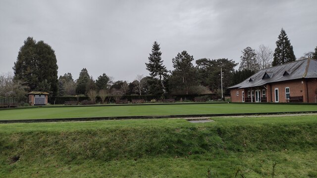
Covering an area of approximately 20 acres, Abbey Meadow is a popular destination for both locals and tourists alike. The island is known for its lush greenery, charming gardens, and stunning views of the surrounding countryside. Visitors can enjoy leisurely walks along the meandering pathways, taking in the sights and sounds of nature.

One of the main attractions of Abbey Meadow is its historic abbey ruins. Dating back to the 12th century, the abbey was once a thriving religious institution and played an important role in the local community. Today, the ruins serve as a reminder of the island's rich history and provide a picturesque backdrop for visitors to explore and photograph.

In addition to the abbey ruins, Abbey Meadow offers a range of recreational activities for visitors to enjoy. These include boating and fishing on the River Thames, picnicking on the banks of the river, and playing sports such as cricket and football on the open fields.

The island is also home to a variety of wildlife, making it a haven for nature enthusiasts. Birdwatchers will delight in the opportunity to spot a wide range of bird species, including herons, swans, and ducks that inhabit the island's wetlands.

Overall, Abbey Meadow is a charming and tranquil getaway that offers visitors a chance to immerse themselves in nature and explore the rich history of the region.

If you have any feedback on the listing, please let us know in the comments section below.
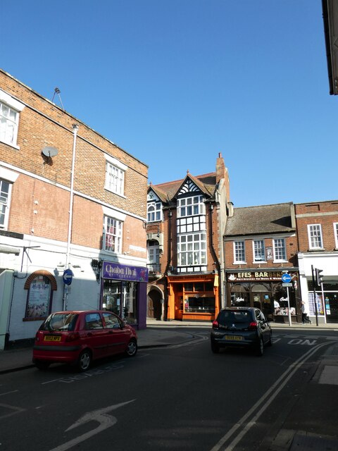
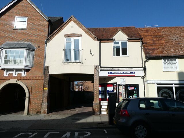
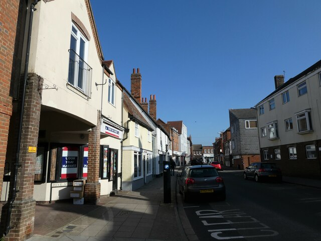
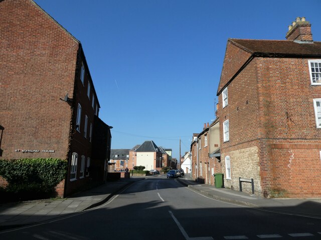
Abbey Meadow Images

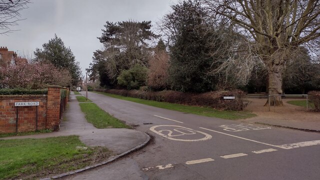
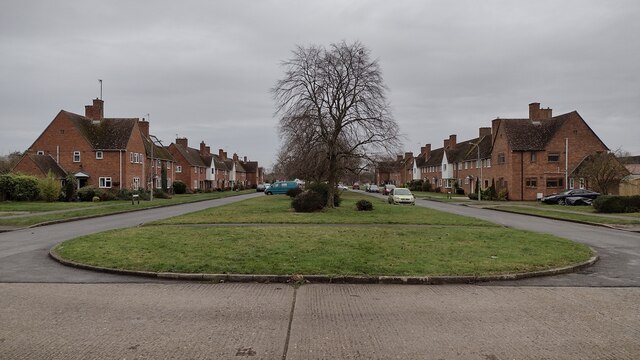
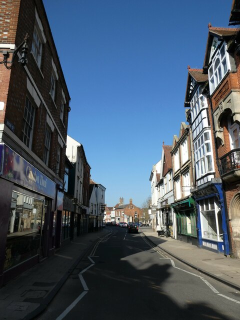
Images are sourced within 2km of 51.670458/-1.2742935 or Grid Reference SU5097. Thanks to Geograph Open Source API. All images are credited.

The Charter The Charter in the centre of Abingdon. The building on the right is the multi storey car park
The Charter
The Charter in the centre of Abingdon. The building on the right is the multi storey car park
Park Crescent Park Crescent at junction with Park Road
Park Crescent
Park Crescent at junction with Park Road
Abingdon Bowling club The Green Abingdon Bowling club in Albert Park
Abingdon Bowling club
The Green Abingdon Bowling club in Albert Park
Green Space Saint Mary's Green to the left and Saint Nicholas' Green to the right
Green Space
Saint Mary's Green to the left and Saint Nicholas' Green to the right
Basketball Play Area Basketball play area by Appledore Drive
Basketball Play Area
Basketball play area by Appledore Drive
Path to Barrow Hills Path to Barrow Hills by Saint Peter's Road
Path to Barrow Hills
Path to Barrow Hills by Saint Peter's Road
Drayton Road, Abingdon
Abingdon Market Place: late March 2022
WH Smith, Bury Street: late March 2022
Shoppers in Bury Street
March 2022: shops in the High Street
Looking westwards along the High Street
Approaching the junction of West St Helens Street and the High Street
Cyclist in West St Helens Street
Looking from West St Helens Street towards Hive Mews
Looking northwards in West St Helens Street
Looking from West St Helens Street into St Edmunds Lane
Apartments in St Edmunds Lane
Show me another place!

Abbey Meadow is located at Grid Ref: SU5097 (Lat: 51.670458, Lng: -1.2742935)

Administrative County: Oxfordshire

District: Vale of White Horse

Police Authority: Thames Valley

What 3 Words

///chart.race.deck. Near Abingdon, Oxfordshire

Related Wikis

Abingdon Abbey

Abingdon Abbey (formally Abbey of Saint Mary) was a Benedictine monastery in Abingdon-on-Thames in the modern county of Oxfordshire in the United Kingdom...

Abingdon-on-Thames

Abingdon-on-Thames ( AB-ing-dən), commonly known as Abingdon, is a historic market town and civil parish in the ceremonial county of Oxfordshire, England...
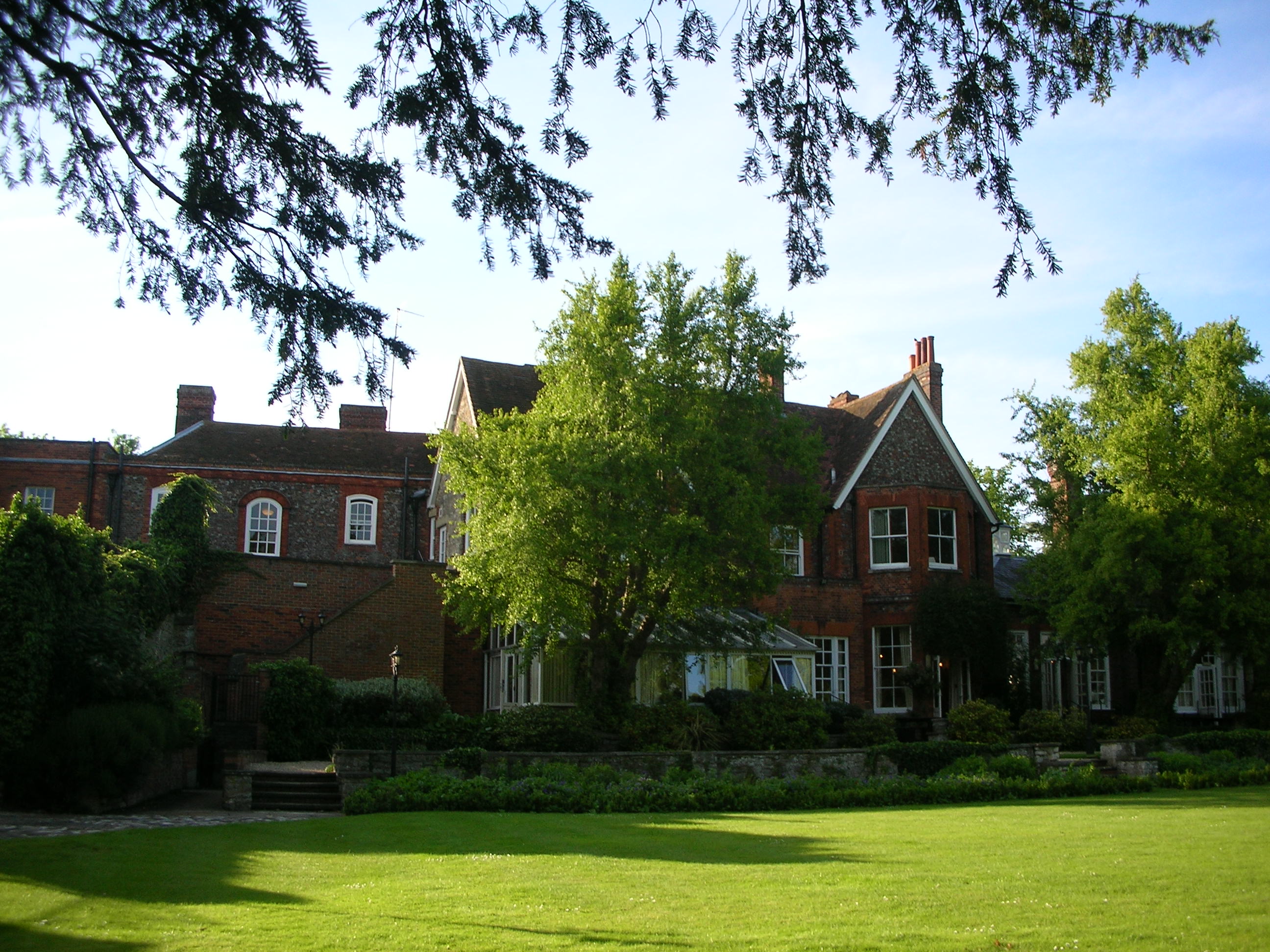
Cosener's House

The Cosener's House sits on the northern bank of the River Thames in Abingdon, separated from the town by the Abbey mill stream and within the original...

Abingdon Lock

Abingdon Lock is a lock on the River Thames in England, less than 1 mile east and upstream of Abingdon, Oxfordshire, on the opposite bank of the river...
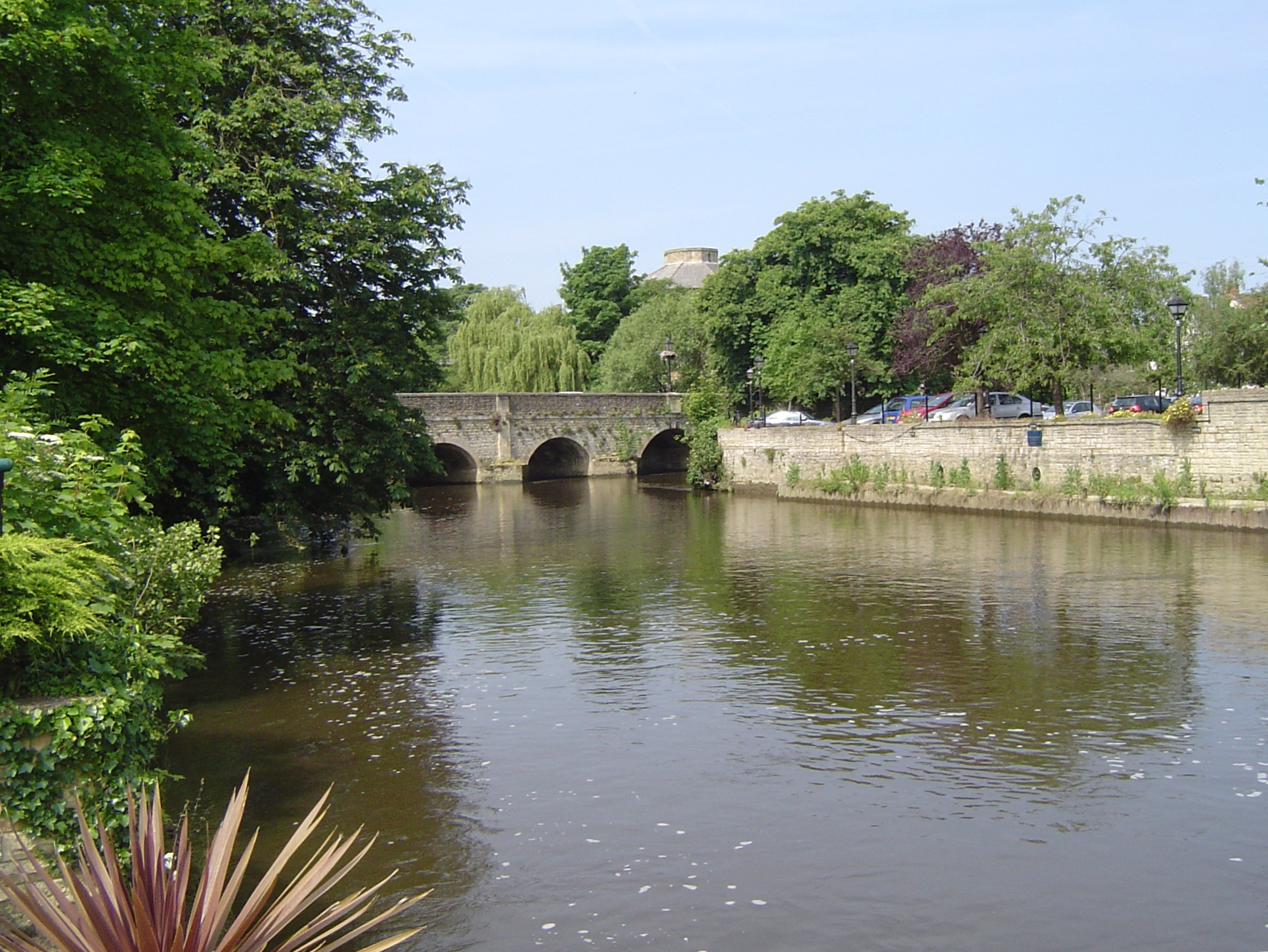
Abingdon Bridge

Abingdon Bridge crosses the River Thames at the town of Abingdon, Oxfordshire, England. It carries the A415 road from Abingdon to Dorchester, Oxfordshire...

Nag's Head Island

Nag's Head Island is an island in the River Thames in England at Abingdon. It sits in the middle of the two Abingdon Bridges on the reach above Culham...

Abingdon railway station

Abingdon railway station was a station which served the town of Abingdon in Oxfordshire, England until 1963. == History == The station was built by the...

St Nicolas Church, Abingdon

The Church of Saint Nicolas is a Church of England parish church in Abingdon in the English county of Oxfordshire (formerly within Berkshire). == History... ==

Nearby Amenities

Located within 500m of 51.670458,-1.2742935
Mini Roundabout
Direction: clockwise
Source: photograph
Lat/Long: 51.6747665/-1.2754038
Created By: Merkaartor
Lat/Long: 51.6732605/-1.2690435
Abingdon
Alt Name: Abingdon-on-Thames
Name Da: Abingdon
Name Ru: Эбингдон
Name Ur: ایبنگڈن
Place: town
Source Name: local knowledge
Wikidata: Q321381
Wikipedia: en:Abingdon-on-Thames
Lat/Long: 51.6714842/-1.2779715
Crossing
Crossing: traffic_signals
Lat/Long: 51.6734784/-1.2744416
Crossing
Crossing: traffic_signals
Crossing Ref: pelican
Source: photograph
Lat/Long: 51.670612/-1.2811106
Traffic Calming: hump
Lat/Long: 51.6726275/-1.2753999
Traffic Calming: hump
Lat/Long: 51.6726415/-1.277098
Crossing
Crossing: unmarked
Traffic Calming: table
Lat/Long: 51.6721207/-1.2803881
Mini Roundabout
Direction: clockwise
Source: Bing;photograph
Lat/Long: 51.6713605/-1.2797729
Post Box
Brand: Post Office
Check Date Collection Times: 2022-08-14
Collection Times: Mo-Fr 17:00; Sa 11:30
Colour: red
Operator: Royal Mail
Post Box Apertures: 1
Post Box Design: type_a
Post Box Type: pillar
Ref: OX14 1022
Royal Cypher: EIIR
Royal Cypher Wikidata: Q33102113
Lat/Long: 51.6705134/-1.2814375
Restaurant
PizzaExpress
Addr Housenumber: 9
Addr Postcode: OX14 3JF
Addr Street: Stert Street
Brand: PizzaExpress
Brand Wikidata: Q662845
Brand Wikipedia: en:PizzaExpress
Cuisine: pizza
Diet Gluten Free: yes
Diet Vegan: yes
Diet Vegetarian: yes
Operator: Pizza Express
Source: photograph
Website: https://www.pizzaexpress.com/abingdon-stert-street
Lat/Long: 51.6706361/-1.2810592
Place Of Worship
Abbey Chapel
Denomination: baptist
Religion: christian
Source: photograph
Lat/Long: 51.6699479/-1.27919
Traffic Calming: bump
Lat/Long: 51.6717097/-1.2800344
Barrier: barrier
Lat/Long: 51.6692057/-1.279353
Drinking Water
Lat/Long: 51.670514/-1.2675585
Millennium Milepost Abingdon
Description: 1) Oxford 7.5 2) Abingdon 0.5
Image: https://www.cyclestreets.net/location/185647/cyclestreets185647.jpg
Information: guidepost
Ncn Milepost: mills
Source: photograph
Sustrans Ref: MP 225
Tourism: information
Lat/Long: 51.6719599/-1.2698822
TP18572
Lat/Long: 51.6672611/-1.2711519
TP18475
Fixme: what is this?
Lat/Long: 51.6679482/-1.2750133
TP18471
Fixme: what is this?
Lat/Long: 51.6680648/-1.2748732
TP18423
Lat/Long: 51.668732/-1.2723171
TP18376
Lat/Long: 51.6697128/-1.270052
TP18362
Lat/Long: 51.6700193/-1.2694199
Kingfisher Barn B&B
Tourism: hotel
Lat/Long: 51.6674332/-1.2719612
Pub
Nag's Head
Addr Postcode: OX14 3HX
Addr Street: Bridge Street
Internet Access: wlan
Internet Access Fee: no
Wikidata: Q26649728
Lat/Long: 51.6685936/-1.2791855
Bus Stop
Bridge Street
Bus: yes
Local Ref: A8
Naptan AtcoCode: 340000078BS
Naptan Bearing: SE
Naptan CommonName: Bridge Street A8
Naptan Indicator: o/s Crown and Thistle Hotel
Naptan Landmark: Bus Shelter
Naptan NaptanCode: oxfamtaw
Naptan Street: Bridge Street
Naptan Verified: no
Public Transport: platform
Source: naptan_import
Lat/Long: 51.6694024/-1.2803099
Bus Stop
Our Ladys
Bus: yes
Naptan AtcoCode: 340001190AUD
Naptan Bearing: W
Naptan CommonName: Our Ladys Convent
Naptan Indicator: Radley Road Southbound
Naptan Landmark: Our Ladys Convent
Naptan NaptanCode: oxfadjgw
Naptan Street: Radley Road
Naptan Verified: no
Public Transport: platform
Source: naptan_import
Lat/Long: 51.6744204/-1.2774826
Bus Stop
Our Ladys Convent
Bus: yes
Naptan AtcoCode: 340001190OPA
Naptan Bearing: E
Naptan CommonName: Our Ladys Convent
Naptan Indicator: Radley Road Northbound
Naptan Landmark: Our Ladys Convent
Naptan NaptanCode: oxfadjgt
Naptan Street: Radley Road
Naptan Verified: no
Public Transport: platform
Source: naptan_import
Lat/Long: 51.674517/-1.2771051
Bus Stop
Vineyard
Bus: yes
Naptan AtcoCode: 340001889ABY
Naptan Bearing: SW
Naptan CommonName: Vineyard
Naptan Indicator: Abbey Close
Naptan Landmark: Vineyard
Naptan NaptanCode: oxfgjgmw
Naptan Street: Vineyard
Naptan Verified: no
Public Transport: platform
Source: naptan_import
Lat/Long: 51.6733016/-1.2797981
Pub
The Broad Face
Addr Housenumber: 30-32
Addr Postcode: OX14 3HR
Addr Street: Bridge Street
Wikidata: Q26300986
Lat/Long: 51.6693497/-1.2801056
Pub
Crown & Thistle
Addr Housenumber: 18
Addr Postcode: OX14 3HS
Addr Street: Bridge Street
Old Name: Stocks Bar
Tourism: hotel
Wikidata: Q26492391
Lat/Long: 51.6696766/-1.2802156
Toilets
Fee: yes
Lat/Long: 51.667364/-1.2784967
Theatre
Unicorn Theatre
Lat/Long: 51.6696529/-1.2792084
Post Box
Ref: OX14 1360
Lat/Long: 51.6718138/-1.2797047
Bicycle Parking
Bicycle Parking: stands
Capacity: 12
Check Date: 2022-06-09
Covered: no
Source: survey
Lat/Long: 51.6717649/-1.2798078
Post Box
Collection Times: Mo-Fr 09:00; Sa 07:00
Colour: red
Operator: Royal Mail
Operator Wikidata: Q638098
Post Box Mounting: pole
Post Box Type: lamp
Ref: OX14 940
Royal Cypher: EIIR
Royal Cypher Wikidata: Q33102113
Source: survey
Lat/Long: 51.6729614/-1.2712948
Cowshed Drinks Co.
Addr Housenumber: 14-16
Addr Postcode: OX14 3JP
Addr Street: Stert Street
Drink Beer: yes
Fhrs Id: 264472
Shop: alcohol
Website: https://cowsheddrinks.com/
Lat/Long: 51.6706823/-1.2812914
Bench
Ele: 40.7412109
Lat/Long: 51.670044/-1.2698482
Bench
Ele: 40.7412109
Lat/Long: 51.6699475/-1.2701217
Bench
Ele: 40.9815674
Lat/Long: 51.669179/-1.275116
Bench
Backrest: yes
Ele: 40
Mapillary: 795836457985843
Survey Date: 2018-09-04
Lat/Long: 51.6691474/-1.2761928
Ele: 40.2606201
Information: board
Tourism: information
Lat/Long: 51.6717574/-1.2707816
Ele: 40.9815674
Information: board
Tourism: information
Lat/Long: 51.670583/-1.269301
Crossing
Crossing: unmarked
Traffic Calming: table
Lat/Long: 51.6724841/-1.2780617
Man Made: surveillance
Operator: Thames Valley Police/Vale of White Horse District Council
Source: survey
Surveillance Type: CCTV
Lat/Long: 51.6700509/-1.2810257
Historic: ruins
Lat/Long: 51.6704399/-1.2783431
Bench
Lat/Long: 51.6676735/-1.2797413
Bench
Lat/Long: 51.6677561/-1.2793518
Bench
Lat/Long: 51.6677035/-1.2795642
Barrier: bollard
Lat/Long: 51.6701264/-1.2813035
Fat Face
Addr Housenumber: 1
Addr Postcode: OX14 3HG
Addr Street: Market Place
Brand: Fat Face
Brand Wikidata: Q5437186
Brand Wikipedia: en:Fat Face
Shop: clothes
Lat/Long: 51.6699897/-1.2810571
White Horse Exotics
Addr Housenumber: 41
Addr Postcode: OX14 3JF
Addr Street: Stert Street
Shop: pet
Website: http://www.whitehorseexotics.co.uk/
Lat/Long: 51.6712586/-1.2813512
Bil Dio Barbershop
Addr Housenumber: 11-13
Addr Street: Bridge Street
Shop: hairdresser
Lat/Long: 51.6696147/-1.2807596
Fabulous Flowers
Addr Housenumber: 9A
Addr Postcode: OX14 3HN
Addr Street: Bridge Street
Shop: florist
Website: https://www.fabulousflowers.biz/
Lat/Long: 51.6696962/-1.2808266
Fast Food
Posh Nosh
Addr Housenumber: 17
Addr Postcode: OX14 3HN
Addr Street: Bridge Street
Website: https://posh-nosh-abingdon.co.uk/
Lat/Long: 51.6695381/-1.2807086
Abingdon
Historic Railway: station
Railway: site
Wikidata: Q4667853
Wikipedia: en:Abingdon railway station
Lat/Long: 51.6720592/-1.2801444
Fast Food
Mahee Tandoori
Addr Housenumber: 15
Addr Postcode: OX14 3HN
Addr Street: Bridge Street
Cuisine: indian
Website: https://maheetandoorionline.co.uk/
Lat/Long: 51.6695781/-1.2807342
Addr Housenumber: 15
Addr Postcode: OX14 3HA
Addr Street: Market Place
Wikidata: Q26649747
Lat/Long: 51.6705799/-1.28144
Power: pole
Source: Bing
Lat/Long: 51.6675248/-1.2770398
Power: pole
Source: Bing
Lat/Long: 51.6674551/-1.2738438
Power: pole
Source: Bing
Lat/Long: 51.6673537/-1.2730847
Power: pole
Source: Bing
Lat/Long: 51.6691003/-1.2676991
Power: pole
Source: Bing
Lat/Long: 51.6672188/-1.2723623
Power: pole
Source: Bing
Lat/Long: 51.6675182/-1.2760876
Power: pole
Source: Bing
Lat/Long: 51.6674898/-1.2744675
Power: pole
Source: Bing
Lat/Long: 51.6675115/-1.2779517
Power: pole
Source: Bing
Lat/Long: 51.6670774/-1.271142
Power: pole
Source: Bing
Lat/Long: 51.6683899/-1.2693165
Power: pole
Source: Bing
Lat/Long: 51.6676418/-1.271085
Power: pole
Source: Bing
Lat/Long: 51.6674475/-1.2711046
Cafe
Costa
Addr Housenumber: 21
Addr Postcode: OX14 3HE
Addr Street: Bridge Street
Brand: Costa
Brand Wikidata: Q608845
Brand Wikipedia: en:Costa Coffee
Cuisine: coffee_shop
Fhrs Id: 1390917
Takeaway: yes
Lat/Long: 51.6691849/-1.2803143
The nursery shop
Addr Street: Market Place
Shop: toys
Lat/Long: 51.6705715/-1.2814538
Idlewild
Addr Street: Market Place
Shop: hairdresser
Lat/Long: 51.6703668/-1.2811993
Defibrillator
Emergency: defibrillator
Indoor: no
Lat/Long: 51.6701602/-1.28044
Door: sliding
Entrance: main
Lat/Long: 51.6701246/-1.2803794
Entrance: yes
Lat/Long: 51.670017/-1.2803095
Abbey Gateway and Market Place
Information: board
Tourism: information
Lat/Long: 51.6702256/-1.2804892
Cinema
The Abbey
Website: https://theabbey.ac/
Lat/Long: 51.6700979/-1.2802178
Entrance: yes
Lat/Long: 51.6700796/-1.2805652
Queen Victoria
Artwork Type: statue
Tourism: artwork
Wikidata: Q26300244
Lat/Long: 51.6709333/-1.2783583
Waste Basket
Dog waste bin
Waste: dog_excrement
Lat/Long: 51.6717391/-1.2707503
Waste Basket
Waste: dog_excrement
Lat/Long: 51.671529/-1.2713966
Charging Station
Access: yes
Capacity: 2
Fee: yes
Operator: BP Pulse
Operator Wikidata: Q39057719
Lat/Long: 51.6723773/-1.2785289
Atm
Cash In: no
Covered: no
Drive Through: no
Indoor: no
Lat/Long: 51.6718114/-1.279732
Defibrillator
Access: yes
Emergency: defibrillator
Indoor: no
Opening Hours: 24/7
Lat/Long: 51.6704566/-1.2689729
Bench
Backrest: yes
Material: wood
Lat/Long: 51.6687176/-1.2775791
The Finishing Touch
Addr City: Abingdon
Addr Country: GB
Addr Housenumber: 13
Addr Postcode: OX14 3JF
Addr Street: Stert Street
Phone: +44 1235 554533
Shop: gift
Website: https://www.thefinishingtouchltd.co.uk/
Lat/Long: 51.6707158/-1.281076
Bikewise
Addr Housenumber: Unit 4
Addr Postcode: OX14 3NJ
Addr Street: Audlett Drive
Email: bikewise@googlemail.com
Phone: +44 1235535037
Shop: motorcycle
Website: https://www.bikewise.co.uk/
Lat/Long: 51.6729241/-1.2741755
Protyre
Addr Postcode: OX14 3NJ
Addr Street: Audlett Drive
Addr Unit: Unit A1
Branch: Abingdon
Brand: Protyre
Brand Wikidata: Q7252209
Email: abingdon@protyre.co.uk
Opening Hours: Mo-Fr 08:30-17:30; Sa 08:30-13:00
Phone: +44 1235242051
Shop: tyres
Website: https://www.protyre.co.uk/garages/protyre-abingdon
Lat/Long: 51.6728364/-1.2734432
Drinking Water
Bottle: yes
Lat/Long: 51.6701036/-1.2807831
Barrier: bollard
Lat/Long: 51.6701871/-1.2808757
Bicycle Parking
Bicycle Parking: stands
Capacity: 12
Check Date: 2022-06-09
Covered: no
Source: survey
Lat/Long: 51.670228/-1.280162
Bicycle Parking
Bicycle Parking: bollard
Capacity: 4
Check Date: 2022-06-09
Covered: no
Source: survey
Lat/Long: 51.6699806/-1.2813885
Bicycle Parking
Bicycle Parking: stands
Capacity: 8
Check Date: 2022-06-09
Covered: no
Source: survey
Lat/Long: 51.6718864/-1.2810282
Bicycle Parking
Bicycle Parking: stands
Capacity: 12
Check Date: 2022-06-09
Covered: no
Source: survey
Lat/Long: 51.6712136/-1.2805426
Bicycle Parking
Access: no
Bicycle Parking: stands
Capacity: 24
Check Date: 2022-06-09
Covered: yes
Source: survey
Lat/Long: 51.6707481/-1.2798579
Bicycle Parking
Bicycle Parking: stands
Capacity: 12
Check Date: 2022-06-09
Covered: no
Source: survey
Lat/Long: 51.6718468/-1.280162
Bicycle Parking
Bicycle Parking: anchors
Capacity: 4
Check Date: 2022-06-09
Covered: no
Source: survey
Lat/Long: 51.6711568/-1.280236
Bicycle Parking
Bicycle Parking: stands
Capacity: 12
Check Date: 2022-06-09
Covered: no
Source: survey
Lat/Long: 51.6704176/-1.2770882
Polski Sklep Zubr
Contact Email: shop@zubr.uk
Contact Facebook: https://www.facebook.com/ZubrAbingdon
Contact Phone: +44 1235 797272
Shop: convenience
Lat/Long: 51.6709825/-1.2812104
Charging Station
Capacity: 16
Fee: yes
Operator: Park & Charge Oxfordshire
Payment Credit Cards: yes
Payment Debit Cards: yes
Lat/Long: 51.6726303/-1.2760294
Charging Station
Capacity: 10
Fee: yes
Operator: Park & Charge Oxfordshire
Payment Credit Cards: yes
Payment Debit Cards: yes
Lat/Long: 51.6713634/-1.2791217
Power: substation
Lat/Long: 51.6723366/-1.2785463
Traffic Calming: hump
Lat/Long: 51.6726809/-1.2779641
Crossing
Crossing: unmarked
Traffic Calming: table
Lat/Long: 51.6725855/-1.2780674
Traffic Calming: bump
Lat/Long: 51.6722774/-1.2785098
Parking
Access: private
Parking: surface
Lat/Long: 51.6726701/-1.2696797
Entrance: yes
Lat/Long: 51.6724901/-1.2701649
Barrier: height_restrictor
Lat/Long: 51.6727724/-1.2721316
Leisure: fitness_centre
Lat/Long: 51.6728738/-1.2739183
Parking
Lat/Long: 51.672889/-1.2746622
Bicycle Parking
Bicycle Parking: stands
Capacity: 6
Covered: no
Lat/Long: 51.6727927/-1.2770748
Loading Dock
Lat/Long: 51.6723565/-1.2789425
Loading Dock
Lat/Long: 51.6723179/-1.2789209
Waste Disposal
Lat/Long: 51.6724877/-1.2785983
Entrance: main
Lat/Long: 51.6720627/-1.2792082
Crossing
Crossing: uncontrolled
Lat/Long: 51.671583/-1.2788923
Barrier: cycle_barrier
Lat/Long: 51.6724584/-1.2772569
Crossing
Lat/Long: 51.6728577/-1.2750037
Crossing
Lat/Long: 51.6731215/-1.2744668
Snakes&Ladders
Leisure: indoor_play
Lat/Long: 51.6726019/-1.2724417
Barrier: cycle_barrier
Bicycle: dismount
Foot: yes
Lat/Long: 51.6728239/-1.2771375
Barrier: cycle_barrier
Bicycle: dismount
Check Date: 2023-04-07
Cycle Barrier: double
Cycle Barrier Installation: fixed
Foot: yes
Source: survey
Lat/Long: 51.6735143/-1.2743097
Barrier: cycle_barrier
Bicycle: yes
Foot: yes
Lat/Long: 51.6741808/-1.2772631
Barrier: bollard
Bicycle: yes
Foot: yes
Maxwidth: 1.5
Vehicle: no
Wheelchair: yes
Lat/Long: 51.6719351/-1.2810189
Barrier: cycle_barrier
Bicycle: yes
Check Date: 2023-04-07
Cycle Barrier: double
Cycle Barrier Installation: fixed
Foot: yes
Horse: no
Motor Vehicle: no
Source: survey
Lat/Long: 51.6725678/-1.2796602
Barrier: bollard
Bicycle: yes
Bollard: rising
Foot: yes
Material: metal
Maxwidth: 1.5
Motor Vehicle: private
Lat/Long: 51.672818/-1.2795859
Defibrillator
Emergency: defibrillator
Lat/Long: 51.6725161/-1.2701726
Bus Stop
Naptan AtcoCode: 340004134HAR
Naptan NaptanCode: oxfagtmw
Lat/Long: 51.6733783/-1.268838
Barrier: cycle_barrier
Bicycle: dismount
Check Date: 2023-04-07
Cycle Barrier: double
Cycle Barrier Installation: fixed
Source: survey
Lat/Long: 51.6735401/-1.2739653
Bicycle Parking
Bicycle Parking: stands
Capacity: 12
Check Date: 2023-04-07
Covered: no
Source: survey
Lat/Long: 51.67254/-1.2795934
Abingdon Needle
Artwork Type: sculpture
Source: survey
Tourism: artwork
Lat/Long: 51.6705211/-1.2768581
Hospital and School
Information: board
Tourism: information
Lat/Long: 51.6700354/-1.2807753
Man Made: surveillance
Operator: Thames Valley Police/Vale of White Horse District Council
Source: survey
Surveillance Type: CCTV
Lat/Long: 51.6704285/-1.2774866
Destination: Town Centre;Radley
Guidepost: cycling
Information: guidepost
Tourism: information
Lat/Long: 51.6747821/-1.275416
Destination: Daisy Bank
Guidepost: cycling
Information: guidepost
Tourism: information
Lat/Long: 51.6735011/-1.27432
Bicycle Parking
Bicycle Parking: anchors
Capacity: 3
Check Date: 2023-08-09
Covered: no
Source: survey
Lat/Long: 51.6708115/-1.2801736
Bicycle Parking
Access: public
Lat/Long: 51.6702684/-1.2767617
The data included in this document is from www.openstreetmap.org. The data is made available under ODbL.

Have you been to Abbey Meadow?

Leave your review of Abbey Meadow below (or comments, questions and feedback).