Taing of Railsbrough

Island in Shetland

Scotland

Taing of Railsbrough

Lochan on the road to Gletness, South Nesting In the distance is the isle of Noss.
Lochan on the road to Gletness, South Nesting Credit: Mike Pennington

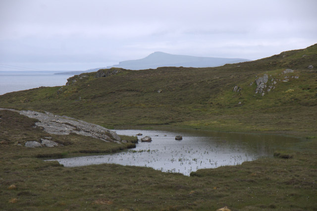
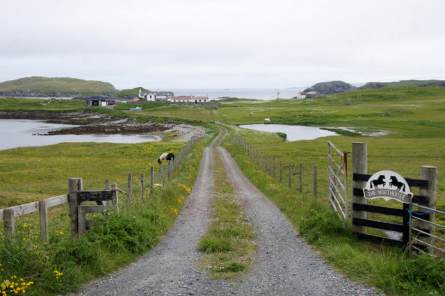
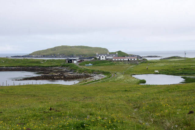
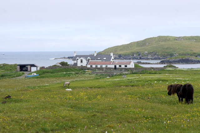
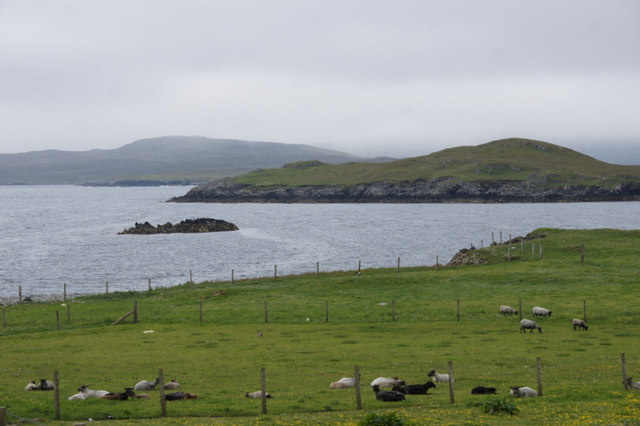
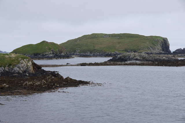
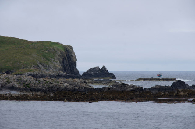
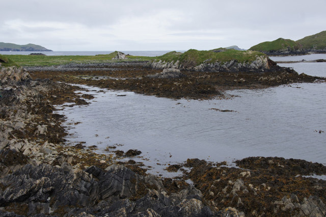
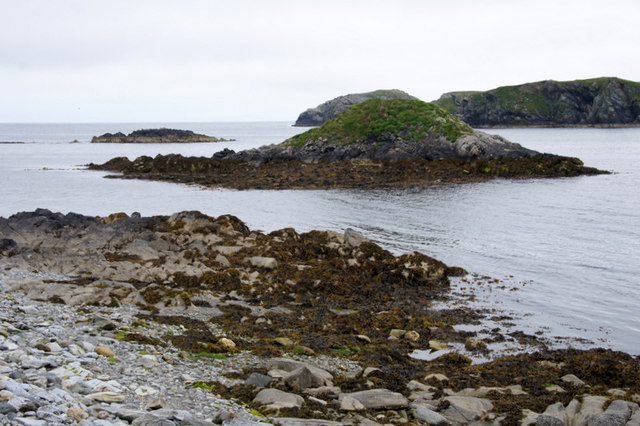
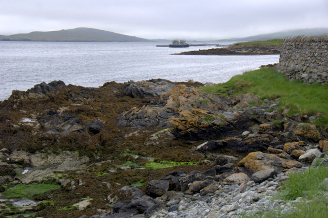
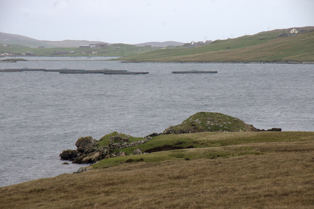
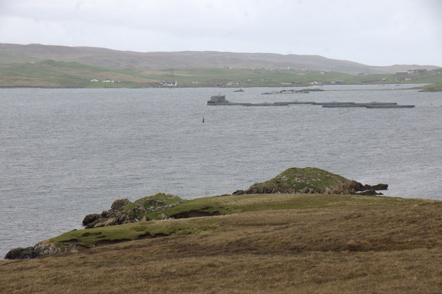
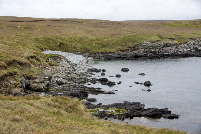
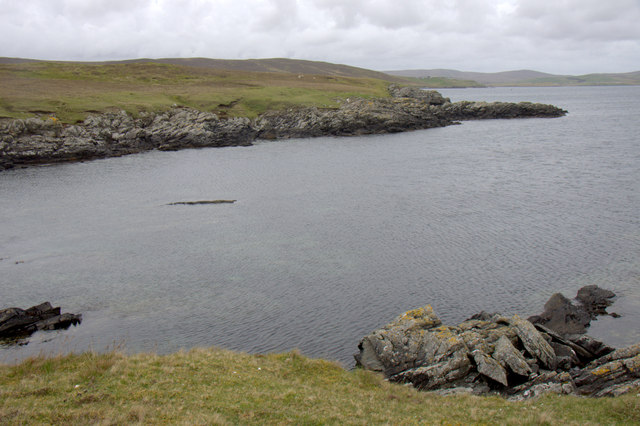
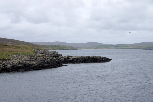
Taing of Railsbrough is a small coastal settlement located on the island of Shetland in Scotland. Situated on the west coast of the mainland, it lies approximately 8 miles northwest of the capital town of Lerwick. The area is known for its stunning natural beauty, with rugged cliffs and picturesque beaches overlooking the North Atlantic Ocean.

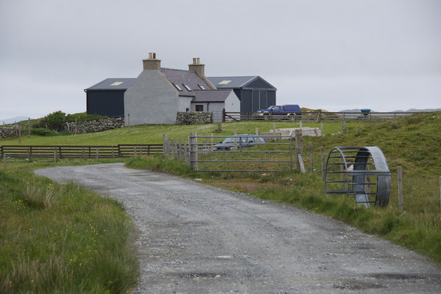
The village itself is home to a small population, mainly engaged in traditional industries such as fishing and agriculture. The community is tightly-knit, with a strong sense of local identity and pride in their Shetland heritage. Traditional Shetland dialect is still spoken by many residents, adding to the unique cultural atmosphere of the area.

Taing of Railsbrough is also a popular spot for tourists, who are drawn to its scenic coastal walks and birdwatching opportunities. The nearby Sumburgh Head, a prominent headland, is home to a seabird colony, including puffins, gannets, and kittiwakes, making it a haven for nature enthusiasts.

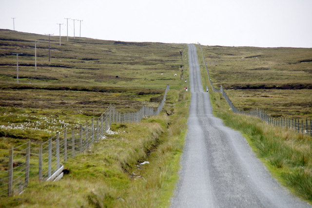
The village is well-connected to the rest of Shetland, with regular bus services and a nearby airport at Sumburgh, providing easy access for visitors. Local amenities include a small shop, a community hall, and a pub, where locals and visitors can socialize and enjoy the warm hospitality of the island.

Overall, Taing of Railsbrough offers a peaceful and picturesque retreat for those seeking a taste of traditional Shetland lifestyle and natural beauty. Its stunning coastal setting and friendly community make it a charming destination for both residents and visitors alike.

If you have any feedback on the listing, please let us know in the comments section below.

Taing of Railsbrough Images

Images are sourced within 2km of 60.239212/-1.1763511 or Grid Reference HU4550. Thanks to Geograph Open Source API. All images are credited.

Lochan on the road to Gletness, South Nesting In the distance is the isle of Noss.
Lochan on the road to Gletness, South Nesting
In the distance is the isle of Noss.
Track to Northouse, Gletness Surely one of the most picturesquely-located houses in Shetland.
Track to Northouse, Gletness
Surely one of the most picturesquely-located houses in Shetland.
Northouse, Gletness View down to the head of the North Voe of Gletness, with a voehead pool in the right. The house at Northouse is just in the next square. The North isle of Gletness is in the background.
Northouse, Gletness
View down to the head of the North Voe of Gletness, with a voehead pool in the right. The house at Northouse is just in the next square. The North isle of Gletness is in the background.
Pony at Gletness With Northouse in the background.
Pony at Gletness
With Northouse in the background.
Sheep at Gletness Looking across the South Voe of Gletness towards Ling Ness.
Sheep at Gletness
Looking across the South Voe of Gletness towards Ling Ness.
North Isle of Gletness Looking past Hawks Ness, Tainga Skerry and the lump of Stunger.
North Isle of Gletness
Looking past Hawks Ness, Tainga Skerry and the lump of Stunger.
Creel boat passing the North Isle of Gletness
Hawks Ness, Gletness
Peerie un-named holm, Gletness The South Isle of Gletness is in the background.
Peerie un-named holm, Gletness
The South Isle of Gletness is in the background.
Coast at Gletness
Coast at Gletness
Brunt Hamarsland House on a headland between Cat Firth and Wadbister Voe.
Brunt Hamarsland
House on a headland between Cat Firth and Wadbister Voe.
View to South Nesting from Brunt Hamarsland The plantation and shop near Loch of Freester can be seen on the right.
View to South Nesting from Brunt Hamarsland
The plantation and shop near Loch of Freester can be seen on the right.
The road to Brunt Hamarsland
Broch at the end of Wadbister Ness Although on a small holm nowadays, the broch was probably on the mainland in the Iron Age as sea levels were lower at that time. In the background are various settlements in South Nesting.
Broch at the end of Wadbister Ness
Although on a small holm nowadays, the broch was probably on the mainland in the Iron Age as sea levels were lower at that time. In the background are various settlements in South Nesting.
Broch at the end of Wadbister Ness Salmon farm and South Nesting in the background.
Broch at the end of Wadbister Ness
Salmon farm and South Nesting in the background.
Small beach at the end of Wadbister Ness
Mitten, Wadbister Ness Mitten appears to be the name of the headland.
Mitten, Wadbister Ness
Mitten appears to be the name of the headland.
Mitten, Wadbister Ness Apparently, this is the name of this headland.
Mitten, Wadbister Ness
Apparently, this is the name of this headland.
Show me another place!

Taing of Railsbrough is located at Grid Ref: HU4550 (Lat: 60.239212, Lng: -1.1763511)

Unitary Authority: Shetland Islands

Police Authority: Highlands and Islands

What 3 Words

///agenda.huddling.spoiled. Near Lerwick, Shetland Islands

Related Wikis

South Isle of Gletness

The South Isle of Gletness is an islet off Gletness, in Nesting in east central, Mainland, Shetland. It is 30m at its highest point. Amongst its features...

North Isle of Gletness

The North Isle of Gletness is one of the Shetland Islands. It is east of the Shetland Mainland, near Gletness in Nesting parish, and is so called in contradistinction...

Freester

Freester is a settlement on Mainland, Shetland, Scotland. It is in the parish of Nesting. == References == == External links == Canmore - Hard Knowe site...

RAF Catfirth

RAF Catfirth was a First World War seaplane base located on the island of Mainland in the Shetland Islands, Scotland. The base was under the control of...

Have you been to Taing of Railsbrough?

Leave your review of Taing of Railsbrough below (or comments, questions and feedback).