Black Skerry

Island in Shetland

Scotland

Black Skerry

Wadbister from the air
Wadbister from the air Credit: Mike Pennington

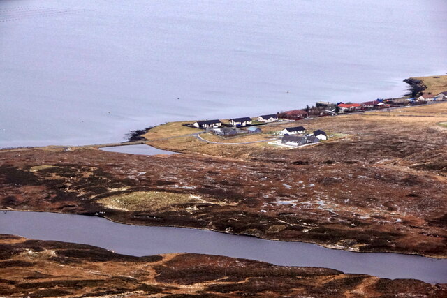
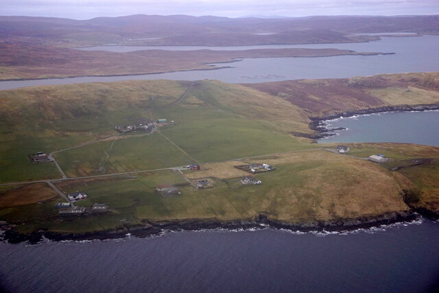
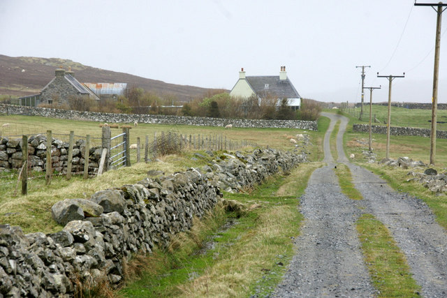
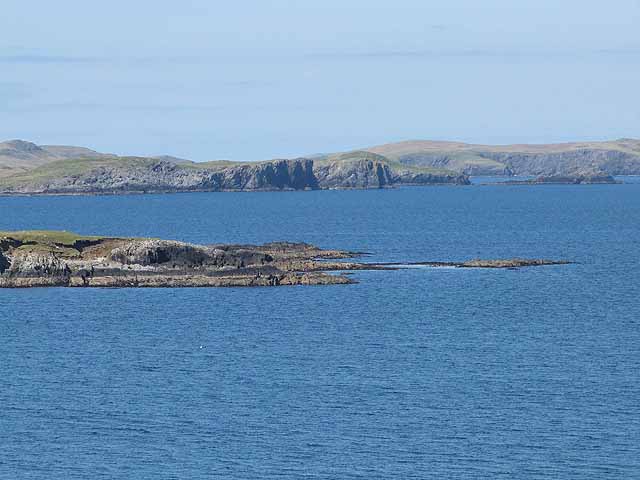
Black Skerry is a small uninhabited island located in the Shetland archipelago, situated off the northeastern coast of Scotland. It lies approximately 1.5 kilometers south of the larger island of Whalsay. The island is part of the Shetland Islands council area and falls within the North Isles ward.

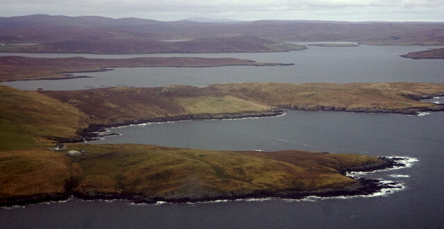
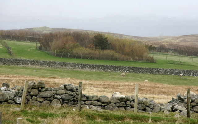
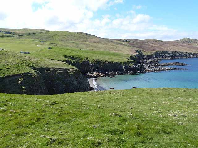
With a total area of only 8.9 hectares, Black Skerry is one of the smallest islands in the Shetland group. It is predominantly composed of rugged, rocky terrain, with no significant vegetation cover. The island's coastline is characterized by steep cliffs, providing nesting sites for a variety of seabirds, including guillemots, razorbills, and puffins.

Due to its remote location and lack of amenities, Black Skerry is not accessible to the public, making it a haven for wildlife and a protected area. The island is designated as a Site of Special Scientific Interest (SSSI) due to the importance of its seabird colonies and geological features.

Despite its small size, Black Skerry holds historical significance. In 1974, a hoard of Viking silver was discovered on the island, including coins and jewelry, dating back to the 9th or 10th century. This finding provides evidence of Viking activity and trade in the Shetland region during that period.

Overall, Black Skerry is a remarkable and protected island in the Shetland archipelago, known for its rugged beauty, wildlife, and historical significance.

If you have any feedback on the listing, please let us know in the comments section below.
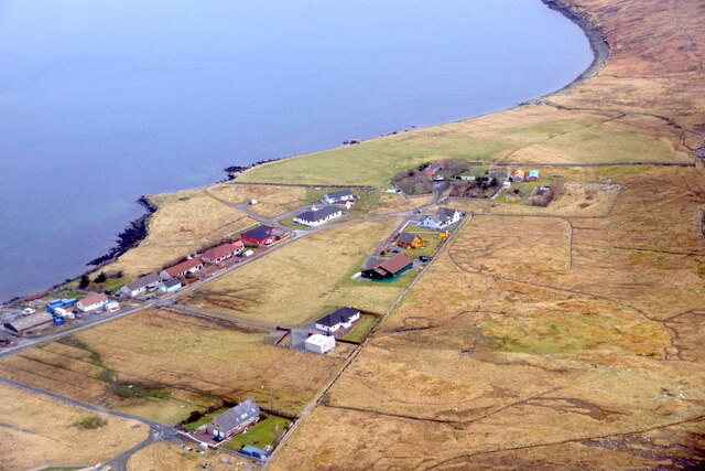
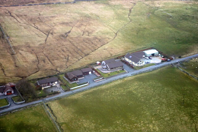
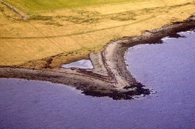
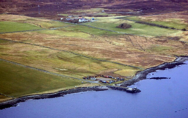
Black Skerry Images

Images are sourced within 2km of 60.213233/-1.2024638 or Grid Reference HU4447. Thanks to Geograph Open Source API. All images are credited.

Wadbister from the air
Loch of Vatster, Wadbister, from the air
Vatster quarry from the air
Laxfirth from the air
Wadbister from the air
Laxfirth from the air
Small headland, Lax Firth, from the air
Pier at Hamarsland, Lax Firth, from the air
Breiwick, Tingwall, from the air
Fora Ness and Foraness Voe from the air
Pier at Laxfirth
Pier at Laxfirth
Shoreline of Lax Firth Looking towards the aerogenerators on the Hill of Burradale.
Shoreline of Lax Firth
Looking towards the aerogenerators on the Hill of Burradale.
Plantation at North Hamarsland, Laxfirth
North Hamarsland, Laxfirth
North end of the Tingwall straight Looking north, the croft house at Vatster can be made out on the right.
North end of the Tingwall straight
Looking north, the croft house at Vatster can be made out on the right.
Commercial peat extraction at Black Loch In contrast with <a href="https://www.geograph.org.uk/photo/3481797">HU5664 : Peat cutting on Whalsay</a>.
Commercial peat extraction at Black Loch
Head of Foraness Voe The beach appears to be virtually inaccessible down the cliffs.
Head of Foraness Voe
The beach appears to be virtually inaccessible down the cliffs.
Brim Ness At the mouth of Foraness Voe. The cliffs of the Isles of Gletness beyond.
Brim Ness
At the mouth of Foraness Voe. The cliffs of the Isles of Gletness beyond.
Show me another place!

Black Skerry is located at Grid Ref: HU4447 (Lat: 60.213233, Lng: -1.2024638)

Unitary Authority: Shetland Islands

Police Authority: Highlands and Islands

What 3 Words

///pinches.disposal.buckling. Near Lerwick, Shetland Islands

Related Wikis

Breiwick

Breiwick is a village on the island of Mainland in Shetland, Scotland. Breiwick is in the parish of Tingwall, and is 1.6 mi (2.5 km) north-east of Gott...

Tingwall Airport

Tingwall Airport (IATA: LWK, ICAO: EGET), also known as Lerwick/Tingwall Airport, is located in the Tingwall valley, near the village of Gott, 4 NM (7...

South Isle of Gletness

The South Isle of Gletness is an islet off Gletness, in Nesting in east central, Mainland, Shetland. It is 30m at its highest point. Amongst its features...

Veensgarth

Veensgarth (Old Norse: Vikingsgarðr, Viking farm, or Vingarðr, Meadow Farm), is a village in the Tingwall valley west of Lerwick on Mainland in Shetland...

Nearby Amenities

Located within 500m of 60.213233,-1.2024638
Seamark Light Category: vertical
Seamark Light Character: F
Seamark Light Colour: green
Seamark Light Height: 4
Seamark Light Multiple: 2
Seamark Light Range: 2
Seamark Light Reference: A 3795.6
Seamark Type: light_minor
Source: US NGA Pub. 114. 2011-05-26.
Lat/Long: 60.2123465/-1.2028318
Power: pole
Lat/Long: 60.2126997/-1.2095766
Power: pole
Lat/Long: 60.2133646/-1.2108426
Power: pole
Lat/Long: 60.2121787/-1.2101158
Power: pole
Lat/Long: 60.2136498/-1.2096115
Power: pole
Lat/Long: 60.2147904/-1.208676
Power: pole
Lat/Long: 60.2153394/-1.2080538
Power: pole
Lat/Long: 60.2142468/-1.2092044
Power: pole
Lat/Long: 60.2164879/-1.2068414
Power: pole
Lat/Long: 60.215903/-1.2074664
Power: pole
Lat/Long: 60.2131296/-1.2104146
Power: pole
Lat/Long: 60.2136924/-1.2098008
Power: pole
Lat/Long: 60.2134297/-1.2083524
Power: pole
Lat/Long: 60.2132438/-1.2073199
Power: pole
Lat/Long: 60.2130648/-1.2063243
Power: pole
Lat/Long: 60.2128766/-1.2053033
Power: pole
Lat/Long: 60.2126849/-1.2042187
Power: pole
Lat/Long: 60.2115832/-1.2107698
The data included in this document is from www.openstreetmap.org. The data is made available under ODbL.

Have you been to Black Skerry?

Leave your review of Black Skerry below (or comments, questions and feedback).