Little Heath
Settlement in Staffordshire South Staffordshire
England
Little Heath

Little Heath is a small village located in the county of Staffordshire, England. Situated approximately 4 miles south of the town of Cannock, Little Heath is surrounded by picturesque countryside and offers a tranquil and peaceful atmosphere for its residents.
The village is characterized by its charming collection of traditional cottages and houses, many of which date back to the 19th century. The architecture reflects the area's rich history, and the village maintains a strong sense of heritage and community.
Little Heath benefits from its close proximity to Cannock Chase, an Area of Outstanding Natural Beauty. This provides residents with ample opportunities for outdoor activities such as hiking, cycling, and picnicking. The nearby Cannock Chase Forest also offers a variety of recreational facilities, including a Go Ape treetop adventure course and several walking trails.
Despite its rural setting, Little Heath is conveniently located near major transportation routes. The A460 road runs adjacent to the village, providing easy access to nearby towns and cities. Additionally, the village benefits from regular bus services, connecting it to the wider Staffordshire area.
Little Heath offers a range of amenities to cater to its residents' needs. These include a local pub, a primary school, and a village hall that hosts various community events and activities. For shopping and additional services, the nearby town of Cannock provides a wider range of options.
Overall, Little Heath offers a charming and idyllic setting, with its rich history, natural beauty, and strong sense of community making it an attractive place to live.
If you have any feedback on the listing, please let us know in the comments section below.
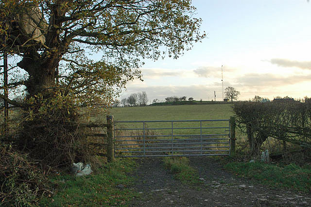
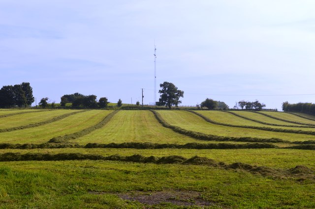
Little Heath Images
Images are sourced within 2km of 52.754998/-2.145915 or Grid Reference SJ9017. Thanks to Geograph Open Source API. All images are credited.


Little Heath is located at Grid Ref: SJ9017 (Lat: 52.754998, Lng: -2.145915)
Administrative County: Staffordshire
District: South Staffordshire
Police Authority: Staffordshire
What 3 Words
///taster.variously.delusions. Near Penkridge, Staffordshire
Nearby Locations
Related Wikis

Coppenhall
Coppenhall is a small settlement in Staffordshire, England. Coppenhall lies 2 kilometres (1 mi) southwest of Stafford and 4 miles (6.4 km) NNW of Penkridge...

Levedale
Levedale is a small somewhat elongated English village situated some 4 miles southwest of Stafford, 2 miles northwest of Penkridge and a mile west of Dunston...

St Lawrence's Church, Coppenhall
St Lawrence's Church, Coppenhall is a Grade II* listed parish church in the Church of England in Coppenhall, Staffordshire. == History == The small ancient...

Bradley, Staffordshire
Bradley is a village and civil parish in Staffordshire, England. The population of the civil parish at the 2011 census was 513. It is located close to...
Nearby Amenities
Located within 500m of 52.754998,-2.145915Have you been to Little Heath?
Leave your review of Little Heath below (or comments, questions and feedback).