Little Hautbois

Settlement in Norfolk Broadland

England

Little Hautbois

Church of St Andrew, Lamas <span class="nowrap"><a title="https://historicengland.org.uk/listing/the-list/list-entry/1372945?section=official-list-entry" rel="nofollow ugc noopener" href="https://historicengland.org.uk/listing/the-list/list-entry/1372945?section=official-list-entry">Link</a><img style="margin-left:2px;" alt="External link" title="External link - shift click to open in new window" src="https://s1.geograph.org.uk/img/external.png" width="10" height="10"/></span>
Church of St Andrew, Lamas Credit: Sandy Gerrard

The requested URL returned error: 429 Too Many Requests

If you have any feedback on the listing, please let us know in the comments section below.

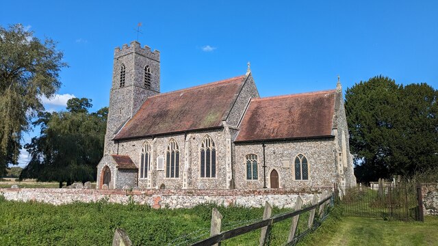
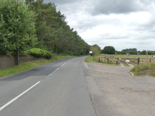
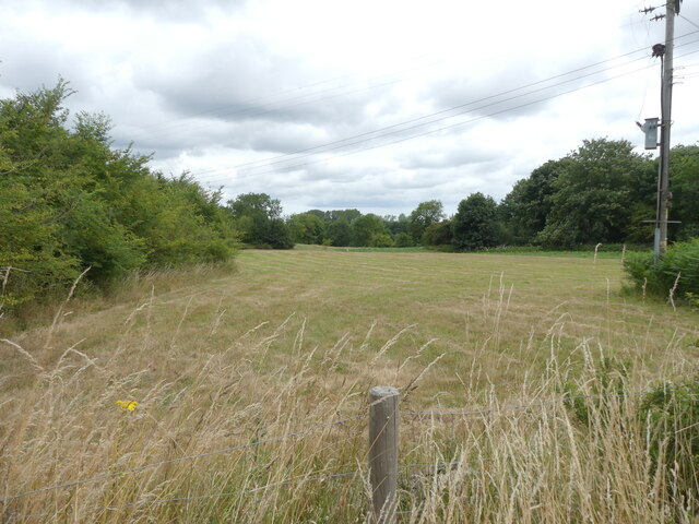
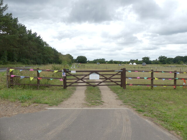
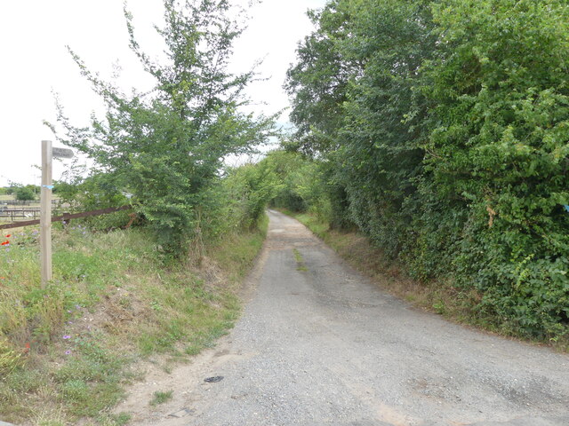
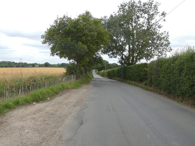
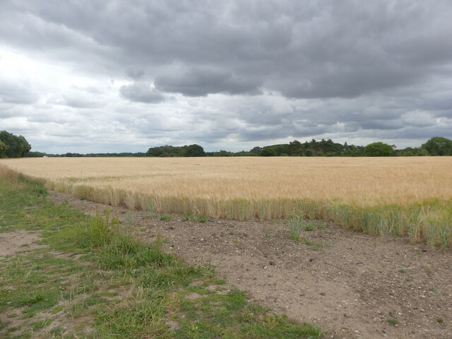
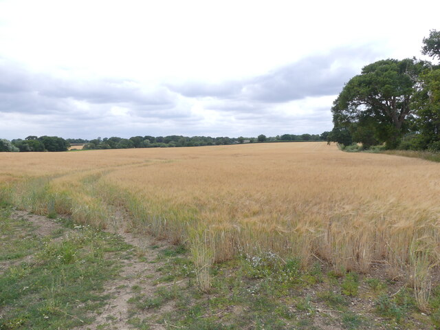
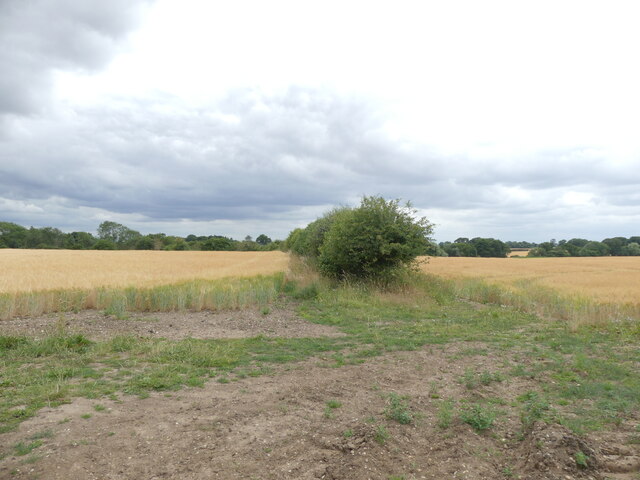
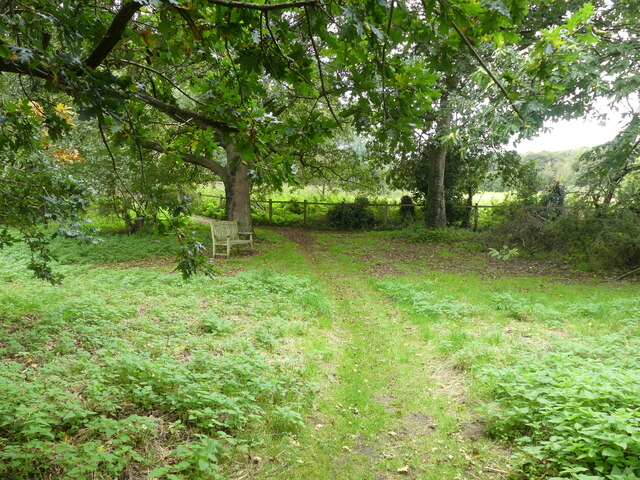
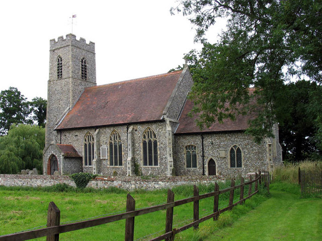
Little Hautbois Images

Images are sourced within 2km of 52.746736/1.338906 or Grid Reference TG2521. Thanks to Geograph Open Source API. All images are credited.

Church of St Andrew, Lamas <span class="nowrap"><a title="https://historicengland.org.uk/listing/the-list/list-entry/1372945?section=official-list-entry" rel="nofollow ugc noopener" href="https://historicengland.org.uk/listing/the-list/list-entry/1372945?section=official-list-entry">Link</a><img style="margin-left:2px;" alt="External link" title="External link - shift click to open in new window" src="https://s1.geograph.org.uk/img/external.png" width="10" height="10"/></span>
Church of St Andrew, Lamas
Former Friends Meeting House, Lamas <span class="nowrap"><a title="https://historicengland.org.uk/listing/the-list/list-entry/1050944?section=official-list-entry" rel="nofollow ugc noopener" href="https://historicengland.org.uk/listing/the-list/list-entry/1050944?section=official-list-entry">Link</a><img style="margin-left:2px;" alt="External link" title="External link - shift click to open in new window" src="https://s1.geograph.org.uk/img/external.png" width="10" height="10"/></span>
Former Friends Meeting House, Lamas
West on B1354
West on B1354
B1354 to Coltishall
B1354 to Coltishall
Cut meadow
Cut meadow
Entrance to Two Jays farm
Public Bridleway and sign
Old Church Road
Old Church Road
Barley crop
Barley crop
Field of Barley
Field of Barley
Hedge dividing two fields of barley
Footpath at the rear of All Saints' Church
Conservation area
Conservation area
Southerly view from footpath
Looking east on footpath Nobody about so don't know if tent is occupied
Looking east on footpath
Nobody about so don't know if tent is occupied
Conservation area
Conservation area
Bench in Conservation area
Entering Horstead on B1354 Buxton Road <span class="nowrap"><a title="https://en.wikipedia.org/wiki/Horstead_with_Stanninghall" rel="nofollow ugc noopener" href="https://en.wikipedia.org/wiki/Horstead_with_Stanninghall">Link</a><img style="margin-left:2px;" alt="External link" title="External link - shift click to open in new window" src="https://s1.geograph.org.uk/img/external.png" width="10" height="10"/></span>
Entering Horstead on B1354 Buxton Road
Show me another place!

Little Hautbois is located at Grid Ref: TG2521 (Lat: 52.746736, Lng: 1.338906)

Administrative County: Norfolk

District: Broadland

Police Authority: Norfolk

What 3 Words

///speeded.growth.awaited. Near Buxton, Norfolk

Related Wikis

Little Hautbois

Little Hautbois is a small hamlet in Broadland, England, part of the parish of Lamas. The name is pronounced 'Hobbis', and can be seen thus spelled on...

Lamas, Norfolk

Lamas (also spelled Lammas) is a village in Broadland, Norfolk, England. Administratively it falls within the civil parish of Buxton with Lamas. The village...

Horstead Hall

Horstead Hall was a country house in Norfolk that was demolished in the 1950s. The village of Horstead in the county of Norfolk is not short of country...

Swift Aircraft

Swift Aircraft Limited is a British aerospace manufacturer that designs the Swift II aerobatic training aircraft. == Swift II == The Swift II is a side...

Nearby Amenities

Located within 500m of 52.746736,1.338906
Barrier: cycle_barrier
Lat/Long: 52.7431856/1.3403027
Barrier: cycle_barrier
Lat/Long: 52.7454299/1.3333925
Post Box
Collection Times: Mo-Fr 15:30; Sa 08:00
Post Box Mounting: telegraph_pole
Post Box Type: lamp
Ref: NR12 1234
Royal Cypher: EIIR
Royal Cypher Wikidata: Q33102113
Lat/Long: 52.7476633/1.3368814
Little Hautbois
Place: hamlet
Wikidata: Q6650271
Lat/Long: 52.7472689/1.337943
Parking
Lat/Long: 52.7454733/1.3333569
Give Way
Lat/Long: 52.7468652/1.3358174
Parking
Capacity: 2
Fee: no
Parking: layby
Lat/Long: 52.7466526/1.3365743
Waste Basket
Waste: trash
Lat/Long: 52.7467512/1.3364127
Grit Bin
Colour: yellow
Lat/Long: 52.7467187/1.3364086
The data included in this document is from www.openstreetmap.org. The data is made available under ODbL.

Have you been to Little Hautbois?

Leave your review of Little Hautbois below (or comments, questions and feedback).