Limpet Rocks
Island in Northumberland
England
Limpet Rocks
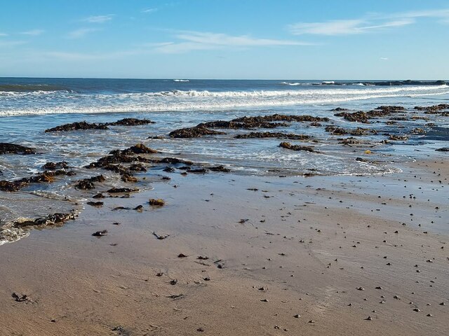
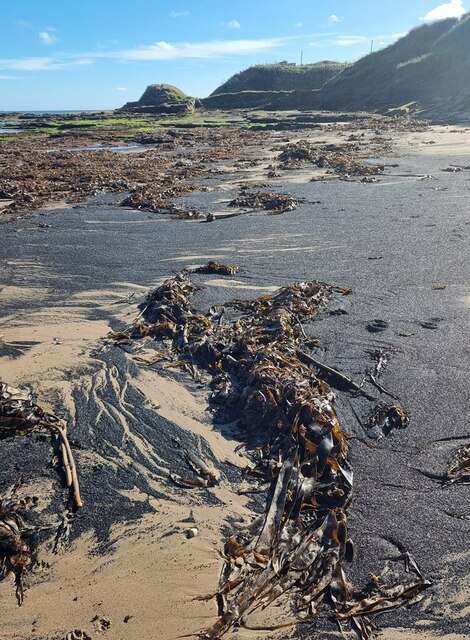
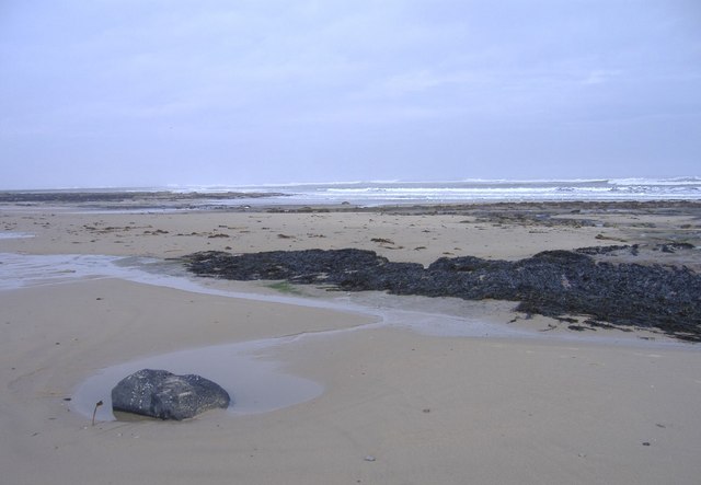
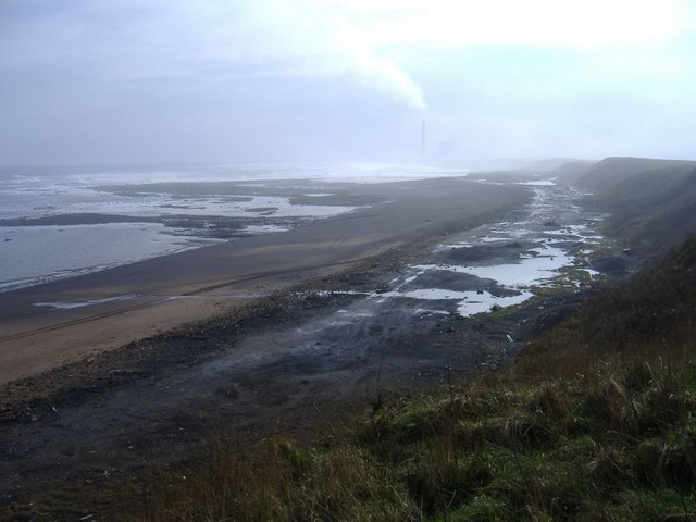
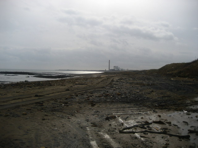
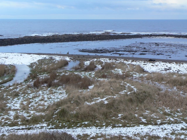
Limpet Rocks is a small island located off the coast of Northumberland, England. Situated in the North Sea, it is known for its stunning natural beauty and rich wildlife. The island is accessible only by boat, adding to its secluded and tranquil atmosphere.
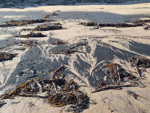
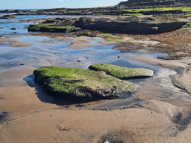
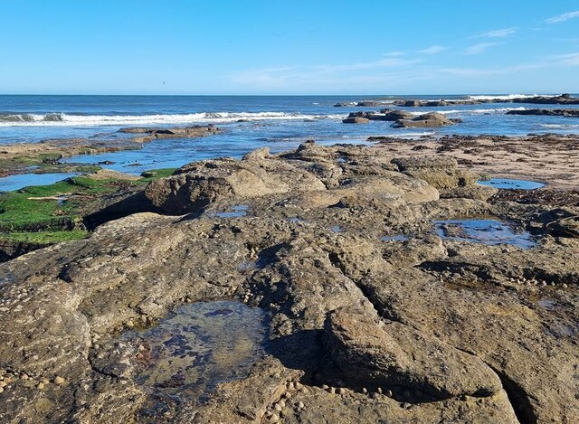
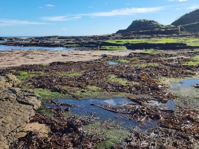
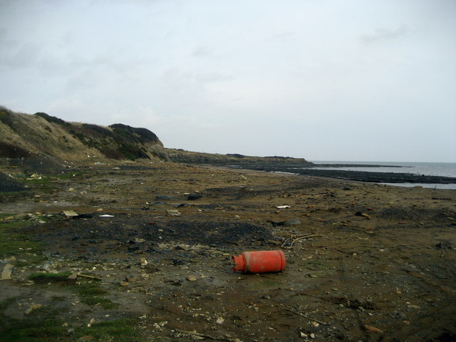
The island gets its name from the abundance of limpets, a type of marine snail, that cling to its rocky shores. These rocks are a distinctive feature of the island, creating a rugged coastline that is a haven for marine life. The surrounding waters are teeming with various species of fish, making it a popular spot for fishing enthusiasts.
Limpet Rocks is also home to a wide variety of bird species, including puffins, guillemots, and razorbills. These birds nest on the cliffs and provide a spectacular sight during the breeding season. The island is a designated nature reserve, ensuring the protection of its diverse ecosystem.
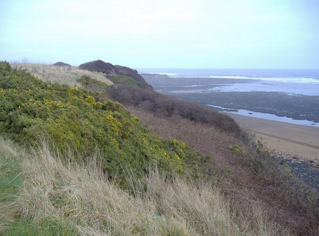
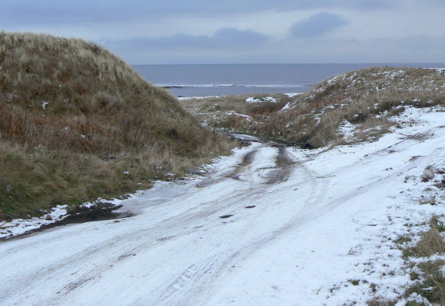
In addition to its natural wonders, Limpet Rocks offers opportunities for outdoor activities such as hiking and wildlife watching. The island has a network of trails that provide panoramic views of the surrounding area, including the Northumberland coastline and the Farne Islands.
Visitors to Limpet Rocks can enjoy the peace and tranquility of the island's unspoiled landscapes, as well as the chance to observe a wide array of wildlife in their natural habitat. Whether it's exploring the rocky shores, birdwatching, or simply enjoying the serenity of the island, Limpet Rocks offers a truly unique and memorable experience for nature lovers.
If you have any feedback on the listing, please let us know in the comments section below.
Limpet Rocks Images
Images are sourced within 2km of 55.236489/-1.5339635 or Grid Reference NZ2993. Thanks to Geograph Open Source API. All images are credited.


Limpet Rocks is located at Grid Ref: NZ2993 (Lat: 55.236489, Lng: -1.5339635)
Unitary Authority: Northumberland
Police Authority: Northumbria
What 3 Words
///alarm.highbrow.channel. Near Cresswell, Northumberland
Nearby Locations
Related Wikis

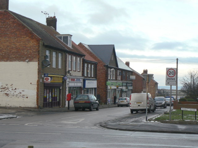
Cresswell, Northumberland
Cresswell is a village in Northumberland, England. It is about 4 miles (6 km) to the north of Ashington, on the North Sea coast. == History == The place...
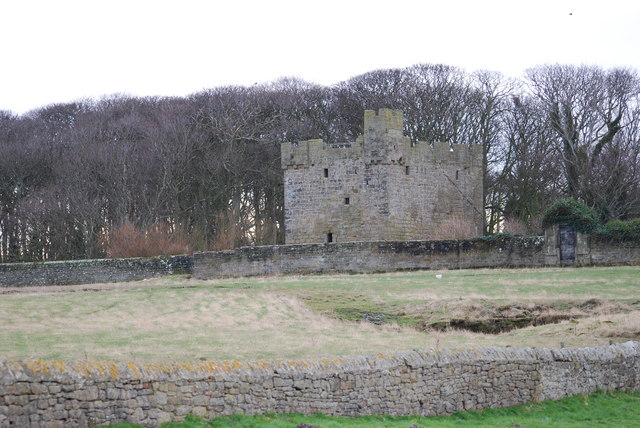
Cresswell Castle, Northumberland
Cresswell Pele Tower is in the village of Cresswell, situated overlooking the coast approximately 4 miles (6 km) to the north of Ashington, Northumberland...
Cresswell radar station
Cresswell radar station (also known as RAF Cresswell), was a Chain Home Low (later a Chain Home Extra Low) Second World War radar site at Cresswell, in...
Lynemouth
Lynemouth is a village in Northumberland, England, 3 miles (5 km) northeast of Ashington, close to the village of Ellington to the north west. It was built...

Ellington, Northumberland
Ellington is a small village in the civil parish of Ellington and Linton, on the coast of Northumberland, England. Ellington is 4 miles (6 km) from Ashington...

Ellington Colliery
Ellington Colliery (also known as The Big E), was a coal mine situated to the south of the village of Ellington in Northumberland, England. The colliery...

A1068 road
The A1068 is a road in northern England that runs from Seaton Burn in North Tyneside to Alnwick in Northumberland. The section between Ellington and Alnmouth...

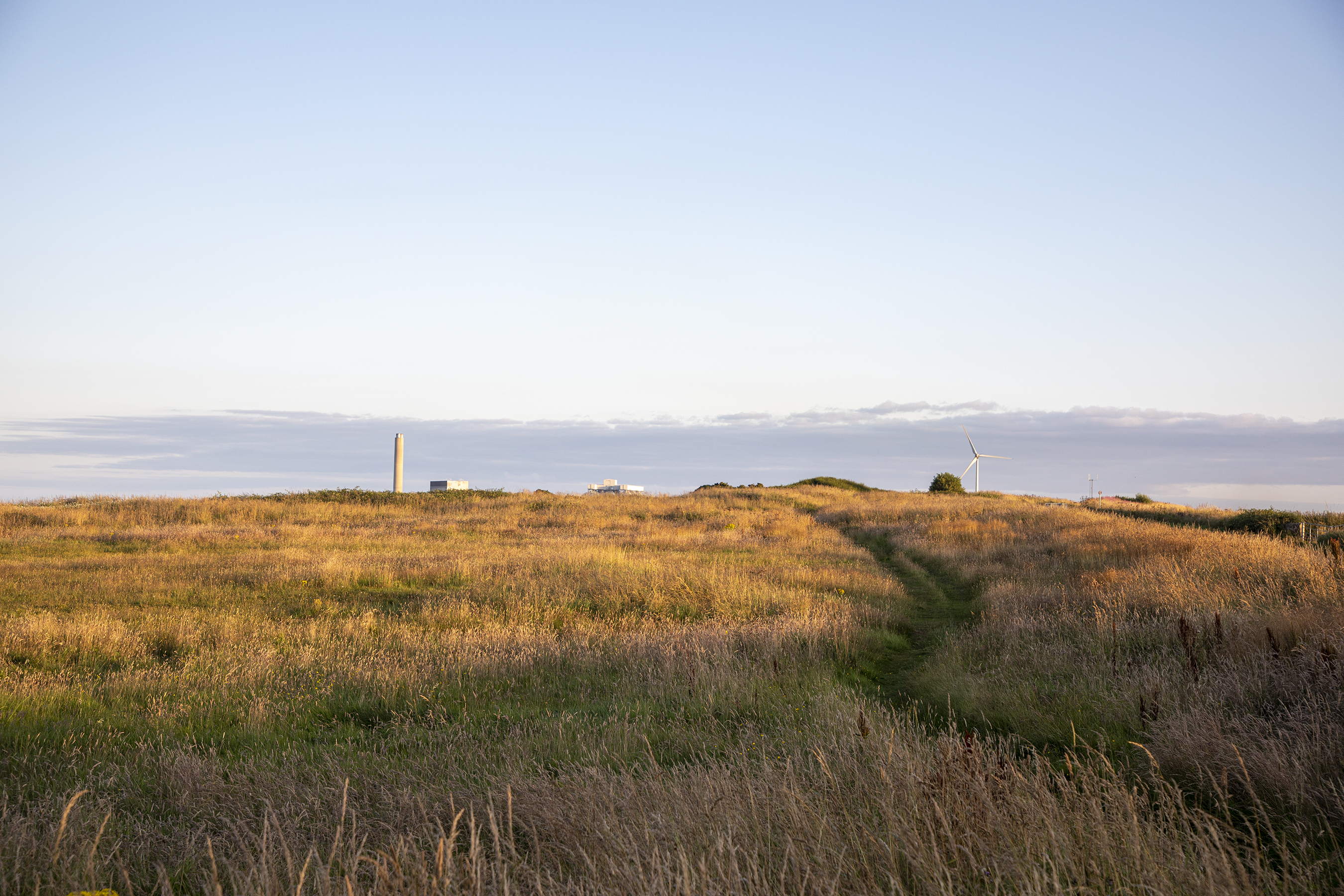
Lynemouth power station
Lynemouth Power Station is a biomass power plant which provides electricity for the UK National Grid. Until March 2012, it was the main source of electricity...
Nearby Amenities
Located within 500m of 55.236489,-1.5339635Have you been to Limpet Rocks?
Leave your review of Limpet Rocks below (or comments, questions and feedback).