Bewick Stone
Island in Northumberland
England
Bewick Stone

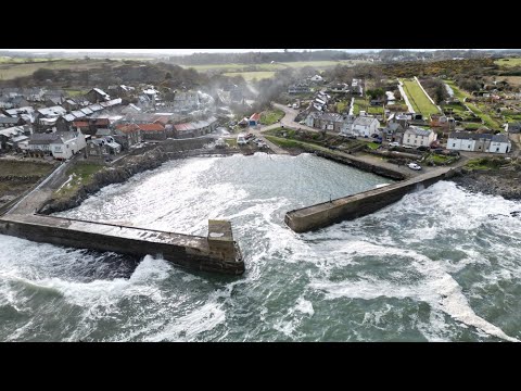
Bewick Stone, located in Northumberland, England, is a small island situated about 2 kilometers off the Northumberland coast in the North Sea. The island is named after Thomas Bewick, a renowned British wood engraver and naturalist.
With an area of approximately 1.5 hectares, Bewick Stone is a rugged and rocky outcrop, boasting impressive cliffs that rise up to 30 meters above sea level. It is primarily composed of sandstone and shale, showcasing unique geological formations that have been shaped by thousands of years of erosion and weathering.
The island is a designated Site of Special Scientific Interest (SSSI) due to its rich biodiversity. It is home to a variety of seabird species, including puffins, razorbills, and guillemots, which nest on the cliffs during the breeding season. The surrounding waters are also known for their diverse marine life, attracting seals, dolphins, and porpoises.
Accessible only by boat, visitors can admire the island's natural beauty from the water or land on its small beach during low tide. However, due to the sensitive ecosystem, access to the island is restricted during the breeding season to protect the nesting seabirds.
Bewick Stone offers a unique opportunity for nature enthusiasts to observe and appreciate the delicate balance of coastal ecosystems. Its remote location and unspoiled surroundings make it a popular destination for birdwatching, photography, and nature walks.
If you have any feedback on the listing, please let us know in the comments section below.
Bewick Stone Images
Images are sourced within 2km of 55.42229/-1.5765846 or Grid Reference NU2614. Thanks to Geograph Open Source API. All images are credited.


Bewick Stone is located at Grid Ref: NU2614 (Lat: 55.42229, Lng: -1.5765846)
Unitary Authority: Northumberland
Police Authority: Northumbria
What 3 Words
///bootleg.budgeted.saying. Near Longhoughton, Northumberland
Nearby Locations
Related Wikis

Boulmer
Boulmer is a village in Northumberland, England, on the North Sea coast east of Alnwick. It is home to RAF Boulmer. Boulmer has an independent volunteer...
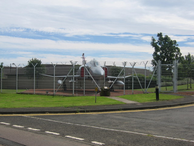
RAF Boulmer
Royal Air Force Boulmer or more simply RAF Boulmer is a Royal Air Force station near Alnwick in Northumberland, England, and is home to Aerospace Surveillance...
Longhoughton
Longhoughton is a small rural village in Northumberland, England. It lies near the coast, about 4.5 miles (7.2 km) northeast of Alnwick, in the similarly...
Longhoughton railway station
Longhoughton railway station served the village of Longhoughton, Northumberland, England from 1847 to 1963 on the East Coast Main Line. == History == The...
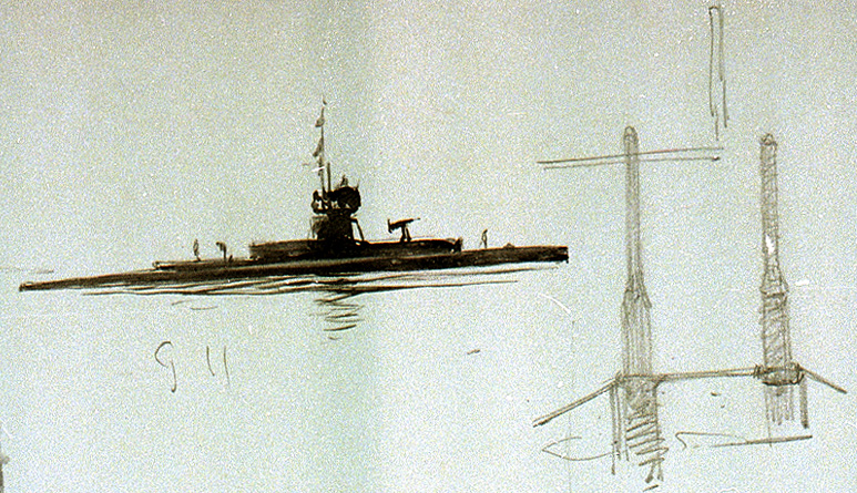
HMS G11
HMS G11 was a G-class submarine of the Royal Navy in service during the First World War. One of six of her class built by Vickers at Barrow in Furness...
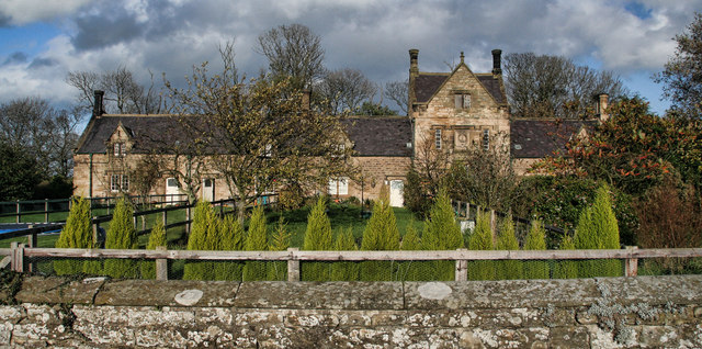
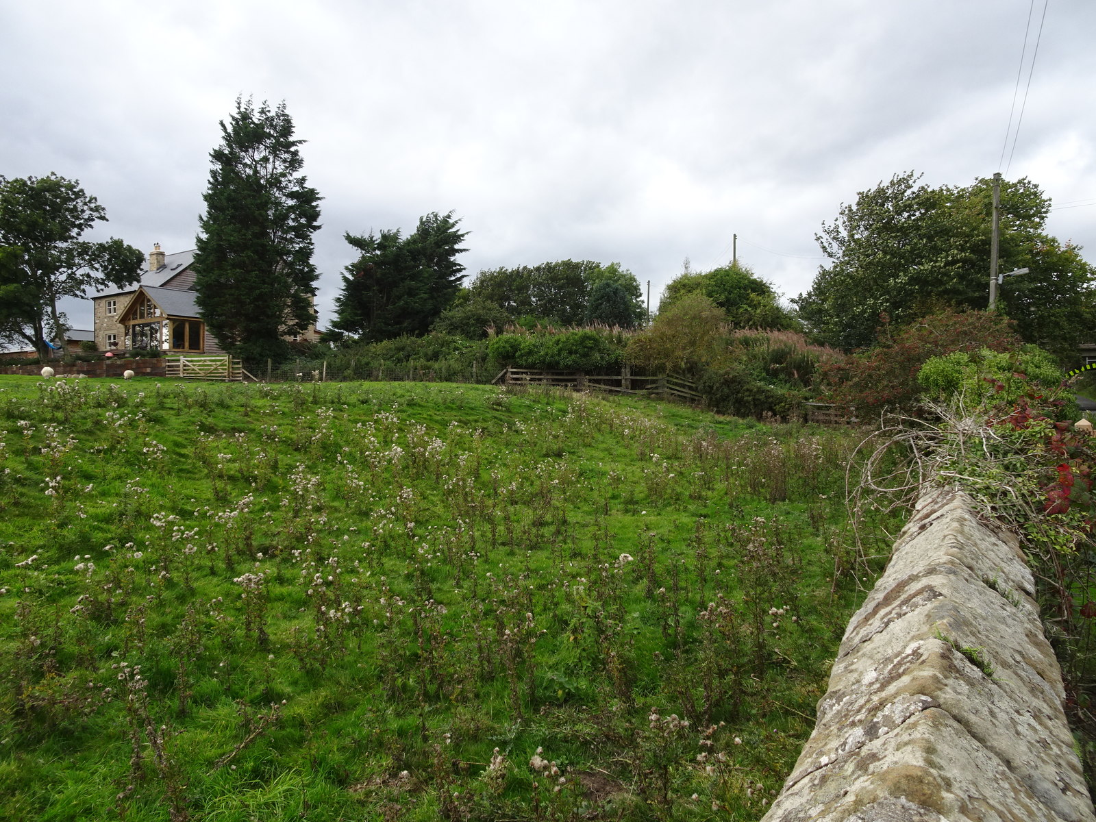
Howick, Northumberland
Howick ( HOH-ik) is a village and former civil parish, now in the parish of Longhoughton, in Northumberland, England, between Boulmer and Craster. It is...
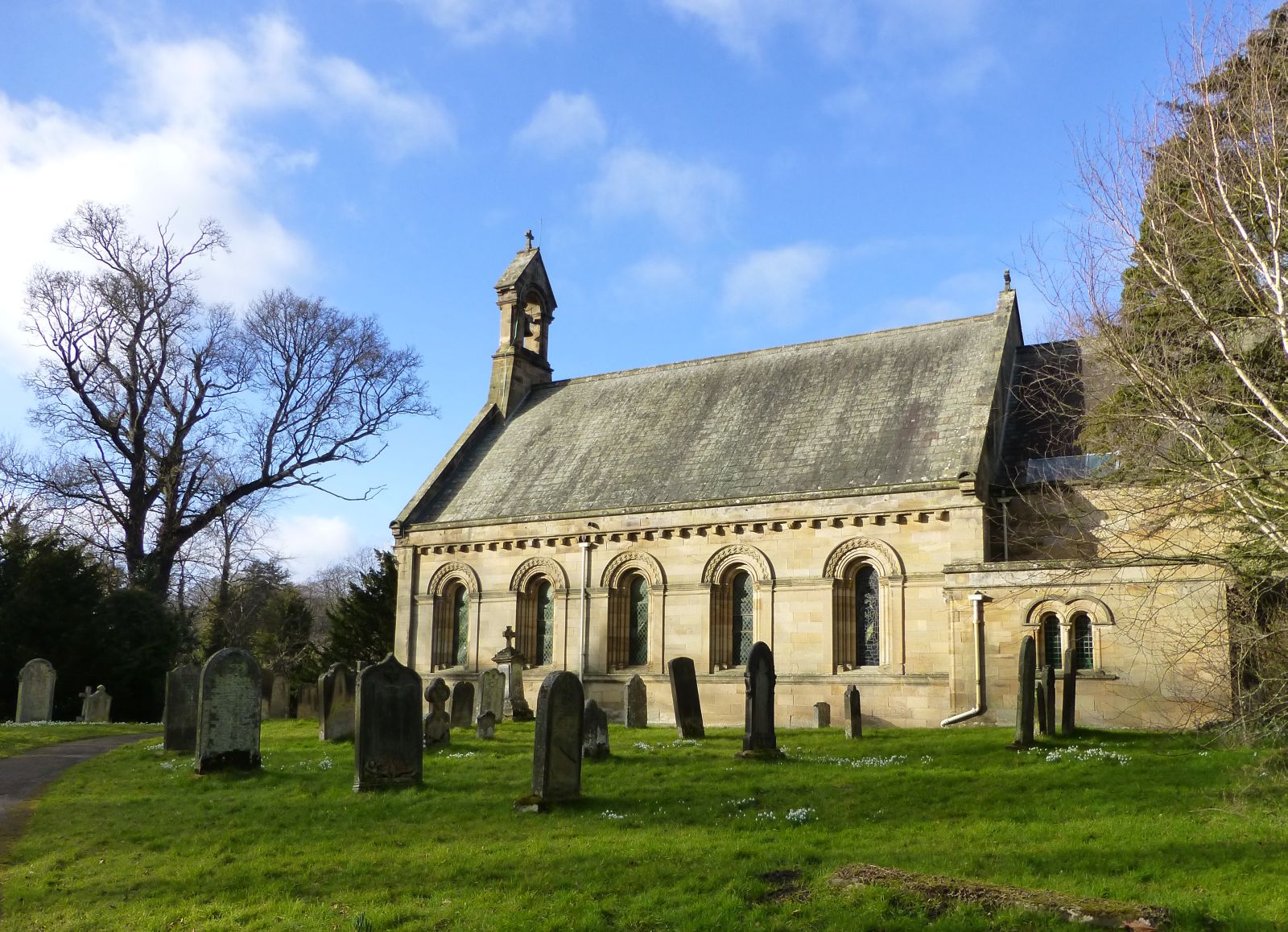
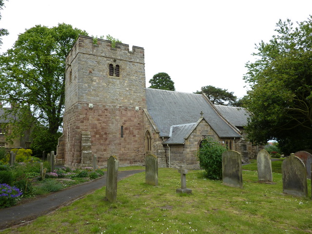
St Michael and All Angels Church (Howick, Northumberland)
St Michael and All Angels Church is a Church of England parish church located within the grounds of the gardens of Howick Hall in the village of Howick...
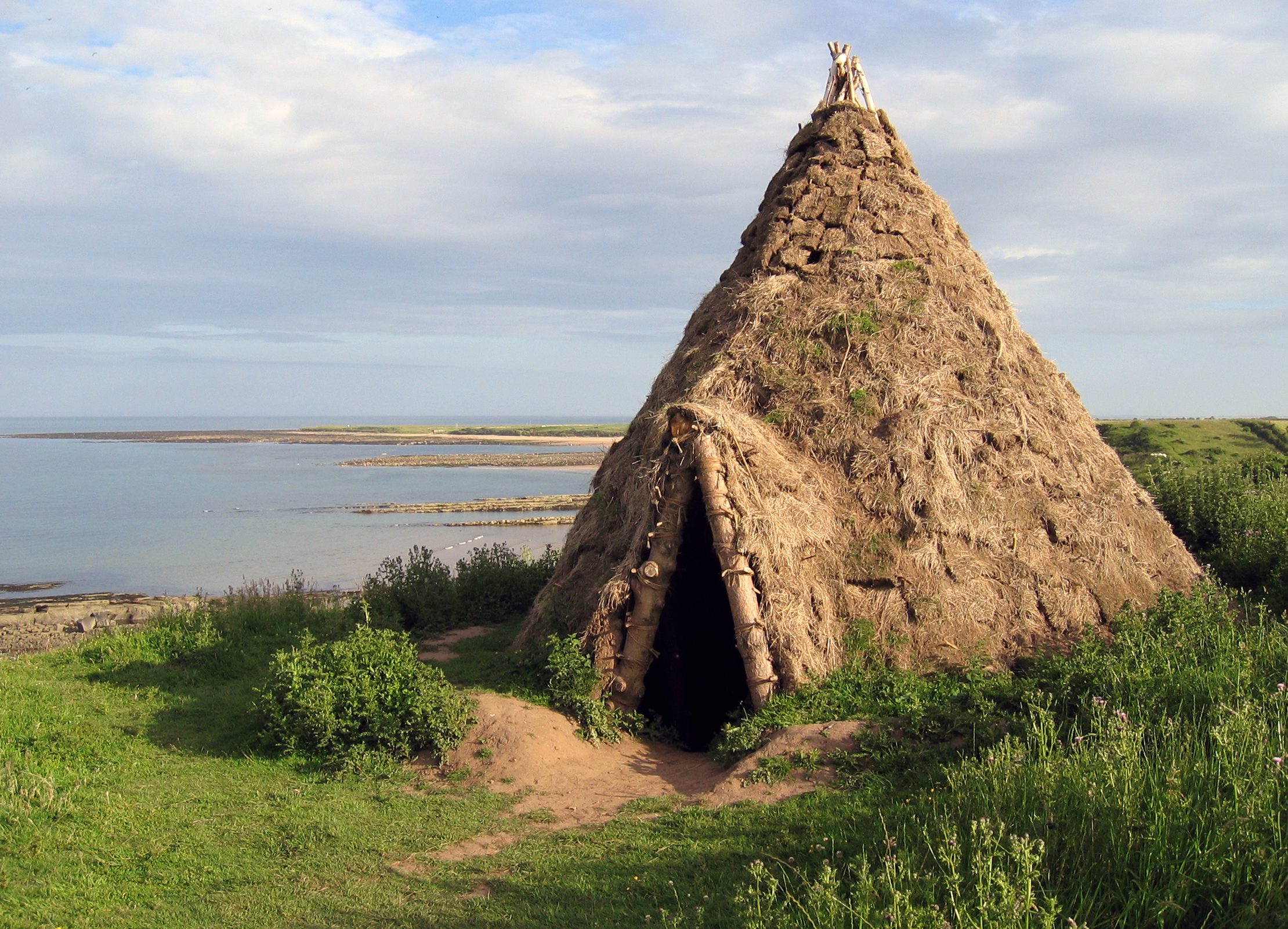
Howick house
The Howick house is a Mesolithic site located in Northumberland, England. It was found when an amateur archaeologist noticed flint tools eroding out of...
Related Videos
Shoreline Sensory Heaven _ Northumbria Trip August 2021
BoulmerBeach #Howick Just had a 2 day mini break in Northumbria which started off with a visit to ... Historic town of Barnard ...
Bulletin 14
News on the latest release plus some interesting additions.

Mavic Pro & Phantom 4 Pro + v2
Flying my Drones near Sugar Sands, Longhoughton.

Boulmer beach, Alnwick, UK
Deserted Beach... Well it is cold.
Nearby Amenities
Located within 500m of 55.42229,-1.5765846Have you been to Bewick Stone?
Leave your review of Bewick Stone below (or comments, questions and feedback).