Birling Carrs
Island in Northumberland
England
Birling Carrs
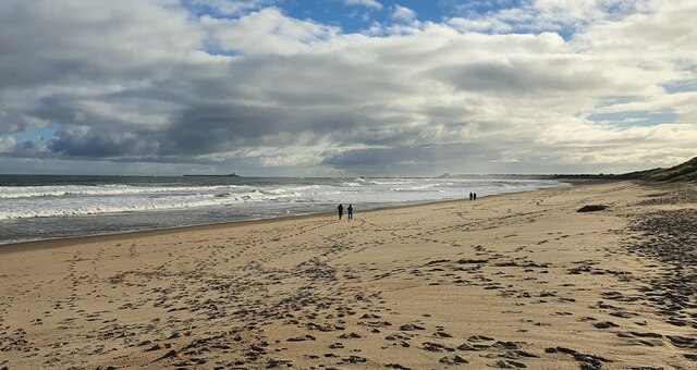
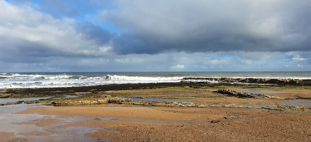
Birling Carrs is a small island located off the coast of Northumberland, England. Situated in the North Sea, it is part of the Farne Islands group, which consists of around 20 islands and islets. Birling Carrs is one of the smaller islands within this group, measuring approximately 1.5 acres in size.
The island is known for its rugged and rocky terrain, with steep cliffs rising from the sea. It is largely uninhabited, with no permanent human population. However, it is home to a variety of wildlife, making it an important nature reserve and a popular destination for birdwatchers and nature enthusiasts.
Birling Carrs is particularly renowned for its diverse bird population. Thousands of seabirds, including puffins, guillemots, and razorbills, flock to the island during the breeding season. The surrounding waters are also frequented by seals, with both grey seals and common seals often seen basking on the rocks or swimming in the sea.
Due to its remote location, accessing Birling Carrs can be challenging. Visitors typically reach the island by boat, with organized tours and excursions available from nearby coastal towns such as Seahouses.
The island offers stunning coastal views and the opportunity to observe wildlife in its natural habitat. However, visitors should be mindful of the fragile ecosystem and follow guidelines to ensure the preservation of the island and its inhabitants.
If you have any feedback on the listing, please let us know in the comments section below.
Birling Carrs Images
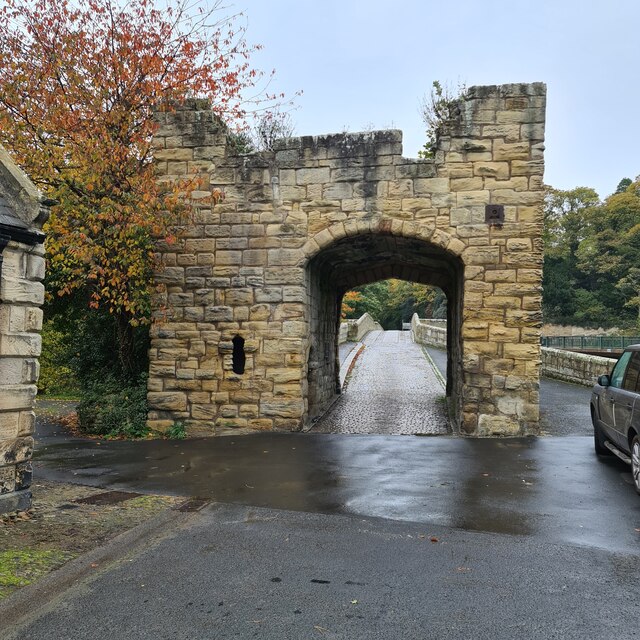
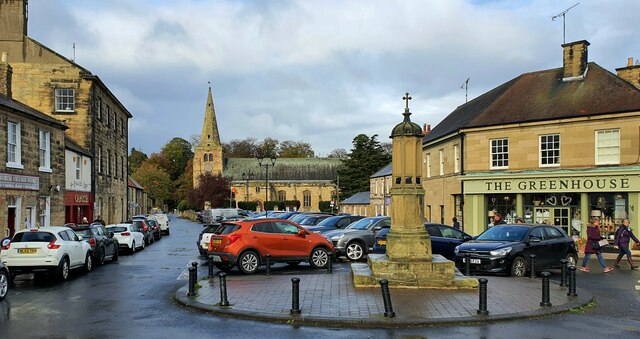
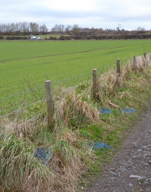
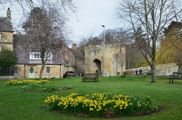
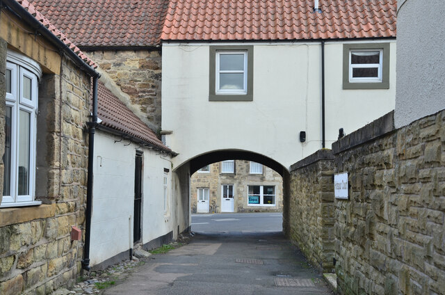
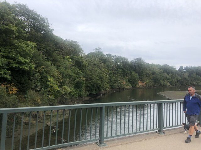
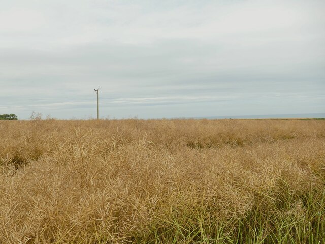
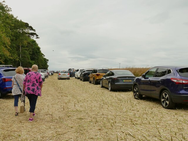
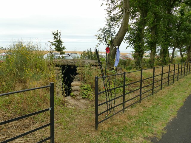
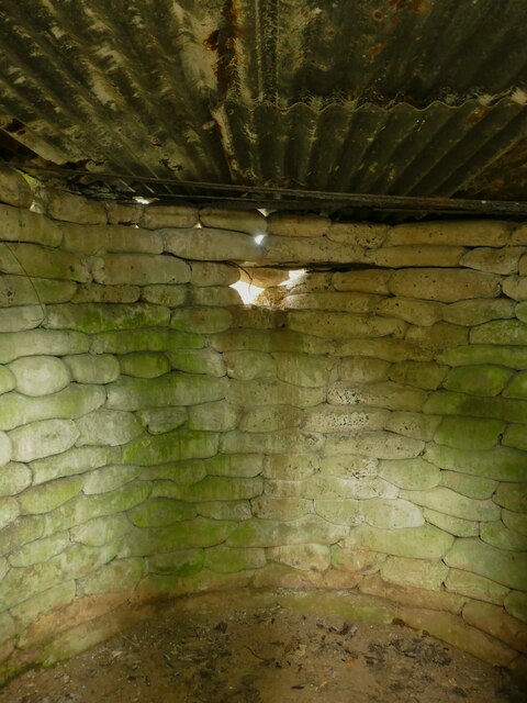
Images are sourced within 2km of 55.363845/-1.5999723 or Grid Reference NU2507. Thanks to Geograph Open Source API. All images are credited.


Birling Carrs is located at Grid Ref: NU2507 (Lat: 55.363845, Lng: -1.5999723)
Unitary Authority: Northumberland
Police Authority: Northumbria
What 3 Words
///padding.shuffles.wicket. Near Warkworth, Northumberland
Nearby Locations
Related Wikis

SS Ina Mactavish
SS Ina Mactavish was a small coaster that was wrecked in 1907 with the loss of two lives. == History == Ina Mactavish was built by Burrell & Son of Glasgow...
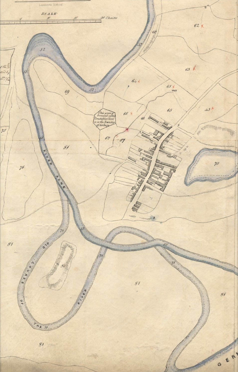
Birling, Northumberland
Birling is a small settlement and former civil parish, now in the parish of Warkworth, in the county of Northumberland, England. It is situated immediately...
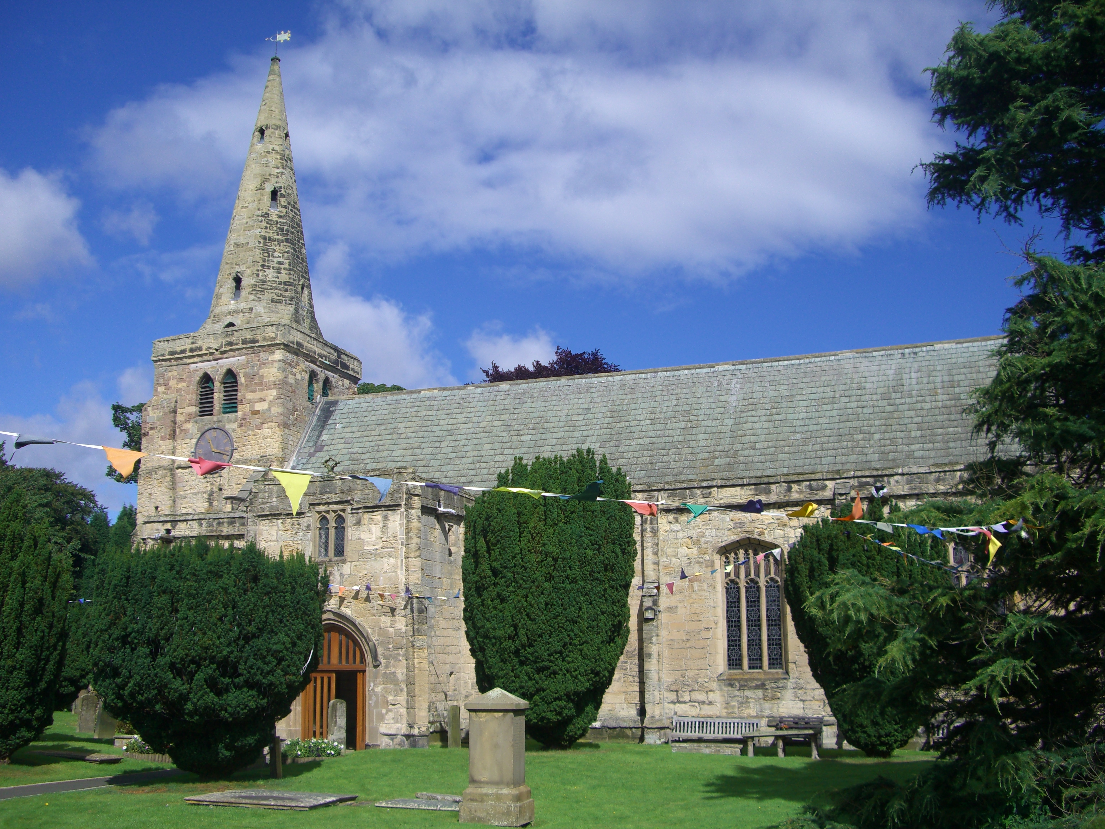
Church of St Lawrence, Warkworth
The Church of St Lawrence is situated in the village of Warkworth in Northumberland. It is a grade I listed building within the Diocese of Newcastle and...
Alnmouth Saltmarsh and Dunes
Alnmouth Saltmarsh and Dunes is a Site of Special Scientific Interest (SSSI) in Northumberland, England. It is the largest saltflat on the north-east coast...
Nearby Amenities
Located within 500m of 55.363845,-1.5999723Have you been to Birling Carrs?
Leave your review of Birling Carrs below (or comments, questions and feedback).