Big Harcar
Island in Northumberland
England
Big Harcar
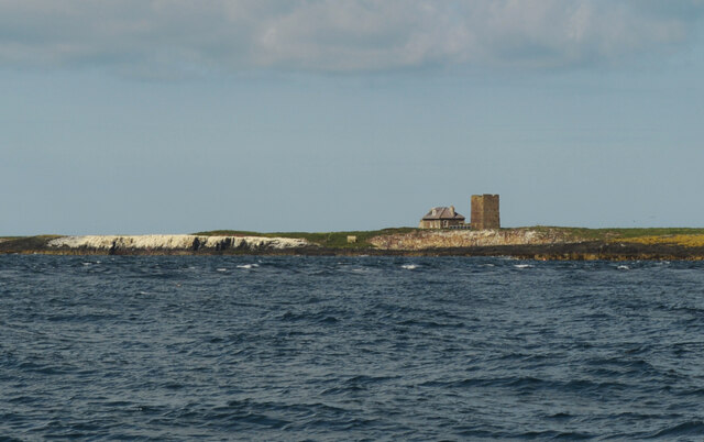
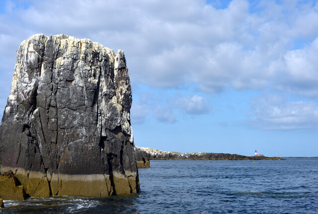
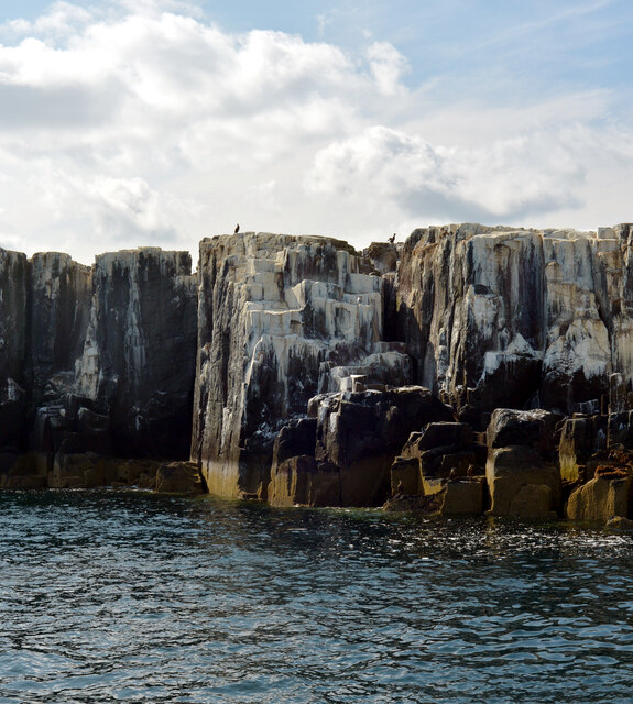
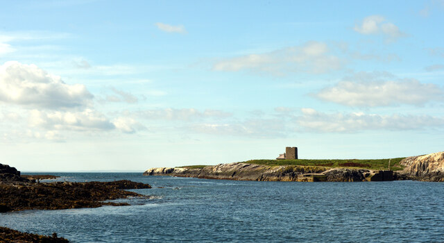
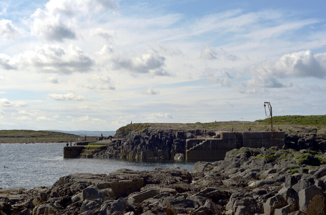
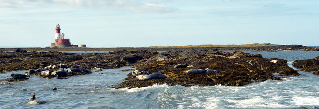
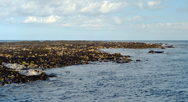
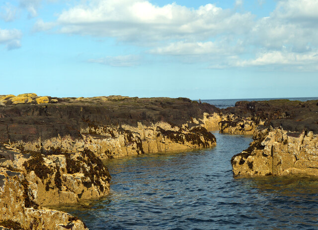
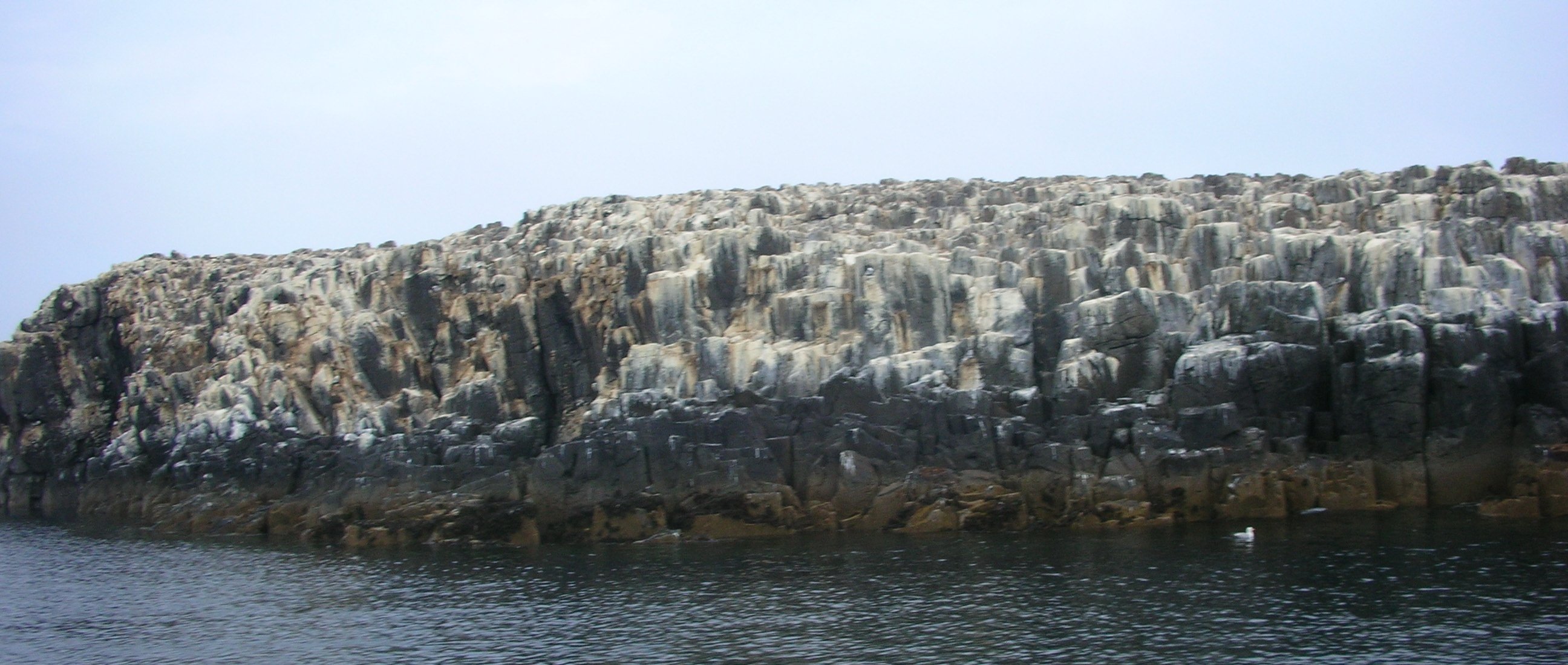
Big Harcar is a small island located in Northumberland, England. Situated approximately one kilometer off the coast, it belongs to the Farne Islands group. The island covers an area of about 5 acres and is characterized by its rugged and rocky terrain. It is primarily composed of basalt and is known for its distinctive flat top, which rises to a height of 23 meters above sea level.
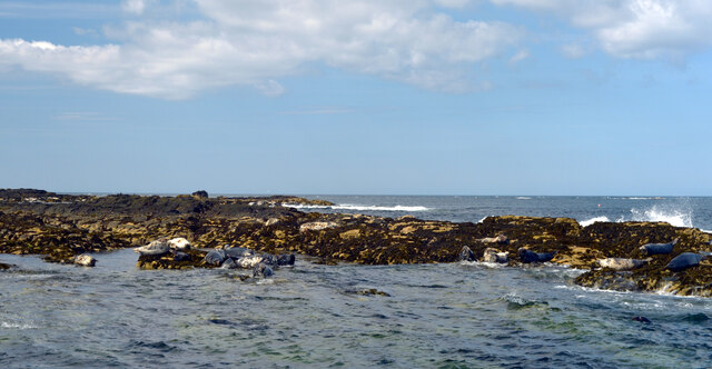
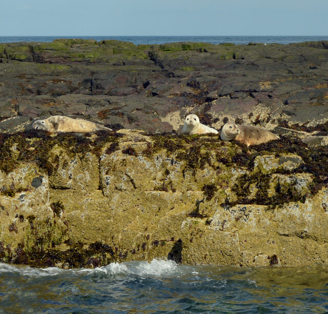
The island is uninhabited by humans, but it serves as an important breeding ground for various seabird species. Puffins, guillemots, razorbills, and kittiwakes can be found nesting here during the breeding season, which typically runs from April to August. The surrounding waters are also home to a diverse range of marine life, including grey seals, dolphins, and porpoises, making it a popular spot for wildlife enthusiasts and birdwatchers.
Access to Big Harcar is restricted, with no public access permitted due to its status as a nature reserve. However, visitors can observe the island and its inhabitants from nearby boats or during organized tours. The island's isolation and untouched beauty make it a significant site for conservation efforts, and it is protected and managed by the National Trust and Natural England.
Big Harcar is a haven for birdlife and a testament to the natural wonders of Northumberland. Its untouched landscape and thriving wildlife make it an idyllic destination for those seeking a glimpse of the region's natural beauty.
If you have any feedback on the listing, please let us know in the comments section below.
Big Harcar Images
Images are sourced within 2km of 55.639469/-1.6208404 or Grid Reference NU2338. Thanks to Geograph Open Source API. All images are credited.


Big Harcar is located at Grid Ref: NU2338 (Lat: 55.639469, Lng: -1.6208404)
Unitary Authority: Northumberland
Police Authority: Northumbria
What 3 Words
///outlined.toads.nearing. Near Seahouses, Northumberland
Nearby Locations
Related Wikis

Forfarshire (ship)
Forfarshire was a paddle steamer with brigantine rigging, built in Dundee in 1834, and which struck and later foundered on one of the Farne Islands on...

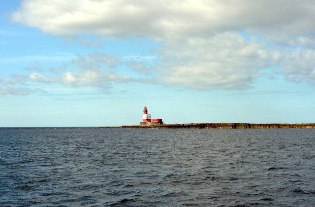
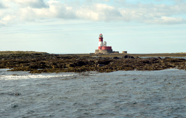
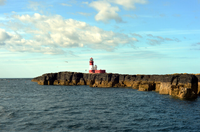
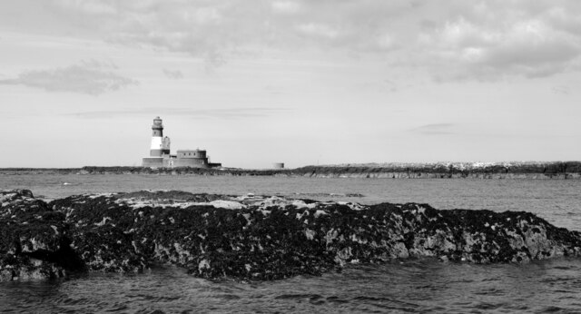
Longstone Lighthouse
Longstone Lighthouse is an active 19th century lighthouse located on Longstone Rock in the outer group of the Farne Islands off the Northumberland Coast...
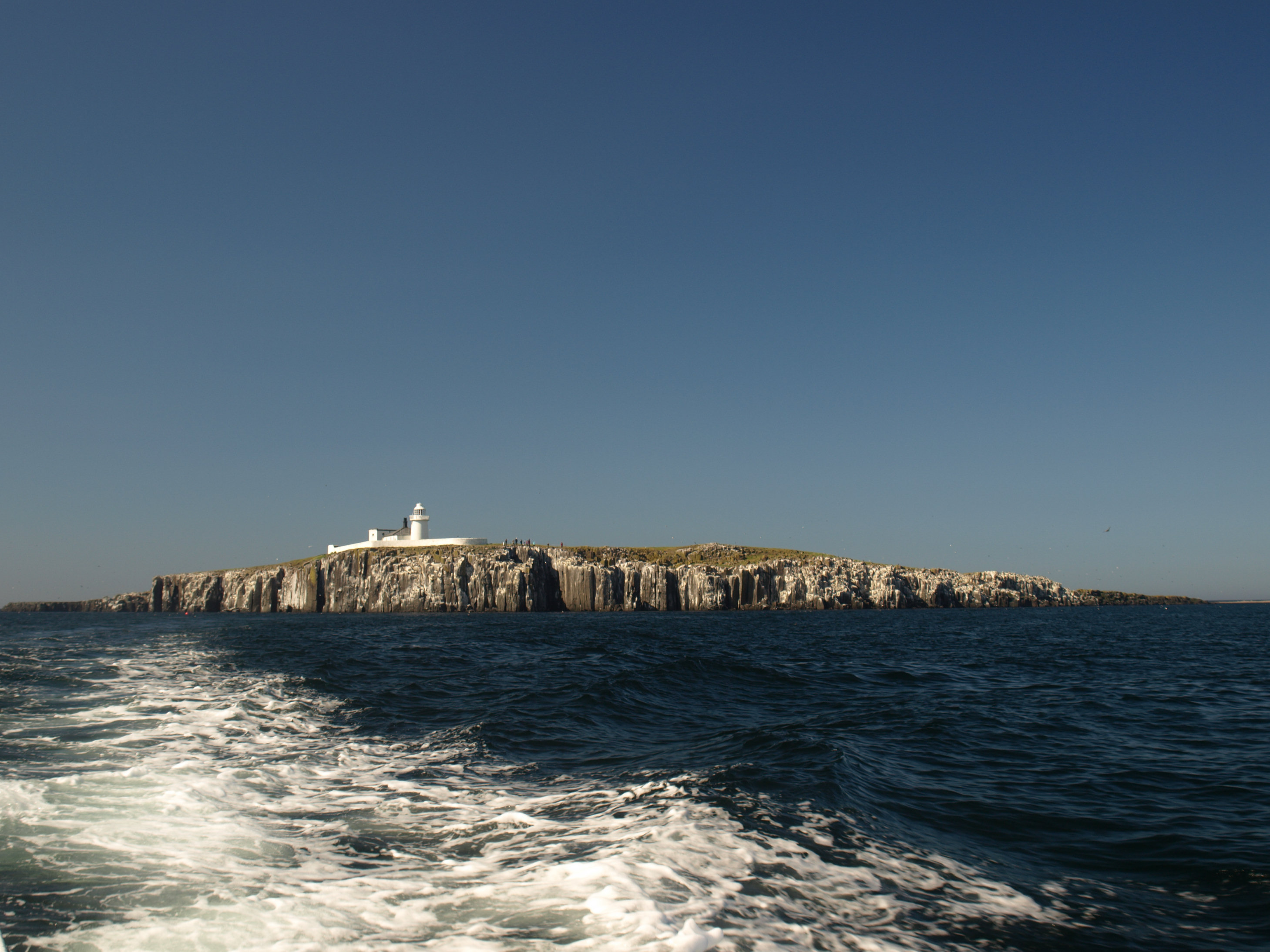
Staple Island
Staple Island is a small rocky island, or skerry, that is one of the Outer Group of the Farne Islands in Northumberland, England. The Farne Islands are...
Farne Islands
The Farne Islands are a group of islands off the coast of Northumberland, England. The group has between 15 and 20 islands depending on the level of the...
Nearby Amenities
Located within 500m of 55.639469,-1.6208404Have you been to Big Harcar?
Leave your review of Big Harcar below (or comments, questions and feedback).