Crescent Wood Island
Island in Warwickshire
England
Crescent Wood Island

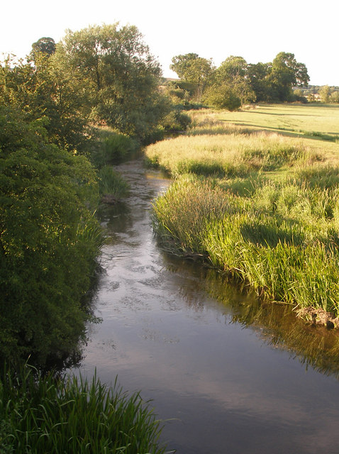
Crescent Wood Island is a small patch of land located in Warwickshire, England. Situated in the heart of the River Avon, this island is a natural gem that offers a tranquil retreat from the bustling city life. The island is characterized by its crescent-shaped formation, which gives it its unique name.
Covered in lush greenery and surrounded by the flowing river, Crescent Wood Island is a haven for nature enthusiasts and wildlife lovers. The island is home to a diverse range of flora and fauna, including various species of birds, small mammals, and aquatic life. Visitors can often spot herons, ducks, and swans gracefully gliding through the water or perched on the island's banks.
Access to Crescent Wood Island is primarily via boat or kayak, as there are no bridges connecting it to the mainland. This adds to the island's sense of seclusion and exclusivity, making it a popular destination for those seeking solitude or a peaceful picnic spot.
The island's natural beauty is enhanced by the presence of a small forest, which provides shade and a picturesque backdrop for visitors. The trees on Crescent Wood Island consist mainly of oak, willow, and elm, creating a serene atmosphere and providing a habitat for various woodland creatures.
Crescent Wood Island is also a popular spot for fishing enthusiasts, as the surrounding river is known for its abundance of fish species such as pike, perch, and roach. Anglers can often be seen casting their lines from the island's banks or from the comfort of their boats.
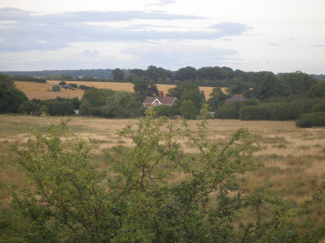
Overall, Crescent Wood Island offers a serene and idyllic escape from the bustling world, allowing visitors to immerse themselves in nature and enjoy the peaceful surroundings.
If you have any feedback on the listing, please let us know in the comments section below.
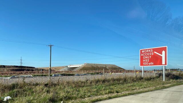
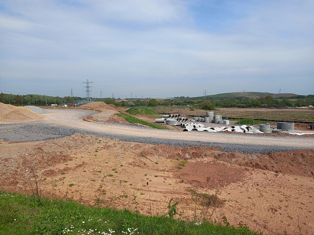
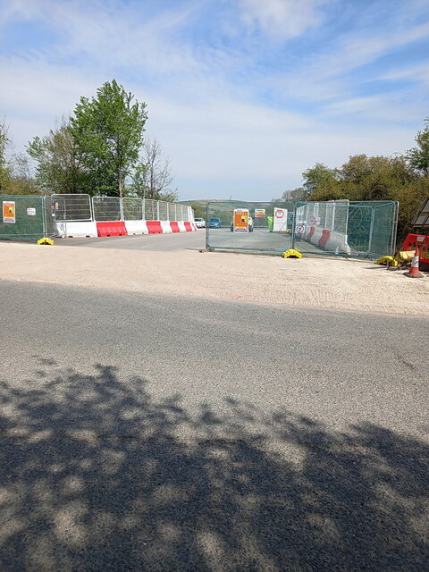
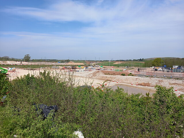
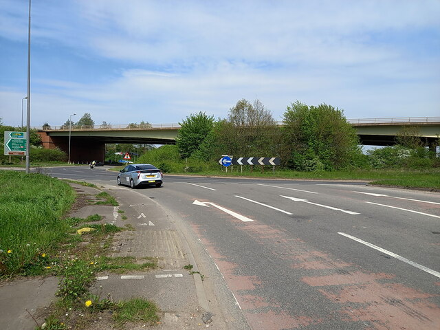
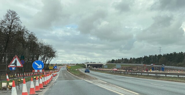
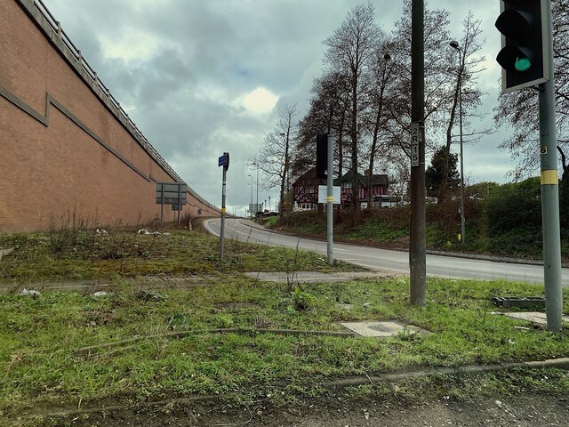
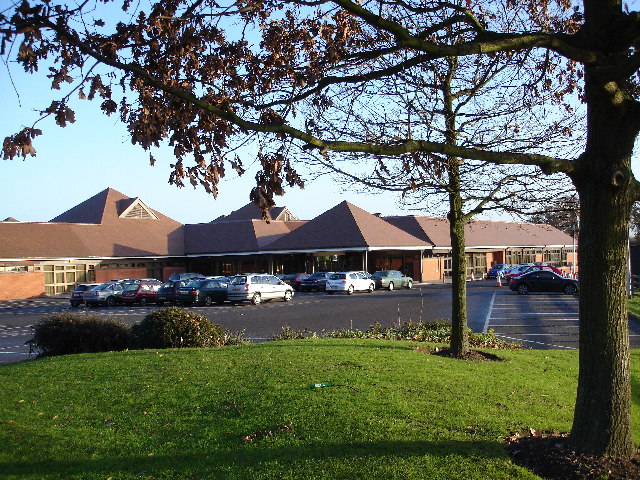
Crescent Wood Island Images
Images are sourced within 2km of 52.449289/-1.7155664 or Grid Reference SP1983. Thanks to Geograph Open Source API. All images are credited.


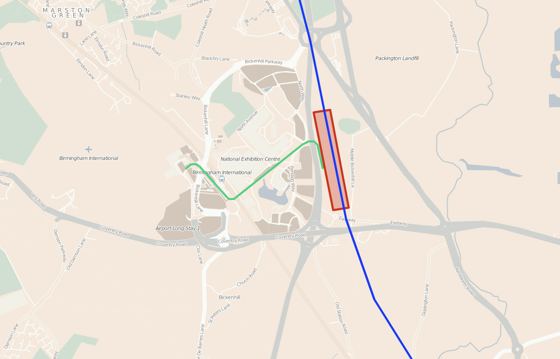
Crescent Wood Island is located at Grid Ref: SP1983 (Lat: 52.449289, Lng: -1.7155664)
Unitary Authority: Solihull
Police Authority: West Midlands
What 3 Words
///lung.lived.theme. Near Bickenhill, West Midlands
Nearby Locations
Related Wikis
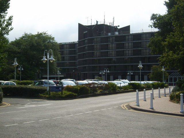
Hilton Birmingham Metropole
The Hilton Birmingham Metropole is the largest hotel in England outside London, with 790 rooms and suites, and approximately 6,000 m2 (65,000 sq ft) of...
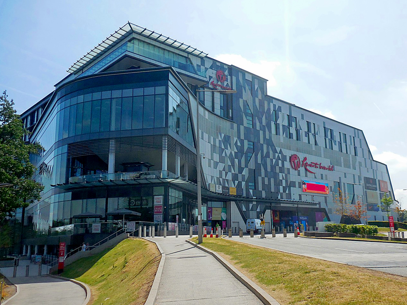
Resorts World Birmingham
Resorts World Birmingham is an entertainment complex in Solihull, near Birmingham England. It has the largest casino in the United Kingdom, shopping mall...
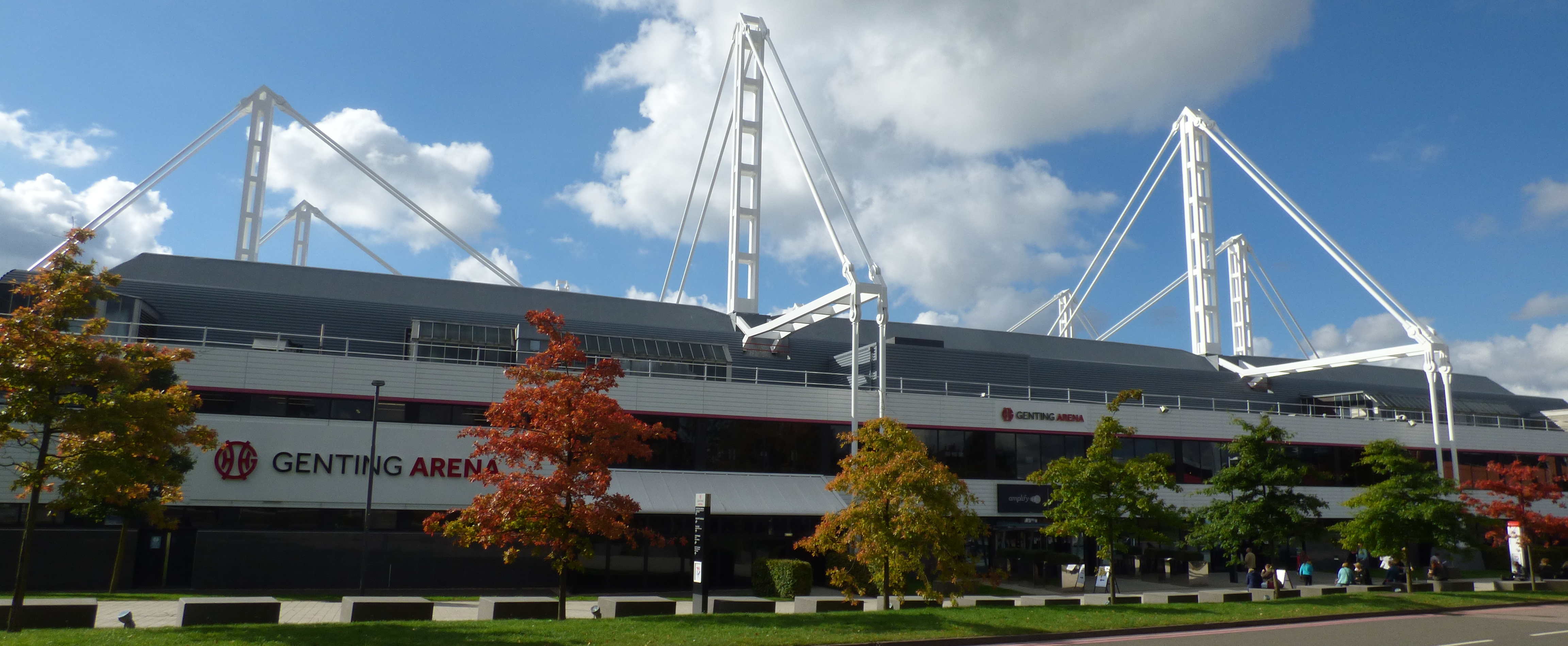
Resorts World Arena
The Resorts World Arena is a multipurpose indoor arena located at the National Exhibition Centre (NEC) in Solihull, England. It has a capacity of 15,685...

UK Games Expo
UK Games Expo (UKGE) is tabletop-game convention and trade fair held annually at the National Exhibition Centre (NEC) and the Hilton Birmingham Metropole...

NHS Nightingale Hospital Birmingham
The NHS Nightingale Hospital Birmingham was the second of the temporary NHS Nightingale Hospitals set up by NHS England to help to deal with the COVID...
National Exhibition Centre
The National Exhibition Centre (NEC) is an exhibition centre located in Marston Green, England, near to Birmingham and Solihull. It is near junction 6...
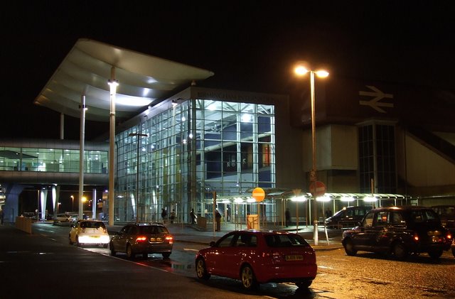
Birmingham International railway station
Birmingham International is a railway station known by code "BHI" in the Metropolitan Borough of Solihull in the West Midlands of England, just east of...
Birmingham Interchange
Birmingham Interchange is a planned High Speed 2 railway station in the Metropolitan Borough of Solihull, West Midlands, England, expected to open in 2026...
Nearby Amenities
Located within 500m of 52.449289,-1.7155664Have you been to Crescent Wood Island?
Leave your review of Crescent Wood Island below (or comments, questions and feedback).