Little Green

Settlement in Cambridgeshire South Cambridgeshire

England

Little Green

Guilden Morden Church
Guilden Morden Church Credit: mym

Little Green is a charming village located in the county of Cambridgeshire, England. Situated in the heart of the picturesque countryside, this idyllic settlement is home to a close-knit community of approximately 500 residents. Little Green is nestled between the larger towns of Huntingdon and St. Ives, offering residents both the tranquility of rural living and the convenience of nearby amenities.

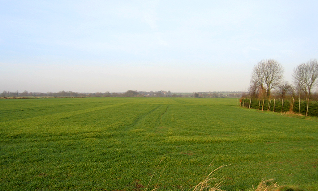
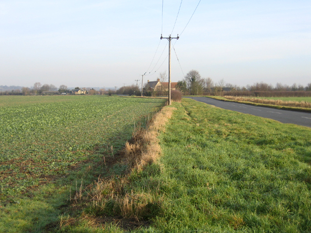
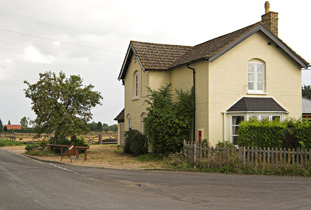
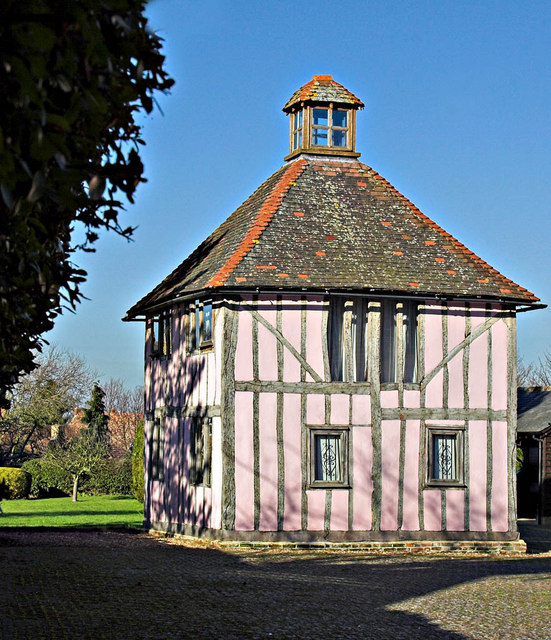
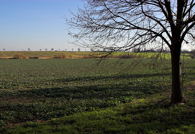
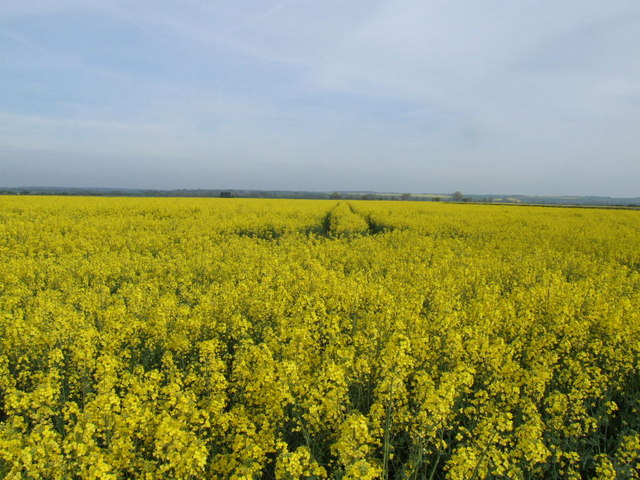
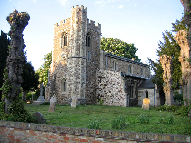
The village is characterized by its beautiful landscapes, with rolling green fields, meandering streams, and a scattering of charming cottages. The architecture of the village reflects its rich history, with some buildings dating back several centuries. The centerpiece of Little Green is the St. Mary's Church, a stunning medieval structure that adds to the village's timeless appeal.

Despite its small size, Little Green boasts a vibrant community spirit. The village organizes various events throughout the year, such as fairs, festivals, and fundraisers, providing ample opportunities for residents to come together and celebrate. The local pub, The Green Oak, serves as a social hub, offering a warm and friendly atmosphere for locals and visitors alike.

Little Green is also renowned for its proximity to natural attractions. The nearby Great Ouse River is a popular spot for leisurely walks, picnics, and boating. Additionally, the village is surrounded by several nature reserves, providing ample opportunities for outdoor enthusiasts to explore and appreciate the local flora and fauna.

In summary, Little Green offers a peaceful and picturesque lifestyle, combined with a strong sense of community. Its rich history, natural beauty, and friendly atmosphere make it a truly delightful place to call home.

If you have any feedback on the listing, please let us know in the comments section below.

Little Green Images

Images are sourced within 2km of 52.092891/-0.125679 or Grid Reference TL2845. Thanks to Geograph Open Source API. All images are credited.

Guilden Morden Church
Cam valley, Guilden Morden, Cambs view NW from Fleck's Lane across acres of winter wheat towards Tadlow in the distance.
Cam valley, Guilden Morden, Cambs
view NW from Fleck's Lane across acres of winter wheat towards Tadlow in the distance.
Watching you, watching me – hi-tech farm entrance.
Watching you, watching me
– hi-tech farm entrance.
Flecks Lane, Guilden Morden, Cambs view NE towards Flecks Lane Farm.
Flecks Lane, Guilden Morden, Cambs
view NE towards Flecks Lane Farm.
Hook's Mill, Guilden Morden, Cambs a tower mill of tarred brick with ogee cap missing, built 1865; on the right is Hook's late 18th cent. water mill and engine house with a tall tapering rectangular chimney stack, last used 1935 and Grade II listed.
Hook's Mill, Guilden Morden, Cambs
a tower mill of tarred brick with ogee cap missing, built 1865; on the right is Hook's late 18th cent. water mill and engine house with a tall tapering rectangular chimney stack, last used 1935 and Grade II listed.
Potton Road, Guilden Morden, Cambs view NW towards the bridge over the River Cam or Rhee.
Potton Road, Guilden Morden, Cambs
view NW towards the bridge over the River Cam or Rhee.
Farmland, Guilden Morden, Cambs view NE across the square towards Low Field Barn.
Farmland, Guilden Morden, Cambs
view NE across the square towards Low Field Barn.
Beds-Cambs county boundary, Wrestlingworth one large arable field has resulted from the amalgamation of many small ones, but the unrationalised county boundary still follows the old field boundaries with many angular bends.
Beds-Cambs county boundary, Wrestlingworth
one large arable field has resulted from the amalgamation of many small ones, but the unrationalised county boundary still follows the old field boundaries with many angular bends.
House with Postbox in wall This house stands at the junction of Flecks Lane and North Brook End.
House with Postbox in wall
This house stands at the junction of Flecks Lane and North Brook End.
Church St and High St  Guilden Morden The junction of Church St and furthest away, High St in the Village of Guilden Morden
Church St and High St Guilden Morden
The junction of Church St and furthest away, High St in the Village of Guilden Morden
Former Dovecot in Guilden Morden Former dovecot located in Church St, Guilden Morden. This is a Grade II listed building "Dwelling, formerly a dovecot. C17, altered in C19 with C20 remodelling and renovations. Timber framed with plaster infill. Plain tiled roof. Two storeys. Lantern apex to pyramidal roof replacing C19 chimney stack and former flight entry. Windows inserted between timber frame, main entrance to rear." <span class="nowrap"><a title="http://www.britishlistedbuildings.co.uk/en-52506-dovecote-circa-13-metres-west-of-numbers-" rel="nofollow ugc noopener" href="http://www.britishlistedbuildings.co.uk/en-52506-dovecote-circa-13-metres-west-of-numbers-">Link</a><img style="margin-left:2px;" alt="External link" title="External link - shift click to open in new window" src="https://s1.geograph.org.uk/img/external.png" width="10" height="10"/></span>
Former Dovecot in Guilden Morden
Former dovecot located in Church St, Guilden Morden. This is a Grade II listed building "Dwelling, formerly a dovecot. C17, altered in C19 with C20 remodelling and renovations. Timber framed with plaster infill. Plain tiled roof. Two storeys. Lantern apex to pyramidal roof replacing C19 chimney stack and former flight entry. Windows inserted between timber frame, main entrance to rear." LinkExternal link
Village Sign The very grand Village Sign outside St Mary's Church at Guilden Morden
Village Sign
The very grand Village Sign outside St Mary's Church at Guilden Morden
Trees and Field Taken from Trap Road Guilden Morden, the line of distant trees marks the road called North Brook End
Trees and Field
Taken from Trap Road Guilden Morden, the line of distant trees marks the road called North Brook End
Rape field from Fleck's Lane
Tree in a field at North Brook End
Driveway to Bridge Farm
Hedge between Wrestlingworth and Tadlow The hedgerows have taken a beating round here - these are the striking remains of a tall hedge on the path to Tadlow.
Hedge between Wrestlingworth and Tadlow
The hedgerows have taken a beating round here - these are the striking remains of a tall hedge on the path to Tadlow.
Ruins of Hooks Mill Farm
Show me another place!

Little Green is located at Grid Ref: TL2845 (Lat: 52.092891, Lng: -0.125679)

Administrative County: Cambridgeshire

District: South Cambridgeshire

Police Authority: Cambridgeshire

What 3 Words

///difficult.campers.scar. Near Bassingbourn, Cambridgeshire

Nearby Locations

Little Green Green, Little

Related Wikis

Guilden Morden

Guilden Morden is a village and parish located in Cambridgeshire about 16 miles (26 km) south west of Cambridge and 9 miles (14 km) west of Royston in...

Tadlow

Tadlow is a small village and civil parish in South Cambridgeshire, England on the River Cam (or Rhee). It is 20 kilometres (12 mi) south-west of Cambridge...

Abington Pigotts

Abington Pigotts is a small village in Cambridgeshire, England about 4 miles (6 km) northwest of Royston, Hertfordshire. == History == The parish of Abington...
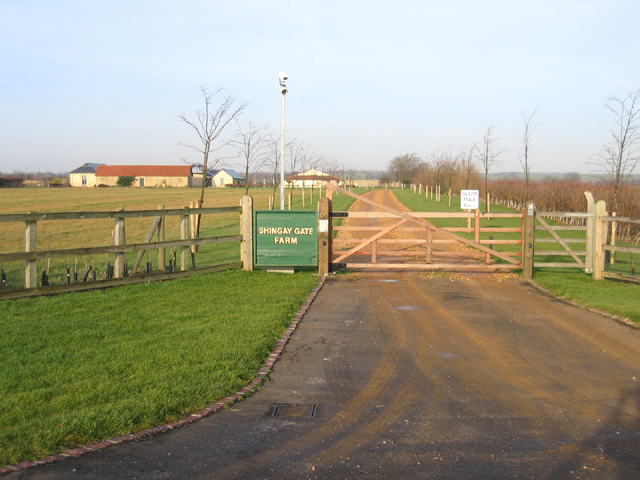
Shingay

Shingay is a hamlet and former civil parish, now in the parish of Shingay cum Wendy, in the South Cambridgeshire district, in the county of Cambridgeshire...

Steeple Morden

Steeple Morden is a village and civil parish in Cambridgeshire, England, about 15 miles (24 km) south west of Cambridge and 5 miles (8 km) west of Royston...

Shingay Preceptory

Shingay Preceptory was a Knights Hospitaller priory at Shingay in Cambridgeshire, England. It was established in 1144. The moated site is a scheduled ancient...

Church of St Peter, Wrestlingworth

Church of St Peter is a Grade I listed church in Wrestlingworth, Bedfordshire, England. It became a listed building on 31 October 1966. == See also... ==

Shingay cum Wendy

Shingay cum Wendy is a civil parish in the English county of Cambridgeshire, around 5 miles (8 km) north west of Royston. Forming part of the district...

Have you been to Little Green?

Leave your review of Little Green below (or comments, questions and feedback).