Lud Stream Islands
Island in Yorkshire Craven
England
Lud Stream Islands

Lud Stream Islands, located in the county of Yorkshire, England, is a small archipelago consisting of several islands situated within the Humber Estuary. This cluster of islands is nestled between the mainland and the larger Spurn Peninsula, creating a unique and picturesque landscape.
The islands are primarily composed of sand and shingle, with the largest and most prominent being Lud Island. Lud Island stretches approximately 1.5 kilometers in length and its highest point reaches just over 5 meters above sea level. The other islands in the group, namely Far Island and Cant Island, are smaller in size and located in close proximity to Lud Island.
The area surrounding Lud Stream Islands is known for its rich and diverse wildlife. The islands themselves provide important breeding grounds for various species of birds, including terns, gulls, and waders. Moreover, the surrounding waters are teeming with marine life, making it a popular spot for fishing enthusiasts.
Access to Lud Stream Islands is limited due to their protected status. However, visitors can catch glimpses of the islands from the mainland, particularly from the Spurn Peninsula. The islands' remote location adds to their charm and makes them a haven for nature lovers seeking tranquility and solitude.
Overall, Lud Stream Islands offer a unique blend of natural beauty, wildlife, and seclusion. Their unspoiled landscape and protected status make them an important habitat for various bird species, while also providing a serene environment for visitors to appreciate the wonders of nature.
If you have any feedback on the listing, please let us know in the comments section below.
Lud Stream Islands Images
Images are sourced within 2km of 53.995916/-1.8863088 or Grid Reference SE0755. Thanks to Geograph Open Source API. All images are credited.


![A circular walk along the River Wharfe [1] Leaving the Cavendish Pavilion, the track enters woodland.
Starting from the Cavendish Pavilion, the walk follows the west bank of the River Wharfe upstream, passing The Strid, to the Barden Aqueduct Bridge. Crossing to the east bank, the walk continues downstream to return to the starting point. Just over 3½ miles.](https://s1.geograph.org.uk/geophotos/07/01/89/7018925_66eb2f66.jpg)
![A circular walk along the River Wharfe [2] The river, seen from the path near the Sulphur Well.
Starting from the Cavendish Pavilion, the walk follows the west bank of the River Wharfe upstream, passing The Strid, to the Barden Aqueduct Bridge. Crossing to the east bank, the walk continues downstream to return to the starting point. Just over 3½ miles.](https://s2.geograph.org.uk/geophotos/07/01/89/7018930_cd410f5d.jpg)
![A circular walk along the River Wharfe [3] The river looking upstream, seen from the path.
Starting from the Cavendish Pavilion, the walk follows the west bank of the River Wharfe upstream, passing The Strid, to the Barden Aqueduct Bridge. Crossing to the east bank, the walk continues downstream to return to the starting point. Just over 3½ miles.](https://s1.geograph.org.uk/geophotos/07/01/89/7018933_c493bcd6.jpg)
![A circular walk along the River Wharfe [4] Away from the main track, this lower path is close to the river.
Starting from the Cavendish Pavilion, the walk follows the west bank of the River Wharfe upstream, passing The Strid, to the Barden Aqueduct Bridge. Crossing to the east bank, the walk continues downstream to return to the starting point. Just over 3½ miles.](https://s0.geograph.org.uk/geophotos/07/01/89/7018940_5ab0786e.jpg)
![A circular walk along the River Wharfe [5] The way returns to the main track from the lower path.
Starting from the Cavendish Pavilion, the walk follows the west bank of the River Wharfe upstream, passing The Strid, to the Barden Aqueduct Bridge. Crossing to the east bank, the walk continues downstream to return to the starting point. Just over 3½ miles.](https://s0.geograph.org.uk/geophotos/07/01/89/7018944_0a842b84.jpg)
![A circular walk along the River Wharfe [6] The path leads through woodland alongside the river.
Starting from the Cavendish Pavilion, the walk follows the west bank of the River Wharfe upstream, passing The Strid, to the Barden Aqueduct Bridge. Crossing to the east bank, the walk continues downstream to return to the starting point. Just over 3½ miles.](https://s0.geograph.org.uk/geophotos/07/01/89/7018948_5c3f5f3b.jpg)
![A circular walk along the River Wharfe [7] The river is very tranquil along this stretch.
Starting from the Cavendish Pavilion, the walk follows the west bank of the River Wharfe upstream, passing The Strid, to the Barden Aqueduct Bridge. Crossing to the east bank, the walk continues downstream to return to the starting point. Just over 3½ miles.](https://s2.geograph.org.uk/geophotos/07/01/89/7018950_75e15b2b.jpg)
![A circular walk along the River Wharfe [8] The track is now somewhat higher above the water.
Starting from the Cavendish Pavilion, the walk follows the west bank of the River Wharfe upstream, passing The Strid, to the Barden Aqueduct Bridge. Crossing to the east bank, the walk continues downstream to return to the starting point. Just over 3½ miles.](https://s0.geograph.org.uk/geophotos/07/01/97/7019700_9fb6a40e.jpg)
![A circular walk along the River Wharfe [9] The river makes a bend to the right.
Starting from the Cavendish Pavilion, the walk follows the west bank of the River Wharfe upstream, passing The Strid, to the Barden Aqueduct Bridge. Crossing to the east bank, the walk continues downstream to return to the starting point. Just over 3½ miles.](https://s1.geograph.org.uk/geophotos/07/01/97/7019701_64868ed9.jpg)
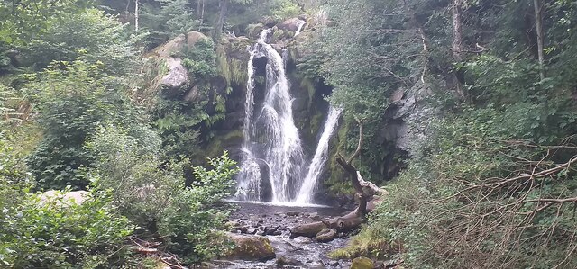
![A circular walk along the River Wharfe [10] The Strid is a 15 foot (4.6 m) deep underwater channel caused by the narrowing of the river from 90 ft (27 m) wide, just to the north, to the width of a long stride less than 300 ft (91 m) later. It is especially dangerous as both banks are undercut. Its name comes from the Old English Stryth, meaning 'turmoil'. This was later corrupted to Strid, referring to 'the possibility of striding across'.
Starting from the Cavendish Pavilion, the walk follows the west bank of the River Wharfe upstream, passing The Strid, to the Barden Aqueduct Bridge. Crossing to the east bank, the walk continues downstream to return to the starting point. Just over 3½ miles.](https://s2.geograph.org.uk/geophotos/07/01/97/7019702_55b158f6.jpg)
![A circular walk along the River Wharfe [11] This part of The Strid looks deceptively calm. The Strid is a 15 foot (4.6 m) deep underwater channel caused by the narrowing of the river from 90 ft (27 m) wide, just to the north, to the width of a long stride less than 300 ft (91 m) later. It is especially dangerous as both banks are undercut. Its name comes from the Old English Stryth, meaning 'turmoil'. This was later corrupted to Strid, referring to 'the possibility of striding across'.
Starting from the Cavendish Pavilion, the walk follows the west bank of the River Wharfe upstream, passing The Strid, to the Barden Aqueduct Bridge. Crossing to the east bank, the walk continues downstream to return to the starting point. Just over 3½ miles.](https://s3.geograph.org.uk/geophotos/07/01/97/7019703_05b8e8b5.jpg)
![A circular walk along the River Wharfe [12] A view of the top of The Strid as the river narrows. The Strid is a 15 foot (4.6 m) deep underwater channel caused by the narrowing of the river from 90 ft (27 m) wide, just to the north, to the width of a long stride less than 300 ft (91 m) later. It is especially dangerous as both banks are undercut. Its name comes from the Old English Stryth, meaning 'turmoil'. This was later corrupted to Strid, referring to 'the possibility of striding across'.
Starting from the Cavendish Pavilion, the walk follows the west bank of the River Wharfe upstream, passing The Strid, to the Barden Aqueduct Bridge. Crossing to the east bank, the walk continues downstream to return to the starting point. Just over 3½ miles.](https://s1.geograph.org.uk/geophotos/07/01/97/7019705_a9519a71.jpg)
![A circular walk along the River Wharfe [13] The path continues through calm and peaceful Strid Wood in contrast to the tumult of the river below.
Starting from the Cavendish Pavilion, the walk follows the west bank of the River Wharfe upstream, passing The Strid, to the Barden Aqueduct Bridge. Crossing to the east bank, the walk continues downstream to return to the starting point. Just over 3½ miles.](https://s3.geograph.org.uk/geophotos/07/01/97/7019707_818019fe.jpg)
![A circular walk along the River Wharfe [14] The river is wider here before it begins to narrow to The Strid.
Starting from the Cavendish Pavilion, the walk follows the west bank of the River Wharfe upstream, passing The Strid, to the Barden Aqueduct Bridge. Crossing to the east bank, the walk continues downstream to return to the starting point. Just over 3½ miles.](https://s0.geograph.org.uk/geophotos/07/01/97/7019708_1f2b9a50.jpg)
Lud Stream Islands is located at Grid Ref: SE0755 (Lat: 53.995916, Lng: -1.8863088)
Division: West Riding
Administrative County: North Yorkshire
District: Craven
Police Authority: North Yorkshire
What 3 Words
///occupiers.oaks.jotting. Near Addingham, West Yorkshire
Nearby Locations
Related Wikis

Cavendish memorial fountain
The Cavendish memorial fountain is a drinking fountain erected in 1886 at Bolton Abbey, North Yorkshire, England as a memorial to Lord Frederick Cavendish...

Bolton Abbey
Bolton Abbey in Wharfedale, North Yorkshire, England, takes its name from the ruins of the 12th-century Augustinian monastery now known as Bolton Priory...
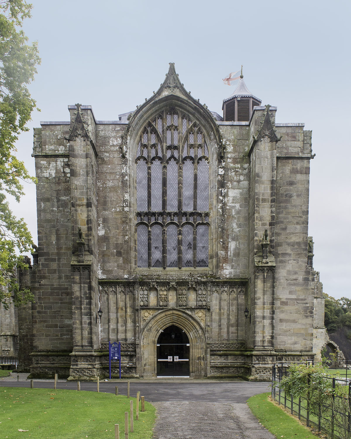
Bolton Priory
Bolton Priory, whose full title is The Priory Church of St Mary and St Cuthbert, Bolton Abbey, is a Grade I listed parish church of the Church of England...

Bolton Abbey (village)
Bolton Abbey is a village and civil parish in the Craven district of North Yorkshire, England, 22 miles (35 km) north-west of Leeds. The village lies in...

Hazlewood with Storiths
Hazlewood with Storiths is a civil parish in the Craven district of North Yorkshire, England. The population of the civil parish as of the 2011 census...

Hazlewood
Hazlewood is a hamlet in the English county of North Yorkshire. Hazlewood lies to the east of the town of Skipton by 7.5 miles (12.1 km) and is located...
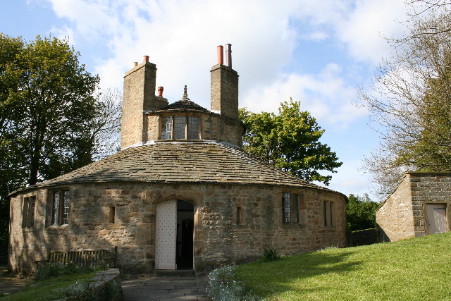
Beamsley Hospital
Beamsley Hospital is an Almshouse building at Beamsley, near Skipton in North Yorkshire, and founded in 1593 by the Lady Margaret Russell, the Countess...

Bolton Abbey railway station
Bolton Abbey railway station is on the Embsay and Bolton Abbey Steam Railway. It serves Bolton Abbey, although it is closer to Bolton Bridge, in North...
Nearby Amenities
Located within 500m of 53.995916,-1.8863088Have you been to Lud Stream Islands?
Leave your review of Lud Stream Islands below (or comments, questions and feedback).