Glover's Island
Island in Worcestershire Wychavon
England
Glover's Island
Glover's Island, Worcestershire is a small, picturesque island located in the heart of the River Avon, near the town of Evesham in Worcestershire, England. This serene island is known for its natural beauty and historical significance, attracting both locals and tourists alike.
Covering an area of approximately 2.8 acres, Glover's Island is a haven for wildlife and provides a tranquil escape from the hustle and bustle of everyday life. The island is covered with lush greenery, including a variety of trees, shrubs, and wildflowers, creating a peaceful and idyllic atmosphere.
The history of Glover's Island dates back several centuries, with records indicating its existence as early as the 16th century. It is believed to have been named after a local landowner, Glover, who owned the island at one point. Over the years, the island has served various purposes, including agriculture and even as a venue for horse racing.
Accessible by footbridge, Glover's Island offers visitors the opportunity to explore its natural beauty through a network of well-maintained footpaths. The island is a popular spot for walking, picnicking, and birdwatching, with a diverse range of bird species inhabiting the area.
In addition to its natural attractions, Glover's Island is also home to a small summerhouse, which adds to its charm. This quaint structure provides a sheltered spot for visitors to relax and enjoy the stunning views of the surrounding river and countryside.
Overall, Glover's Island is a hidden gem in Worcestershire, offering a peaceful retreat for nature enthusiasts and history lovers alike. Its combination of natural beauty, wildlife, and historical significance make it a must-visit destination for those exploring the area.
If you have any feedback on the listing, please let us know in the comments section below.
Glover's Island Images
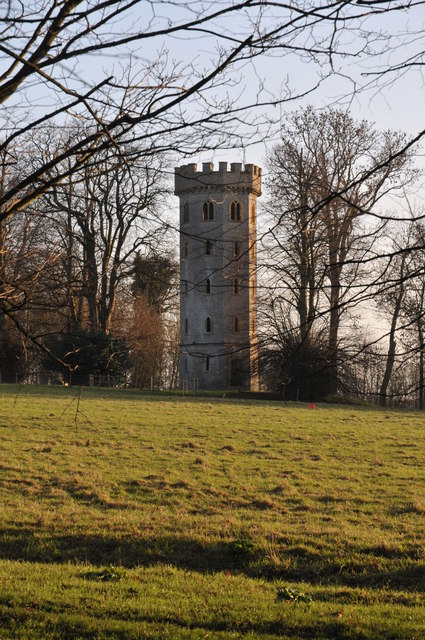
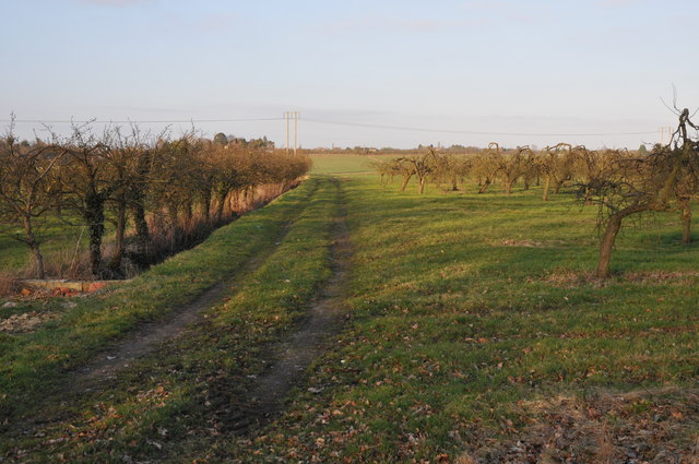
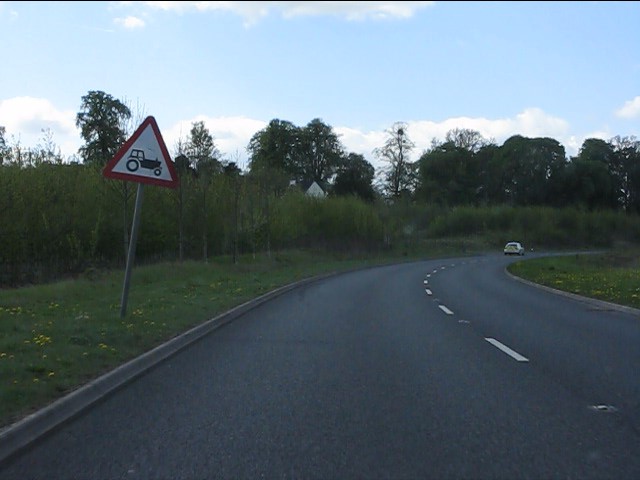
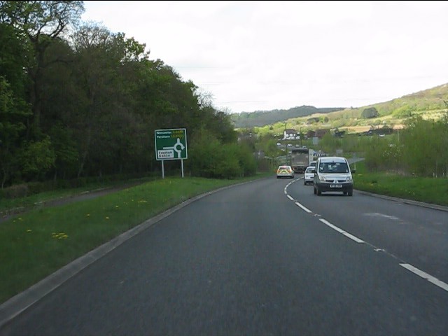
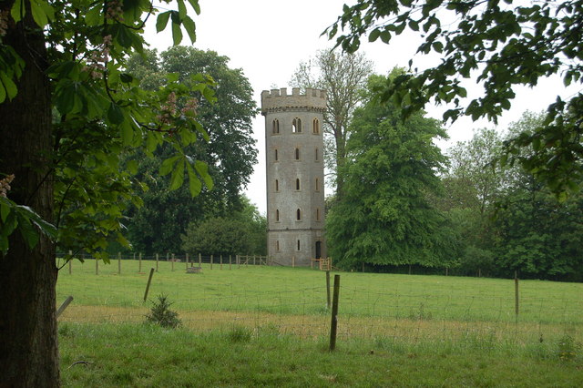
Images are sourced within 2km of 52.097977/-1.9564085 or Grid Reference SP0344. Thanks to Geograph Open Source API. All images are credited.


Glover's Island is located at Grid Ref: SP0344 (Lat: 52.097977, Lng: -1.9564085)
Administrative County: Worcestershire
District: Wychavon
Police Authority: West Mercia
What 3 Words
///pesky.lazy.partly. Near Evesham, Worcestershire
Nearby Locations
Related Wikis

Evesham Cricket Club Ground
The Evesham Cricket Club Ground in Evesham, Worcestershire was used for first-class cricket by Worcestershire County Cricket Club on a single occasion...
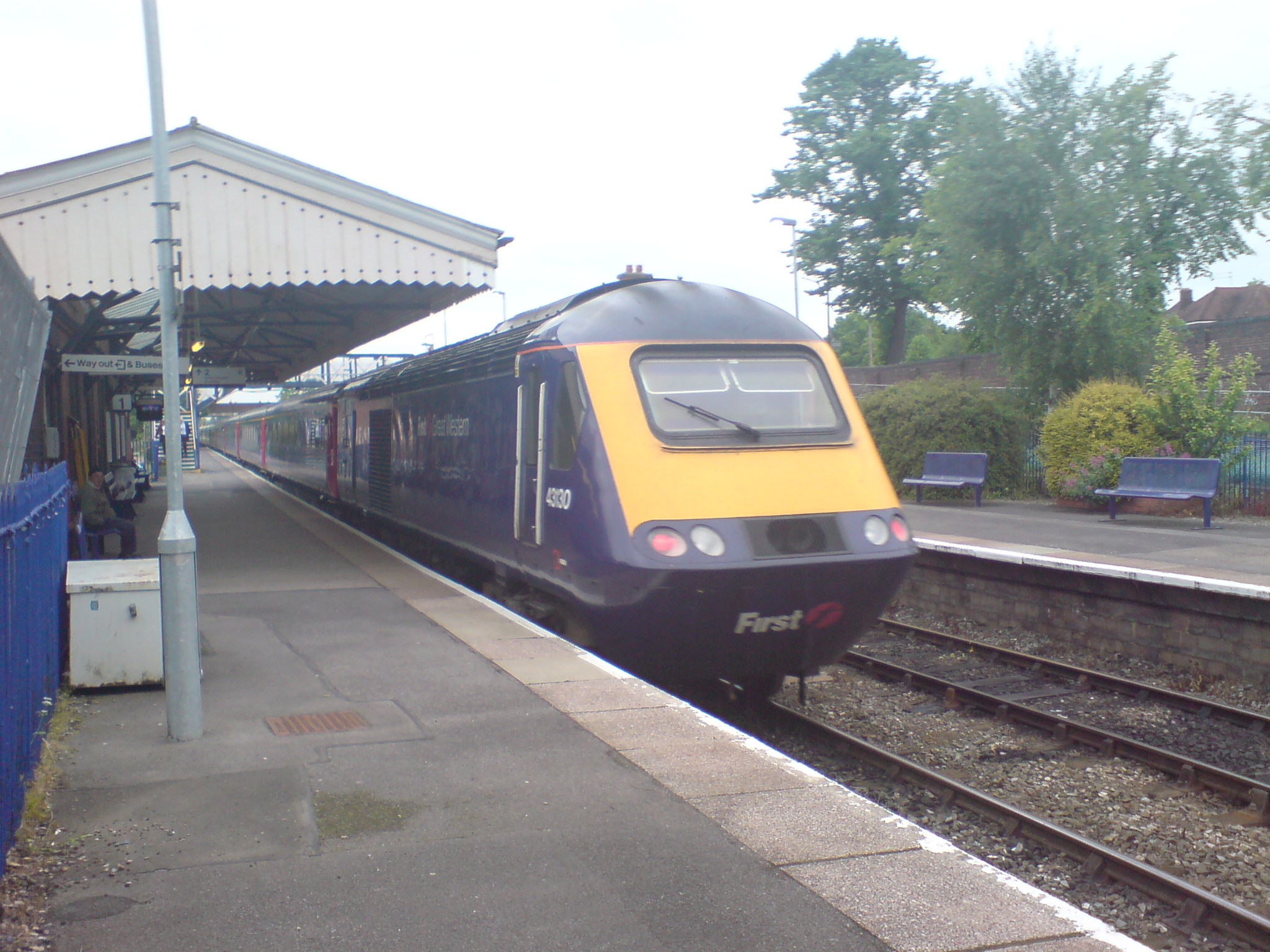
Evesham railway station
Evesham railway station is in the town of Evesham in Worcestershire, England. It is between Honeybourne and Pershore stations on the Cotswold Line between...

Hampton Ferry (River Avon)
The Hampton Ferry is a pedestrian cable ferry linking Evesham and the village of Hampton across the River Avon in the English county of Worcestershire...

Evesham Town Hall
Evesham Town Hall is a municipal structure in the Market Place in Evesham, Worcestershire, England. The town hall, which was the headquarters of Evesham...
Nearby Amenities
Located within 500m of 52.097977,-1.9564085Have you been to Glover's Island?
Leave your review of Glover's Island below (or comments, questions and feedback).