Bear's Head

Island in Northumberland

England

Bear's Head

The shore at Redshin Cove This narrow strip of rock appears to be covered in fossilised limpets but it is a piece of concretionary limestone.
The shore at Redshin Cove Credit: Walter Baxter

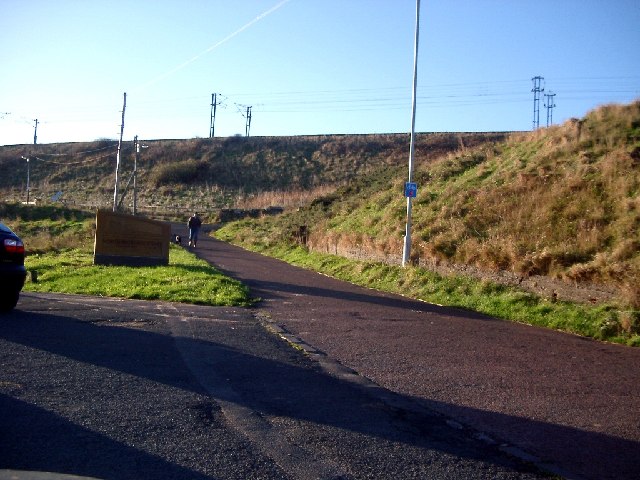
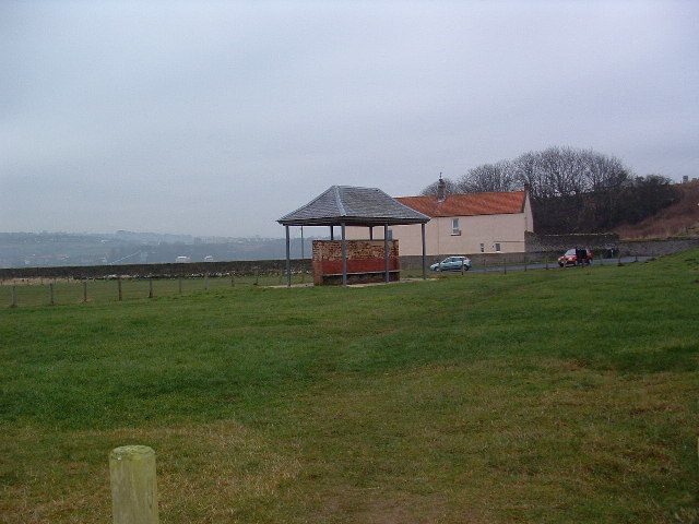
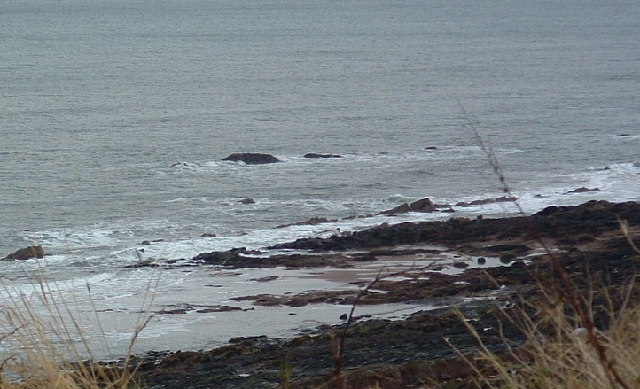
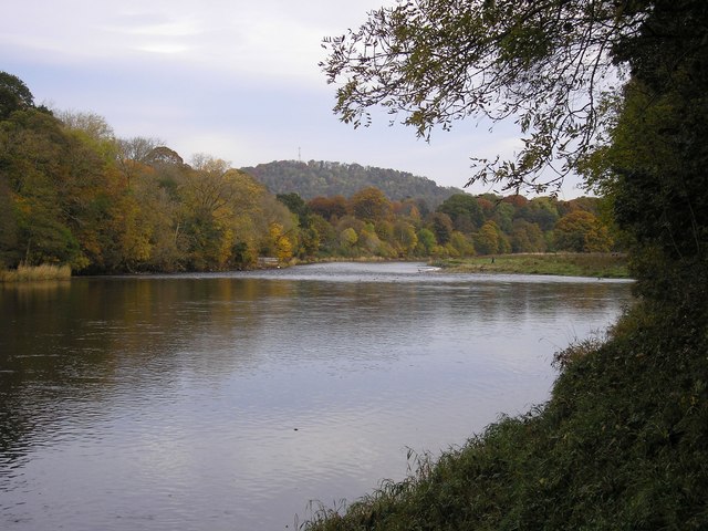
Bear's Head is a small island located off the coast of Northumberland, England. Situated in the North Sea, it is part of the Farne Islands group, which is renowned for its rich wildlife and stunning natural beauty. Bear's Head covers an area of approximately 5 hectares and is characterized by its rugged cliffs, rocky shorelines, and lush vegetation.

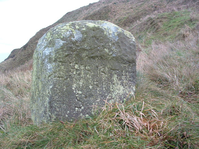
The island derives its name from the distinctive rock formation resembling a bear's head that can be observed from certain angles. This unique feature adds to the island's allure and makes it a popular destination for nature lovers, photographers, and birdwatchers.

One of the key attractions of Bear's Head is its diverse bird population. The island provides a critical breeding ground and sanctuary for numerous species, including puffins, guillemots, razorbills, and kittiwakes. These seabirds fill the air with their calls and create a bustling spectacle during the breeding season.

Visitors to Bear's Head can explore the island's picturesque walking trails that offer breathtaking views of the surrounding waters and neighboring islands. The rocky shorelines are also ideal for those interested in marine life, as they are home to a variety of seals, dolphins, and even occasional sightings of whales.

Due to its status as a protected nature reserve, access to Bear's Head is limited and regulated. Visitors must obtain permits and are encouraged to follow guidelines to minimize their impact on the fragile ecosystem. Despite its small size, Bear's Head showcases the beauty and diversity of Northumberland's coastal landscapes, making it a must-visit destination for nature enthusiasts and wildlife admirers.

If you have any feedback on the listing, please let us know in the comments section below.

Bear's Head Images

Images are sourced within 2km of 55.75198/-1.9836443 or Grid Reference NU0150. Thanks to Geograph Open Source API. All images are credited.

The shore at Redshin Cove This narrow strip of rock appears to be covered in fossilised limpets but it is a piece of concretionary limestone.
The shore at Redshin Cove
This narrow strip of rock appears to be covered in fossilised limpets but it is a piece of concretionary limestone.
Colourful rock strata at The Skipper I haven’t noticed these colourful rocks before but a lot of seaweed has been stripped off rocks in this area by recent storms.
Colourful rock strata at The Skipper
I haven’t noticed these colourful rocks before but a lot of seaweed has been stripped off rocks in this area by recent storms.
Berwick Pier Lighthouse, Berwick upon Tweed
Railway Embankment, Spittal the embankment is for the main line south (Edinburgh to London Kings Cross)
Railway Embankment, Spittal
the embankment is for the main line south (Edinburgh to London Kings Cross)
The Dryers Last Day The day following the taking of this photo the building on the left was demolished. The decision on the chimney's fate is still awaited.
The Dryers Last Day
The day following the taking of this photo the building on the left was demolished. The decision on the chimney's fate is still awaited.
Shelter Not any old shelter though but a replacement on the same site as one painted, and made famous by the artist Lowry.
Shelter
Not any old shelter though but a replacement on the same site as one painted, and made famous by the artist Lowry.
Pier House Berwick I don't know if it still is but at one time it was the home of the Berwick Harbour Master. My mother b.1900 worked here, as they said "in service" as a cook. The Harbour master was a Captain Gibsone.
Pier House Berwick
I don't know if it still is but at one time it was the home of the Berwick Harbour Master. My mother b.1900 worked here, as they said "in service" as a cook. The Harbour master was a Captain Gibsone.
Berwick Lighthouse Tide almost at lowest ebb and very calm. One or two dog walkers about and evidence on the beach of Lug Worm gatherers.
Berwick Lighthouse
Tide almost at lowest ebb and very calm. One or two dog walkers about and evidence on the beach of Lug Worm gatherers.
Bears Head Spittal The Bear's Head is extremely close to the grid line but my guess is that at least part of it is in NU0151. I await to be told otherwise!
Bears Head Spittal
The Bear's Head is extremely close to the grid line but my guess is that at least part of it is in NU0151. I await to be told otherwise!
Boundary Stone "This is the Boundary Stone" is the inscription roughly carved. There may be more below the grass line but I couldn't really tell. The OS has the name "Toppye Knowe" across its position so maybe that is what it is called.
Boundary Stone
"This is the Boundary Stone" is the inscription roughly carved. There may be more below the grass line but I couldn't really tell. The OS has the name "Toppye Knowe" across its position so maybe that is what it is called.
Hud's Head The fishing shiel that once stood beside "The Boundary Stone" was known as Huds Head Shiel. It, Huds Head, stand slightly higher than the Bears Head but both are usually covered at high tide.
Hud's Head
The fishing shiel that once stood beside "The Boundary Stone" was known as Huds Head Shiel. It, Huds Head, stand slightly higher than the Bears Head but both are usually covered at high tide.
Coast guard houses and Deavon Terrace, Berwick Terrace of houses with a commanding view of the Tweed Estuary and coastline south to the Farnes.
Coast guard houses and Deavon Terrace, Berwick
Terrace of houses with a commanding view of the Tweed Estuary and coastline south to the Farnes.
Gone at Last Although a dramatic silhouette, the silo had been left to decay for over 30 years. The chimney remains - for the moment.
Gone at Last
Although a dramatic silhouette, the silo had been left to decay for over 30 years. The chimney remains - for the moment.
Spittal Beach Showing the "new" Promenade completed in 2001 & the old chemical works chimney in the background
Spittal Beach
Showing the "new" Promenade completed in 2001 & the old chemical works chimney in the background
Spittal Beach Tree debris on Spittal Beach.
Spittal Beach
Tree debris on Spittal Beach.
Spittal Beach, with Berwick Lighthouse and Pier beyond
Beach Art Spittal Beach, Berwick-upon-Tweed
Beach Art
Spittal Beach, Berwick-upon-Tweed
Redshank roost Redshank beneath the town walls on the banks of the Tweed.
Redshank roost
Redshank beneath the town walls on the banks of the Tweed.
Show me another place!

Bear's Head is located at Grid Ref: NU0150 (Lat: 55.75198, Lng: -1.9836443)

Unitary Authority: Northumberland

Police Authority: Northumbria

What 3 Words

///switch.danger.fits. Near Berwick-Upon-Tweed, Northumberland

Related Wikis

Spittal, Northumberland

Spittal is a village in northern Northumberland, England. It is part of Berwick-upon-Tweed and is situated on the coast to the east of Tweedmouth. Spittal...

Berwick Academy, Berwick-upon-Tweed

Berwick Academy (formerly Berwick Community High School) is a coeducational upper school and sixth form located in Berwick-upon-Tweed in the English county...

River Tweed

The River Tweed, or Tweed Water, Scots: Watter o Tweid, Welsh: Tuedd), is a river 97 miles (156 km) long that flows east across the Border region in Scotland...

Scremerston

Scremerston is a village in Northumberland, England. The village lies on the North Sea coast just under 2.5 miles (4 km) south of Berwick-upon-Tweed and...

Scremerston railway station

Scremerston railway station served the village of Scremerston, Northumberland, England from 1847 to 1951 on the East Coast Main Line. == History == The...

Tweedmouth railway station

Tweedmouth railway station was a railway station which served the Tweedmouth area of Berwick-on-Tweed in Northumberland, England. It was located on the...

Tweedmouth

Tweedmouth is part of the town of Berwick-upon-Tweed in Northumberland, England. It is located on the south bank of the River Tweed and is connected to...

Berwick town walls

Berwick's town walls are a sequence of defensive structures built around the town of Berwick-upon-Tweed in England. == History == === Medieval fortification... ===

Nearby Amenities

Located within 500m of 55.75198,-1.9836443
Huds Head
Place: locality
Lat/Long: 55.7503965/-1.9795138
Seaview
Place: locality
Lat/Long: 55.7504338/-1.9877327
Bus Stop
Spittal, War Memorial
Bench: no
Bin: no
Bus: yes
Public Transport: platform
Shelter: no
Tactile Paving: no
Lat/Long: 55.7546859/-1.9897551
Telephone
Booth: KX100
Covered: booth
Lat/Long: 55.7538843/-1.9883249
Information: guidepost
Mapillary: 1009157106494298
Tourism: information
Lat/Long: 55.7503352/-1.9836563
Information: guidepost
Mapillary: 310163444117291
Tourism: information
Lat/Long: 55.7516118/-1.9842128
Noexit: yes
Lat/Long: 55.7513423/-1.9910722
Generator Method: photovoltaic
Generator Output Electricity: yes
Generator Solar Modules: 10
Generator Source: solar
Generator Type: solar_photovoltaic_panel
Location: roof
Power: generator
Lat/Long: 55.7540849/-1.9878066
Direction: se
Generator Method: photovoltaic
Generator Output Electricity: yes
Generator Solar Modules: 10
Generator Source: solar
Generator Type: solar_photovoltaic_panel
Location: roof
Power: generator
Lat/Long: 55.7543619/-1.9882196
Noexit: yes
Lat/Long: 55.7517196/-1.9909072
Noexit: yes
Lat/Long: 55.7515799/-1.9907127
Tribeca
Shop: hairdresser
Lat/Long: 55.7551627/-1.9890769
Elixir
Addr Housenumber: 135
Shop: beauty
Lat/Long: 55.7552053/-1.9891253
Street Lamp
Lat/Long: 55.753536/-1.9868463
Bench
Backrest: yes
Lat/Long: 55.7553678/-1.9888083
Spittal War Memorial
Historic: memorial
Memorial: obelisk
Lat/Long: 55.7546271/-1.989856
Bench
Backrest: no
Lat/Long: 55.7546782/-1.9898196
Bench
Lat/Long: 55.7549881/-1.9885276
Information: board
Tourism: information
Lat/Long: 55.7546274/-1.9899488
Bench
Lat/Long: 55.7541471/-1.9876569
Board Type: nature
Information: board
Tourism: information
Lat/Long: 55.7543488/-1.9877427
Bench
Lat/Long: 55.7544381/-1.9879659
Bench
Lat/Long: 55.7546688/-1.9882169
Board Type: art
Information: board
Tourism: information
Lat/Long: 55.7550241/-1.9883986
Bench
Backrest: no
Lat/Long: 55.7546218/-1.9897438
The data included in this document is from www.openstreetmap.org. The data is made available under ODbL.

Have you been to Bear's Head?

Leave your review of Bear's Head below (or comments, questions and feedback).