Neptune
Island in Berwickshire
Scotland
Neptune

Neptune is a small island located off the coast of Berwickshire, Scotland. It is situated in the North Sea, approximately 5 kilometers east of the mainland. With an area of only 0.5 square kilometers, Neptune is one of the smallest islands in the region.
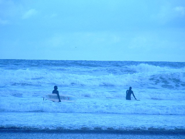
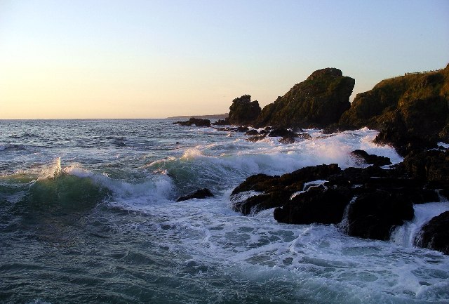
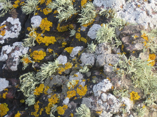
The island is primarily known for its rugged and picturesque landscape. It is characterized by steep cliffs that line its coastline, providing stunning views of the surrounding sea. The island is also home to a variety of wildlife, including seabirds such as puffins and Guillemots.
Neptune has a rich history dating back centuries. It was once inhabited by a small fishing community, but the population gradually declined, and the island was eventually abandoned in the early 20th century. Today, the ruins of the old village can still be seen, adding to the island's charm and intrigue.
Access to Neptune is limited, as there are no regular ferry services or other means of transportation to the island. However, it is occasionally visited by adventurous travelers and nature enthusiasts who are drawn to its untouched beauty and tranquility.
Despite its remote location, Neptune offers a unique experience for those willing to make the journey. Its rugged landscape, rich history, and abundant wildlife make it a hidden gem in the Berwickshire region, providing a glimpse into the untamed beauty of Scotland's coastal islands.
If you have any feedback on the listing, please let us know in the comments section below.
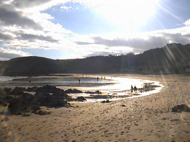
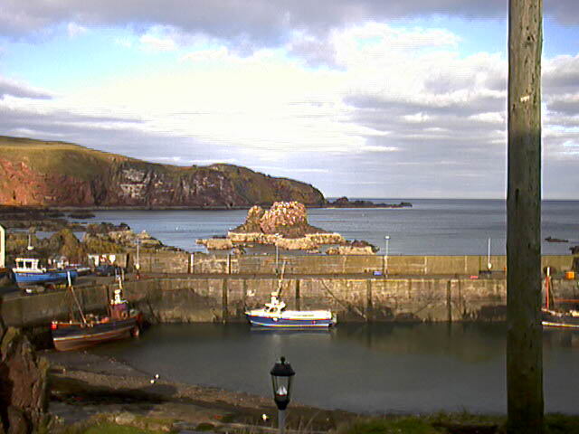
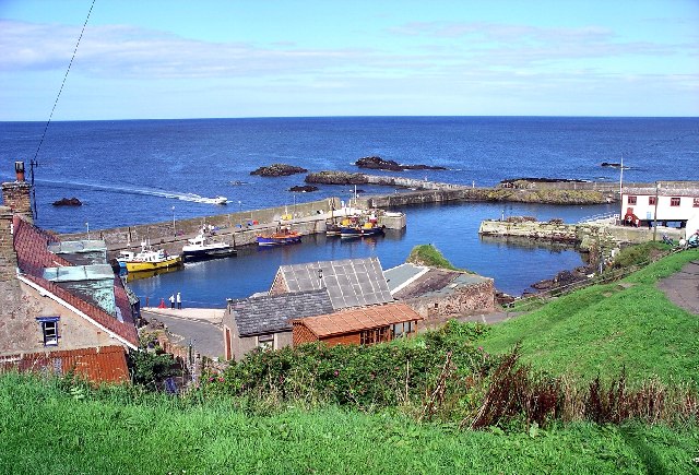
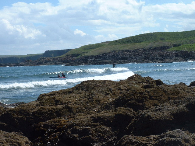
Neptune Images
Images are sourced within 2km of 55.895971/-2.1270516 or Grid Reference NT9266. Thanks to Geograph Open Source API. All images are credited.


Neptune is located at Grid Ref: NT9266 (Lat: 55.895971, Lng: -2.1270516)
Unitary Authority: The Scottish Borders
Police Authority: The Lothians and Scottish Borders
What 3 Words
///albums.speech.swims. Near Eyemouth, Scottish Borders
Nearby Locations
Related Wikis
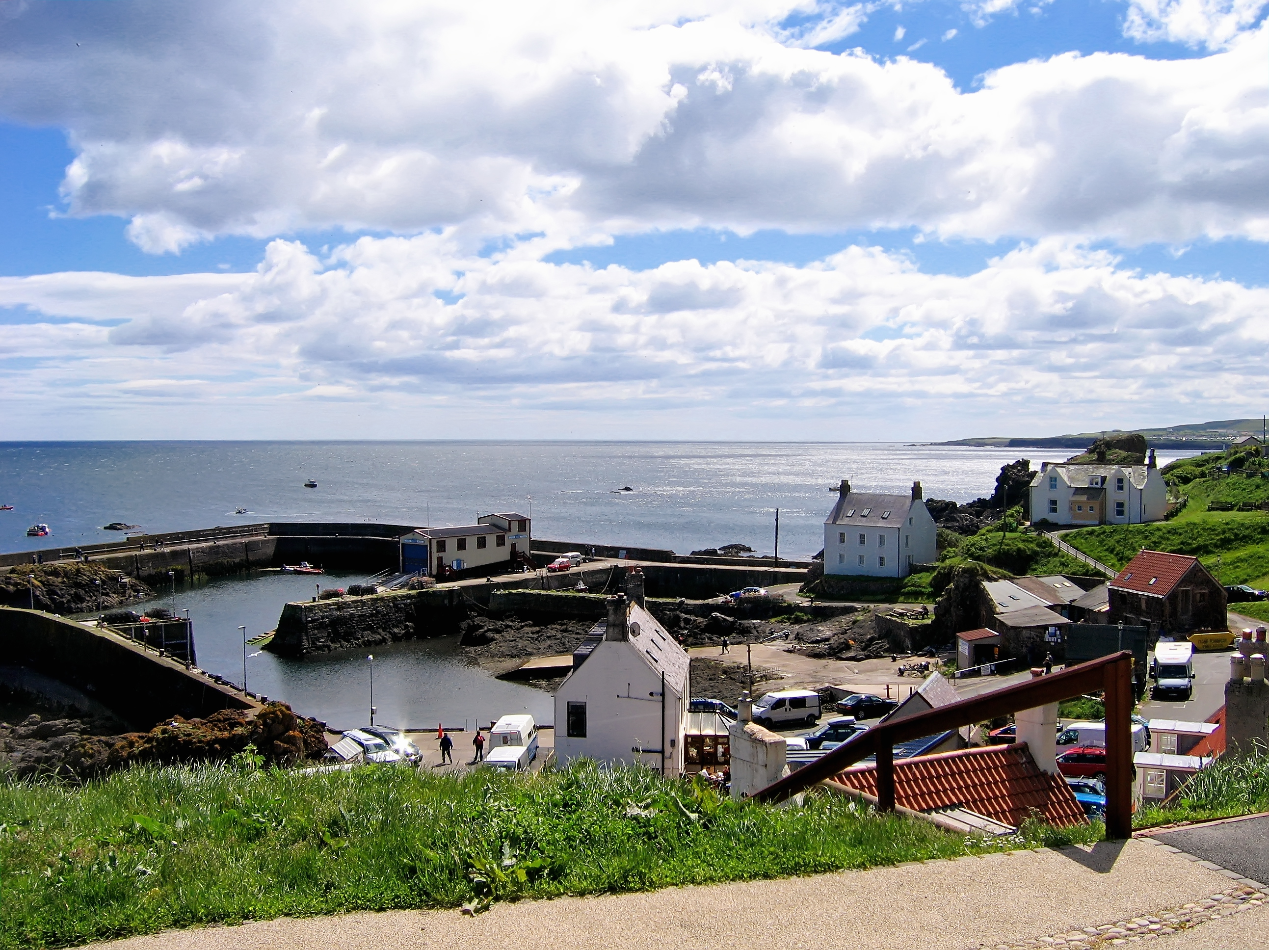
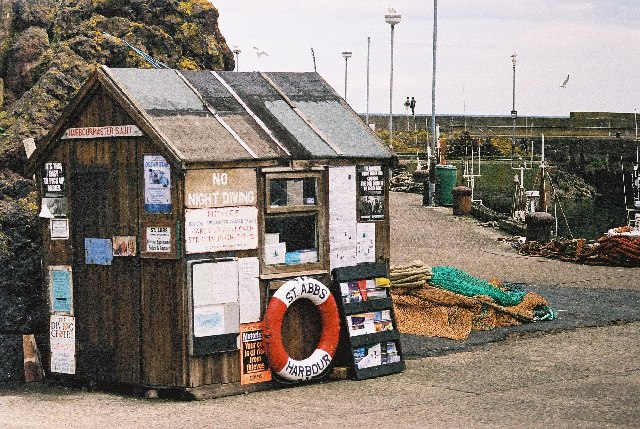
St Abbs
St Abbs is a small fishing village on the southeastern coast of Scotland, within the Coldingham parish of Scottish Borders. The village was originally...

St Abbs Lifeboat Station
St Abbs Lifeboat is an independent marine-rescue facility in St Abbs, Berwickshire, Scotland. == Independent lifeboat == St Abbs Lifeboat is run as an...

St. Abbs and Eyemouth Voluntary Marine Reserve
St. Abbs and Eyemouth Voluntary Marine Reserve is a Voluntary Marine Reserve—the first established in the United Kingdom. Located in the Scottish Borders...
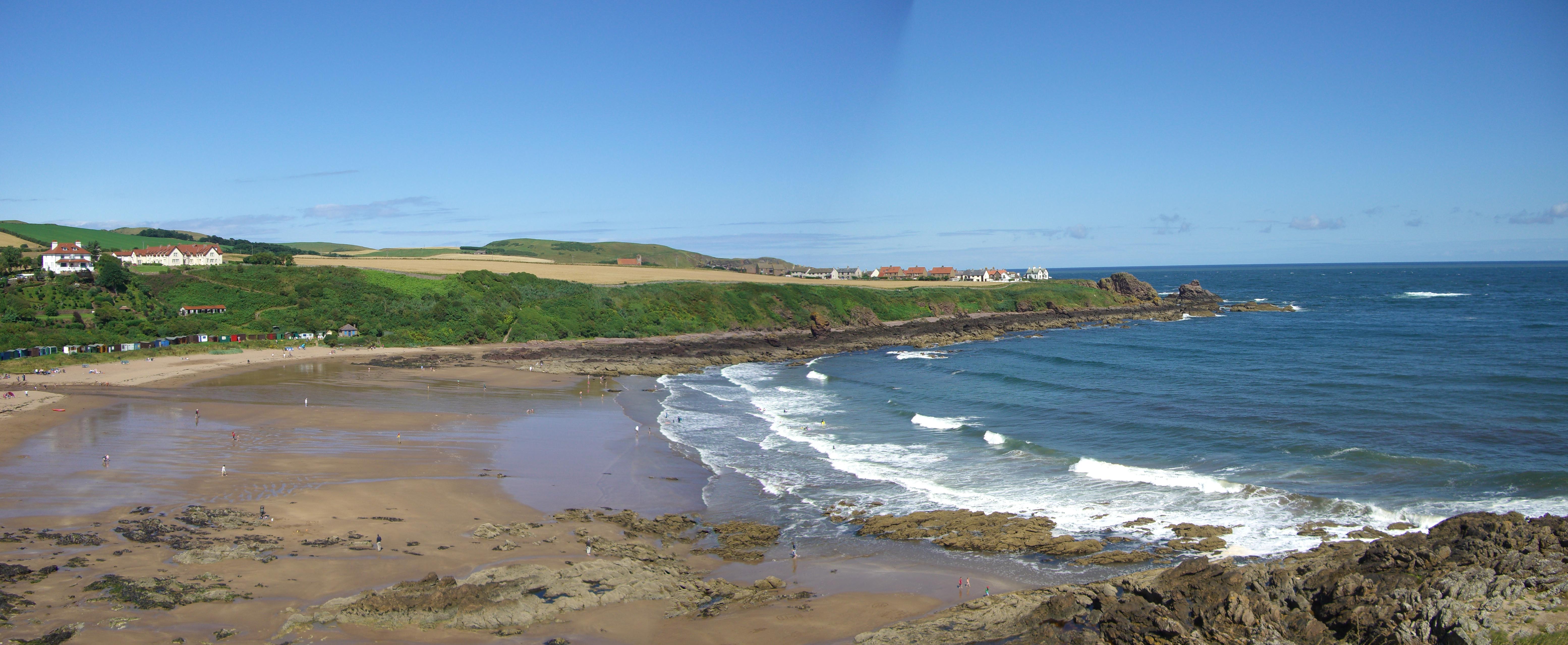
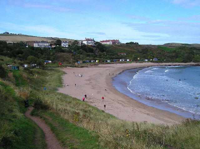
Coldingham Bay
Coldingham Bay is an inlet in the North Sea coast, just over three kilometres north of the town of Eyemouth in the Scottish Borders area of Scotland. It...
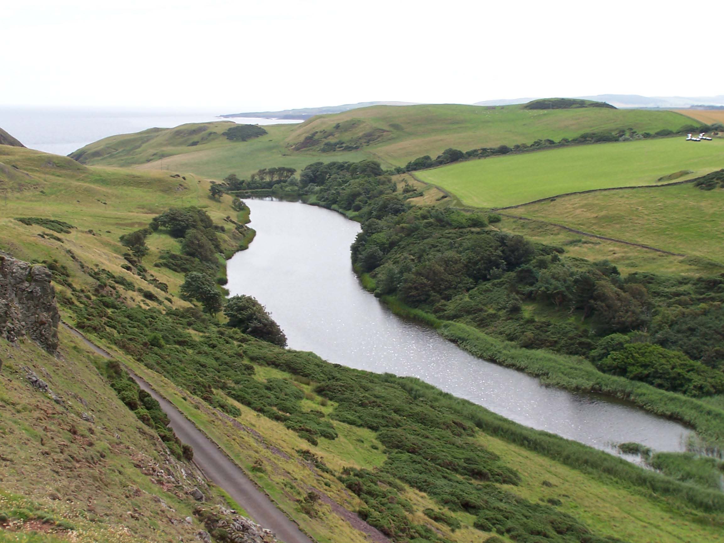
Mire Loch
Mire Loch is a man made freshwater loch situated on St Abb's Head in the Scottish Borders, just over a kilometre NW of the village of St. Abbs at grid...
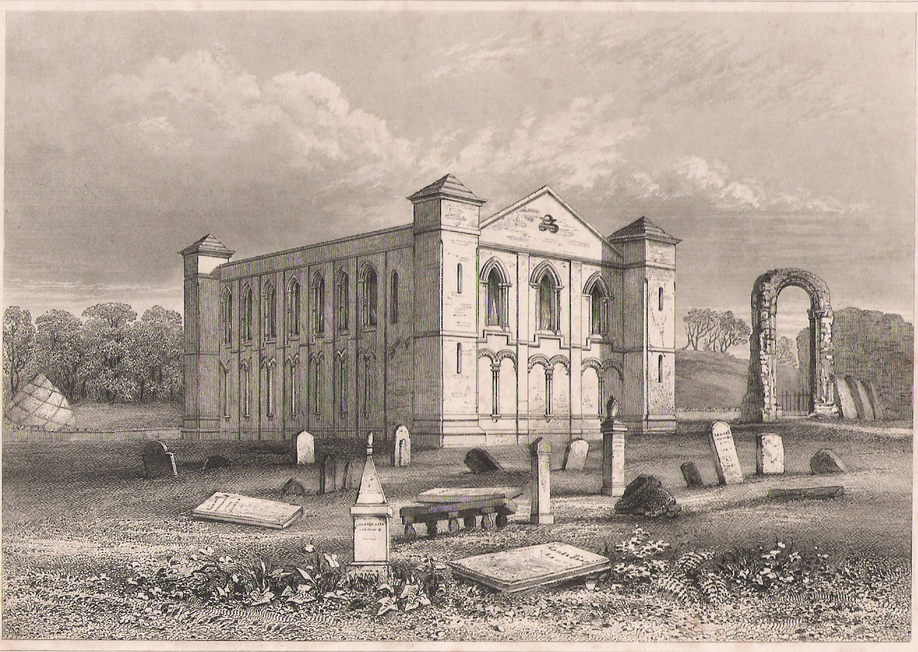
Coldingham Priory
Coldingham Priory was a house of Benedictine monks. It lies on the south-east coast of Scotland, in the village of Coldingham, Berwickshire. Coldingham...

St Abb's Head Lighthouse
St Abb's Head Lighthouse stands on the cliffs at the rocky promontory of St Abb's Head, near the village of St Abbs in Berwickshire. A signal station was...

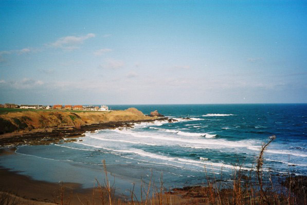
St Abb's Head
St Abb's Head is a rocky promontory by the village of St Abbs in Scottish Borders, Scotland, and a national nature reserve administered by the National...
Nearby Amenities
Located within 500m of 55.895971,-2.1270516Have you been to Neptune?
Leave your review of Neptune below (or comments, questions and feedback).