Little Frith

Settlement in Kent Swale

England

Little Frith

Hurst Farm, east of Warren Street Viewed from Bunce Court Road.
Hurst Farm, east of Warren Street Credit: pam fray

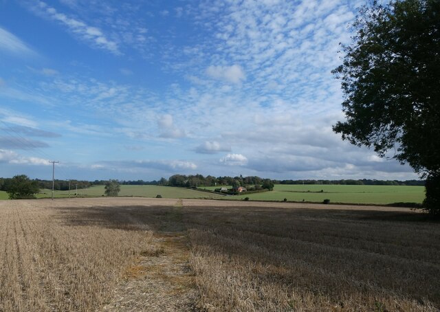
Little Frith is a small village located in the county of Kent, England. Situated in the southeastern part of the county, it is nestled amidst the picturesque countryside, surrounded by rolling green hills and fields. The village is part of the larger district of Tonbridge and Malling.

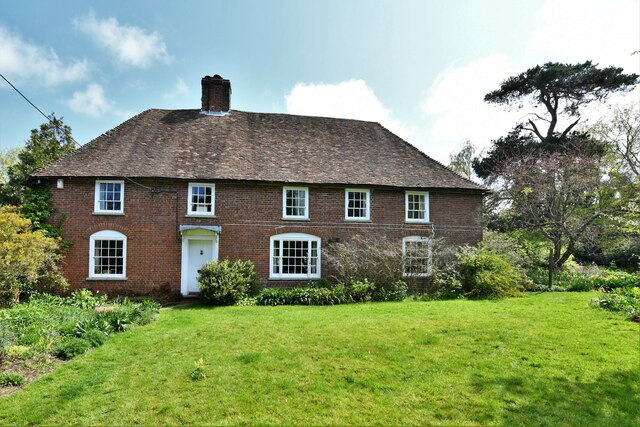
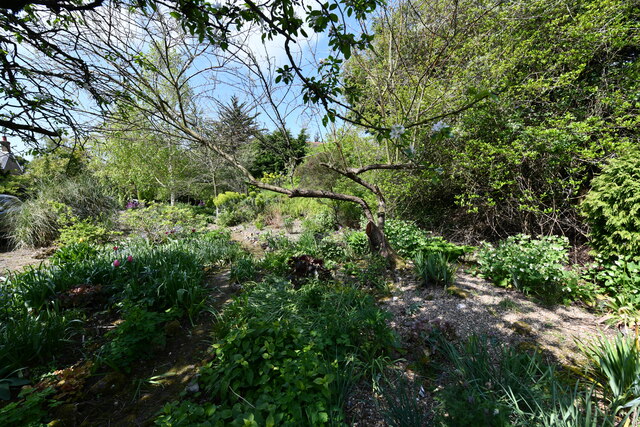
With a population of around 500 residents, Little Frith exudes a peaceful and tranquil ambiance, making it an ideal place for those seeking a rural lifestyle. The village is characterized by its charming architecture, predominantly consisting of traditional cottages and period houses. These properties, along with the well-maintained gardens and quaint streets, contribute to the village's undeniable charm.

Little Frith benefits from its close proximity to several amenities. The nearby town of Tonbridge, located just a few miles away, offers a range of shopping facilities, supermarkets, and restaurants. The village also has a local pub, providing a cozy spot for residents to socialize and enjoy a drink or a meal.

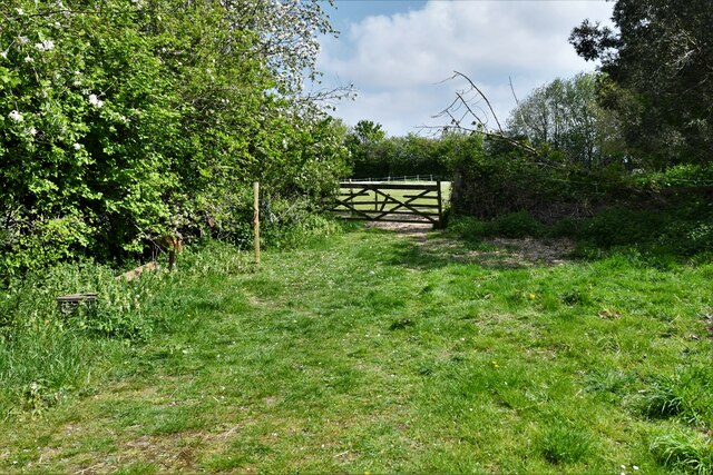
Nature lovers will appreciate the abundance of walking and cycling trails surrounding Little Frith. The area is known for its beautiful landscapes, making it an attractive destination for outdoor activities and exploration. Additionally, the village is well-connected to the wider region, with good transport links to nearby towns and cities.

In summary, Little Frith is a charming rural village in Kent that offers a peaceful and idyllic setting. With its quaint architecture, beautiful surroundings, and convenient amenities, it is an appealing place to reside for those seeking a tranquil lifestyle.

If you have any feedback on the listing, please let us know in the comments section below.
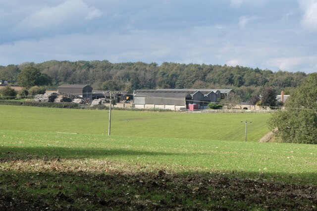
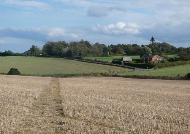
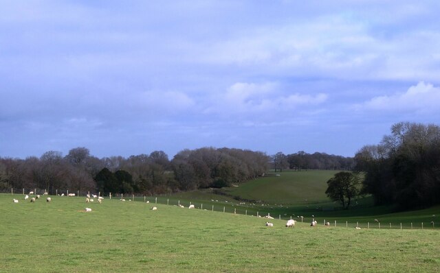
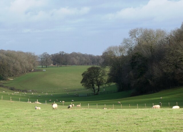
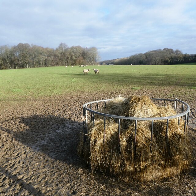
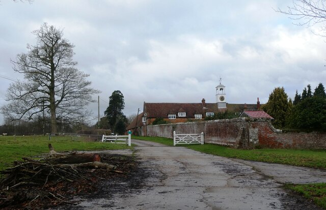
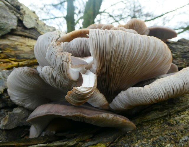
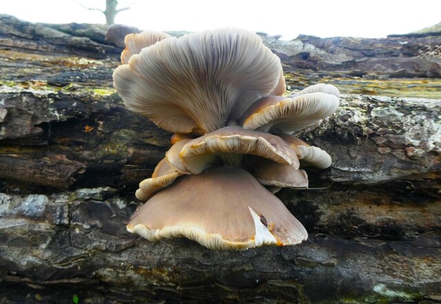
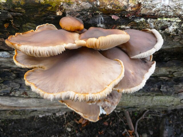
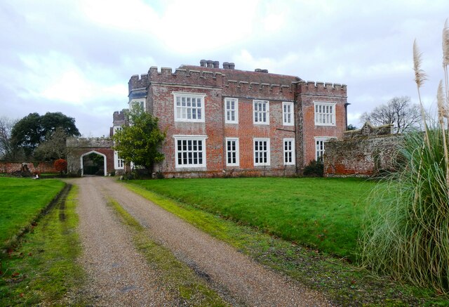
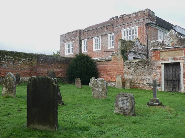
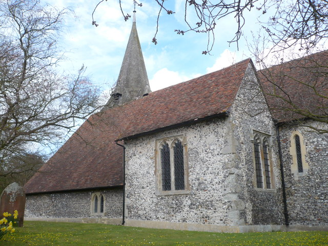
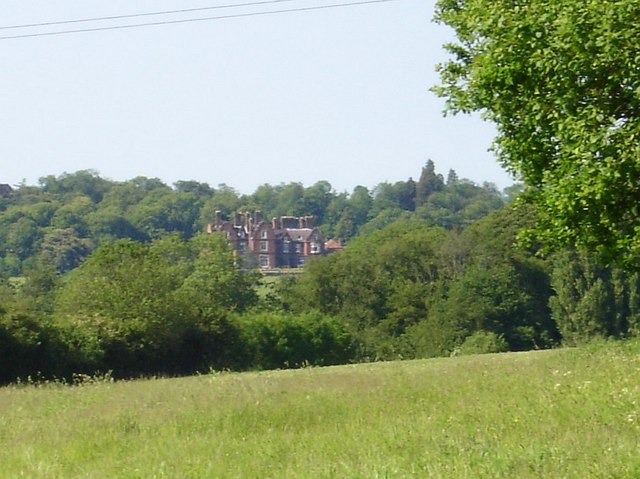
Little Frith Images

Images are sourced within 2km of 51.261142/0.77913698 or Grid Reference TQ9455. Thanks to Geograph Open Source API. All images are credited.

Hurst Farm, east of Warren Street Viewed from Bunce Court Road.
Hurst Farm, east of Warren Street
Viewed from Bunce Court Road.
Bunce Court Old House, near Warren Street On Bunce Court Road.
Bunce Court Old House, near Warren Street
On Bunce Court Road.
Plaque to Anna Essinger, Bunce Court Erected by the Association of Jewish Refugees. <span class="nowrap"><a title="https://en.wikipedia.org/wiki/Anna_Essinger" rel="nofollow ugc noopener" href="https://en.wikipedia.org/wiki/Anna_Essinger">Link</a><img style="margin-left:2px;" alt="External link" title="External link - shift click to open in new window" src="https://s1.geograph.org.uk/img/external.png" width="10" height="10"/></span>
Plaque to Anna Essinger, Bunce Court
Erected by the Association of Jewish Refugees. LinkExternal link
Bunce Court Road Leading to Warren Street.
Bunce Court Road
Leading to Warren Street.
Footpath running between Bunce Court Road and Warren Street Blossomer House is on the right.
Footpath running between Bunce Court Road and Warren Street
Blossomer House is on the right.
Footpath running between Bunce Court Road and Warren Street Blossomer House is in the distance.
Footpath running between Bunce Court Road and Warren Street
Blossomer House is in the distance.
Eastling: Frith farmhouse
Eastling: Small field
Eastling: Frith farmhouse garden
Valley Farm, Otterden From the lane running between Stalisfield Road and Rigshill Road.
Valley Farm, Otterden
From the lane running between Stalisfield Road and Rigshill Road.
Valley Farm, Otterden From the lane running between Stalisfield Road and Rigshill Road.
Valley Farm, Otterden
From the lane running between Stalisfield Road and Rigshill Road.
Valley Farm, Otterden The sheep looking back in the mid distance have just run away from the feeding bin.
Valley Farm, Otterden
The sheep looking back in the mid distance have just run away from the feeding bin.
Otterden Place The track through the gate leads to Hurstwood Road. Otterden Place is an early 17th-century estate with a house and parkland. The park was laid out during the mid-18th century.
Otterden Place
The track through the gate leads to Hurstwood Road. Otterden Place is an early 17th-century estate with a house and parkland. The park was laid out during the mid-18th century.
Fungus, Otterden Place On a rotting log near St. Lawrence's Cnurch. Otterden Place is an early 17th-century estate with a house and parkland. The park was laid out during the mid-18th century.
Fungus, Otterden Place
On a rotting log near St. Lawrence's Cnurch. Otterden Place is an early 17th-century estate with a house and parkland. The park was laid out during the mid-18th century.
Fungus, Otterden Place On a rotting log near St. Lawrence's Church. Otterden Place is an early 17th-century estate with a house and parkland. The park was laid out during the mid-18th century.
Fungus, Otterden Place
On a rotting log near St. Lawrence's Church. Otterden Place is an early 17th-century estate with a house and parkland. The park was laid out during the mid-18th century.
Otterden Place Otterden Place is an early 17th-century estate with a house and parkland. The park was laid out during the mid-18th century. The mansion, GV II* listed was built by Sir Anthony Aucher in mid 16th century, altered early 18th century and 1787-88. Altered and partly rebuilt by William Pilkington for Granville Hastings Wheler 1801-3.
Otterden Place
Otterden Place is an early 17th-century estate with a house and parkland. The park was laid out during the mid-18th century. The mansion, GV II* listed was built by Sir Anthony Aucher in mid 16th century, altered early 18th century and 1787-88. Altered and partly rebuilt by William Pilkington for Granville Hastings Wheler 1801-3.
Otterden Place Otterden Place is an early 17th-century estate with a house and parkland. The park was laid out during the mid-18th century. The mansion, GV II* listed, was built by Sir Anthony Aucher in the mid 16th century, altered early 18th century and 1787-88. Altered and partly rebuilt by William Pilkington for Granville Hastings Wheler 1801-3.Viewed from St. Lawrence's churchyard.
Otterden Place
Otterden Place is an early 17th-century estate with a house and parkland. The park was laid out during the mid-18th century. The mansion, GV II* listed, was built by Sir Anthony Aucher in the mid 16th century, altered early 18th century and 1787-88. Altered and partly rebuilt by William Pilkington for Granville Hastings Wheler 1801-3.Viewed from St. Lawrence's churchyard.
Show me another place!

Little Frith is located at Grid Ref: TQ9455 (Lat: 51.261142, Lng: 0.77913698)

Administrative County: Kent

District: Swale

Police Authority: Kent

What 3 Words

///looms.schematic.shunts. Near Lenham, Kent

Related Wikis

Newnham, Kent

Newnham is a village and civil parish in the Syndale valley in Kent, England, in the administrative borough of Swale near the medieval market town of Faversham...
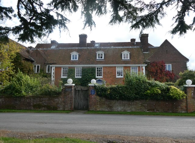
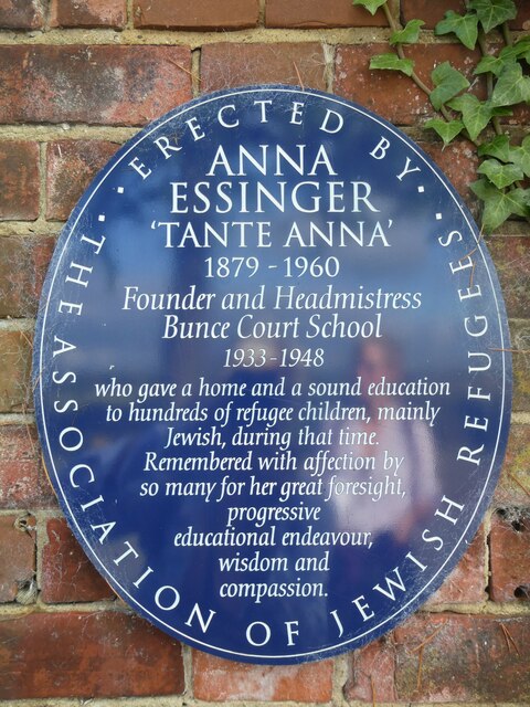
Bunce Court School

The Bunce Court School was an independent, private boarding school in the village of Otterden, in Kent, England. It was founded in 1933 by Anna Essinger...

Faversham and Mid Kent (UK Parliament constituency)

Faversham and Mid Kent is a constituency represented in the House of Commons of the UK Parliament. Since 2015, the seat has been held by Helen Whately...

Otterden

Otterden is a civil parish and village on the Kent Downs in the borough of Maidstone in Kent, England. == History == Otterden is mentioned in the Domesday...

Doddington, Kent

Doddington is a village and civil parish in the district of Swale in Kent, England. The Syndale Valley shelters the central part in the Kent Downs Area...

Wichling

Wichling (otherwise Wychling) is a village and civil parish within the local government district of Maidstone, in England. The parish lies approximately...

Pines Garden

Pines Garden is a house and large garden, located on the winding beach road from St Margaret's at Cliffe village down to the beach at St Margeret's Bay...

Doddington Place Gardens

Doddington Place Gardens is part of a 850 acres (3,400,000 m2) Edwardian estate, located on the edge of Doddington village, near Faversham in Kent, UK...

Related Videos

森林浴 SHINRIN YOKU SATURDAY #9kmby9am #forestbathing #meditation #mindfulness

森林浴 SHINRIN YOKU SATURDAY Try this… Stand next to a large tree. With your feet parallel and shoulder width apart.

PW12: Stage 12 of 15 from the Carmelite Priory in Aylesford to the Harrow Inn Hotel near Lenham

Between 31 August and 3 September 2020, I cycled the Pilgrims' Way in England, an historical route taken by pilgrims for ...

Nearby Amenities

Located within 500m of 51.261142,0.77913698
Generator Method: photovoltaic
Generator Output Electricity: yes
Generator Source: solar
Generator Type: solar_photovoltaic_panel
Location: roof
Power: generator
Lat/Long: 51.264852/0.77555
The data included in this document is from www.openstreetmap.org. The data is made available under ODbL.

Have you been to Little Frith?

Leave your review of Little Frith below (or comments, questions and feedback).