Little Fransham

Settlement in Norfolk Breckland

England

Little Fransham

Lodge Farm field A field near to Lodge Farm, Necton
Lodge Farm field Credit: Phillip Perry

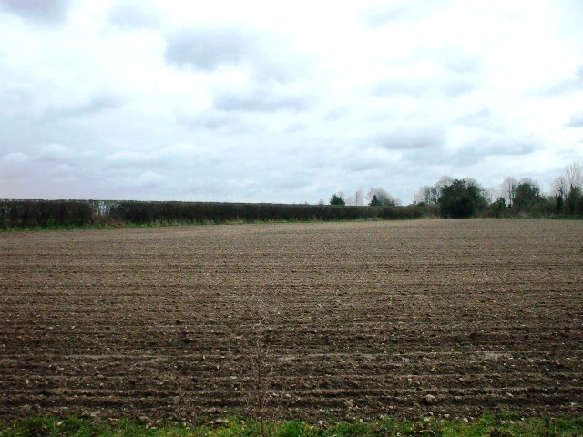
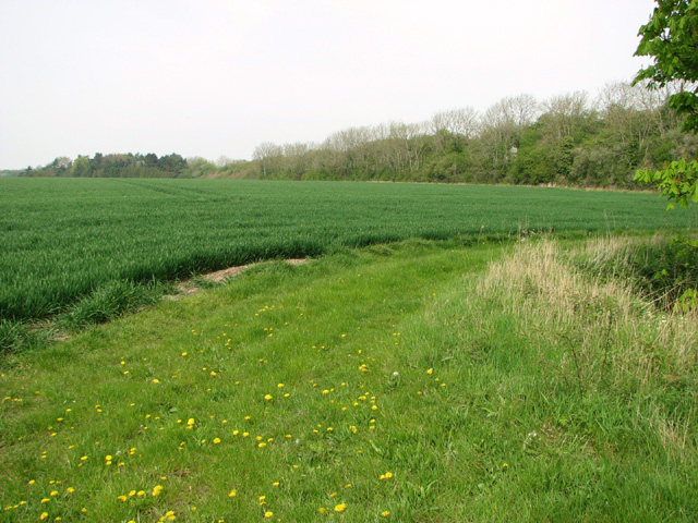
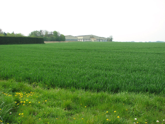
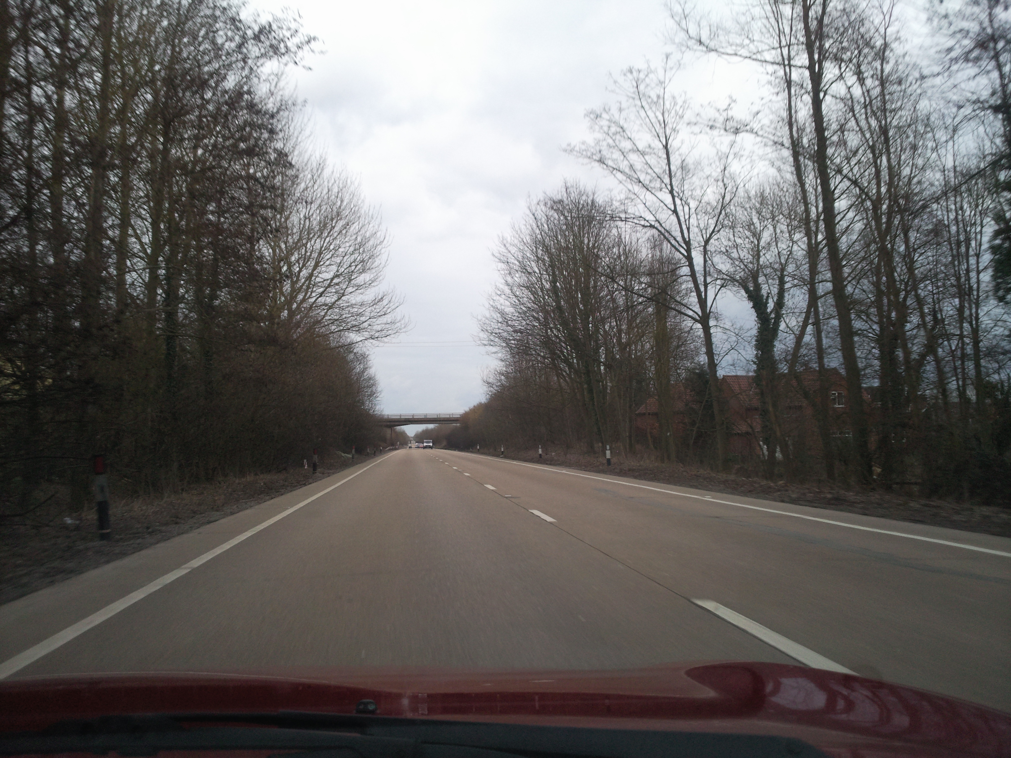
Little Fransham is a picturesque village located in the county of Norfolk, in the eastern part of England. Situated approximately 15 miles west of the historic city of Norwich, the village is surrounded by a rural landscape characterized by rolling fields, charming countryside, and a tranquil atmosphere.

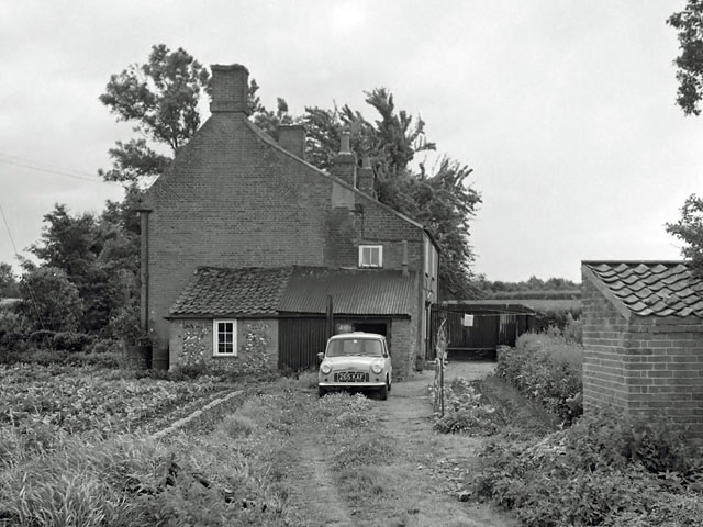
With a population of around 200 residents, Little Fransham exudes a strong sense of community and is known for its warm and welcoming atmosphere. The village is primarily residential, with a scattering of traditional cottages and houses that add to its quaint and rustic charm.

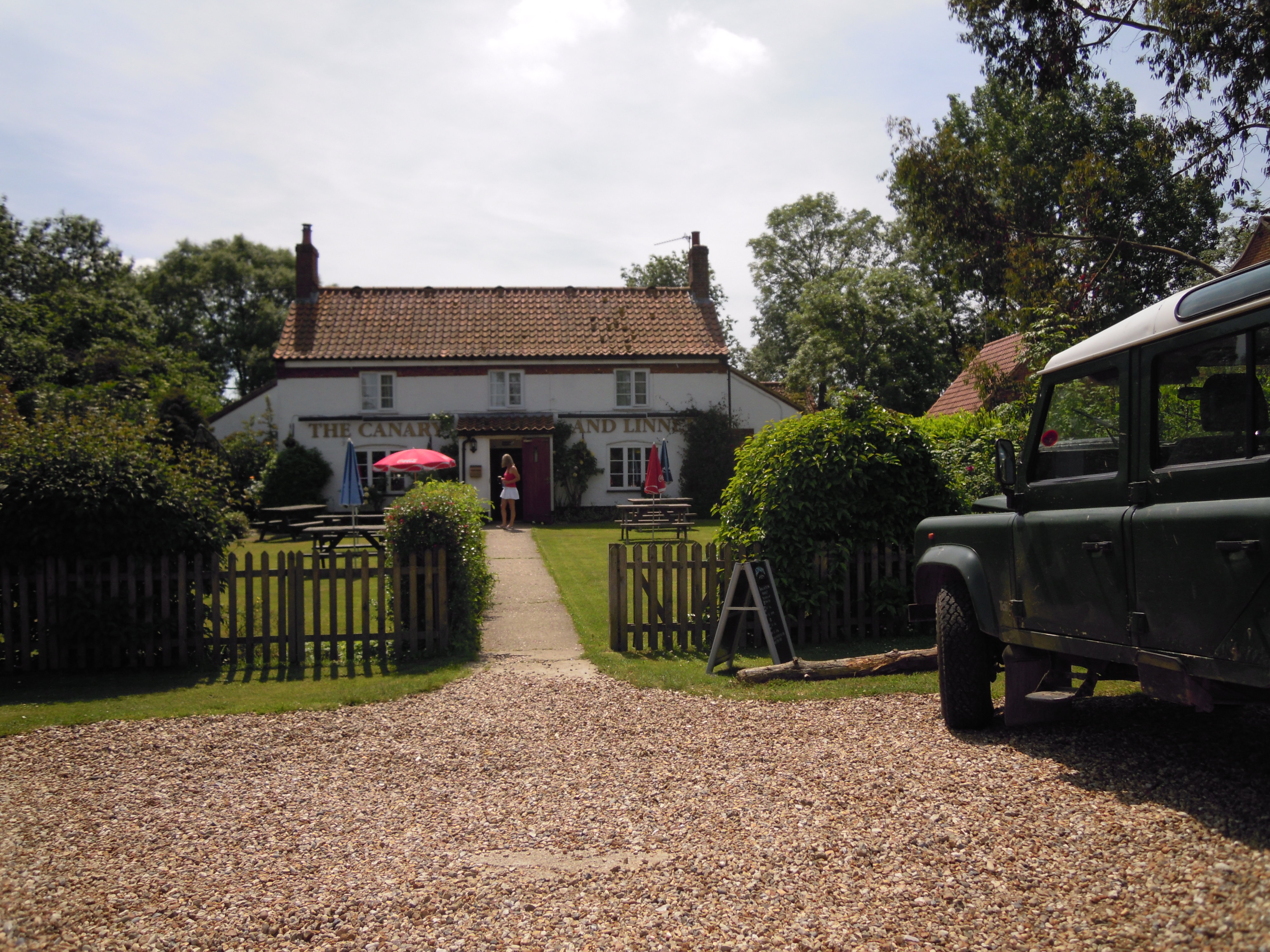
The village boasts a few local amenities, including a village hall that serves as a hub for various community activities and events. There is also a local pub, The Canary and Linnet, which offers a cozy environment for residents and visitors to enjoy a drink or a meal.

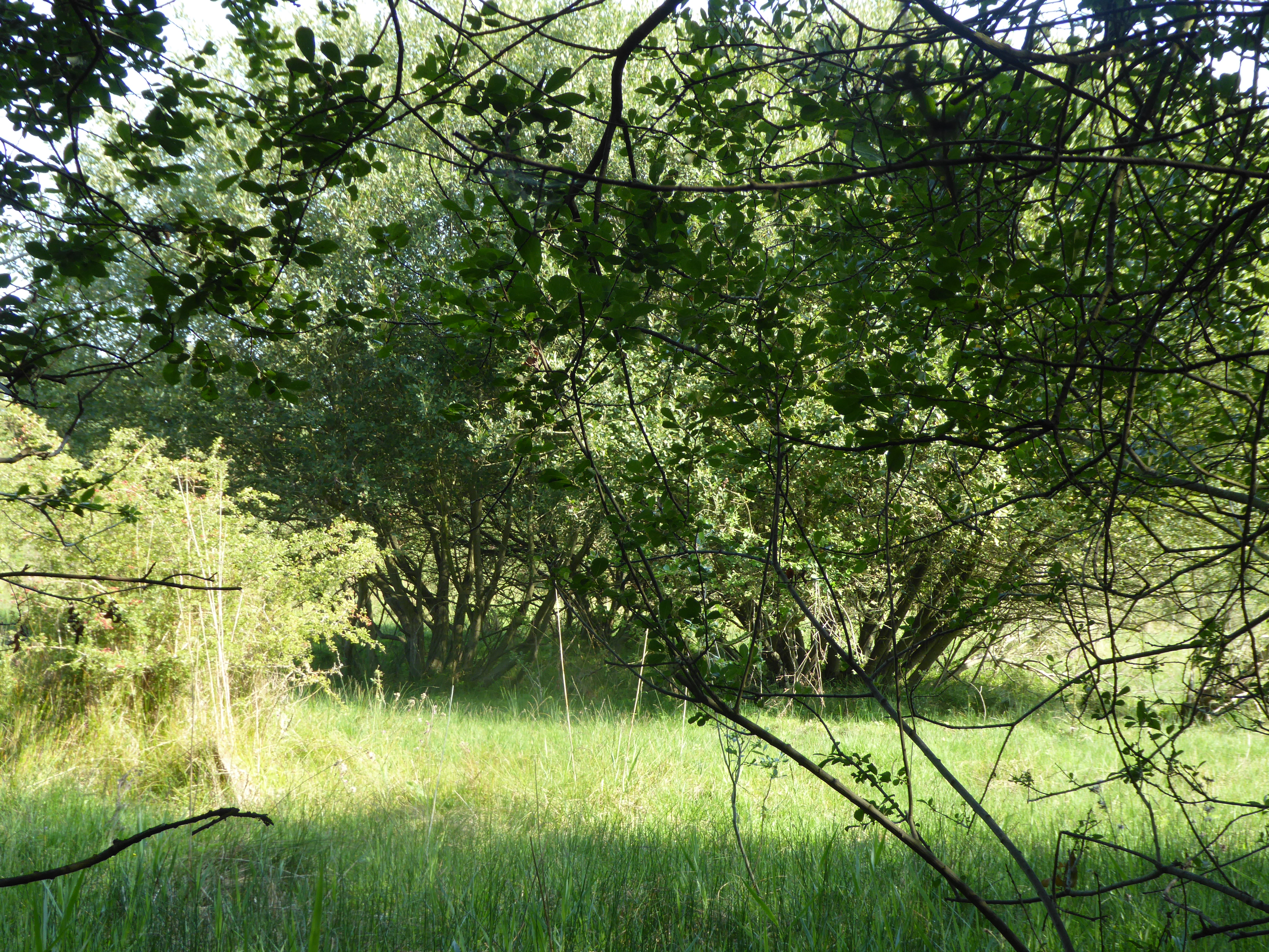
Nature enthusiasts will appreciate the village's proximity to beautiful countryside areas, such as the Fransham Pits, a local nature reserve that provides opportunities for wildlife spotting and peaceful walks. The area is also dotted with scenic footpaths, making it an ideal location for outdoor activities such as hiking and cycling.

Little Fransham is well-connected to nearby towns and cities, with good road links to Norwich and the surrounding areas. The village benefits from a peaceful and idyllic setting, making it an attractive place for those seeking a tranquil rural lifestyle within easy reach of larger urban centers.

If you have any feedback on the listing, please let us know in the comments section below.

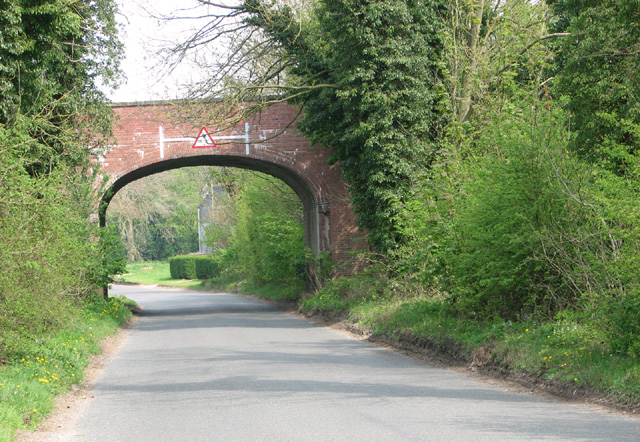
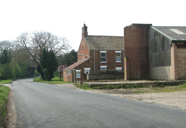
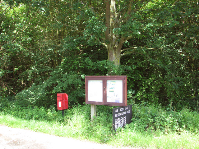
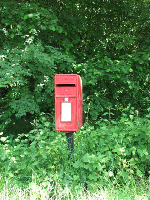
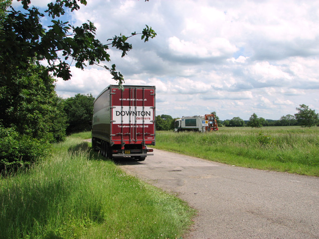
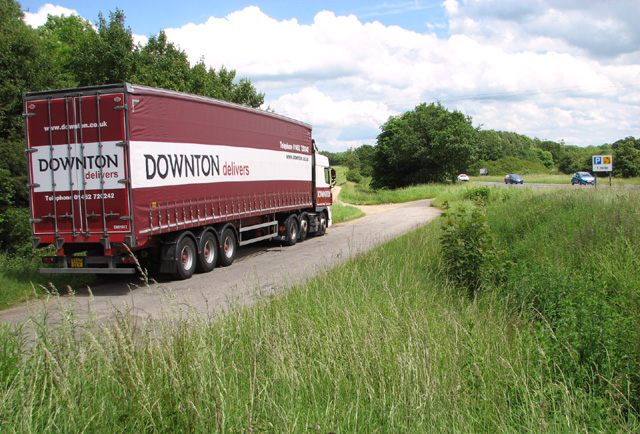
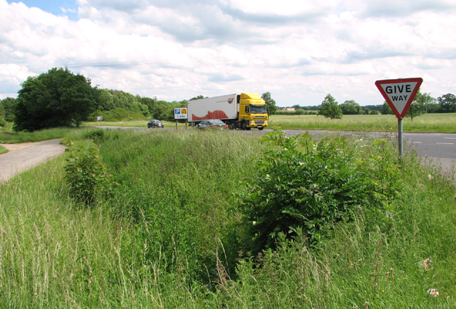
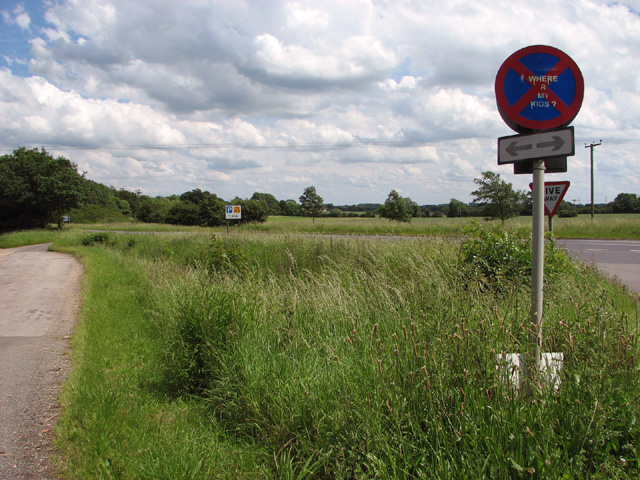
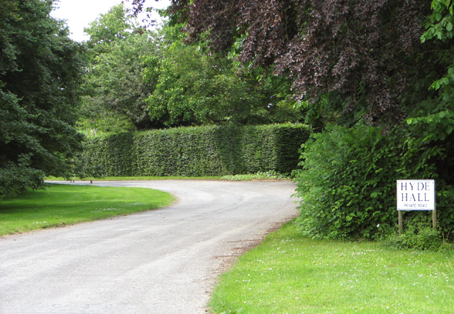
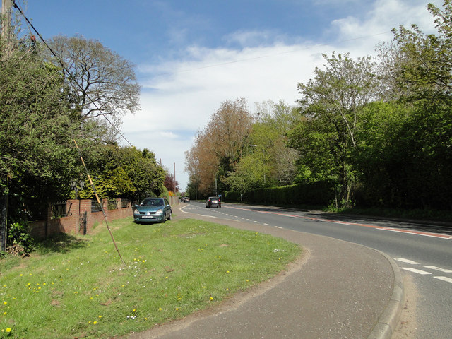
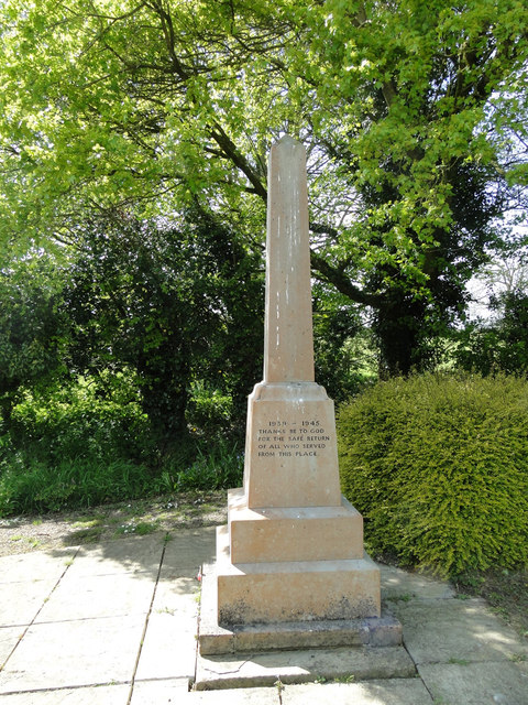
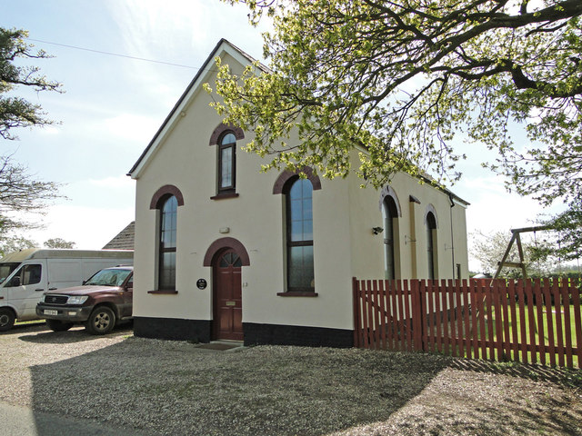
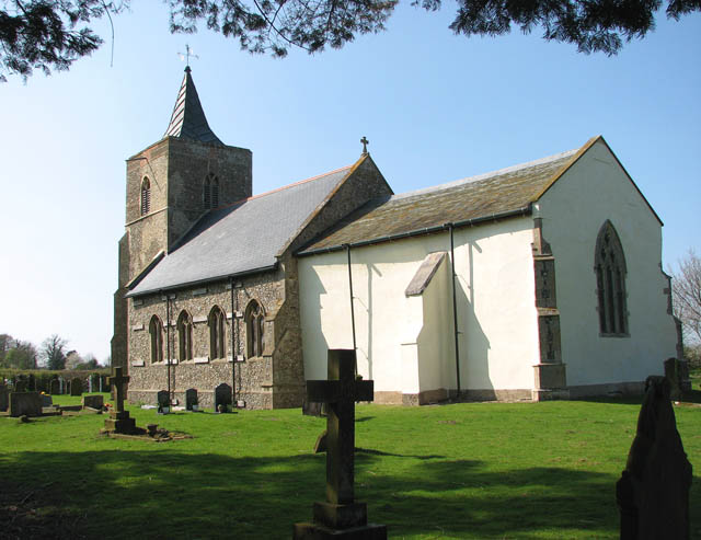
Little Fransham Images

Images are sourced within 2km of 52.67353/0.81623 or Grid Reference TF9012. Thanks to Geograph Open Source API. All images are credited.

Lodge Farm field A field near to Lodge Farm, Necton
Lodge Farm field
A field near to Lodge Farm, Necton
Lower Farm Cottages, 1966 So called in 1966, although now renamed and the semi-detached pair knocked into one. Even then, the original structure had been extended to the right, leaving the original gable profile on the right defined by the unusual use of diagonal brickwork.
Lower Farm Cottages, 1966
So called in 1966, although now renamed and the semi-detached pair knocked into one. Even then, the original structure had been extended to the right, leaving the original gable profile on the right defined by the unusual use of diagonal brickwork.
Fields by Crane's Corner
Wheat crop by Hyde Hall
Railway bridge no 2277 This railway bridge spans Dereham Lane.   It once carried the Great Eastern Railway which ran between Dereham and Swaffham. The line was closed in 1968.
Railway bridge no 2277
This railway bridge spans Dereham Lane. It once carried the Great Eastern Railway which ran between Dereham and Swaffham. The line was closed in 1968.
Dereham Lane past Home Farm at Crane's Corner
Sheds by Home Farm
Sheds by Home Farm
Postbox by the Beeston Road/A47 junction
Postbox and information board in Beeston Road
Postbox in Beeston Road For a wider view of this location see > <a title="https://www.geograph.org.uk/photo/4021684" href="https://www.geograph.org.uk/photo/4021684">Link</a> and <a title="https://www.geograph.org.uk/photo/4021683" href="https://www.geograph.org.uk/photo/4021683">Link</a>.
Postbox in Beeston Road
For a wider view of this location see > Link and Link.
Lorry in layby beside the A47 road
Layby beside the A47 road
Ditch beside the A47 road
Layby and ditch beside the A47 road
Private road to Hyde Hall
The A47 and bus stop in Little Fransham
The War Memorial in Little Fransham churchyard There are 5 names from WW1. On the reverse thanks are given for the safe return of all who left the village to serve in WW2.
The War Memorial in Little Fransham churchyard
There are 5 names from WW1. On the reverse thanks are given for the safe return of all who left the village to serve in WW2.
The Old Chapel looking very smart, at Great Fransham
Show me another place!

Little Fransham is located at Grid Ref: TF9012 (Lat: 52.67353, Lng: 0.81623)

Administrative County: Norfolk

District: Breckland

Police Authority: Norfolk

What 3 Words

///march.poses.prefer. Near Necton, Norfolk

Related Wikis

Fransham

Fransham is a civil parish in the Breckland District of the English county of Norfolk; it covers an area of 12.14 km2 (4.7 sq mi), and includes the villages...

Great Fransham

Great Fransham is a village and former civil parish in the Breckland district, in the county of Norfolk, England, roughly about an equal distance between...

Fransham railway station

Fransham railway station is a former station in Great Fransham, Norfolk. It was opened as part of the Lynn and Dereham Railway, becoming part of the East...

Wendling, Norfolk

Wendling is a village and civil parish in the English county of Norfolk. It covers an area of 5.25 km2 (2.03 sq mi) and had a population of 323 in 140...

Wendling railway station

Wendling railway station was a railway station in Wendling, Norfolk on the Great Eastern line between Dereham and King's Lynn. It closed in 1968. This...

Holly Farm Meadow, Wendling

Holly Farm Meadow, Wendling is a 2.6-hectare (6.4-acre) biological Site of Special Scientific Interest west of Dereham in Norfolk, England.This meadow...

Honeypot Wood

Honeypot Wood is a 9.5-hectare (23-acre) biological Site of Special Scientific Interest west of Dereham in Norfolk. It is managed by the Norfolk Wildlife...

Wendling Abbey

Wendling Abbey was monastic house in Norfolk, England. The Abbey once stood on marshy ground near a small rivulet (small stream) which runs to the south...

Related Videos

HOUSE TOUR UK Character Cottage! For Sale £425,000 Lt Fransham, Norfolk with Longsons Estate Agents.

HOUSE TOUR UK Character Cottage! For Sale - Price £425000 Well presented, good size gardens, UPVC double glazing, ...

HOUSE TOUR UK Barn Conversion! To Let £1,750 PCM Lt Fransham, Norfolk with Longsons Estate Agents

HOUSE TOUR UK Fantastic Barn Conversion! To Let: £1750 Per Calendar Month. Little Fransham, Norfolk. Superb two bedroom ...

Nearby Amenities

Located within 500m of 52.67353,0.81623
Bus Stop
Station Road, adj
Bench: yes
Bin: yes
Naptan AtcoCode: 2900F191
Naptan Bearing: NE
Naptan CommonName: Station Road
Naptan Indicator: adj
Naptan Landmark: Station Road
Naptan Locality: Little Fransham
Naptan NaptanCode: nfoaptjw
Naptan Street: Main Road
Naptan Verified: no
Public Transport: platform
Shelter: yes
Source: naptan_import
Lat/Long: 52.6717174/0.8109985
Bus Stop
Station Road, opp
Naptan AtcoCode: 2900F192
Naptan Bearing: SW
Naptan CommonName: Station Road
Naptan Indicator: opp
Naptan Landmark: Station Road
Naptan Locality: Little Fransham
Naptan NaptanCode: nfoaptma
Naptan Street: Main Road
Naptan Verified: no
Public Transport: platform
Source: naptan_import
Lat/Long: 52.6715899/0.8110643
Bus Stop
Phone Box, adj
Naptan AtcoCode: 2900F193
Naptan Bearing: NE
Naptan CommonName: Phone Box
Naptan Indicator: adj
Naptan Landmark: Gingerbread Cottage
Naptan Locality: Little Fransham
Naptan NaptanCode: nfoaptmd
Naptan Street: Main Road
Naptan Verified: no
Note: The First X1 does not stop here anymore.
Source: naptan_import
Lat/Long: 52.6727365/0.8139044
Lime Tree Crescent, adj
Naptan AtcoCode: 2900F194
Naptan Bearing: N
Naptan BusStopType: CUS
Naptan CommonName: Lime Tree Crescent
Naptan Indicator: adj
Naptan Landmark: Lime Tree Crescent
Naptan Locality: Little Fransham
Naptan NaptanCode: nfoaptmg
Naptan Street: Station Road
Naptan Verified: no
Source: naptan_import
Lat/Long: 52.6732937/0.8097535
Lime Tree Crescent, opp
Naptan AtcoCode: 2900F195
Naptan Bearing: S
Naptan BusStopType: CUS
Naptan CommonName: Lime Tree Crescent
Naptan Indicator: opp
Naptan Landmark: Lime Tree Crescent
Naptan Locality: Little Fransham
Naptan NaptanCode: nfoaptmj
Naptan Street: Station Road
Naptan Verified: no
Source: naptan_import
Lat/Long: 52.673237/0.8098682
Parking
Fee: no
Parking: surface
Lat/Long: 52.6728048/0.8141982
Little Fransham
Place: village
Lat/Long: 52.6725036/0.8129025
Power: pole
Transformer: distribution
Lat/Long: 52.6759373/0.8104831
Entrance: yes
Lat/Long: 52.674853/0.8120568
Entrance: main
Lat/Long: 52.6748039/0.8118063
Fransham
Colour: green
Inscription: Galfridus. 1414 A.D.
Man Made: village_sign
Material: metal
Lat/Long: 52.672883/0.8142664
Post Box
Operator: Royal Mail
Operator Wikidata: Q638098
Post Box Mounting: pier
Post Box Type: lamp
Royal Cypher: EIIR
Royal Cypher Wikidata: Q33102113
Lat/Long: 52.6716429/0.8107889
Give Way
Lat/Long: 52.6714315/0.8103222
Power: pole
Lat/Long: 52.6712818/0.8214775
Power: pole
Lat/Long: 52.6717323/0.8226657
Power: pole
Lat/Long: 52.669526/0.8180442
Power: pole
Lat/Long: 52.6701888/0.8180174
Power: pole
Transformer: distribution
Lat/Long: 52.6710167/0.8193102
Power: pole
Lat/Long: 52.6708606/0.8179665
Power: pole
Lat/Long: 52.6706995/0.8167756
Power: pole
Lat/Long: 52.6705466/0.8155847
Power: pole
Lat/Long: 52.6710069/0.8153513
Power: pole
Lat/Long: 52.6719413/0.8148497
Power: pole
Lat/Long: 52.6727789/0.8145668
Power: pole
Transformer: distribution
Lat/Long: 52.6729448/0.8143146
Barrier: yes
Lat/Long: 52.670811/0.8115117
Communication Mobile Phone: yes
Man Made: mast
Material: metal
Operator: Three UK;EE
Tower Construction: lattice
Tower Type: communication
Lat/Long: 52.6702246/0.8196522
The data included in this document is from www.openstreetmap.org. The data is made available under ODbL.

Have you been to Little Fransham?

Leave your review of Little Fransham below (or comments, questions and feedback).