Bevere Island

Island in Worcestershire Wychavon

England

Bevere Island

Hawford dovecot Hawford dovecote, a National Trust property, close to the A 449 trunk road, north of Worcester
Hawford dovecot Credit: Richard Greenwood

Bevere Island is a small landmass located in the county of Worcestershire, England. Situated in the River Severn, it is an island that spans an area of around 2.5 acres.

The island is accessed via a single bridge that connects it to the mainland. It is primarily covered in lush green vegetation, with trees and shrubs dotting the landscape. The surrounding river provides a picturesque view, as well as a serene and tranquil atmosphere.

Bevere Island is known for its rich history, dating back centuries. It has been inhabited since at least the 12th century when it was used as a hunting ground for the nearby Bevere House. Over the years, it has served various purposes, including as a location for farming and grazing livestock.

Today, Bevere Island is a popular spot for nature enthusiasts and those seeking tranquility away from the bustling city life. Its natural beauty and peaceful surroundings make it a perfect destination for picnics, walks, and bird watching. The island is also home to a diverse range of plant and animal species, contributing to its ecological significance.

Although small in size, Bevere Island holds a unique charm with its scenic landscapes and historical significance. It continues to attract visitors who appreciate its natural beauty and seek solace in its peaceful ambiance.

If you have any feedback on the listing, please let us know in the comments section below.

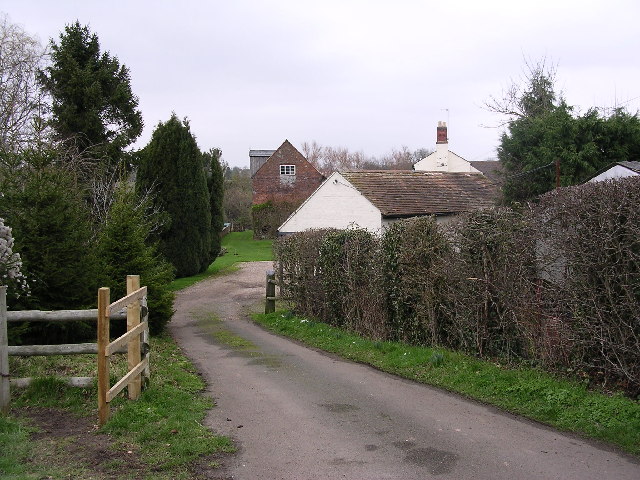
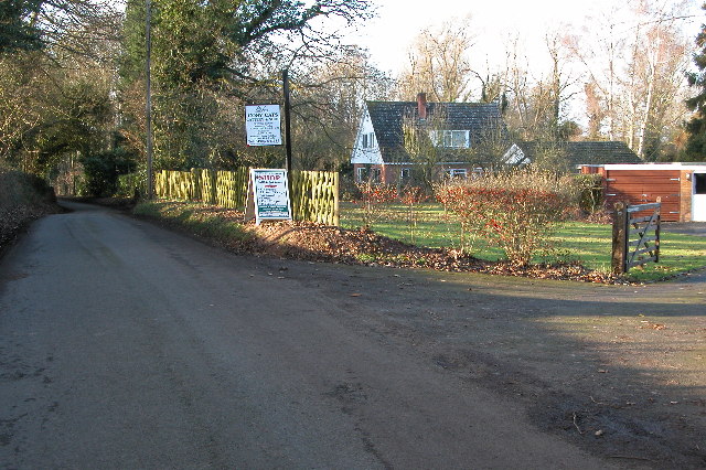
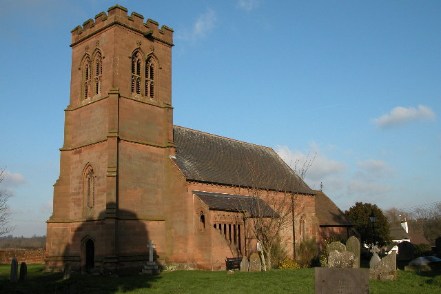
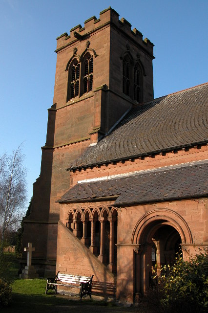
Bevere Island Images

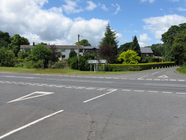
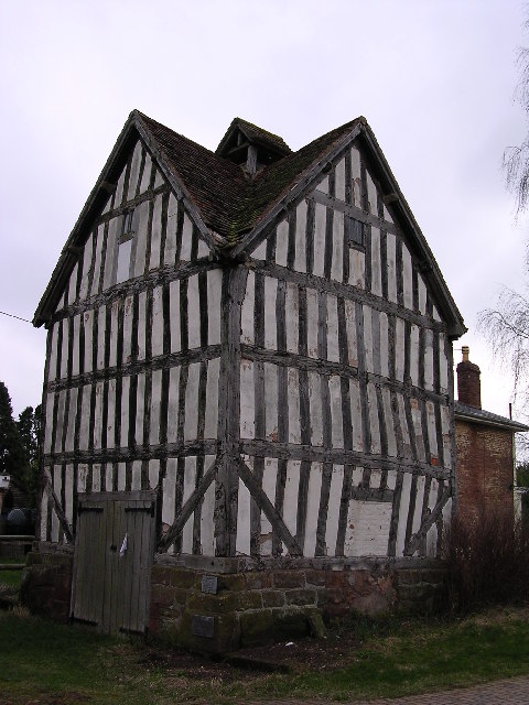
Images are sourced within 2km of 52.23374/-2.2393451 or Grid Reference SO8359. Thanks to Geograph Open Source API. All images are credited.

Hawford dovecot Hawford dovecote, a National Trust property, close to the A 449 trunk road, north of Worcester
Hawford dovecot
Hawford dovecote, a National Trust property, close to the A 449 trunk road, north of Worcester
Mildenham mill Mildenham mill on the Droitwich canal/River Salwarpe
Mildenham mill
Mildenham mill on the Droitwich canal/River Salwarpe
Cosy Cats Cattery The cattery is on Dark Lane to Sinton Green.
Cosy Cats Cattery
The cattery is on Dark Lane to Sinton Green.
St Bartholomew's Church, Grimley
St Bartholomew 's Church, Grimley
Church Farm quarry Still extracting gravel in the area this south east of the Top Barn complex of boating and fishing lakes
Church Farm quarry
Still extracting gravel in the area this south east of the Top Barn complex of boating and fishing lakes
Linacre Bridge An accommodation bridge that now seems to go across the Droitwich Barge Canal from nowhere very much to nowhere very much. There is also a large tree trunk in the roadway. It is, however, quite a pretty bridge.

According to Max Sinclair - "This bridge is probably the last surviving untouched Brindley 1770 structure standing on elm tree abutments laid horizontal - cheaper than stone". An amazing fact and I'm grateful to Max for this.
Linacre Bridge
An accommodation bridge that now seems to go across the Droitwich Barge Canal from nowhere very much to nowhere very much. There is also a large tree trunk in the roadway. It is, however, quite a pretty bridge. According to Max Sinclair - "This bridge is probably the last surviving untouched Brindley 1770 structure standing on elm tree abutments laid horizontal - cheaper than stone". An amazing fact and I'm grateful to Max for this.
A449 over river Salwarpe.
Droitwich Barge Canal, lock No. 7 This is ruinous but clearance of the rampant undergrowth has commenced prior to its restoration, allegedly in 2009. Remains of lock gate and ground paddles can be seen. The chamber has lost a few courses at the top but the upstream cill looks reasonable.
Droitwich Barge Canal, lock No. 7
This is ruinous but clearance of the rampant undergrowth has commenced prior to its restoration, allegedly in 2009. Remains of lock gate and ground paddles can be seen. The chamber has lost a few courses at the top but the upstream cill looks reasonable.
Mildenham Mill A no trespass picture. I wonder if the wheel and machinery survive here. This is powered by the Salwarpe and is one of three mills west of Droitwich.

J Mader has contacted me to point out that part of the wheel is indeed visible in the photograph on the lower left side of the building under a brick ark and is probably a breastshot or undershot wheel. I'm grateful for that (I hadn't noticed).
Mildenham Mill
A no trespass picture. I wonder if the wheel and machinery survive here. This is powered by the Salwarpe and is one of three mills west of Droitwich. J Mader has contacted me to point out that part of the wheel is indeed visible in the photograph on the lower left side of the building under a brick ark and is probably a breastshot or undershot wheel. I'm grateful for that (I hadn't noticed).
Droitwich Barge Canal, lock No. 6 Part restored with stop planks on the upstream side and new gates. This is by Mildenham Mill
Droitwich Barge Canal, lock No. 6
Part restored with stop planks on the upstream side and new gates. This is by Mildenham Mill
Droitwich Barge Canal, bridge at Mildenham This provides access to Mildenham Mill. Lock No. 6 is just on the upstream side.
Droitwich Barge Canal, bridge at Mildenham
This provides access to Mildenham Mill. Lock No. 6 is just on the upstream side.
Droitwich Barge Canal emerges from under the A449 The canal is culverted on a long oblique course under this major trunk road. This is going to be an expensive job and it's hard to see how there won't be some traffic disruption. They say the navigation will be restored in 2009 and there will then be a pleasant canal ring round Worcester using the Birmingham & Worcester, Droitwich Junction Canal, Droitwich Barge Canal and the River Severn.
Droitwich Barge Canal emerges from under the A449
The canal is culverted on a long oblique course under this major trunk road. This is going to be an expensive job and it's hard to see how there won't be some traffic disruption. They say the navigation will be restored in 2009 and there will then be a pleasant canal ring round Worcester using the Birmingham & Worcester, Droitwich Junction Canal, Droitwich Barge Canal and the River Severn.
The Droitwich Barge Canal This is the area where it emerges from a long oblique culvert under the A449. It can just be seen in the centre of the picture.
The Droitwich Barge Canal
This is the area where it emerges from a long oblique culvert under the A449. It can just be seen in the centre of the picture.
A443 - Sinton Green crossroads Seen from the road to Grimley.
A443 - Sinton Green crossroads
Seen from the road to Grimley.
Grimley parish church
Grimley - Wagon Wheel Inn
Across the Severn
Across the Severn
Show me another place!

Bevere Island is located at Grid Ref: SO8359 (Lat: 52.23374, Lng: -2.2393451)

Administrative County: Worcestershire

District: Wychavon

Police Authority: West Mercia

What 3 Words

///shady.helps.dime. Near Hallow, Worcestershire

Nearby Locations

Bevere Island

Related Wikis

River Salwarpe

The River Salwarpe is a 20.4 miles (32.8 km) long river in Worcestershire, England. It is a left bank tributary of the River Severn, which it joins near...

Grimley, Worcestershire

Grimley is a village and civil parish (grid reference SO8360) in the Malvern Hills District in the county of Worcestershire, England about 3 miles (4...

A449 road

The A449 is a major road in the United Kingdom. It runs north from junction 24 of the A48 road at Newport in South Wales to Stafford in Staffordshire....

Hawford

Hawford is a hamlet in Worcestershire, England. It falls within two parishes; North Claines and Ombersley and Doverdale in the outer suburbs of Worcester...

Nearby Amenities

Located within 500m of 52.23374,-2.2393451
Seamark Type: gate
Waterway: lock_gate
Lat/Long: 52.2323428/-2.2413583
Seamark Type: gate
Waterway: lock_gate
Lat/Long: 52.2326002/-2.2412261
Barrier: kissing_gate
Foot: yes
Lat/Long: 52.2302976/-2.2417297
Barrier: kissing_gate
Foot: yes
Lat/Long: 52.2340242/-2.2373744
Barrier: stile
Foot: yes
Lat/Long: 52.235261/-2.2343652
Barrier: kissing_gate
Foot: yes
Lat/Long: 52.2302135/-2.2425118
Barrier: kissing_gate
Foot: yes
Lat/Long: 52.2346216/-2.2396589
Barrier: kissing_gate
Foot: yes
Lat/Long: 52.2359771/-2.2348128
Turning Circle
Lat/Long: 52.2333796/-2.2352389
Barrier: kissing_gate
Foot: yes
Lat/Long: 52.2308817/-2.2414193
Bevere House
Power: pole
Transformer: distribution
Voltage Primary: 11000
Lat/Long: 52.2324856/-2.2341219
Power: pole
Lat/Long: 52.2331764/-2.2334674
Power: pole
Lat/Long: 52.2335903/-2.2327003
Bevere Lock
Power: pole
Transformer: distribution
Voltage Primary: 11000
Lat/Long: 52.2324039/-2.2416736
Camp Lane Grimley - Trans
Power: pole
Transformer: distribution
Voltage Primary: 11000
Lat/Long: 52.2336597/-2.2410728
Power: transformer
Transformer: distribution
Voltage Primary: 11000
Lat/Long: 52.2324724/-2.2437859
Camp House Grimley - Trans
Power: pole
Transformer: distribution
Voltage Primary: 11000
Lat/Long: 52.230281/-2.2438261
The data included in this document is from www.openstreetmap.org. The data is made available under ODbL.

Have you been to Bevere Island?

Leave your review of Bevere Island below (or comments, questions and feedback).