Table Rock

Island in Gloucestershire Forest of Dean

England

Table Rock

Berkeley Power Station (decommissioned) The two reacactor towers of the old Berkeley nuclear power station.
See here <a title="https://www.geograph.org.uk/photo/2142696" href="https://www.geograph.org.uk/photo/2142696">Link</a>
Berkeley Power Station (decommissioned) Credit: Peter Randall-Cook

The requested URL returned error: 429 Too Many Requests

If you have any feedback on the listing, please let us know in the comments section below.
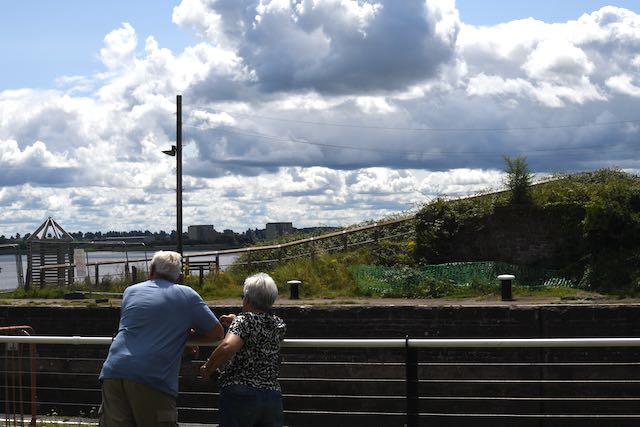
Table Rock Images

Images are sourced within 2km of 51.689207/-2.5114764 or Grid Reference ST6499. Thanks to Geograph Open Source API. All images are credited.

Berkeley Power Station (decommissioned) The two reacactor towers of the old Berkeley nuclear power station.
See here <a title="https://www.geograph.org.uk/photo/2142696" href="https://www.geograph.org.uk/photo/2142696">Link</a>
Berkeley Power Station (decommissioned)
The two reacactor towers of the old Berkeley nuclear power station. See here Link
Berkeley Power Station (disused) This former nuclear power station is being decommissioned. seen from Lydney Harbour.
Berkeley Power Station (disused)
This former nuclear power station is being decommissioned. seen from Lydney Harbour.
Berkeley power station
Berkeley Power Station from the air Picture taken from a light aircraft in about 1981
Berkeley Power Station from the air
Picture taken from a light aircraft in about 1981
Hamfield Farm, Berkeley Hamfield Farm is at the western end of Lynch Road, next to Berkeley Nuclear Power Station. This picture is taken from the footpath at the Power Station entrance, looking south-east.
Hamfield Farm, Berkeley
Hamfield Farm is at the western end of Lynch Road, next to Berkeley Nuclear Power Station. This picture is taken from the footpath at the Power Station entrance, looking south-east.
Berkeley Power Station This decommissioned power station was one of the first Nuclear stations to be built in the UK (in the early 1960s). This view is taken from the roundabout at the entrance, looking west towards the River Severn (whose water was used as a coolant).
Berkeley Power Station
This decommissioned power station was one of the first Nuclear stations to be built in the UK (in the early 1960s). This view is taken from the roundabout at the entrance, looking west towards the River Severn (whose water was used as a coolant).
Woodlands Farm, Berkeley An isolated farm in the Vale of Berkeley
Woodlands Farm, Berkeley
An isolated farm in the Vale of Berkeley
Farmland near Berkeley Power Station Looking north from Severn Lane, towards the towers of the decommissioned power station.
Farmland near Berkeley Power Station
Looking north from Severn Lane, towards the towers of the decommissioned power station.
Severn Lane, Berkeley Severn Lane is a no-through-road, ending here at Severn House Farm. Looking west along the final few yards of public road, the River Severn is invisible behind the farmhouse.
Severn Lane, Berkeley
Severn Lane is a no-through-road, ending here at Severn House Farm. Looking west along the final few yards of public road, the River Severn is invisible behind the farmhouse.
The Severn Way Looking south-west along the Severn Way, on the small section of land in this square.
The Severn Way
Looking south-west along the Severn Way, on the small section of land in this square.
From the County boundary Looking north-east from the boundary between Gloucestershire (in this picture) and South Gloucestershire. The wood and pond are beside the River Severn (to the north-west), and may have been constructed for wildfowl shooting.
From the County boundary
Looking north-east from the boundary between Gloucestershire (in this picture) and South Gloucestershire. The wood and pond are beside the River Severn (to the north-west), and may have been constructed for wildfowl shooting.
Beyond Worldsend To get to this track, we had to go beyond Worldsend Farm.  Just after we took the picture a hare ran off down the track - he is just visible in the original photograph but sadly, not here.
Beyond Worldsend
To get to this track, we had to go beyond Worldsend Farm. Just after we took the picture a hare ran off down the track - he is just visible in the original photograph but sadly, not here.
Looking back to Worldsend Farm
Oilseed Rape (Canola) Not the distinctive yellow fields of spring and early summer but almost ready for harvest.
Oilseed Rape (Canola)
Not the distinctive yellow fields of spring and early summer but almost ready for harvest.
Berkeley Power Station, viewed from Lydney Harbour Looking down the viewing hole in place at the picnic area at Lydney Harbour.
See <a href="https://www.geograph.org.uk/photo/1206930">SO6401 : Viewing rock at Lydney Harbour</a> for the rock "telescope".
Berkeley Power Station, viewed from Lydney Harbour
Looking down the viewing hole in place at the picnic area at Lydney Harbour. See SO6401 : Viewing rock at Lydney Harbour for the rock "telescope".
Berkeley Power Station
Severn Way passing Berkeley Power Station The trail passes the car park of Magnox South behind a neat hedge, close to the disused power station. Magnox South is working on decommissioning the power station, which closed in 1989 after 27 years of operation.
Severn Way passing Berkeley Power Station
The trail passes the car park of Magnox South behind a neat hedge, close to the disused power station. Magnox South is working on decommissioning the power station, which closed in 1989 after 27 years of operation.
Severn Way at Berkeley Power Station The trail runs along a footpath on the southeast side of the premises, with the fields of <a href="https://www.geograph.org.uk/photo/135621">ST6699 : Hamfield Farm, Berkeley</a> on the left.
Severn Way at Berkeley Power Station
The trail runs along a footpath on the southeast side of the premises, with the fields of ST6699 : Hamfield Farm, Berkeley on the left.
Show me another place!

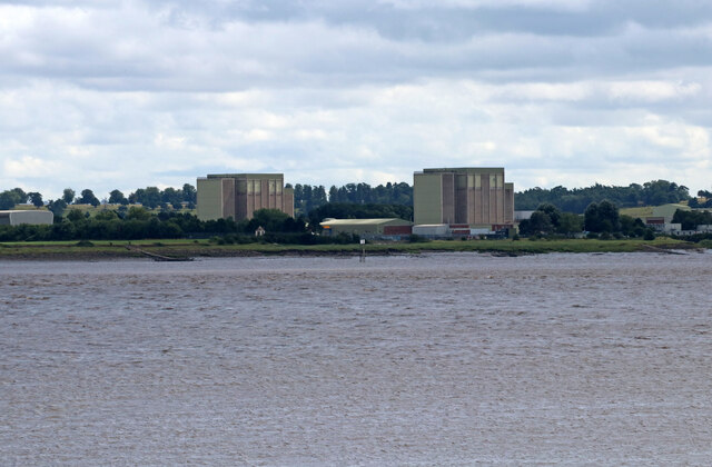
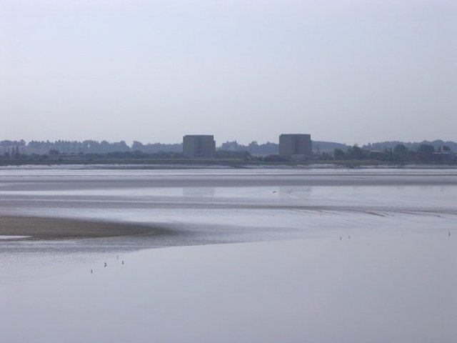
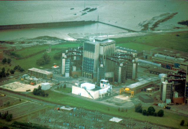
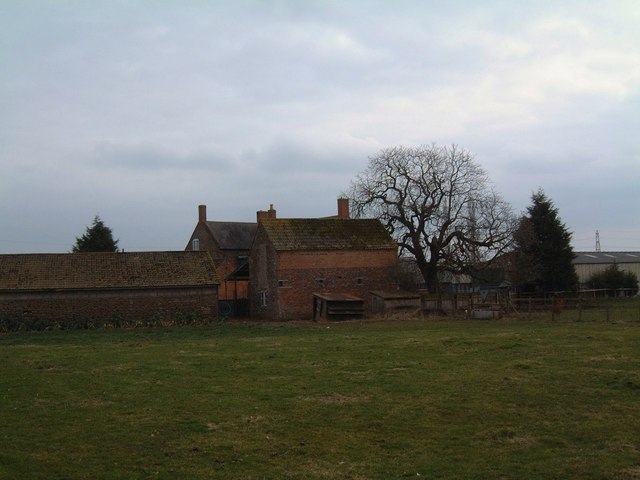
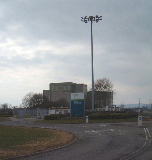
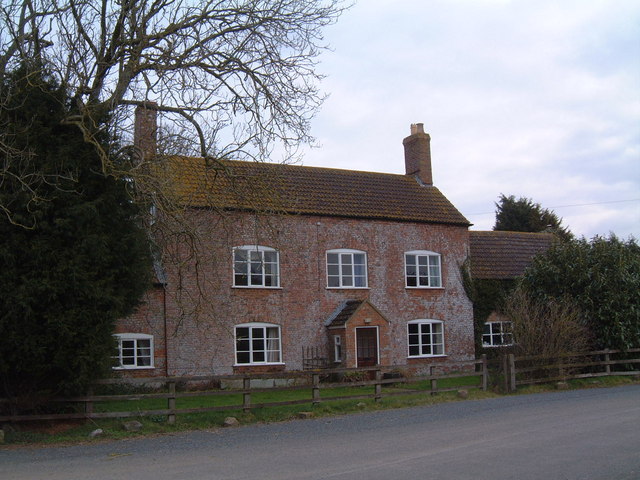
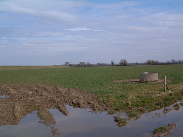
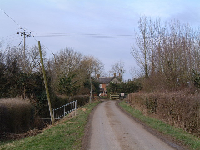
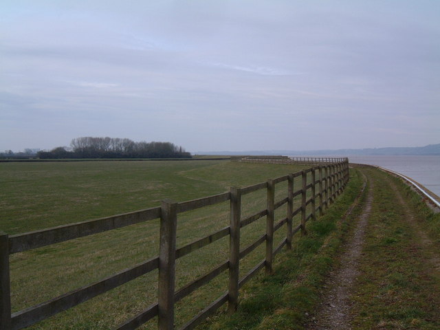
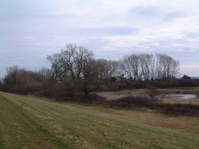
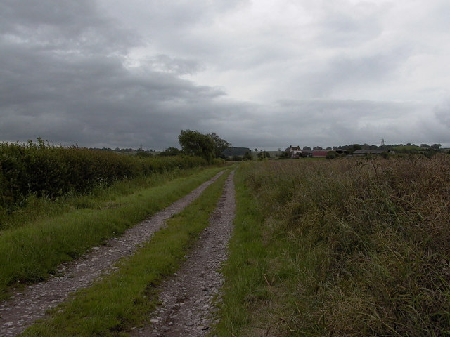
Table Rock is located at Grid Ref: ST6499 (Lat: 51.689207, Lng: -2.5114764)

Administrative County: Gloucestershire

District: Forest of Dean

Police Authority: Gloucestershire

What 3 Words

///composer.allows.engrossed. Near Berkeley, Gloucestershire

Nearby Locations

Table Rock

Related Wikis

SGS Berkeley Green UTC

SGS Berkeley Green UTC is a university technical college in Berkeley, Gloucestershire, England. It opened in September 2017, and is part of SGS Academy...

Berkeley nuclear power station

Berkeley nuclear power station is a former Magnox nuclear power station situated on the bank of the River Severn in Gloucestershire, England. The ongoing...

Little Avon River

The Little Avon River is a small river partly in southern Gloucestershire and partly in South Gloucestershire. For much of its length it forms the boundary...

Vale of Berkeley College

The Vale of Berkeley College was a small school located in Wanswell Berkeley, Gloucestershire, England. The school closed in July 2011. == External... ==

Nearby Amenities

Located within 500m of 51.689207,-2.5114764
Source: PGS
Lat/Long: 51.688845/-2.504569
Source: PGS
Lat/Long: 51.6883149/-2.5050594
Source: PGS
Lat/Long: 51.687952/-2.5056496
Source: PGS
Lat/Long: 51.687488/-2.5064112
Source: PGS
Lat/Long: 51.6869808/-2.5071154
Source: PGS
Lat/Long: 51.6868431/-2.5074614
Source: PGS
Lat/Long: 51.6863004/-2.5085397
Table Rock
Natural: rock
Source: NPE
Lat/Long: 51.6891899/-2.511188
The data included in this document is from www.openstreetmap.org. The data is made available under ODbL.

Have you been to Table Rock?

Leave your review of Table Rock below (or comments, questions and feedback).