Shapinsay

Island in Orkney

Scotland

Shapinsay

Shapinsay: Lairo Water from the air Looking down from a Westray-to-Kirkwall flight on this small lake on the northern shore of Shapinsay. The Tankerness and Deerness peninsulas of the Orkney mainland are in the distance.
Shapinsay: Lairo Water from the air Credit: Chris Downer

Shapinsay is a picturesque island located in the Orkney archipelago, situated off the northeastern coast of Scotland. It covers an area of approximately 9 square miles (23 square kilometers) and has a population of around 300 residents. The island is accessible by ferry from Kirkwall, the main town of Orkney.

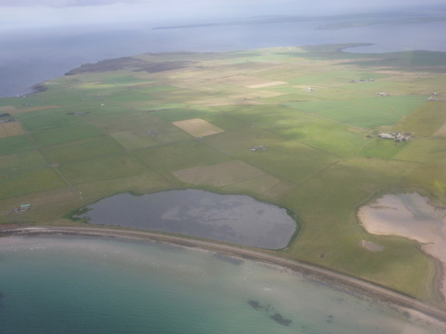
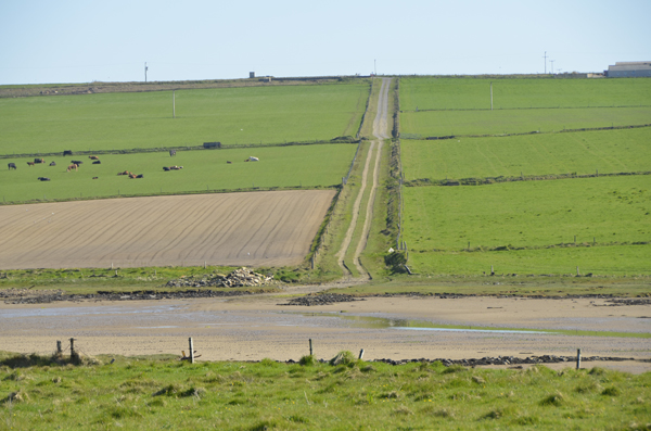
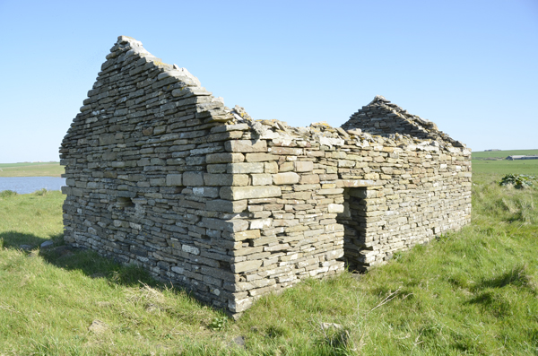
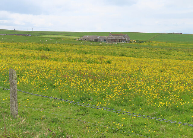
Shapinsay boasts stunning landscapes, encompassing rolling hills, fertile farmland, and rugged cliffs that offer breathtaking views of the surrounding sea. The island is known for its rich history, with evidence of human settlement dating back thousands of years. Visitors can explore various archaeological sites, including the impressive Burroughston Broch and the remains of a medieval castle at Shapinsay Castle.

The island's main settlement is Balfour, where the ferry arrives. Balfour is home to a small but vibrant community, with amenities such as a shop, post office, and a charming cafe. Shapinsay also has a primary school, providing education to the island's young residents.

Nature enthusiasts will find Shapinsay a haven for wildlife. The island is a designated Special Protection Area, with its coastline serving as a breeding ground for seabirds such as puffins, razorbills, and guillemots. Seals and otters can often be spotted along the shores, while the surrounding waters are teeming with marine life.

Overall, Shapinsay is a tranquil island that offers a perfect blend of natural beauty, historical sites, and a close-knit community, making it an ideal destination for those seeking a peaceful retreat or an opportunity to immerse themselves in Orkney's fascinating heritage.

If you have any feedback on the listing, please let us know in the comments section below.
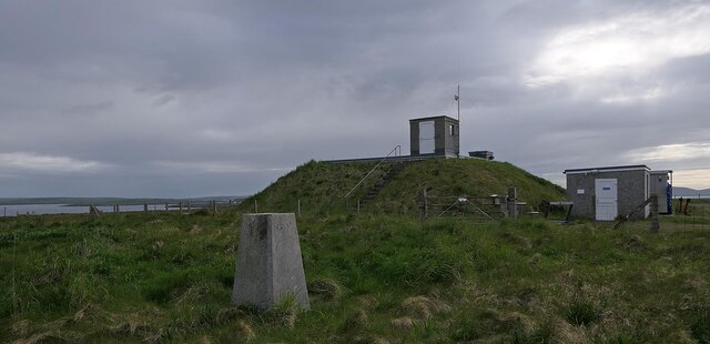
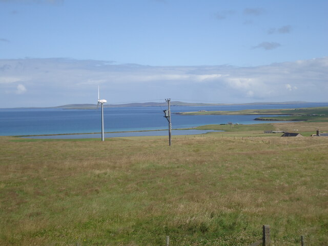
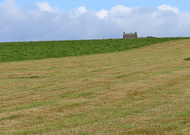
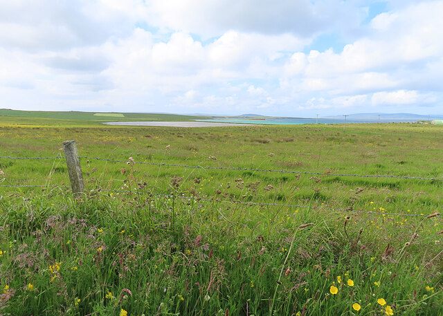
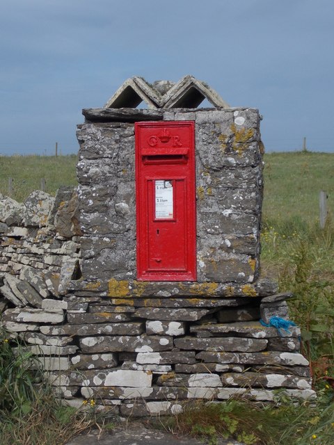
Shapinsay Images

Images are sourced within 2km of 59.052041/-2.8679453 or Grid Reference HY5018. Thanks to Geograph Open Source API. All images are credited.

Shapinsay: Lairo Water from the air Looking down from a Westray-to-Kirkwall flight on this small lake on the northern shore of Shapinsay. The Tankerness and Deerness peninsulas of the Orkney mainland are in the distance.
Shapinsay: Lairo Water from the air
Looking down from a Westray-to-Kirkwall flight on this small lake on the northern shore of Shapinsay. The Tankerness and Deerness peninsulas of the Orkney mainland are in the distance.
Collapsed Building - coastal erosion This was at one time a substantial small holding. Now vanishing after many years of coastal erosion.
Collapsed Building - coastal erosion
This was at one time a substantial small holding. Now vanishing after many years of coastal erosion.
Strand separating sea and loch Naturally occurring 'Strand'  between Veantrow Bay on the left and Lairo Water on the right.
Strand separating sea and loch
Naturally occurring 'Strand' between Veantrow Bay on the left and Lairo Water on the right.
Track going away from The Ouse This track is sign posted To The Odin Stone at the upper end.  However, finding the Odin Stone is very difficult.
Track going away from The Ouse
This track is sign posted To The Odin Stone at the upper end. However, finding the Odin Stone is very difficult.
Old building near to the location of Odin Stone At least that is the theory. Finding the said Odin Stone is another matter.
Old building near to the location of Odin Stone
At least that is the theory. Finding the said Odin Stone is another matter.
Lochend Area from Ventro Bay, Shapinsay
Water infrastructure, Shapinsay, Orkney The building appears to be disused and I assume that the borehole became redundant when a mains water pipe was laid between Orkney Mainland and Shapinsay in 2012.
Water infrastructure, Shapinsay, Orkney
The building appears to be disused and I assume that the borehole became redundant when a mains water pipe was laid between Orkney Mainland and Shapinsay in 2012.
Triangulation pillar and reservoir, Shapinsay, Orkney Shapinsay's water supply used to be from boreholes (eg <a href="https://www.geograph.org.uk/photo/7197001">HY5116 : Water infrastructure, Shapinsay, Orkney</a>) but since 2012 the island has been supplied by a mains water pipe from Orkney Mainland.
Triangulation pillar and reservoir, Shapinsay, Orkney
Shapinsay's water supply used to be from boreholes (eg HY5116 : Water infrastructure, Shapinsay, Orkney) but since 2012 the island has been supplied by a mains water pipe from Orkney Mainland.
From Shapinsay summit
Hamar The isolated house stands above fields being harvested for hay.
Hamar
The isolated house stands above fields being harvested for hay.
Quoybanks Quoybanks Farm stands a little above the coast, and has a fine view over The Ouse, which is a shallow tidal inlet, and Lairo Water, on the right, which is separated from the sea by a narrow shingle spit.
Quoybanks
Quoybanks Farm stands a little above the coast, and has a fine view over The Ouse, which is a shallow tidal inlet, and Lairo Water, on the right, which is separated from the sea by a narrow shingle spit.
Grazing Land near Lairo The lagoon of Lairo Water is in the distance. It is in the next square.
Grazing Land near Lairo
The lagoon of Lairo Water is in the distance. It is in the next square.
Quoybanks To the left, the roof of Odinstone is just visible beyond a slight rise.
Quoybanks
To the left, the roof of Odinstone is just visible beyond a slight rise.
Shapinsay: postbox № KW17 69 A George V-reign postbox set into a stone pillar with a rather decorative top.
Shapinsay: postbox № KW17 69
A George V-reign postbox set into a stone pillar with a rather decorative top.
Shapinsay: approaching Lairo Water The track approaches its right-angled turn to the house Lochend, while ahead of us Lairo Water, which is separated from Veantrow Bay by a shingle ayre, noticeably differs in colour from the seawater.
Shapinsay: approaching Lairo Water
The track approaches its right-angled turn to the house Lochend, while ahead of us Lairo Water, which is separated from Veantrow Bay by a shingle ayre, noticeably differs in colour from the seawater.
Shapinsay: ayre between Lairo Water and Veantrow Bay The narrow strip of land separating Lairo Water (left) from the open sea of Veantrow Bay (right). It is perhaps unusual in these northern isles, which have a fair few ayres such as this, that it does not have a mapped name.
Shapinsay: ayre between Lairo Water and Veantrow Bay
The narrow strip of land separating Lairo Water (left) from the open sea of Veantrow Bay (right). It is perhaps unusual in these northern isles, which have a fair few ayres such as this, that it does not have a mapped name.
Shapinsay: the shoreline of Veantrow Bay The rocks, slightly offshore, marked on the map clearly are submerged at higher tides such as now.
Shapinsay: the shoreline of Veantrow Bay
The rocks, slightly offshore, marked on the map clearly are submerged at higher tides such as now.
Lairo Water This water on the north coast of Shapinsay is separated from Veantrow Bay by an ayre. Orcadians use the name ayre for the storm beaches dividing sea from lochs.
Lairo Water
This water on the north coast of Shapinsay is separated from Veantrow Bay by an ayre. Orcadians use the name ayre for the storm beaches dividing sea from lochs.
Show me another place!

Shapinsay is located at Grid Ref: HY5018 (Lat: 59.052041, Lng: -2.8679453)

Unitary Authority: Orkney Islands

Police Authority: Highlands and Islands

What 3 Words

///banquets.essential.vanilla. Near Balfour, Orkney Islands

Nearby Locations

Shapinsay

Related Wikis

The Ouse

The Ouse is a tidal estuary in northern Shapinsay, Orkney Islands. This water body has been shown on early maps of the island in a very similar shape to...

Lairo Water

Lairo Water is a surface water body known as an ayre situated on the western coast of Shapinsay in the Orkney Islands. This brackish water body is separated...

Shapinsay

Shapinsay (, Scots: Shapinsee) is one of the Orkney Islands off the north coast of mainland Scotland. With an area of 29.5 square kilometres (11.4 sq mi...

Veantro Bay

Veantro Bay is a bay on the northwest coast of Shapinsay in the Orkney Islands, Scotland. At the head of the bay is a large stone, thought to be associated...

Nearby Amenities

Located within 500m of 59.052041,-2.8679453
Power: pole
Lat/Long: 59.0511941/-2.8715596
Power: pole
Lat/Long: 59.0507113/-2.872375
Power: pole
Lat/Long: 59.0502285/-2.8731743
Power: pole
Lat/Long: 59.0497291/-2.8740835
The Ouse
Place: locality
Lat/Long: 59.0557074/-2.8667746
The data included in this document is from www.openstreetmap.org. The data is made available under ODbL.

Have you been to Shapinsay?

Leave your review of Shapinsay below (or comments, questions and feedback).