Blake Holme
Island in Westmorland South Lakeland
England
Blake Holme
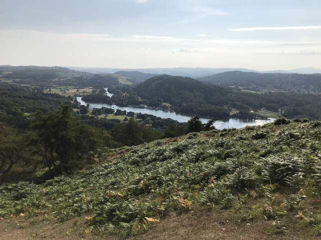
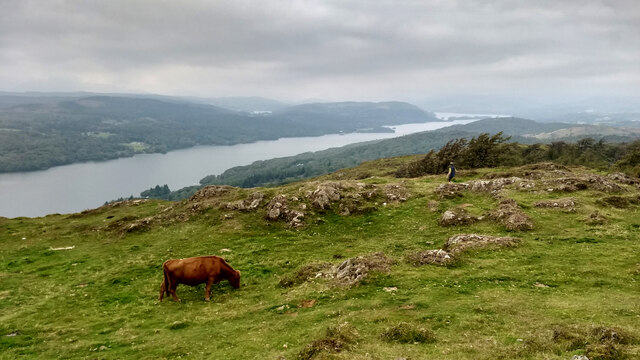
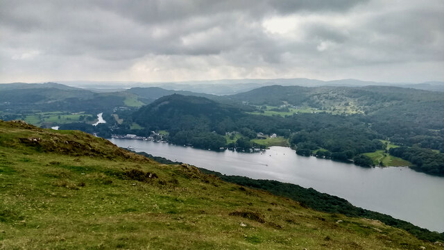
Blake Holme is a small island located in the Lake District National Park, in the county of Cumbria, England. Situated in the southern part of Lake Windermere, it covers an area of approximately 2.5 acres and is known for its picturesque beauty and tranquility.
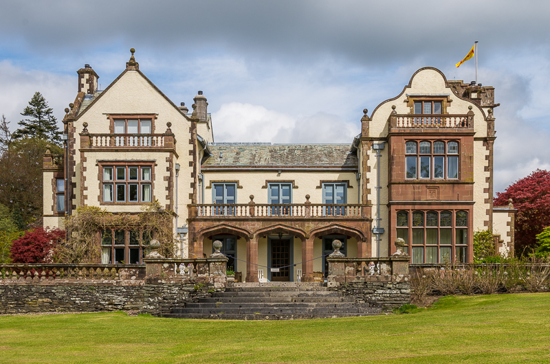
The island is dominated by a magnificent house, also called Blake Holme, which was built in the late 19th century. The house is a fine example of Victorian architecture, with its distinctive red brick facade and elegant design. Surrounded by well-maintained gardens, it offers stunning views of the surrounding lake and the rolling hills of the Lake District.
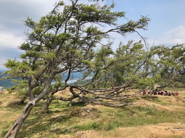
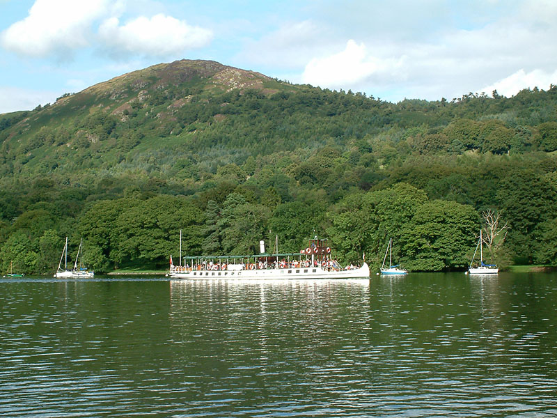
Access to Blake Holme is only possible by boat or ferry, making it a secluded and peaceful retreat away from the mainland. The island provides a haven for wildlife, with various species of birds, including swans and ducks, frequenting its shores. It is also home to a diverse range of plant life, with beautiful flowers and trees adorning the landscape.
The island is a popular destination for tourists and nature enthusiasts looking to escape the hustle and bustle of everyday life. Visitors can enjoy leisurely walks around the island, taking in the breathtaking scenery and enjoying the serenity of the surroundings. Additionally, there are opportunities for boating and fishing on Lake Windermere, allowing visitors to fully immerse themselves in the natural beauty of the area.
Overall, Blake Holme is a charming and idyllic island, offering a peaceful retreat in the heart of the Lake District. Its stunning landscape, rich wildlife, and Victorian architecture make it a must-visit destination for those seeking a tranquil escape.
If you have any feedback on the listing, please let us know in the comments section below.
Blake Holme Images
Images are sourced within 2km of 54.300347/-2.9504439 or Grid Reference SD3889. Thanks to Geograph Open Source API. All images are credited.


Blake Holme is located at Grid Ref: SD3889 (Lat: 54.300347, Lng: -2.9504439)
Administrative County: Cumbria
District: South Lakeland
Police Authority: Cumbria
What 3 Words
///woodstove.poets.lifelong. Near Windermere, Cumbria
Nearby Locations
Related Wikis
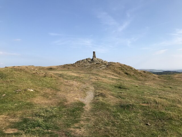
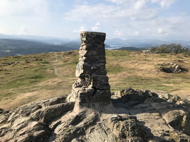
Gummer's How
Gummer's How is a hill in the southern part of the Lake District, on the eastern shore of Windermere, near its southern end. How, derived from the Old...
Graythwaite Hall
Graythwaite Hall, in Ulverston, Cumbria in the Lake District of England is the home of the Sandys family. One of the more famous members of the family...
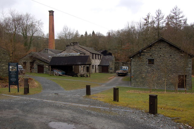
Stott Park Bobbin Mill
Stott Park Bobbin Mill is a 19th-century bobbin mill and now a working museum located near Newby Bridge, Cumbria, England. Built in 1835 the mill was one...

Heights Tarn
Heights Tarn is a small lake to the east of Windermere and north of Simpson Ground Reservoir, near Cartmel Fell, in the Lake District of Cumbria, England...

St Peter's Church, Finsthwaite
St Peter's Church is in the village of Finsthwaite, Cumbria, England. It is an active Anglican parish church in the deanery of Windermere, the archdeaconry...
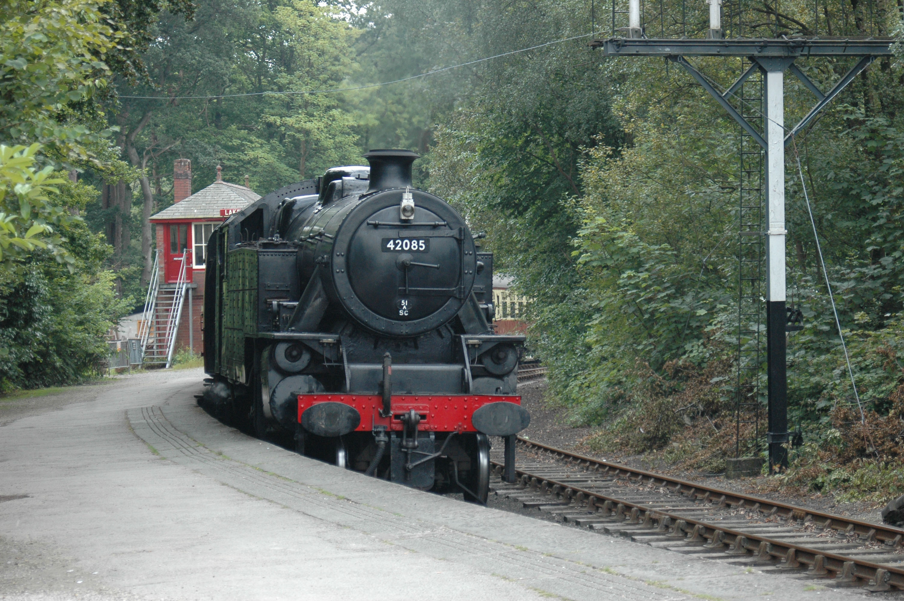
Lakeside railway station (England)
Lakeside railway station is on the heritage Lakeside and Haverthwaite Railway in England. It was previously the terminus of the Furness Railway Ulverston...
Finsthwaite
Finsthwaite is a small village in the South Lakeland district, in the county of Cumbria, England. It is located near the Furness Fells and Windermere....

Lakes Aquarium
The Lakes Aquarium is an aquarium in the village of Lakeside on the southern shore of Windermere, Cumbria, England. It is one of the docking points of...
Nearby Amenities
Located within 500m of 54.300347,-2.9504439Have you been to Blake Holme?
Leave your review of Blake Holme below (or comments, questions and feedback).