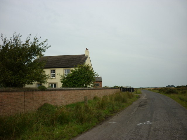
Skinburness Marsh
Island in Cumberland Allerdale
England
Skinburness Marsh

Skinburness Marsh is a coastal wetland located on the Solway Firth in Cumberland, England. It is part of the Skinburness Nature Reserve, which is managed by the Cumbria Wildlife Trust. The marsh is characterized by its diverse habitats, including salt marsh, mudflats, and sand dunes.
The marsh is an important breeding ground for various bird species, including terns, oystercatchers, and redshanks. It also provides a valuable feeding ground for migrating birds, making it a popular spot for birdwatchers.
The area is rich in biodiversity, with a variety of plant species such as sea lavender, sea thrift, and sea purslane thriving in the salty conditions. The marsh is also home to a number of invertebrates, including various species of beetles, butterflies, and moths.
Skinburness Marsh is a designated Site of Special Scientific Interest (SSSI) due to its importance for wildlife conservation. Visitors to the area can enjoy walking along the coastal paths, birdwatching, and taking in the stunning views of the Solway Firth. The marsh provides a peaceful and tranquil escape for nature lovers looking to explore the unique habitats of the Cumberland coast.
If you have any feedback on the listing, please let us know in the comments section below.
Skinburness Marsh Images
Images are sourced within 2km of 54.882129/-3.3191304 or Grid Reference NY1554. Thanks to Geograph Open Source API. All images are credited.
Skinburness Marsh is located at Grid Ref: NY1554 (Lat: 54.882129, Lng: -3.3191304)
Administrative County: Cumbria
District: Allerdale
Police Authority: Cumbria
What 3 Words
///resonates.ballroom.tinted. Near Silloth, Cumbria
Nearby Locations
Related Wikis
Solway Coast
The Solway Coast is a designated Area of Outstanding Natural Beauty in northern Cumbria, England. It incorporates two areas of coastline along the Solway...
Calvo, Cumbria
Calvo is a hamlet in Cumbria, England. == See also == Listed buildings in Holme Low == References ==
River Wampool
The River Wampool is a river flowing through north western Cumbria in England. It is in the Waver and Wampool (or Wampool and Waver) catchment which includes...
Moricambe Bay
Moricambe Bay is an inlet of the Solway Firth in Cumbria (before 1974 in Cumberland) in north west England, created by the confluence of two rivers, the...
Nearby Amenities
Located within 500m of 54.882129,-3.3191304Have you been to Skinburness Marsh?
Leave your review of Skinburness Marsh below (or comments, questions and feedback).


