Ditton, Little

Settlement in Cambridgeshire East Cambridgeshire

England

Ditton, Little

Two miles to Newmarket Looking towards Newmarket on Woodditton Road. The crossroad is staggered: Stetchworth and Dullingham to the left, Cheveley to the right (out of the picture).
Two miles to Newmarket Credit: John Sutton

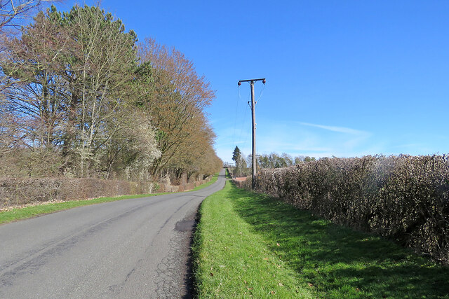
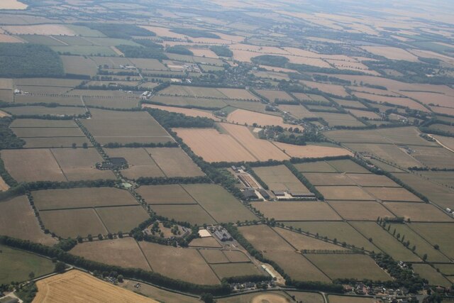
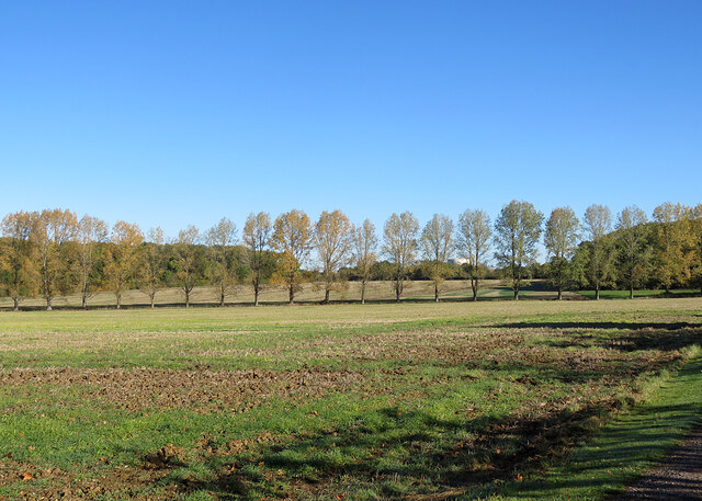
Ditton, Little is a small village located in the county of Cambridgeshire, England. Situated approximately five miles east of the historic city of Cambridge, it falls under the district of South Cambridgeshire. The village is nestled amidst a picturesque rural landscape, characterized by vast fields, meadows, and gently rolling hills.

With a population of around 400 residents, Ditton, Little boasts a close-knit and friendly community. The village is known for its peaceful and tranquil atmosphere, making it an ideal place for those seeking a quiet and idyllic countryside lifestyle.

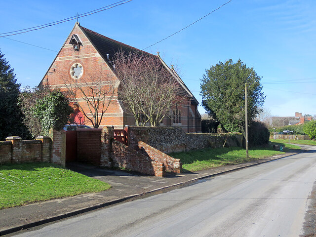
Despite its small size, Ditton, Little is rich in history and heritage. The village features a number of beautiful and well-preserved historic buildings, including St. Mary's Church, which dates back to the 13th century. The church is a prominent landmark, with its striking architecture and intricate stained glass windows.

Ditton, Little benefits from its close proximity to Cambridge, allowing residents to easily access the city's amenities and services. The village has a local pub and a post office, providing basic necessities for its inhabitants. There are also several schools nearby, ensuring that families have access to quality education.

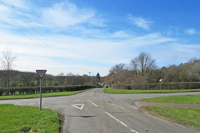
The surrounding countryside offers ample opportunities for outdoor activities, such as hiking, cycling, and horseback riding. Additionally, the village is well-connected to transportation links, with regular bus services and easy access to major roads, making it convenient for commuting to nearby towns and cities.

In summary, Ditton, Little is a charming and historic village in Cambridgeshire, offering a peaceful and rural environment while still being within reach of the amenities and cultural attractions of nearby Cambridge.

If you have any feedback on the listing, please let us know in the comments section below.

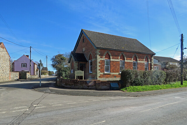
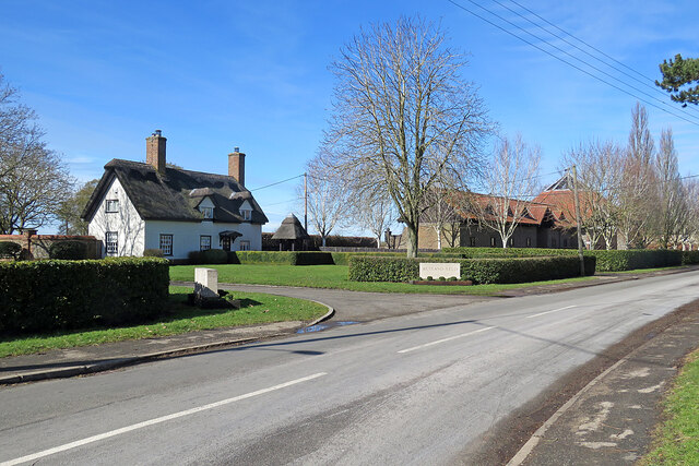
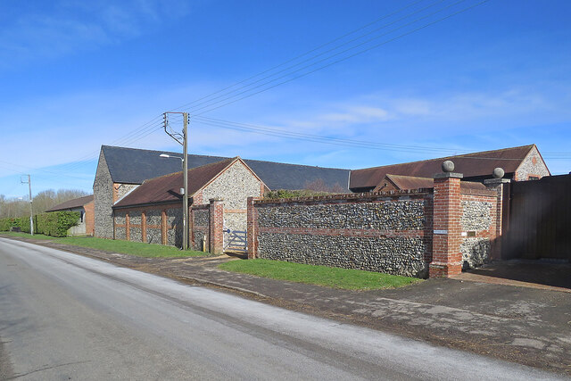
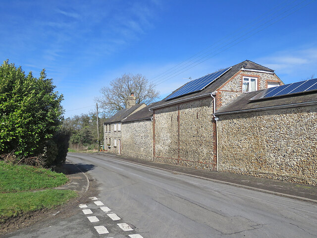
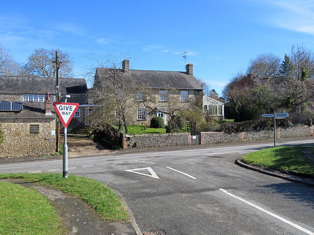
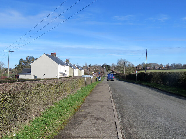
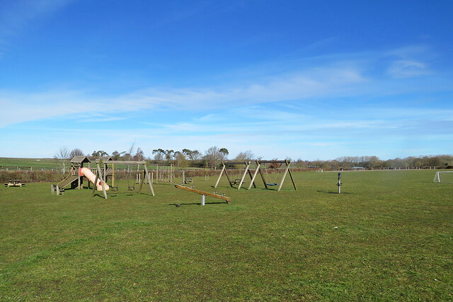
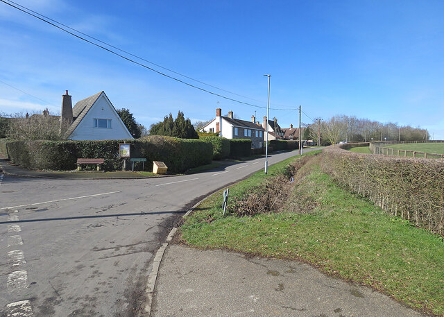
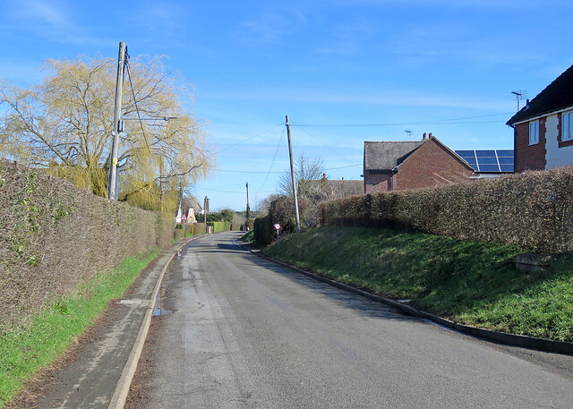
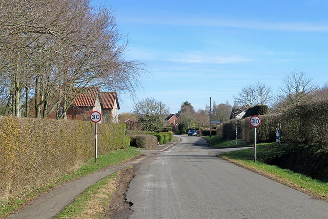
Ditton, Little Images

Images are sourced within 2km of 52.202629/0.437999 or Grid Reference TL6658. Thanks to Geograph Open Source API. All images are credited.

Two miles to Newmarket Looking towards Newmarket on Woodditton Road. The crossroad is staggered: Stetchworth and Dullingham to the left, Cheveley to the right (out of the picture).
Two miles to Newmarket
Looking towards Newmarket on Woodditton Road. The crossroad is staggered: Stetchworth and Dullingham to the left, Cheveley to the right (out of the picture).
Uphill to the crossroads The road from Dullingham and Stetchworth to Cheveley (ahead), photographed on a bright March morning. Early blossom shows in some trees and the hedgerow on the left.
Uphill to the crossroads
The road from Dullingham and Stetchworth to Cheveley (ahead), photographed on a bright March morning. Early blossom shows in some trees and the hedgerow on the left.
Give way at the crossroads This is where the road from Cheveley to Stetchworth and Dullingham (ahead) crosses the road from Kirtling and Saxon Street (left) to Newmarket.
Give way at the crossroads
This is where the road from Cheveley to Stetchworth and Dullingham (ahead) crosses the road from Kirtling and Saxon Street (left) to Newmarket.
Saxon Street and Rutland Stud, looking towards Little Ditton: aerial 2022
A line of trees near Stetchworth Ley The trees crossing the picture line a drain. Ditton Green water tower shows in the distance beyond them.
A line of trees near Stetchworth Ley
The trees crossing the picture line a drain. Ditton Green water tower shows in the distance beyond them.
Stetchworth Ley: footpath to Ditton Green The shadowed north-western edge of Great Chitlings Wood is on the right and Little Chitlings Wood in the distance in the centre of the picture.
Stetchworth Ley: footpath to Ditton Green
The shadowed north-western edge of Great Chitlings Wood is on the right and Little Chitlings Wood in the distance in the centre of the picture.
Towards Charcoals Wood In the gentle hills of East Cambridgeshire on a bright October morning.
Towards Charcoals Wood
In the gentle hills of East Cambridgeshire on a bright October morning.
Saxon Street Methodist Church A Victorian Primitive Methodist chapel at the corner of Cheveley Road (left).
Saxon Street Methodist Church
A Victorian Primitive Methodist chapel at the corner of Cheveley Road (left).
Saxon Street: the entrance to Rutland Stud This is one of the many stud farms in this horsey part of Cambridgeshire, near Newmarket. The 17th-century thatched house, The Elms, is Grade II listed.
Saxon Street: the entrance to Rutland Stud
This is one of the many stud farms in this horsey part of Cambridgeshire, near Newmarket. The 17th-century thatched house, The Elms, is Grade II listed.
Saxon Street: flint barns at Rutland Farm Flint was a common walling material in this part of Cambridgeshire, near the Suffolk border.
Saxon Street: flint barns at Rutland Farm
Flint was a common walling material in this part of Cambridgeshire, near the Suffolk border.
Saxon Street: a former church Holy Trinity, the Lord Manners memorial church, was designed by J D Stedding and built in 1876 ("before he found his own style", thought Nikolaus Pevsner). It is Grade II listed.
Saxon Street: a former church
Holy Trinity, the Lord Manners memorial church, was designed by J D Stedding and built in 1876 ("before he found his own style", thought Nikolaus Pevsner). It is Grade II listed.
Saxon Street: flint farm buildings Flint was a common walling material in this part of Cambridgeshire.
Saxon Street: flint farm buildings
Flint was a common walling material in this part of Cambridgeshire.
Saxon Street: Syde House A Grade II listed nineteenth-century brick farmhouse.
Saxon Street: Syde House
A Grade II listed nineteenth-century brick farmhouse.
Nearing Saxon Street on School Road This is the road from Woodditton. The first three houses are an early Council-built type which is found in other Cambridgeshire villages.
Nearing Saxon Street on School Road
This is the road from Woodditton. The first three houses are an early Council-built type which is found in other Cambridgeshire villages.
Queen Elizabeth II Memorial Playing Field On the Little Ditton to Saxon Street road and administered by Woodditton Parish Council.
Queen Elizabeth II Memorial Playing Field
On the Little Ditton to Saxon Street road and administered by Woodditton Parish Council.
Little Ditton: Maypole Lane The lane leads to Woodditton Church, which is some way north of the village, and the road to Newmarket.
Little Ditton: Maypole Lane
The lane leads to Woodditton Church, which is some way north of the village, and the road to Newmarket.
Early spring in Little Ditton The willow is coming into leaf.
Early spring in Little Ditton
The willow is coming into leaf.
Little Ditton: speed-limit signs The road to Saxon Street and Cheveley.
Little Ditton: speed-limit signs
The road to Saxon Street and Cheveley.
Show me another place!

Ditton, Little is located at Grid Ref: TL6658 (Lat: 52.202629, Lng: 0.437999)

Administrative County: Cambridgeshire

District: East Cambridgeshire

Police Authority: Cambridgeshire

What 3 Words

///pulsing.estuaries.hack. Near Newmarket, Suffolk

Related Wikis

Woodditton

Woodditton is a village and civil parish in East Cambridgeshire, England. The other settlements in the parish are Ditton Green, Little Ditton and Saxon...
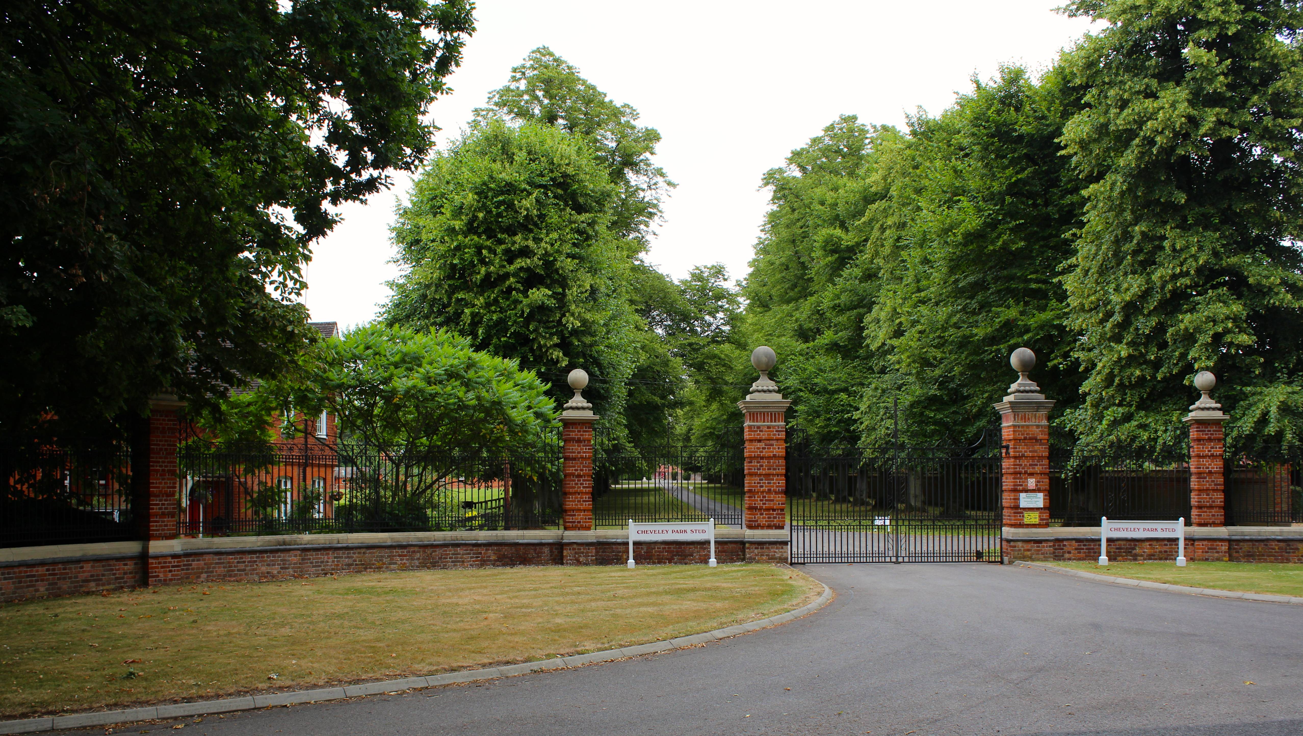
Cheveley Park Stud

Cheveley Park Stud is a thoroughbred racehorse ownership and breeding operation in Newmarket, Suffolk, UK, which has bred and owned many notable horses...

Kirtling Tower

Kirtling Tower was a medieval castle and Tudor country house in Kirtling, Cambridgeshire, England, of which the gatehouse still remains. == History... ==

Cheveley

The village of Cheveley is situated in the county of Cambridgeshire and lies about four miles east-south-east of the market town of Newmarket. The population...

Nearby Amenities

Located within 500m of 52.202629,0.437999
Bench
Lat/Long: 52.2019638/0.4380478
Power: pole
Lat/Long: 52.202612/0.4395994
Power: pole
Lat/Long: 52.2014005/0.4390496
Power: transformer
Lat/Long: 52.2038787/0.4417505
Power: pole
Lat/Long: 52.202579/0.439186
Power: pole
Lat/Long: 52.2024585/0.4409446
Power: pole
Lat/Long: 52.2023631/0.4368823
Power: pole
Lat/Long: 52.2022291/0.4425123
Power: pole
Lat/Long: 52.2032943/0.4405556
Power: transformer
Lat/Long: 52.2005671/0.4394332
Power: pole
Lat/Long: 52.2020228/0.4441243
Power: pole
Lat/Long: 52.2025243/0.4382837
Power: pole
Lat/Long: 52.2018062/0.4388788
Power: pole
Lat/Long: 52.2009625/0.434585
Power: pole
Lat/Long: 52.2017275/0.4352654
Power: pole
Lat/Long: 52.2005392/0.4350624
Power: pole
Lat/Long: 52.2008516/0.4327074
Power: pole
Lat/Long: 52.2013546/0.4341156
Waste Basket
Lat/Long: 52.2039884/0.4414712
Waste Basket
Waste: dog_excrement
Lat/Long: 52.2029196/0.4395274
The data included in this document is from www.openstreetmap.org. The data is made available under ODbL.

Have you been to Ditton, Little?

Leave your review of Ditton, Little below (or comments, questions and feedback).