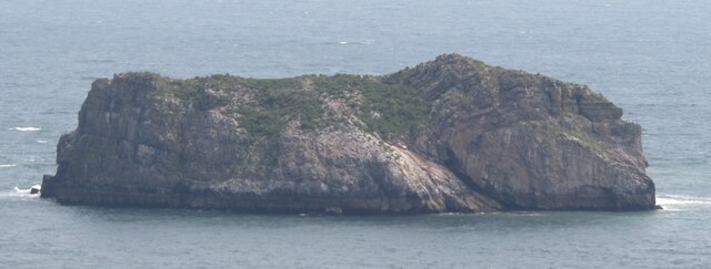
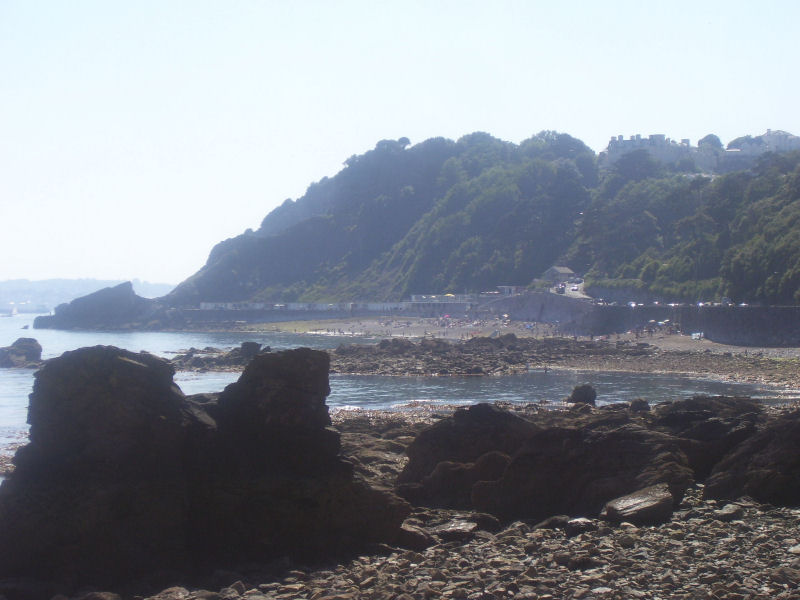
Thatcher Rock
Island in Devon
England
Thatcher Rock

The requested URL returned error: 429 Too Many Requests
If you have any feedback on the listing, please let us know in the comments section below.
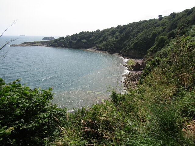
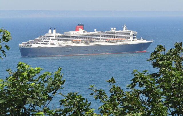
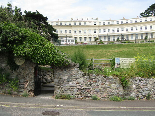
Thatcher Rock Images
Images are sourced within 2km of 50.455677/-3.4891565 or Grid Reference SX9462. Thanks to Geograph Open Source API. All images are credited.


Thatcher Rock is located at Grid Ref: SX9462 (Lat: 50.455677, Lng: -3.4891565)
Unitary Authority: Torbay
Police Authority: Devon and Cornwall
What 3 Words
///bath.candle.same. Near Torquay, Devon
Nearby Locations
Related Wikis

Hope's Nose
Hope's Nose is a coastal headland, separating Tor Bay from Babbacombe Bay. It is visible from much of the town and harbour of Torquay, Devon. It has been...

Meadfoot Sea Road
Meadfoot Sea Road (grid reference SX934633) is a 6.1 hectare geological Site of Special Scientific Interest in Devon, England, notified in 1987 for its...
Meadfoot
Meadfoot is an area of Torquay, Devon. Meadfoot beach is a mixture of rock, stone and sandy areas. At the rocky eastern end there is a cliff and a car...
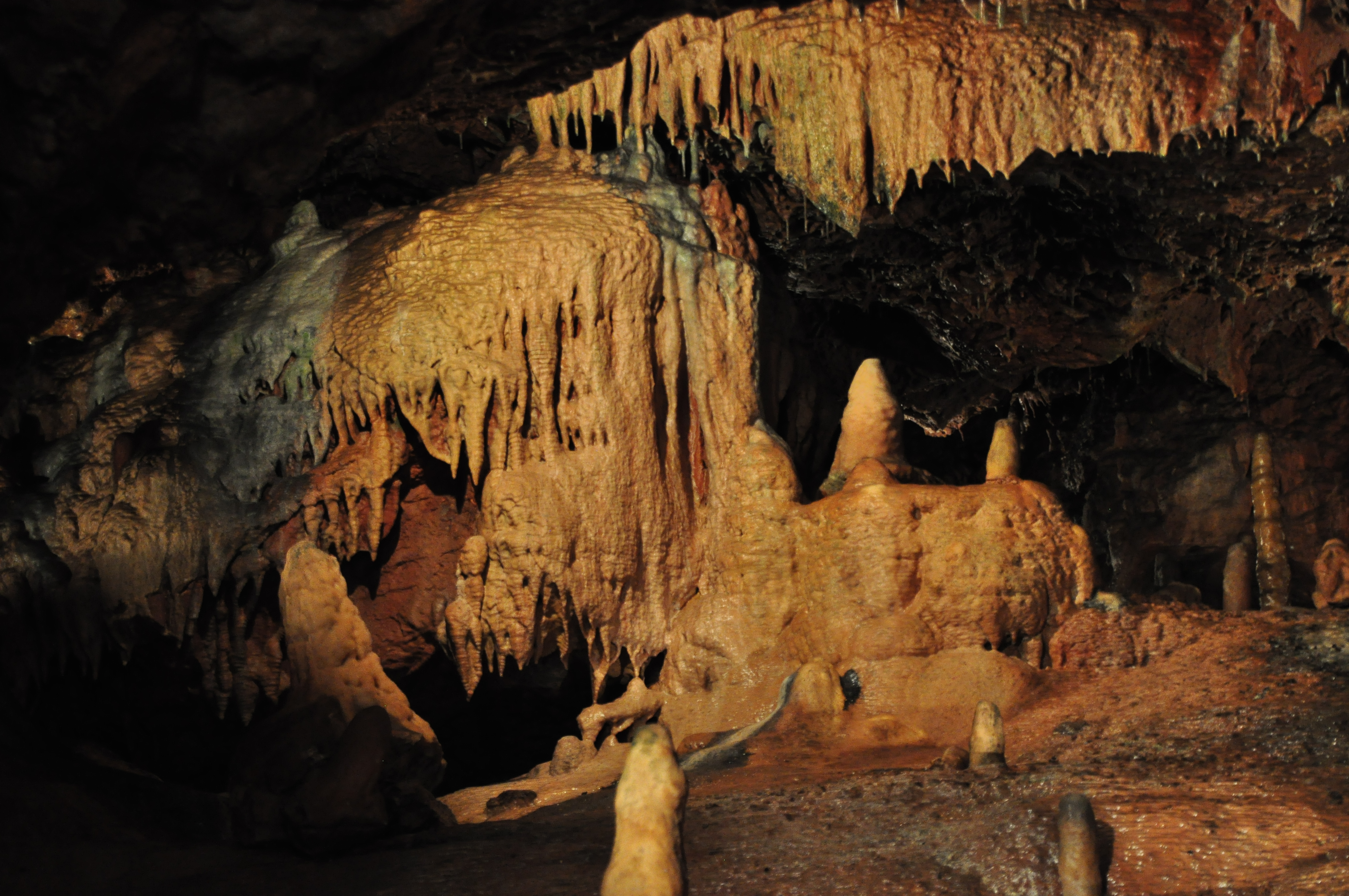
Kents Cavern
Kents Cavern is a cave system in Torquay, Devon, England. It is notable both for its archaeological and geological features (as a karst feature in the...
Nearby Amenities
Located within 500m of 50.455677,-3.4891565Have you been to Thatcher Rock?
Leave your review of Thatcher Rock below (or comments, questions and feedback).