Armchair Rock

Island in Devon

England

Armchair Rock

Rocks near Churston Point Devonian limestone just northwest of Elberry Cove. Paignton and Torquay are across the bay.
Rocks near Churston Point Credit: Derek Harper

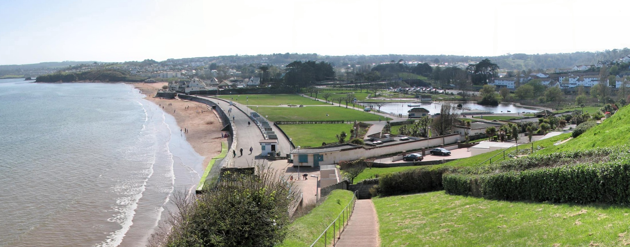
Armchair Rock is a small island located off the coast of Devon, England. It is situated in the English Channel, approximately 1.5 kilometers from the mainland. The island gets its name from a distinctive rock formation that resembles an armchair when viewed from a certain angle.

Covering an area of around 0.4 hectares, Armchair Rock is relatively small in size. It is mostly composed of rugged cliffs and rocky outcrops, with a few patches of grassland scattered across the island. The coastline is characterized by steep cliffs that provide nesting sites for various seabird species, making it a popular destination for birdwatchers.

Access to Armchair Rock is limited due to its remote location and lack of infrastructure. There are no permanent residents or facilities on the island, making it a secluded and peaceful spot for those seeking solitude. However, it is occasionally visited by adventurous hikers and nature enthusiasts who are attracted to its natural beauty and unique rock formation.

The island's surrounding waters are rich in marine life, offering opportunities for snorkeling and diving. It is also home to a diverse range of flora and fauna, including rare plant species and marine mammals such as seals and dolphins.

Overall, Armchair Rock is a picturesque and tranquil island that appeals to nature lovers and outdoor enthusiasts. Its stunning rock formation, abundant wildlife, and serene atmosphere make it a hidden gem along the Devon coastline.

If you have any feedback on the listing, please let us know in the comments section below.

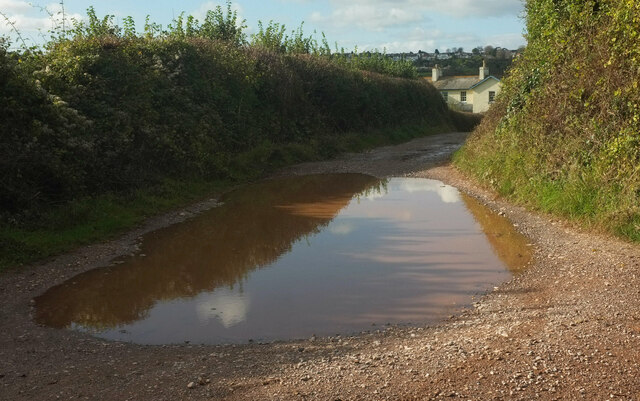
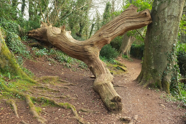
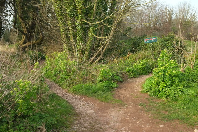
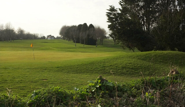
Armchair Rock Images

Images are sourced within 2km of 50.4146/-3.5540079 or Grid Reference SX8958. Thanks to Geograph Open Source API. All images are credited.

Rocks near Churston Point Devonian limestone just northwest of Elberry Cove. Paignton and Torquay are across the bay.
Rocks near Churston Point
Devonian limestone just northwest of Elberry Cove. Paignton and Torquay are across the bay.
Coast path near Elberry Cove Following footpath BX 29#1 through woodland west of the cove.
Coast path near Elberry Cove
Following footpath BX 29#1 through woodland west of the cove.
Puddle near Elberry Farm Taken at a footpath junction; footpath BX 55a#3 goes ahead past the puddle and the farm to Broad Sands.
Puddle near Elberry Farm
Taken at a footpath junction; footpath BX 55a#3 goes ahead past the puddle and the farm to Broad Sands.
Pasture behind Elberry Cove From a gate just behind the camera in <a href="https://www.geograph.org.uk/photo/7000776">SX9057 : Puddle near Elberry Farm</a>. To the left of the further area, where grazing is taking place, the lane drops quickly to the cove's beach. In the background is Marridge Wood.
Pasture behind Elberry Cove
From a gate just behind the camera in SX9057 : Puddle near Elberry Farm. To the left of the further area, where grazing is taking place, the lane drops quickly to the cove's beach. In the background is Marridge Wood.
Pasture by Elberry Lane Elberry Lane is on the right; Marridge Wood is in the background. This field - or collection of fenced compartments - is seen from the far end in <a href="https://www.geograph.org.uk/photo/2774153">SX9056 : Elbury Lane</a> and <a href="https://www.geograph.org.uk/photo/6702972">SX9056 : Field by Elberry Lane</a>.
Pasture by Elberry Lane
Elberry Lane is on the right; Marridge Wood is in the background. This field - or collection of fenced compartments - is seen from the far end in SX9056 : Elbury Lane and SX9056 : Field by Elberry Lane.
Toy in field by Elberry Lane A representation of the creature occupying this field; do they belong to one another, or was this left by a visiting child?
Toy in field by Elberry Lane
A representation of the creature occupying this field; do they belong to one another, or was this left by a visiting child?
Field boundary, Elberry A view across the field shown in <a href="https://www.geograph.org.uk/photo/7000817">SX9056 : Pasture by Elberry Lane</a> from a few metres further up Elberry Lane.
Field boundary, Elberry
A view across the field shown in SX9056 : Pasture by Elberry Lane from a few metres further up Elberry Lane.
Elberry Lane Looking right from <a href="https://www.geograph.org.uk/photo/7001004">SX9056 : Field boundary, Elberry</a>. The straight stretch of old lane is followed by footpath BX 55a#1. On the left ahead is Marridge Wood, on the right are houses on Brunel Road.
Elberry Lane
Looking right from SX9056 : Field boundary, Elberry. The straight stretch of old lane is followed by footpath BX 55a#1. On the left ahead is Marridge Wood, on the right are houses on Brunel Road.
Dog waste bin, Elberry Lane At the junction of footpath BX 55a#1 with a short path between houses onto the cul-de-sac at the southeast end of Brunel Road. Tor Bay and Torquay are in the background.
Dog waste bin, Elberry Lane
At the junction of footpath BX 55a#1 with a short path between houses onto the cul-de-sac at the southeast end of Brunel Road. Tor Bay and Torquay are in the background.
Path, Brunel Road, Broadsands See <a href="https://www.geograph.org.uk/photo/7001036">SX9056 : Dog waste bin, Elberry Lane</a>; this looks along the path mentioned from the cul-de-sa. The dog bin is visible on Elberry Lane.
Path, Brunel Road, Broadsands
See SX9056 : Dog waste bin, Elberry Lane; this looks along the path mentioned from the cul-de-sa. The dog bin is visible on Elberry Lane.
Monkey puzzle tree, Brunel Road, Broadsands An Araucaria bearing fruit, by the cul-de-sac where <a href="https://www.geograph.org.uk/photo/7001042">SX9056 : Path, Brunel Road, Broadsands</a> was taken.
Monkey puzzle tree, Brunel Road, Broadsands
An Araucaria bearing fruit, by the cul-de-sac where SX9056 : Path, Brunel Road, Broadsands was taken.
Brunel Road, Broadsands Looking left from <a href="https://www.geograph.org.uk/photo/7001042">SX9056 : Path, Brunel Road, Broadsands</a>. The monkey puzzle tree shown in <a href="https://www.geograph.org.uk/photo/7001053">SX9056 : Monkey puzzle tree, Brunel Road, Broadsands</a> is on the right. On the left is the eastern junction with Lower Fowden.
Brunel Road, Broadsands
Looking left from SX9056 : Path, Brunel Road, Broadsands. The monkey puzzle tree shown in SX9056 : Monkey puzzle tree, Brunel Road, Broadsands is on the right. On the left is the eastern junction with Lower Fowden.
Lower Fowden, Broadsands The eastern junction with Brunel Road, also glimpsed in <a href="https://www.geograph.org.uk/photo/7001079">SX9056 : Brunel Road, Broadsands</a>. The road loops around the hillside to rejoin Brunel Road as shown in <a href="https://www.geograph.org.uk/photo/7000317">SX8956 : Junction on Brunel Road, Broadsands</a>.
Lower Fowden, Broadsands
The eastern junction with Brunel Road, also glimpsed in SX9056 : Brunel Road, Broadsands. The road loops around the hillside to rejoin Brunel Road as shown in SX8956 : Junction on Brunel Road, Broadsands.
Junction on Brunel Road, Broadsands Showing the northern end of the triangle at the junction of Brunel Road and Lower Fowden; the southern end is seen in <a href="https://www.geograph.org.uk/photo/7001079">SX9056 : Brunel Road, Broadsands</a>.
Junction on Brunel Road, Broadsands
Showing the northern end of the triangle at the junction of Brunel Road and Lower Fowden; the southern end is seen in SX9056 : Brunel Road, Broadsands.
Fallen tree, Marridge Wood Impressively weathered, this is on the Greenway Walk.
Fallen tree, Marridge Wood
Impressively weathered, this is on the Greenway Walk.
Paths, Churston Golf Club The left fork runs down to meet Elberry Lane. The right fork is probably intended for golfers only.
Paths, Churston Golf Club
The left fork runs down to meet Elberry Lane. The right fork is probably intended for golfers only.
Churston Golf Course Looking left from <a href="https://www.geograph.org.uk/photo/7131448">SX9056 : Paths, Churston Golf Club</a>.
Churston Golf Course
Door in wall, Elberry Lane Into the Secret Garden, perhaps? Elberry Lane carries footpath BX 55a#1.
Door in wall, Elberry Lane
Into the Secret Garden, perhaps? Elberry Lane carries footpath BX 55a#1.
Show me another place!

Armchair Rock is located at Grid Ref: SX8958 (Lat: 50.4146, Lng: -3.5540079)

Unitary Authority: Torbay

Police Authority: Devon and Cornwall

What 3 Words

///intervals.affirming.feed. Near Paignton, Devon

Related Wikis

Saltern Cove

Saltern Cove is a Site of Special Scientific Interest. It is on the coast of Tor Bay, south of Paignton, Devon, England. It is one of the coves which make...

St George's Church, Goodrington

St George's Church is a Church of England parish church in Goodrington, Devon, England. It was designed by Edward Maufe and built in 1938–39, with later...

Broadsands

Broadsands is a beach on the coast of Torbay in South Devon, England. It is also the name of an area of housing inland from the beach, in the Churston...

Goodrington

Goodrington is an area of Paignton in Devon, England. It is situated in Tor Bay and lies between Paignton town centre and Brixham, less than 1 mile (1...

Nearby Amenities

Located within 500m of 50.4146,-3.5540079
Turning Circle
Lat/Long: 50.4113314/-3.5569352
Turning Circle
Lat/Long: 50.4118269/-3.5566868
Bus Stop
Waterside Holiday Camp
Bench: no
Bin: no
Bus: yes
Lit: yes
Naptan AtcoCode: 1190TOA10145
Naptan Bearing: N
Naptan CommonName: Waterside Holiday Camp
Naptan Crossing: Hookhills Grove
Naptan Indicator: Opp
Naptan NaptanCode: tbyawjd
Naptan PlusbusZoneRef: NABT
Naptan Street: Dartmouth Road
Naptan Verified: yes
Public Transport: platform
Shelter: no
Source: naptan_import;survey
Tactile Paving: no
Lat/Long: 50.414132/-3.5609496
Bus Stop
Waterside Holiday Camp
Bench: yes
Bin: no
Bus: yes
Lit: yes
Naptan AtcoCode: 1190TOA10146
Naptan Bearing: S
Naptan CommonName: Waterside Holiday Camp
Naptan NaptanCode: tbyawjt
Naptan PlusbusZoneRef: NABT
Naptan Street: Dartmouth Road
Naptan Verified: yes
Public Transport: platform
Shelter: yes
Source: naptan_import;survey
Tactile Paving: no
Lat/Long: 50.4137554/-3.5607082
Sugar Loaf Hill
Natural: peak
Lat/Long: 50.4154153/-3.5583317
Shell Cove
Natural: bay
Source: OS_OpenData_StreetView
Lat/Long: 50.4132628/-3.5545636
Armchair Rock
Natural: rock
Source: OS_OpenData_StreetView
Lat/Long: 50.4141611/-3.5540029
Tourism: viewpoint
Lat/Long: 50.4155234/-3.5582146
Turning Circle
Lat/Long: 50.4144596/-3.5589014
Bench
Backrest: no
Lat/Long: 50.4112369/-3.5560236
Bench
Backrest: yes
Lat/Long: 50.4155233/-3.5578355
Bench
Backrest: yes
Lat/Long: 50.4152859/-3.5575941
Generator Method: photovoltaic
Generator Output Electricity: yes
Generator Source: solar
Generator Type: solar_photovoltaic_panel
Location: roof
Power: generator
Lat/Long: 50.4162906/-3.5602005
Generator Method: photovoltaic
Generator Output Electricity: yes
Generator Source: solar
Generator Type: solar_photovoltaic_panel
Location: roof
Power: generator
Lat/Long: 50.4163129/-3.5602783
Generator Method: photovoltaic
Generator Output Electricity: yes
Generator Source: solar
Generator Type: solar_photovoltaic_panel
Location: roof
Power: generator
Lat/Long: 50.4160958/-3.5592456
Generator Method: photovoltaic
Generator Output Electricity: yes
Generator Source: solar
Generator Type: solar_photovoltaic_panel
Location: roof
Power: generator
Lat/Long: 50.4179109/-3.5581218
Bench
Backrest: yes
Survey Date: 2022-07-30
Lat/Long: 50.4136929/-3.5555736
Bench
Backrest: yes
Survey Date: 2022-07-30
Lat/Long: 50.4176894/-3.5570922
Bench
Backrest: yes
Survey Date: 2022-07-30
Lat/Long: 50.4173435/-3.5569281
Bench
Backrest: yes
Survey Date: 2022-07-30
Lat/Long: 50.4118507/-3.5557687
Bench
Backrest: yes
Survey Date: 2022-07-30
Lat/Long: 50.4138545/-3.5556755
Bench
Backrest: yes
Survey Date: 2022-07-30
Lat/Long: 50.4137965/-3.5556186
Waste Basket
Survey Date: 2022-07-30
Waste: dog_excrement
Lat/Long: 50.4180274/-3.5577349
Bench
Backrest: yes
Survey Date: 2022-07-30
Lat/Long: 50.4182018/-3.5572989
Bench
Backrest: yes
Survey Date: 2022-07-30
Lat/Long: 50.4183404/-3.5573256
Bench
Survey Date: 2022-07-30
Lat/Long: 50.4173413/-3.5571051
Bench
Backrest: no
Survey Date: 2022-07-30
Lat/Long: 50.4108283/-3.5561913
Waste Basket
Survey Date: 2022-07-30
Waste: dog_excrement
Lat/Long: 50.4139686/-3.5564479
Bench
Backrest: yes
Survey Date: 2022-07-30
Lat/Long: 50.4122611/-3.555649
Leisure: picnic_table
Survey Date: 2022-07-30
Lat/Long: 50.413837/-3.5554558
Waste Basket
Survey Date: 2022-07-30
Lat/Long: 50.4139743/-3.5564317
Bench
Backrest: yes
Survey Date: 2022-07-30
Lat/Long: 50.4158717/-3.5578155
Waste Basket
Survey Date: 2022-07-30
Waste: dog_excrement
Lat/Long: 50.413915/-3.5563742
Bench
Backrest: yes
Survey Date: 2022-07-30
Lat/Long: 50.4179824/-3.5571505
Bench
Backrest: yes
Survey Date: 2022-07-30
Lat/Long: 50.4156772/-3.5578605
Bench
Backrest: yes
Survey Date: 2022-07-30
Lat/Long: 50.4185226/-3.557389
The data included in this document is from www.openstreetmap.org. The data is made available under ODbL.

Have you been to Armchair Rock?

Leave your review of Armchair Rock below (or comments, questions and feedback).