Pinnacles
Island in Devon
England
Pinnacles

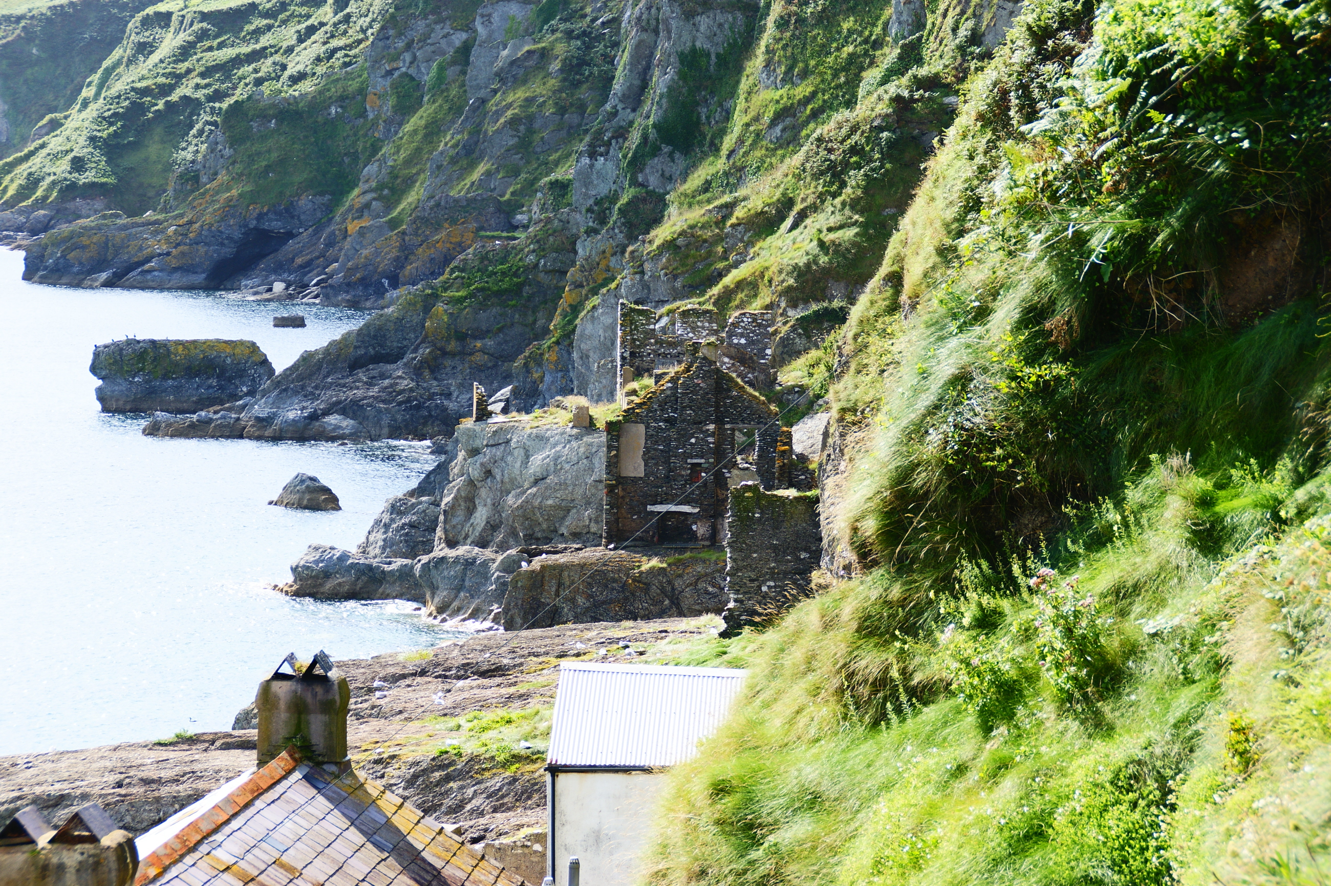
Pinnacles is a small, uninhabited island located in the county of Devon, England. Situated off the coast of South Devon, it is part of the South Devon AONB (Area of Outstanding Natural Beauty) and is known for its rugged beauty and diverse wildlife.
Covering an area of approximately 10 hectares, Pinnacles is characterized by its dramatic cliffs and rocky outcrops, which rise steeply from the surrounding sea. These cliffs provide nesting sites for seabirds such as guillemots, razorbills, and kittiwakes, making it an important breeding ground for these species.
The island is also home to a variety of plant species, including grasses, ferns, and wildflowers. Its exposed position and harsh weather conditions have shaped the vegetation, resulting in a unique and hardy plant community.
Access to Pinnacles is limited due to its remote location and protected status. However, the island can be visited by boat or kayak, and a range of guided tours are available for nature enthusiasts and wildlife lovers. These tours provide an opportunity to explore the island's rugged coastline, observe its resident bird populations, and appreciate the unspoiled natural beauty of the area.
Pinnacles, Devon, is a haven for wildlife and a place of stunning natural beauty, offering visitors a chance to experience the wild side of this picturesque region of England.
If you have any feedback on the listing, please let us know in the comments section below.
Pinnacles Images
Images are sourced within 2km of 50.219821/-3.6617191 or Grid Reference SX8136. Thanks to Geograph Open Source API. All images are credited.


Pinnacles is located at Grid Ref: SX8136 (Lat: 50.219821, Lng: -3.6617191)
Administrative County: Devon
Police Authority: Devon and Cornwall
What 3 Words
///contact.removable.reinvest. Near Salcombe, Devon
Related Wikis
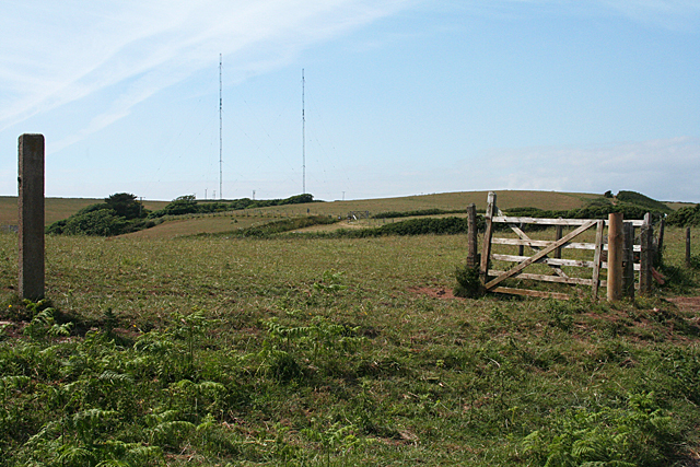
Start Point transmitting station
The Start Point transmitting station is a broadcasting facility at Start Point, Devon, owned by Arqiva. The site is just north-west of the Start Point...

Start Point, Devon
Start Point is a promontory in the South Hams district in Devon, England, grid reference SX832370. Close to the most southerly point in the county, it...
Hallsands
Hallsands is a village and beach in south Devon, England, in a precarious position between cliffs and the sea, between Beesands to the north and Start...

Chivelstone
Chivelstone is a village and civil parish in Devon, England. The parish contains the villages of East Prawle and South Allington as well as the hamlets...
Nearby Amenities
Located within 500m of 50.219821,-3.6617191Have you been to Pinnacles?
Leave your review of Pinnacles below (or comments, questions and feedback).