Cubley, Little

Settlement in Derbyshire Derbyshire Dales

England

Cubley, Little

Looking across the fields The view from Hollyhurst Lane across a farm gate and frozen fields.
Looking across the fields Credit: Malcolm Neal

Cubley is a small village located in the Derbyshire Dales, in the East Midlands region of England. Situated just 6 miles southwest of the city of Derby, Cubley is part of the civil parish of Little, Derbyshire. With a population of approximately 400 residents, the village is known for its picturesque countryside and charming rural setting.

The village of Cubley has a rich history, with records dating back to the Domesday Book of 1086. It was originally an agricultural community, relying heavily on farming and livestock rearing. Today, the village still retains its rural character, with several working farms surrounding the area.

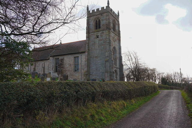
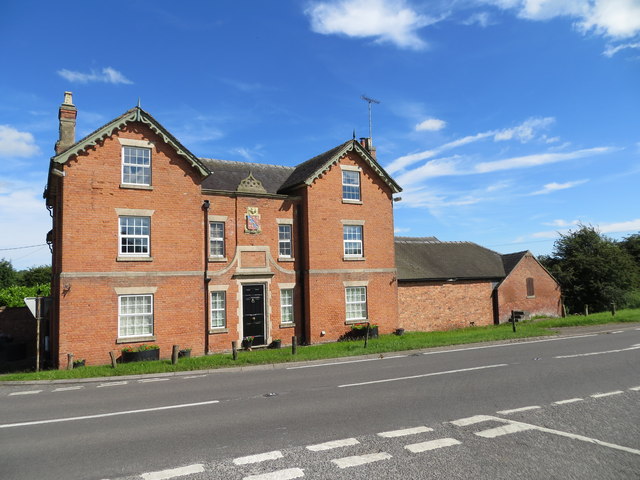
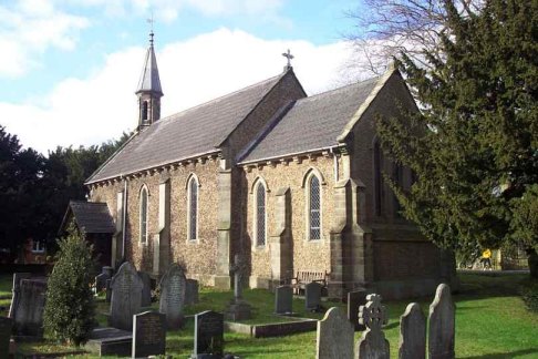
Cubley is home to a beautiful 14th-century church, St. Andrew's, which is a Grade II listed building. The church serves as a focal point for the community and hosts regular services and events. Additionally, the village boasts a well-maintained village hall, providing a space for various social activities and gatherings.

Despite its small size, Cubley offers a range of amenities for its residents. These include a local pub, The Cubley Hall, which offers a friendly atmosphere and traditional British cuisine. The village also has a primary school, providing education for children in the local area.

Surrounded by the stunning Derbyshire countryside, Cubley is an ideal location for nature lovers and outdoor enthusiasts. The nearby Peak District National Park offers ample opportunities for hiking, cycling, and exploring the scenic landscapes.

Overall, Cubley is a charming village with a strong sense of community, making it an attractive place to live for those seeking a peaceful and idyllic lifestyle.

If you have any feedback on the listing, please let us know in the comments section below.

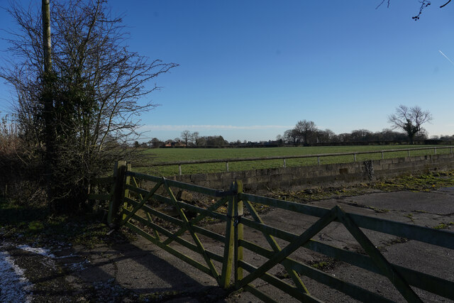
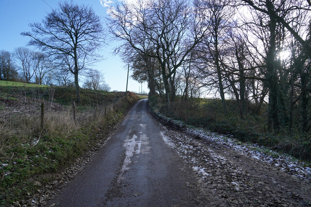
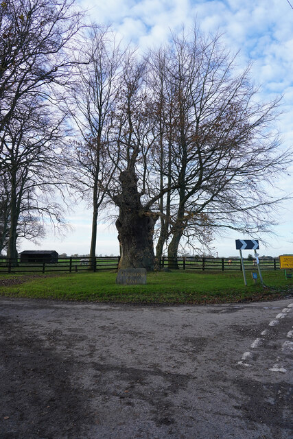
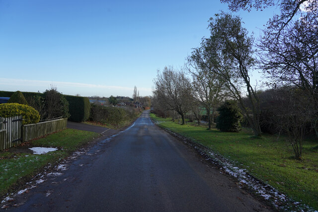
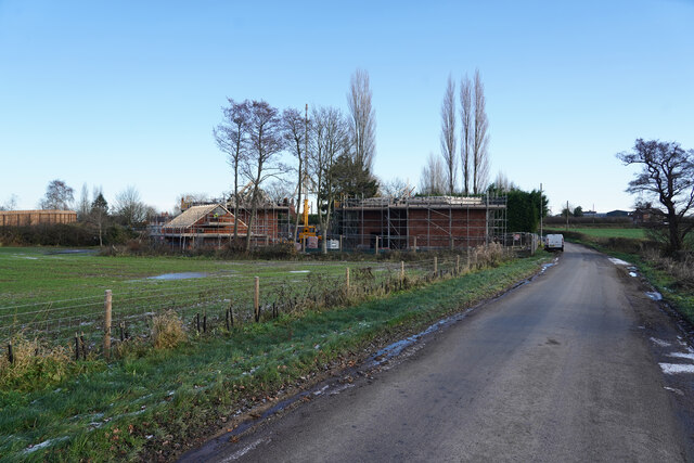
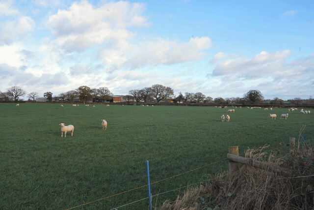
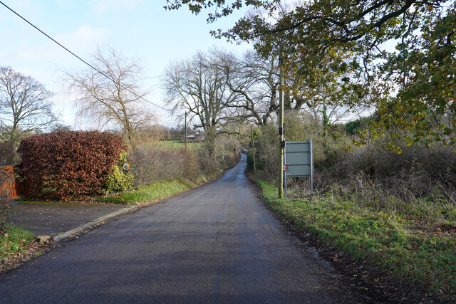
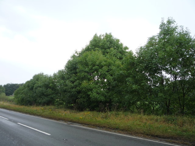
Cubley, Little Images

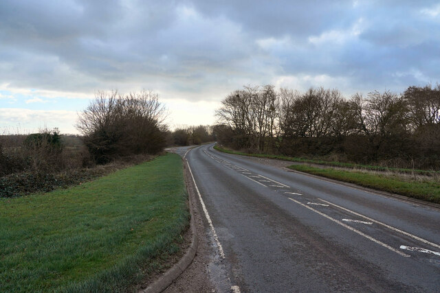
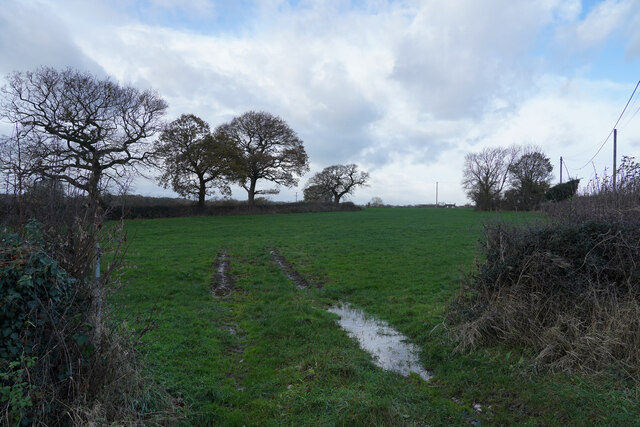
Images are sourced within 2km of 52.93554/-1.76191 or Grid Reference SK1637. Thanks to Geograph Open Source API. All images are credited.

Looking across the fields The view from Hollyhurst Lane across a farm gate and frozen fields.
Looking across the fields
The view from Hollyhurst Lane across a farm gate and frozen fields.
Hollyhurst Lane Every where there is some shade the frost still lies on the road.
Hollyhurst Lane
Every where there is some shade the frost still lies on the road.
Vernon's Oak I do not know who Vernon was, or is, but the large Oak has a stone name plaque in front of it as it grows by the junction of Oak Lane and a seemingly unnamed very minor road.
Vernon's Oak
I do not know who Vernon was, or is, but the large Oak has a stone name plaque in front of it as it grows by the junction of Oak Lane and a seemingly unnamed very minor road.
Oak Lane No doubt Oak Lane is named after Vernon's Oak which is a little way behind the camera position.
Oak Lane
No doubt Oak Lane is named after Vernon's Oak which is a little way behind the camera position.
New houses in the country The houses are being built near the end of Oak Lane just before it joins the Ashbourne Road, the A515.
New houses in the country
The houses are being built near the end of Oak Lane just before it joins the Ashbourne Road, the A515.
Rough Grounds Farm The sheep were quite curious as I took their picture looking towards the farm house and buildings of Rough Grounds Farm.
Rough Grounds Farm
The sheep were quite curious as I took their picture looking towards the farm house and buildings of Rough Grounds Farm.
Derby Lane Looking along Derby Lane at Cubley.
Derby Lane
Looking along Derby Lane at Cubley.
St. Andrew's Church Cubley The parish church for the little village of Cubley with a rectory on the hill behind the church.
St. Andrew's Church Cubley
The parish church for the little village of Cubley with a rectory on the hill behind the church.
The Ashbourne Road The Ashbourne Road or A515 was a very busy road this Saturday morning.
The Ashbourne Road
The Ashbourne Road or A515 was a very busy road this Saturday morning.
A wet field entrance Following the snow melt it is not surprising there is water in the tractor wheel ruts in the field entrance.
A wet field entrance
Following the snow melt it is not surprising there is water in the tractor wheel ruts in the field entrance.
A stubble field The field belongs to Holyhurst Farm and presumably is waiting for the soil to dry before it can be ploughed.
A stubble field
The field belongs to Holyhurst Farm and presumably is waiting for the soil to dry before it can be ploughed.
Ordnance Survey Flush Bracket S9581 This can be found on the roadside wall of the former Howard Arms PH in Cubley.
For more detail see : <span class="nowrap"><a title="http://www.bench-marks.org.uk/bm11429" rel="nofollow ugc noopener" href="http://www.bench-marks.org.uk/bm11429">Link</a><img style="margin-left:2px;" alt="External link" title="External link - shift click to open in new window" src="https://s1.geograph.org.uk/img/external.png" width="10" height="10"/></span>
Ordnance Survey Flush Bracket S9581
This can be found on the roadside wall of the former Howard Arms PH in Cubley. For more detail see : LinkExternal link
The former Howard Arms PH at Cubley Looking eastward across the A515.
The former Howard Arms PH at Cubley
Looking eastward across the A515.
Trees beside the A515
A515 near Cubley Lodge Looking north west.
A515 near Cubley Lodge
Looking north west.
Field of beans Off Oak Lane - looking towards Sudbury Coppice.
Field of beans
Off Oak Lane - looking towards Sudbury Coppice.
Oaks Lane near Elm Tree Cottage Looking north west.
Oaks Lane near Elm Tree Cottage
Looking north west.
Vernon's Oak Cottages On Oak Lane.
Vernon's Oak Cottages
On Oak Lane.
Show me another place!

Cubley, Little is located at Grid Ref: SK1637 (Lat: 52.93554, Lng: -1.76191)

Administrative County: Derbyshire

District: Derbyshire Dales

Police Authority: Derbyshire

What 3 Words

///correct.fatigued.guideline. Near Doveridge, Derbyshire

Related Wikis

St Andrew's Church, Cubley

St Andrew's Church, Cubley is a Grade I listed parish church in the Church of England in Cubley, Derbyshire. == History == The church dates from the mid...

Cubley, Derbyshire

Cubley is a parish of two closely linked villages six miles (10 km) south of Ashbourne in Derbyshire. Great Cubley and Little Cubley are known collectively...

Hungry Bentley

Hungry Bentley is a deserted medieval village and civil parish in the Derbyshire Dales district of Derbyshire, England, between Uttoxeter and Derby. The...

Alkmonton

Alkmonton is a village and civil parish in the Derbyshire Dales district of Derbyshire, England, roughly between Uttoxeter and Derby. The parish had a...

Nearby Amenities

Located within 500m of 52.93554,-1.76191
Post Box
Brand: Royal Mail
Brand Wikidata: Q638098
Brand Wikipedia: en:Royal Mail
Operator: Royal Mail
Operator Wikidata: Q638098
Ref: DE6 883
Lat/Long: 52.9351758/-1.756443
Barrier: stile
Ele: 117.0000000
Steps: 2
Stile: stepover
Lat/Long: 52.9360513/-1.7619977
Barrier: stile
Ele: 115.0000000
Steps: 1
Stile: stepover
Lat/Long: 52.936081/-1.7616094
Barrier: stile
Ele: 113.0000000
Steps: 1
Stile: stepover
Lat/Long: 52.936085/-1.7614472
Barrier: stile
Ele: 93.0000000
Steps: 0
Stile: stepover
Lat/Long: 52.9362839/-1.7581977
Ele: 93.0000000
Lat/Long: 52.9362502/-1.757842
Ele: 93.0000000
Lat/Long: 52.9362481/-1.7578137
Barrier: stile
Ele: 92.0000000
Steps: 1
Stile: stepover
Lat/Long: 52.936292/-1.7583323
Barrier: stile
Ele: 93.0000000
Steps: 0
Stile: stepover
Lat/Long: 52.9362855/-1.7582151
Ele: 98.0000000
Lat/Long: 52.9364237/-1.7564636
Barrier: stile
Ele: 97.0000000
Steps: 1
Stile: stepover
Lat/Long: 52.9364075/-1.7565414
Ele: 95.0000000
Lat/Long: 52.9371465/-1.756409
Bench
Lat/Long: 52.9352375/-1.7565692
Barrier: stile
Steps: 2
Stile: stepover
Lat/Long: 52.9344919/-1.7605274
Barrier: stile
Steps: 1
Stile: stepover
Lat/Long: 52.9321092/-1.7638785
Little Cubley
Place: hamlet
Lat/Long: 52.9356042/-1.7614752
Direction: SSE
Generator Method: photovoltaic
Generator Output Electricity: yes
Generator Solar Modules: 12
Generator Source: solar
Generator Type: solar_photovoltaic_panel
Location: roof
Power: generator
Lat/Long: 52.933696/-1.7560101
The data included in this document is from www.openstreetmap.org. The data is made available under ODbL.

Have you been to Cubley, Little?

Leave your review of Cubley, Little below (or comments, questions and feedback).