Ball Rock
Island in Devon South Hams
England
Ball Rock
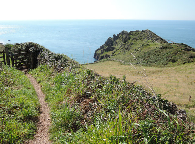
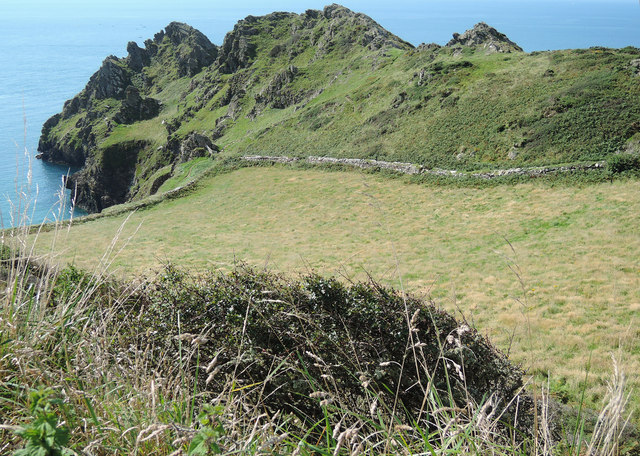
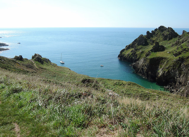
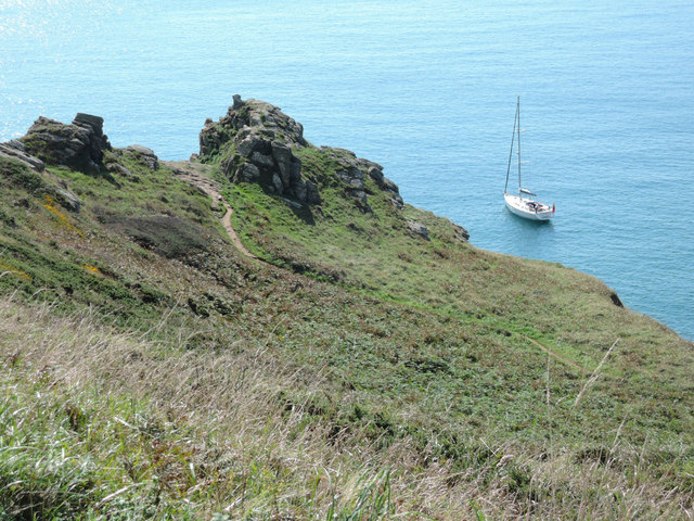
Ball Rock is a small island located off the coast of Devon, England. Situated in the English Channel, it lies approximately 2 kilometers south of the popular tourist destination, Torquay. The island is known for its distinctive appearance and unique geological features.
Measuring just 200 meters long and 50 meters wide, Ball Rock is a rocky outcrop that rises about 10 meters above sea level. Its rugged terrain is composed of granite and is largely barren, dotted only with sparse vegetation and low-lying shrubs.
Due to its exposed location and challenging access, Ball Rock is uninhabited and devoid of any permanent structures. Nevertheless, its striking presence has made it a well-known landmark, attracting the attention of boaters, kayakers, and nature enthusiasts who appreciate its isolated beauty.
The island is also renowned for its abundant wildlife. Seabirds such as gulls, cormorants, and fulmars can be spotted nesting on the cliffs, while seals and dolphins are often seen swimming in the surrounding waters. The area surrounding Ball Rock is designated as a Site of Special Scientific Interest (SSSI) due to the diverse marine life it supports.
Although not accessible to the public, Ball Rock can be admired from a distance, offering a picturesque backdrop to the coastal landscape of Devon. Its rocky shores and unique geological formations make it a fascinating natural feature, contributing to the rich biodiversity and scenic appeal of the region.
If you have any feedback on the listing, please let us know in the comments section below.
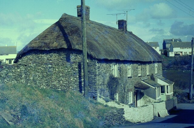
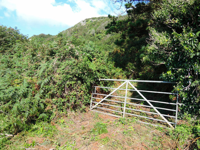
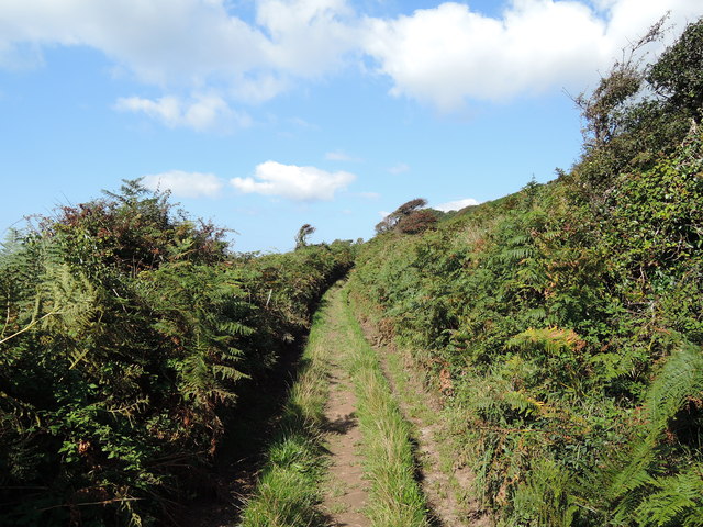
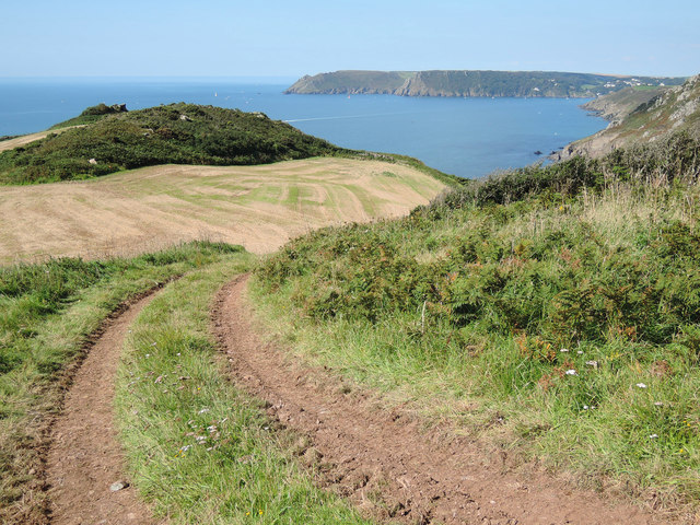
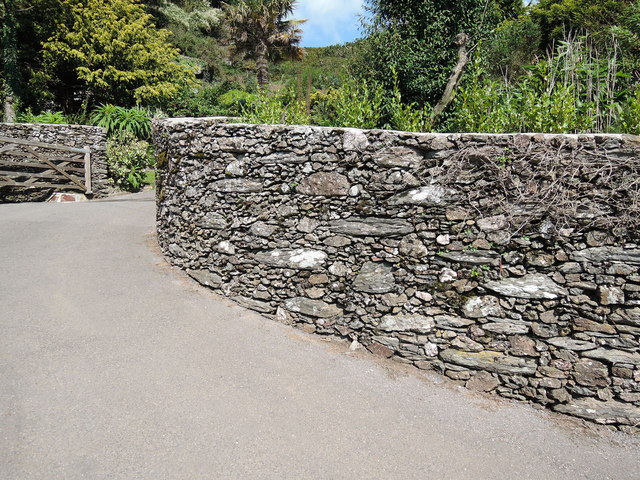
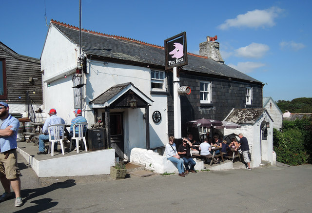
Ball Rock Images
Images are sourced within 2km of 50.208268/-3.7327929 or Grid Reference SX7635. Thanks to Geograph Open Source API. All images are credited.


Ball Rock is located at Grid Ref: SX7635 (Lat: 50.208268, Lng: -3.7327929)
Administrative County: Devon
District: South Hams
Police Authority: Devon and Cornwall
What 3 Words
///frostbite.neck.ruby. Near Salcombe, Devon
Nearby Locations
Related Wikis

Moor Sand site
The remains of a wreck carrying cargo of Middle Bronze Age weapons was found in 1977 off Moor Sand, Gammon Head, South Hams, Devon, England. The site was...
Salcombe Cannon Wreck
The Salcombe Cannon wrecksite is close to two other designated wrecksites in the Erme Estuary which the South West Maritime Archaeological Group (SWMAG...

Prawle Point
Prawle Point (Old English: Prǣwhyll, "lookout hill") is a coastal headland in south Devon, England. It is the southernmost point of Devon. Just to the...

RNAS Prawle Point
The RNAS Naval Air Station Prawle Point was a British First World War airfield outside the village of East Prawle in Devon, England and 2.6 miles (4.2...

East Prawle
East Prawle is a village in Chivelstone parish in the South Hams district of Devon, England. It is situated on the coast south east of Salcombe, near the...

East Portlemouth
East Portlemouth is a small Devon village situated at the southern end of the Kingsbridge Estuary, on the south Devon Coast. The population of this parish...

Chivelstone
Chivelstone is a village and civil parish in Devon, England. The parish contains the villages of East Prawle and South Allington as well as the hamlets...

Salcombe Castle
Salcombe Castle or Fort Charles is a ruined fortification just off the beach of North Sands in Salcombe, Devon, England, within the South Devon Area of...
Nearby Amenities
Located within 500m of 50.208268,-3.7327929Have you been to Ball Rock?
Leave your review of Ball Rock below (or comments, questions and feedback).