Crawley, Little

Settlement in Buckinghamshire

England

Crawley, Little

Road towards North Crawley By Home Close Farm and Ivy Cottage.
Road towards North Crawley Credit: Robin Webster

Crawley is a small village located in the district of Aylesbury Vale, in the county of Buckinghamshire, England. Situated approximately 4 miles southeast of the town of Bicester and 12 miles northwest of the city of Oxford, Crawley is nestled amidst the picturesque countryside of the region.

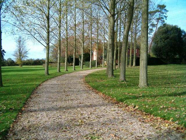
The village dates back to medieval times and still retains much of its historic charm. Its quaint thatched cottages, traditional red-brick houses, and ancient stone walls add to its idyllic appeal. The centerpiece of the village is the Church of St. Mary, a beautiful 13th-century church that stands as a testament to Crawley's rich heritage.

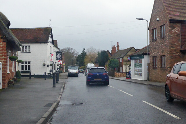
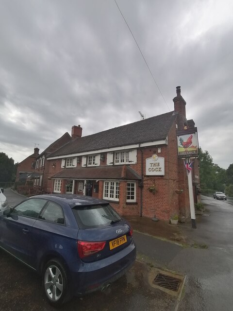
Despite its small size, Crawley offers a range of amenities to its residents. These include a village hall, a primary school, and a village pub, where locals can gather for a pint and a chat. The village is surrounded by rolling hills, providing ample opportunities for outdoor activities such as walking, hiking, and cycling.

Crawley's location makes it a desirable place to live for those seeking a peaceful and rural setting, while still being within commuting distance of larger towns and cities. The nearby Bicester Village, a luxury shopping outlet, attracts visitors from far and wide, further enhancing the area's appeal.

In summary, Crawley is a charming and historic village in the heart of Buckinghamshire, offering a tranquil way of life amidst stunning natural scenery.

If you have any feedback on the listing, please let us know in the comments section below.

Crawley, Little Images

Images are sourced within 2km of 52.097346/-0.656184 or Grid Reference SP9245. Thanks to Geograph Open Source API. All images are credited.

Road towards North Crawley By Home Close Farm and Ivy Cottage.
Road towards North Crawley
By Home Close Farm and Ivy Cottage.
High Street, North Crawley
Road towards Newport Pagnell Through Brook End, North Crawley.
Road towards Newport Pagnell
Through Brook End, North Crawley.
The Cock North Crawley
Chicheley: Barley field
Chicheley: Wheat field
Chicheley: Track to Grange Farm
Little Crawley: Gog Lane
Ford near North Crawley Increased in both length and depth by winter rainfall, the ford at East End between North Crawley and Cranfield.
Ford near North Crawley
Increased in both length and depth by winter rainfall, the ford at East End between North Crawley and Cranfield.
Hurstend Farm Hurstend Farm is now being used as a rural industrial estate.
Hurstend Farm
Hurstend Farm is now being used as a rural industrial estate.
North Crawley The centre of the village, with two public houses!
North Crawley
The centre of the village, with two public houses!
Rectory Farm Rectory Farm and the entrance to Wellies day nursery.
Rectory Farm
Rectory Farm and the entrance to Wellies day nursery.
Little Crawley The hamlet of Little Crawley
Little Crawley
The hamlet of Little Crawley
Little Crawley A different view of the few dwellings that make up Little Crawley
Little Crawley
A different view of the few dwellings that make up Little Crawley
Feeling Tyred? A pile of old wheels, left by the roadside.
Feeling Tyred?
A pile of old wheels, left by the roadside.
Ploughed Field A ploughed field next to the road from Little Crawley to Little End/Chicheley.
Ploughed Field
A ploughed field next to the road from Little Crawley to Little End/Chicheley.
Show me another place!

Crawley, Little is located at Grid Ref: SP9245 (Lat: 52.097346, Lng: -0.656184)

Unitary Authority: Milton Keynes

Police Authority: Thames Valley

What 3 Words

///clipboard.vanilla.rope. Near Chicheley, Buckinghamshire

Related Wikis

North Crawley

North Crawley is a village and civil parish in the unitary authority area of the City of Milton Keynes, Buckinghamshire, England. It is located near...

Chicheley Hall

Chicheley Hall, Chicheley, Buckinghamshire, England is a country house built in the first quarter of the 18th century. The client was Sir John Chester...

Chicheley War Memorial

Chicheley War Memorial is located in Hall Lane, Chicheley, Buckinghamshire, England. It is a grade II listed building with Historic England. It was designed...

Chicheley

Chicheley is a village and civil parish in the unitary authority area of the City of Milton Keynes, Buckinghamshire, England. The village is about 2.5...

Hardmead

Hardmead is a small village in the unitary authority area of the City of Milton Keynes, Buckinghamshire, England. It is in the north of the Borough, about...

St Mary's Church, Hardmead

St Mary's Church is a redundant Anglican church in the village of Hardmead, Buckinghamshire, England. It is recorded in the National Heritage List for...

Cranfield School of Management

Cranfield School of Management, established in 1967, is a business school that is part of Cranfield University in Bedfordshire, United Kingdom. Cranfield...

Cranfield University

Cranfield University is a British postgraduate-only public research university specialising in science, engineering, design, technology and management...

Nearby Amenities

Located within 500m of 52.097346,-0.656184
Little Crawley
Place: hamlet
Source: OS_OpenData_StreetView
Lat/Long: 52.0979462/-0.6563655
Barrier: stile
Lat/Long: 52.0976346/-0.6545823
Barrier: stile
Lat/Long: 52.0966713/-0.6533107
Barrier: kissing_gate
Lat/Long: 52.095678/-0.6494145
Post Box
Brand: Royal Mail
Brand Wikidata: Q638098
Brand Wikipedia: en:Royal Mail
Collection Times: Mo-Fr 09:00; Sa 07:00
Operator: Royal Mail
Operator Wikidata: Q638098
Post Box Type: lamp
Ref: MK16 240D
Royal Cypher: GVIR
Royal Cypher Wikidata: Q33102169
Source: survey
Survey Date: 2017-09-03
Lat/Long: 52.0982564/-0.6554672
Barrier: stile
Lat/Long: 52.0987353/-0.6582569
Barrier: stile
Lat/Long: 52.1013408/-0.6540349
Barrier: stile
Lat/Long: 52.1002792/-0.6617089
Barrier: stile
Lat/Long: 52.1001721/-0.6524419
Barrier: stile
Lat/Long: 52.0977407/-0.6544131
Barrier: kissing_gate
Lat/Long: 52.0976534/-0.6512668
Barrier: kissing_gate
Lat/Long: 52.0976402/-0.6512534
Direction: 180
Generator Method: photovoltaic
Generator Output Electricity: yes
Generator Solar Modules: 13
Generator Source: solar
Generator Type: solar_photovoltaic_panel
Location: roof
Power: generator
Lat/Long: 52.0950425/-0.649944
Turning Circle
Turning Circle: knuckle
Lat/Long: 52.0946718/-0.6519482
Direction: 140
Generator Method: photovoltaic
Generator Output Electricity: yes
Generator Solar Modules: 16
Generator Source: solar
Generator Type: solar_photovoltaic_panel
Location: roof
Power: generator
Lat/Long: 52.0987675/-0.6552277
The data included in this document is from www.openstreetmap.org. The data is made available under ODbL.

Have you been to Crawley, Little?

Leave your review of Crawley, Little below (or comments, questions and feedback).