Barney Bank
Island in Devon South Hams
England
Barney Bank

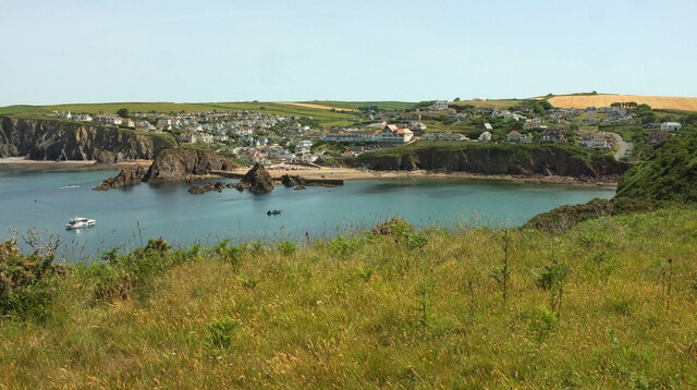
Barney Bank is a small island located off the coast of Devon, England. Situated in the English Channel, it is part of the South West region of the country. The island is approximately 1.5 kilometers in length and 1 kilometer in width, with a total land area of around 1.3 square kilometers.
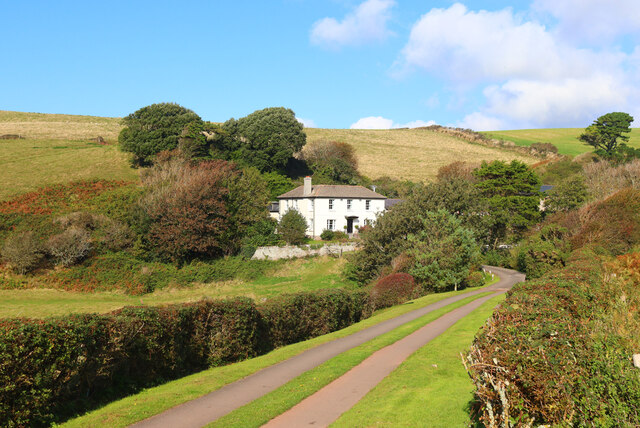
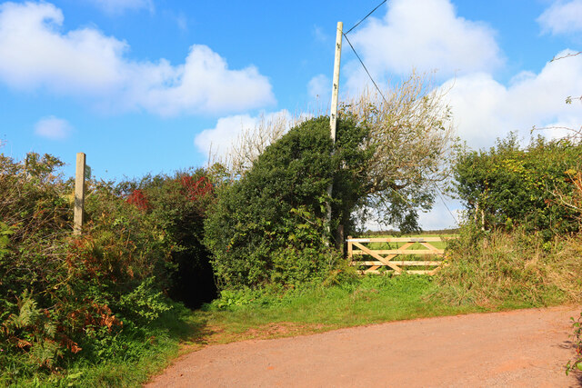
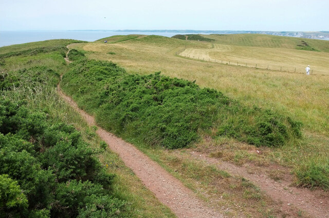
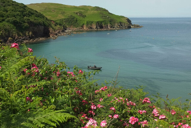
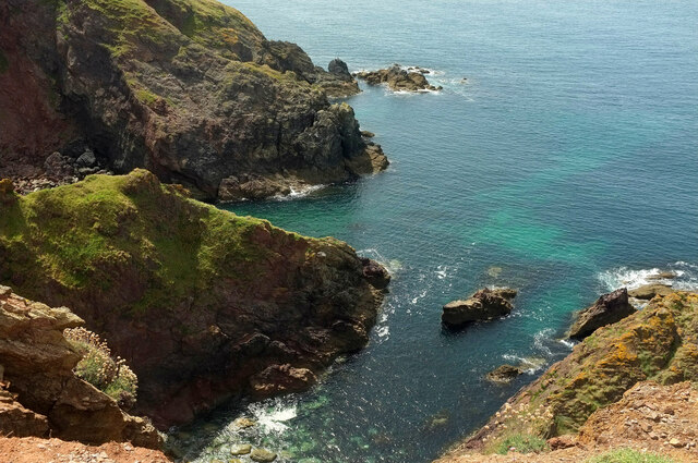
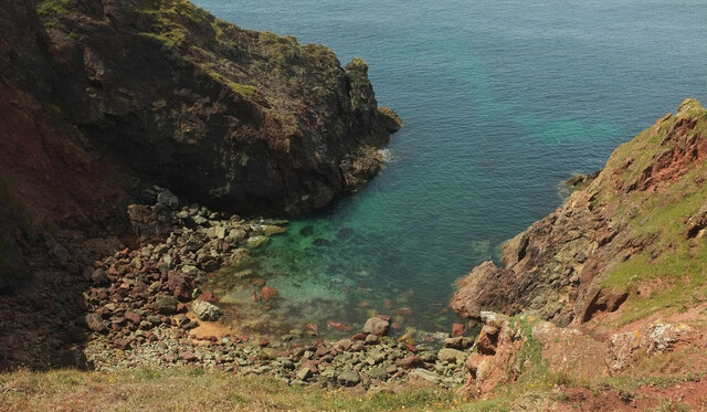
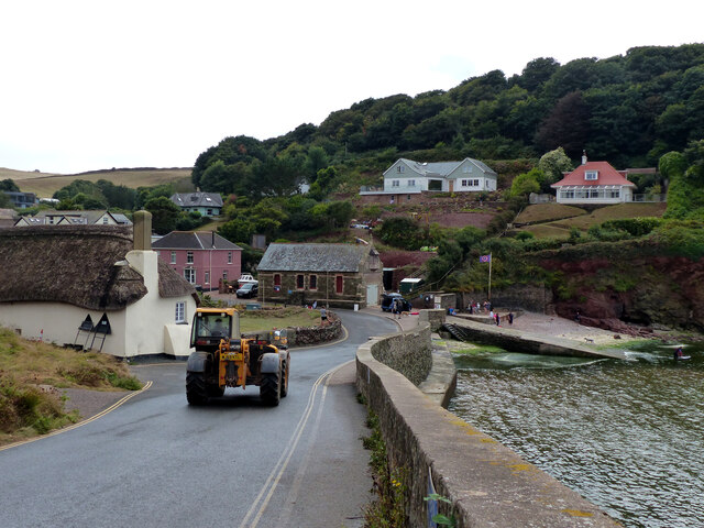
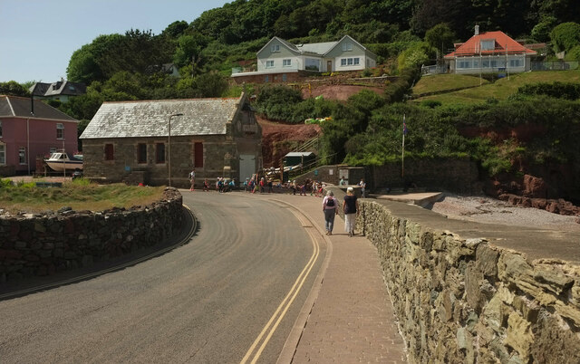
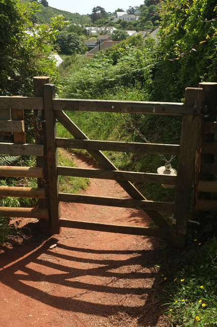
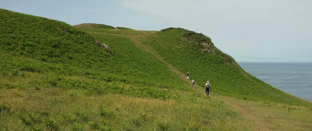
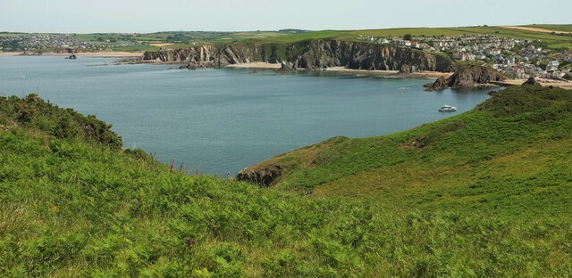
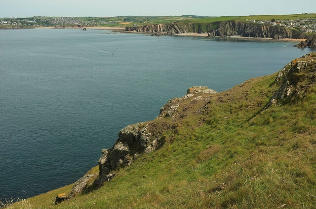
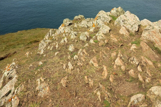
Barney Bank is known for its picturesque landscapes and untouched natural beauty. The island is characterized by rolling green hills, rugged cliffs, and sandy beaches. It is a haven for wildlife, with numerous species of birds, seals, and other marine life inhabiting the surrounding waters.
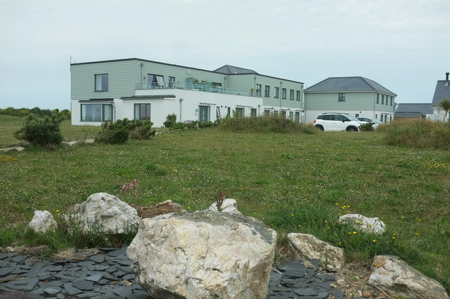
Access to Barney Bank is limited, with no regular ferry or boat services available. The island is predominantly privately owned, with only a handful of small cottages and farmhouses scattered across its terrain. As a result, it offers a secluded and tranquil retreat for those seeking an escape from the hustle and bustle of city life.
The island has a rich history, dating back centuries. It was once used as a fishing and farming community, with evidence of old ruins and structures still visible today. Barney Bank also played a role in the defense of the coastline during World War II, with remnants of coastal defenses and lookout posts found along its shores.
Overall, Barney Bank is a hidden gem on the Devon coastline, offering visitors a unique opportunity to immerse themselves in nature and explore the island's rich history.
If you have any feedback on the listing, please let us know in the comments section below.
Barney Bank Images
Images are sourced within 2km of 50.244693/-3.8613537 or Grid Reference SX6739. Thanks to Geograph Open Source API. All images are credited.
Barney Bank is located at Grid Ref: SX6739 (Lat: 50.244693, Lng: -3.8613537)
Administrative County: Devon
District: South Hams
Police Authority: Devon and Cornwall
What 3 Words
///foam.decorated.tickles. Near Salcombe, Devon
Nearby Locations
Related Wikis
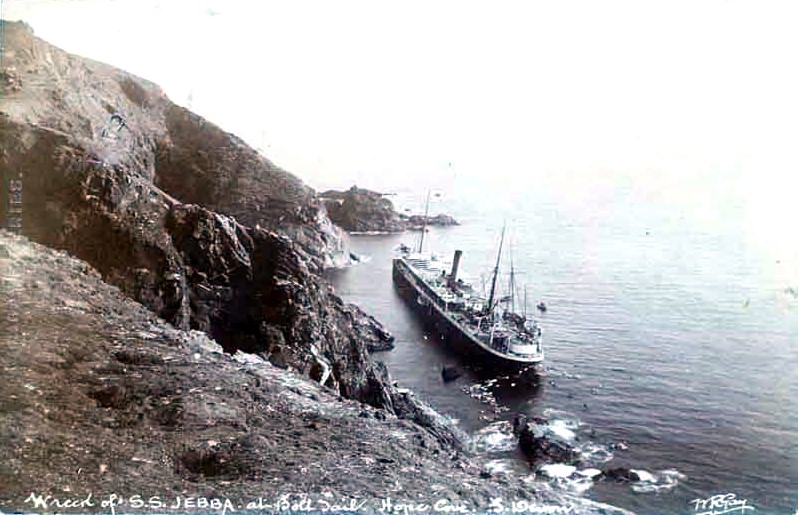
SS Jebba
SS Jebba was a steamship that was built in Middlesbrough in 1896 and wrecked on the south coast of Devon in 1907. She was launched as Albertville for the...

Bolt Tail
Bolt Tail is a headland in Devon, England, immediately to the southwest of Hope Cove in the South Hams district, at grid reference SX670397. Bolt Tail...

Hope Cove Life Boat
Hope Cove Life Boat (based in Hope Cove, Devon) was formed in 1878 and is a voluntary search and rescue service that operates an inshore rescue boat in...
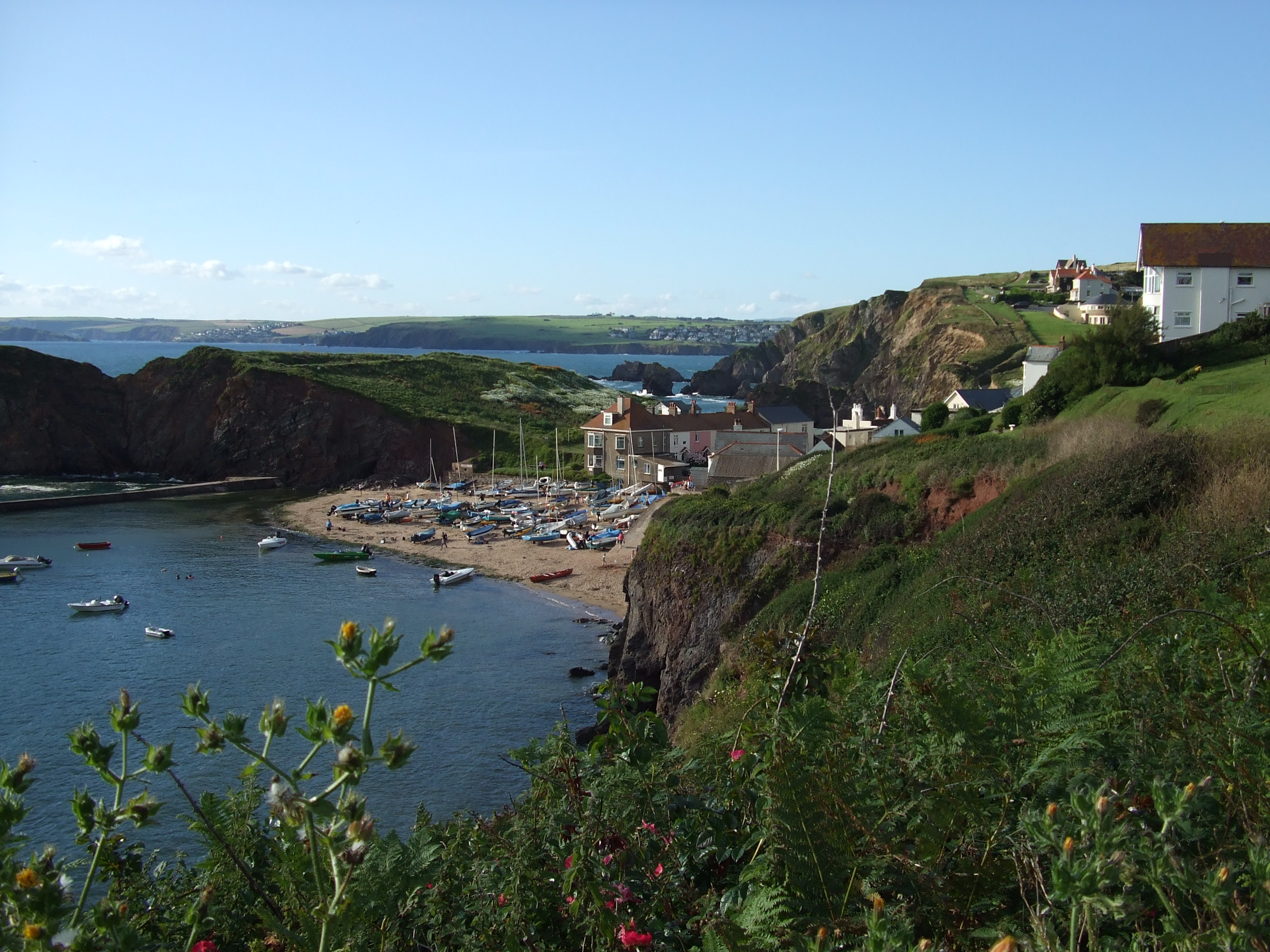
Hope Cove
Hope Cove is a small seaside village within the civil parish of South Huish in South Hams District, Devon, England. It is located 5 miles (8.0 km) west...

SS Louis Sheid
SS Louis Sheid was a 6,057 ton Belgian steamer that ran aground off Devon after escaping U-47 following the rescue of the captain and crew of the freighter...

Galmpton, South Hams
Galmpton is a small hamlet near Thurlestone, Devon, England. It is in the South Hams district and is five miles west of Salcombe. In 1870-72 Galmpton had...

Bolberry Down
Bolberry Down is a clifftop area on the coast of Devon, England. The headland of Bolt Tail lies to the west and Bolt Head and the town of Salcombe to the...
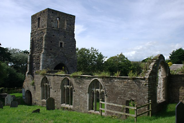
St Andrew's Church, South Huish
St Andrew's Church is a ruined church in South Huish, South Hams, Devon, England. It is recorded in the National Heritage List for England as a designated...
Nearby Amenities
Located within 500m of 50.244693,-3.8613537Have you been to Barney Bank?
Leave your review of Barney Bank below (or comments, questions and feedback).