Birch Island

Island in Kirkcudbrightshire

Scotland

Birch Island

Fire rings,  Near Boddon's Island Like most accessible lochside spots, badly damaged.
Fire rings, Near Boddon's Island Credit: Richard Webb

Birch Island is a small island located off the coast of Kirkcudbrightshire, a historic county in the southwest of Scotland. Situated in the Solway Firth, Birch Island is part of the larger group of islands known as the Southern Isles.

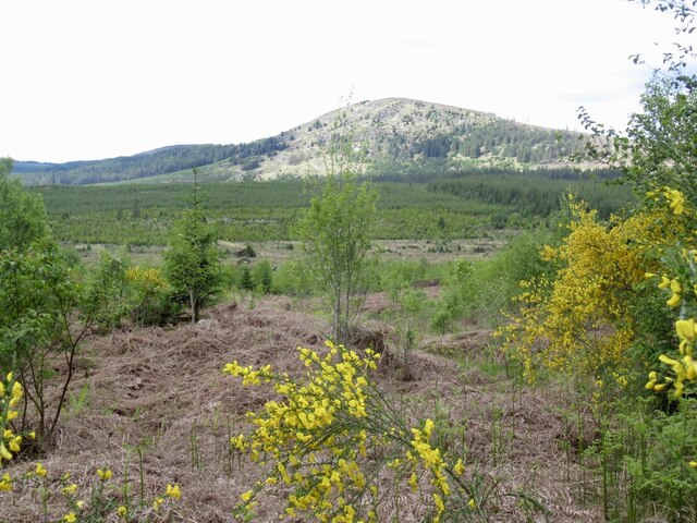
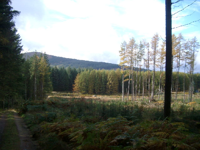
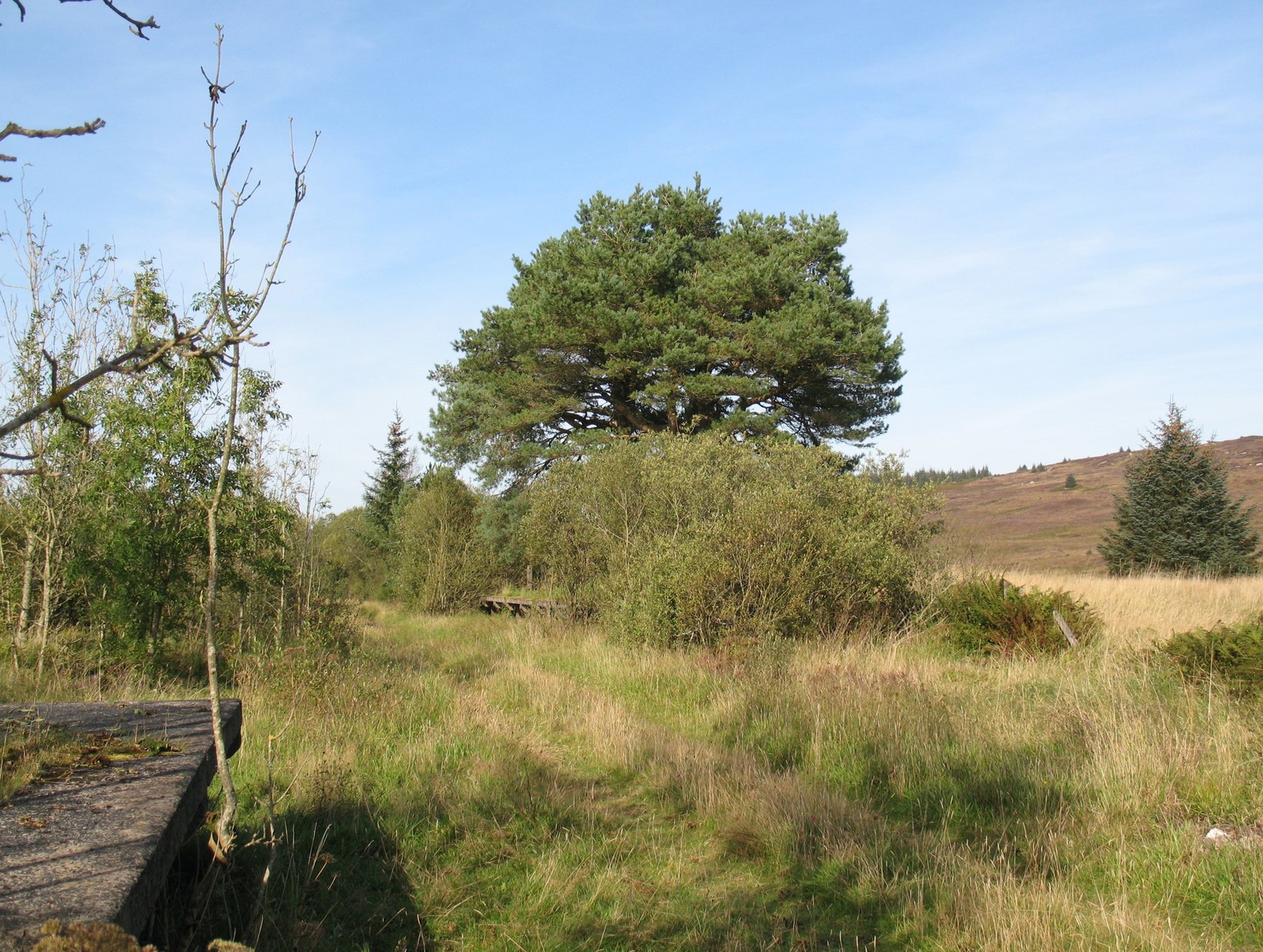
Covering an area of approximately 10 acres, Birch Island is predominantly covered in lush vegetation, specifically a dense growth of birch trees, from which it derives its name. The island's terrain is relatively flat, with a few gentle slopes leading down to the rocky shoreline.

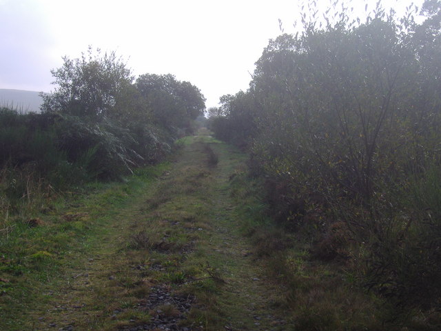
Access to Birch Island is limited, as there are no regular ferry services or bridges connecting it to the mainland. However, it is possible to reach the island by private boat or kayak during low tide, when a sandbar emerges, creating a temporary land bridge.

The island is uninhabited and has no permanent structures, making it a pristine and untouched natural environment. It is, therefore, a popular destination for nature lovers, birdwatchers, and those seeking tranquil surroundings. The diverse vegetation on Birch Island attracts a variety of bird species, including migratory birds such as sandpipers and terns.

Visitors to Birch Island can explore its scenic trails, enjoy picnics on the beach, or simply take in the peaceful ambiance of the surroundings. It is important to note that as an uninhabited island, there are no facilities or amenities available, so visitors must come prepared with their own supplies.

Overall, Birch Island offers a unique opportunity to experience the beauty of Scotland's coastal landscape and enjoy a serene retreat away from the hustle and bustle of everyday life.

If you have any feedback on the listing, please let us know in the comments section below.
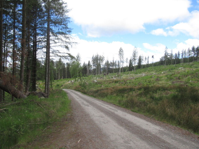
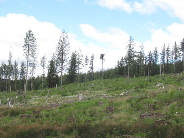
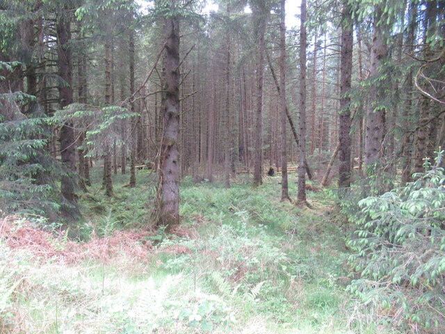
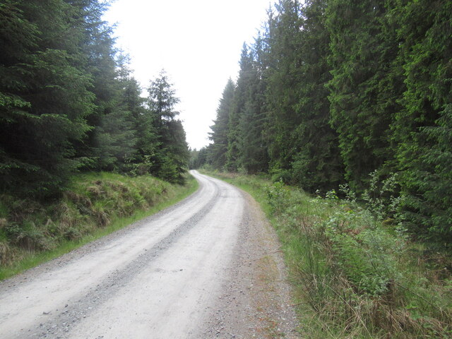
Birch Island Images

Images are sourced within 2km of 55.012127/-4.1635004 or Grid Reference NX6170. Thanks to Geograph Open Source API. All images are credited.

Fire rings,  Near Boddon's Island Like most accessible lochside spots, badly damaged.
Fire rings, Near Boddon's Island
Like most accessible lochside spots, badly damaged.
Raiders' Road
Raiders' Road
Mature conifers by the River Dee View from the Raiders' Road.
Mature conifers by the River Dee
View from the Raiders' Road.
Raiders' Road Accessible to private motors for the cost of the parking £3 at time of visit. The felled area is the site of a pre Forestry Commission woodland, Nether Gairloch Wood.
Raiders' Road
Accessible to private motors for the cost of the parking £3 at time of visit. The felled area is the site of a pre Forestry Commission woodland, Nether Gairloch Wood.
Nether Gairloch Wood The site of woodland which was here before the large scale Forestry Commission planting of the area.
Nether Gairloch Wood
The site of woodland which was here before the large scale Forestry Commission planting of the area.
Mature conifer plantation, Galloway Near the site of Holm Head, looking into the vastness of coniferous Galloway.
Mature conifer plantation, Galloway
Near the site of Holm Head, looking into the vastness of coniferous Galloway.
Raiders' Road Accessible to private motors for the cost of the parking £3 at time of visit.
Raiders' Road
Accessible to private motors for the cost of the parking £3 at time of visit.
Forestry and Shaw Hill, Galloway Forested granite country along the Dee.
Forestry and Shaw Hill, Galloway
Forested granite country along the Dee.
Barney Bridge The Barney Bridge over the Black Water of Dee.
Barney Bridge
The Barney Bridge over the Black Water of Dee.
Robert Fergusson's Gravestone The back side of Robert Fergusson's gravestone.
Robert Fergusson's Gravestone
The back side of Robert Fergusson's gravestone.
Black Water of Dee and Boddon's Island Taken on the Raiders Road through the Galloway forest to Clatteringshaws.
Black Water of Dee and Boddon's Island
Taken on the Raiders Road through the Galloway forest to Clatteringshaws.
Trees on Knowe Happle Taken from the Raiders Road through the Galloway Forest.
See <a href="https://www.geograph.org.uk/photo/71237">NX6370 : Black Water of Dee and Boddon's Island</a> for the view in the other direction.
Trees on Knowe Happle
Taken from the Raiders Road through the Galloway Forest. See NX6370 : Black Water of Dee and Boddon's Island for the view in the other direction.
Trees, Dee in the background Taken from the Raiders Road through the Galloway Forest.
This is a real 'can't see the forest for the trees' photo.
Trees, Dee in the background
Taken from the Raiders Road through the Galloway Forest. This is a real 'can't see the forest for the trees' photo.
Trees near Barney Water Black Water of Dee runs  just in front of the main black of Larches (you can just about see it at the far left hand edge).  I think the hill in the background is Airie Hill
Trees near Barney Water
Black Water of Dee runs just in front of the main black of Larches (you can just about see it at the far left hand edge). I think the hill in the background is Airie Hill
Dismantled railway between Stroan Loch and Loch Skerrow Although closed to public traffic, those staying at Airie farmhouse are free to drive this track. A 4x4 is advised! It is open to the public and it is possible to walk all the way along the old railway track to Gatehouse of Fleet.  Remote and peaceful.
Dismantled railway between Stroan Loch and Loch Skerrow
Although closed to public traffic, those staying at Airie farmhouse are free to drive this track. A 4x4 is advised! It is open to the public and it is possible to walk all the way along the old railway track to Gatehouse of Fleet. Remote and peaceful.
River Dee Otherwise known as the Blackwater of the River Dee
River Dee
Otherwise known as the Blackwater of the River Dee
Auchencloy Monument. This Covenanters Memorial is now visible from the forest road due to recent felling.  A burn has to be crossed to reach the memorial, which after heavy rain is impassable.
Auchencloy Monument.
This Covenanters Memorial is now visible from the forest road due to recent felling. A burn has to be crossed to reach the memorial, which after heavy rain is impassable.
Glengainoch Burn near Barney Water Picture taken looking upstream from the concrete bridge carrying the forest road leading to Loch Fleet.
Glengainoch Burn near Barney Water
Picture taken looking upstream from the concrete bridge carrying the forest road leading to Loch Fleet.
Show me another place!

Birch Island is located at Grid Ref: NX6170 (Lat: 55.012127, Lng: -4.1635004)

Unitary Authority: Dumfries and Galloway

Police Authority: Dumfries and Galloway

What 3 Words

///brew.research.finds. Near Castle Douglas, Dumfries & Galloway

Nearby Locations

Birch Island

Related Wikis

Skerrow

Skerrow was a burgh in Dumfries and Galloway, Scotland. Loch Skerrow Halt railway station, on the Portpatrick and Wigtownshire Joint Railway, served Skerrow...

Loch Skerrow Halt railway station

Loch Skerrow Halt railway station served the burgh of Skerrow, Dumfries and Galloway, Scotland on the Portpatrick and Wigtownshire Joint Railway. ��2...

New Galloway railway station

New Galloway railway station served the town of New Galloway in Dumfries and Galloway, Scotland, from 1861 to 1965 on the Portpatrick and Wigtownshire...

Galloway

Galloway (Scottish Gaelic: Gall-Ghàidhealaibh [ˈkal̪ˠaɣəl̪ˠu]; Scots: Gallowa; Latin: Gallovidia) is a region in southwestern Scotland comprising the historic...

Have you been to Birch Island?

Leave your review of Birch Island below (or comments, questions and feedback).