Holly Island
Island in Kirkcudbrightshire
Scotland
Holly Island

The requested URL returned error: 429 Too Many Requests
If you have any feedback on the listing, please let us know in the comments section below.
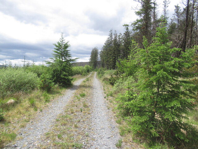
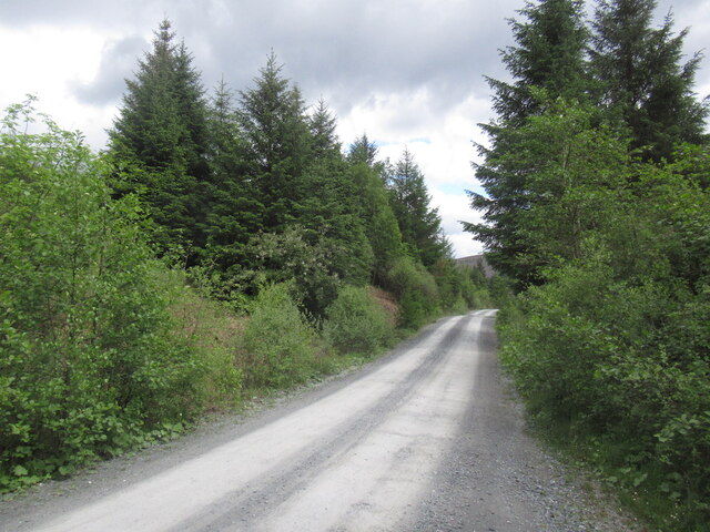
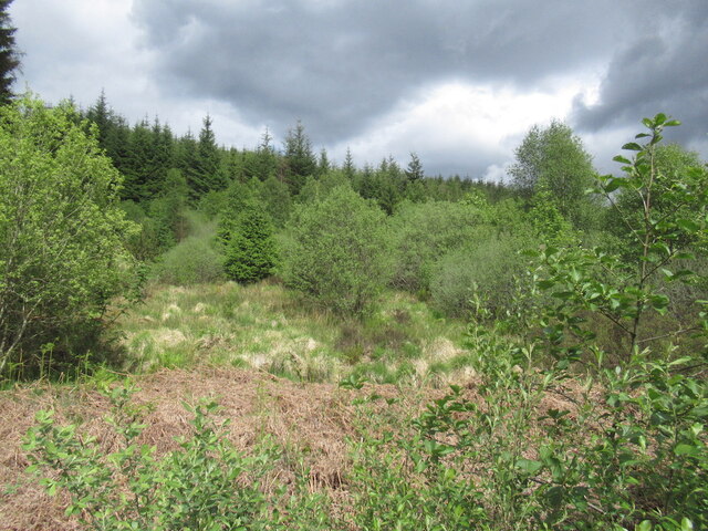
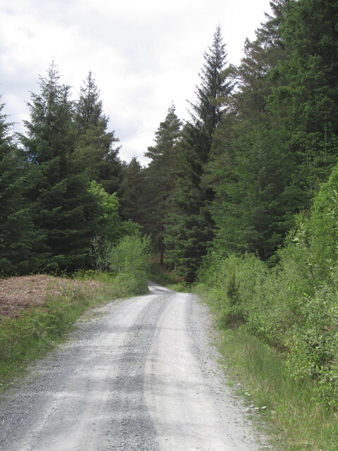
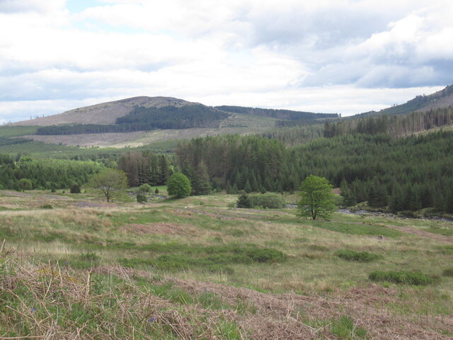
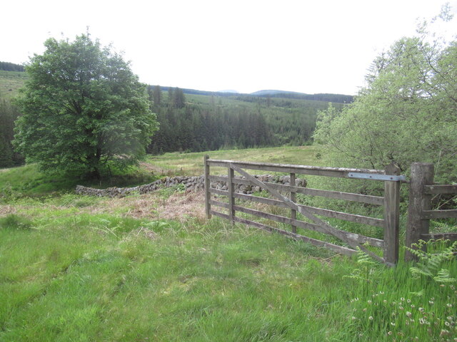
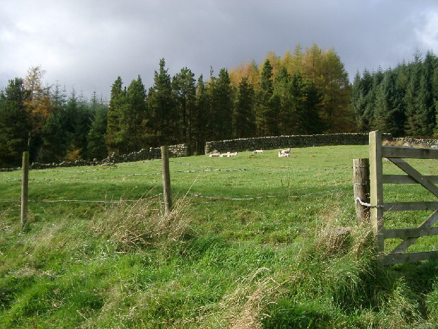
Holly Island Images
Images are sourced within 2km of 55.035127/-4.2199528 or Grid Reference NX5873. Thanks to Geograph Open Source API. All images are credited.


Holly Island is located at Grid Ref: NX5873 (Lat: 55.035127, Lng: -4.2199528)
Unitary Authority: Dumfries and Galloway
Police Authority: Dumfries and Galloway
What 3 Words
///lawns.consumed.afflicted. Near Newton Stewart, Dumfries & Galloway
Nearby Locations
Related Wikis

Clatteringshaws Loch
Clatteringshaws Loch is a freshwater reservoir in the historical county of The Stewartry of Kirkcudbright in Dumfries and Galloway, Scotland. It was created...

Water of Ken
The Water of Ken is a river in the historical county of Kirkcudbrightshire in Galloway, south-west Scotland.It rises on Blacklorg Hill, north-east of Cairnsmore...

Galloway
Galloway (Scottish Gaelic: Gall-Ghàidhealaibh [ˈkal̪ˠaɣəl̪ˠu]; Scots: Gallowa; Latin: Gallovidia) is a region in southwestern Scotland comprising the historic...

Skerrow
Skerrow was a burgh in Dumfries and Galloway, Scotland. Loch Skerrow Halt railway station, on the Portpatrick and Wigtownshire Joint Railway, served Skerrow...
Have you been to Holly Island?
Leave your review of Holly Island below (or comments, questions and feedback).