Innis Bhuidhe
Island in Perthshire
Scotland
Innis Bhuidhe
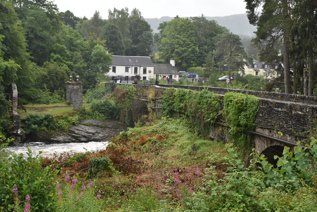
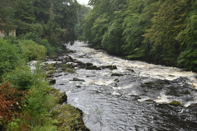
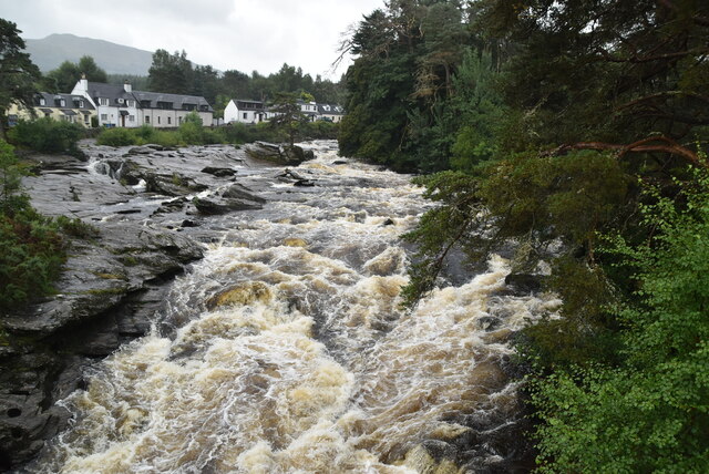
Innis Bhuidhe is a small island located in Perthshire, Scotland. Situated on Loch Awe, one of the largest freshwater lakes in Scotland, this island offers a picturesque and tranquil escape for nature enthusiasts and visitors seeking a peaceful retreat.
Covering an area of approximately 5.6 hectares, Innis Bhuidhe is characterized by its lush greenery and serene surroundings. The island is renowned for its diverse flora and fauna, making it a haven for birdwatchers and wildlife enthusiasts. Visitors can spot a variety of bird species, including ospreys, herons, and golden eagles, as well as enjoy sightings of red deer and otters.
Accessible by boat, Innis Bhuidhe provides opportunities for outdoor activities such as hiking, fishing, and boating. There are several walking trails that allow visitors to explore the island's natural beauty, taking them through woodland areas and along the shoreline. Fishing enthusiasts can try their luck at catching trout or salmon in the surrounding waters.
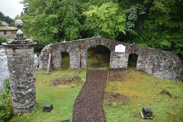
The island also boasts a rich history, with the ruins of a medieval castle dating back to the 15th century. The castle, although in a state of disrepair, offers a glimpse into the island's past and adds an air of mystery to the landscape.
Overall, Innis Bhuidhe is a hidden gem in Perthshire, offering a peaceful and idyllic setting for those seeking solace in nature. With its diverse wildlife, scenic beauty, and historical remnants, this island is a must-visit destination for nature lovers and history enthusiasts alike.
If you have any feedback on the listing, please let us know in the comments section below.
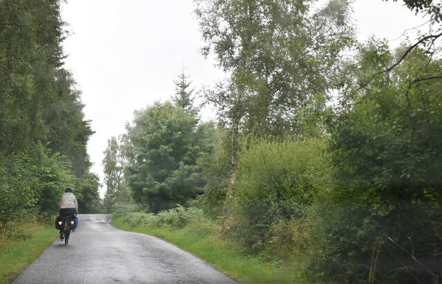
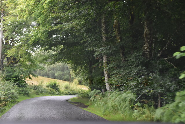
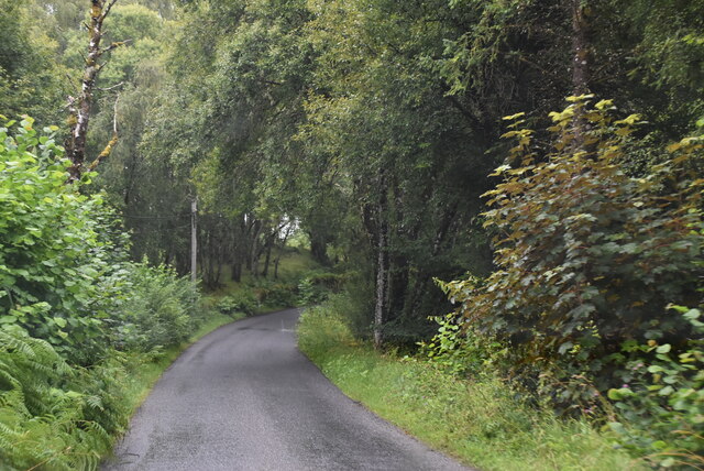
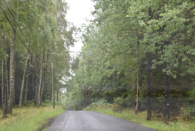
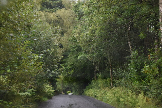
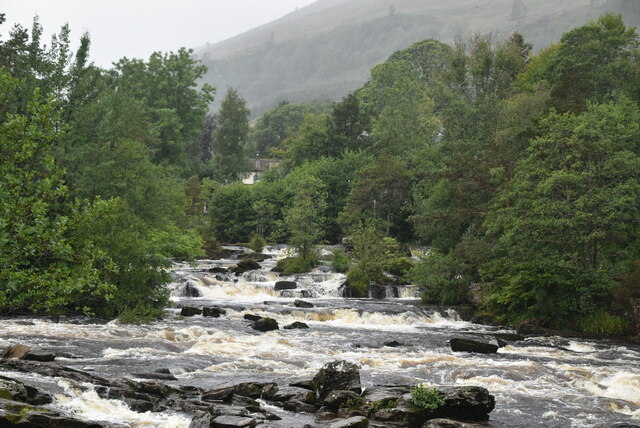
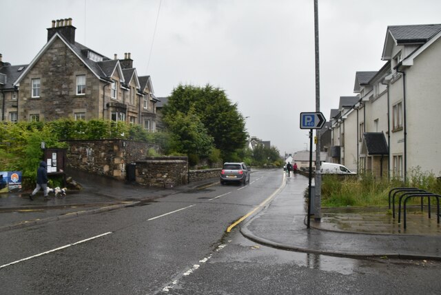
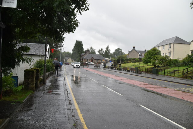
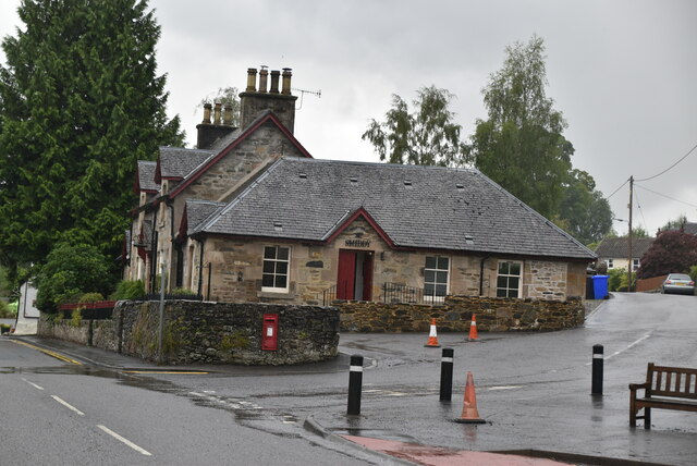
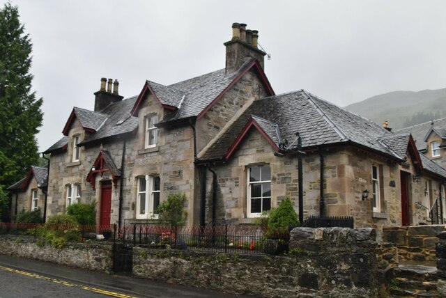
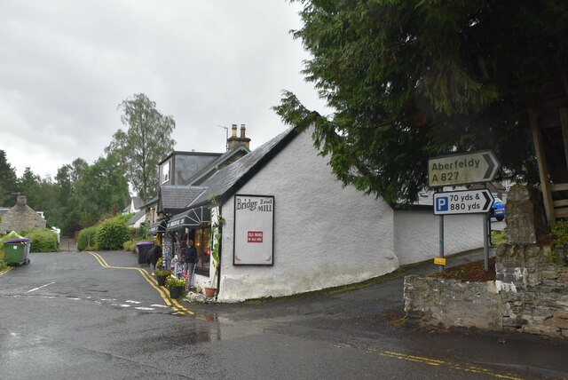
Innis Bhuidhe Images
Images are sourced within 2km of 56.463663/-4.3184154 or Grid Reference NN5732. Thanks to Geograph Open Source API. All images are credited.

Innis Bhuidhe is located at Grid Ref: NN5732 (Lat: 56.463663, Lng: -4.3184154)
Unitary Authority: Stirling
Police Authority: Forth Valley
What 3 Words
///wide.panics.collected. Near Pubil, Perth & Kinross
Nearby Locations
Related Wikis

Inchbuie
Inchbuie (Scottish Gaelic: Innis Bhuidhe, 'yellow island') is an island of the River Dochart, near Killin. A bridge links it with both riverbanks, just...

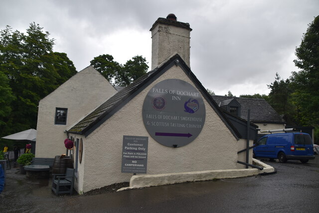
Falls of Dochart
The Falls of Dochart (Scottish Gaelic:Eas Dochart) are a cascade of waterfalls situated on the River Dochart at Killin in Perthshire, Scotland, near the...

Killin
Killin (; Scottish Gaelic: Cill Fhinn) is a village in Perthshire in the central Highlands of Scotland. Situated at the western head of Loch Tay, it is...
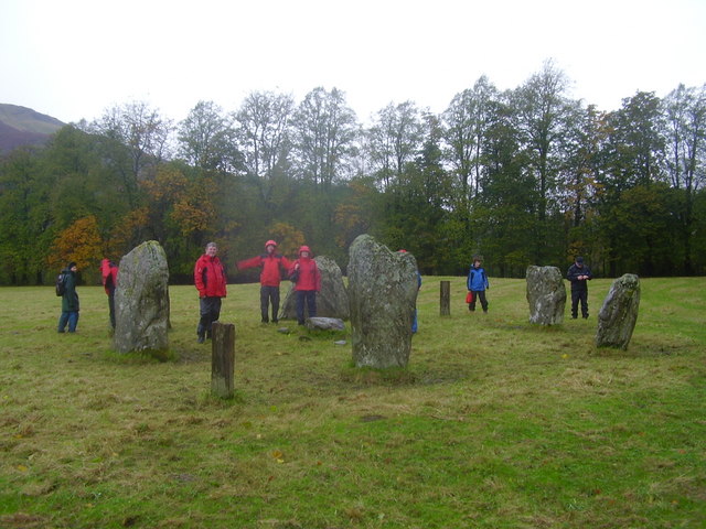
Killin Stone Circle
Killin Stone Circle (or Kinnell Stone Circle) is a prehistoric stone circle situated at the west end of Loch Tay near the village of Killin, Stirling,...

Killin railway station
Killin railway station was a railway station located at Killin, Stirling. == History == Opened on 1 April 1886, the station comprised a single platform...
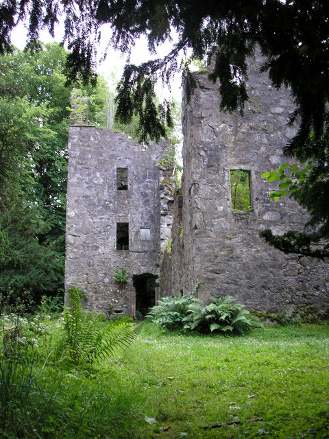
Finlarig Castle
Finlarig Castle is an early 17th-century castle standing on a mound on a peninsula between the River Lochay and Loch Tay, just over 1⁄2 mile (0.80 km)...

Rob Roy Way
The Rob Roy Way is a Scottish long distance footpath that runs from Drymen in Stirling to Pitlochry in Perth and Kinross. The path was created in 2002...
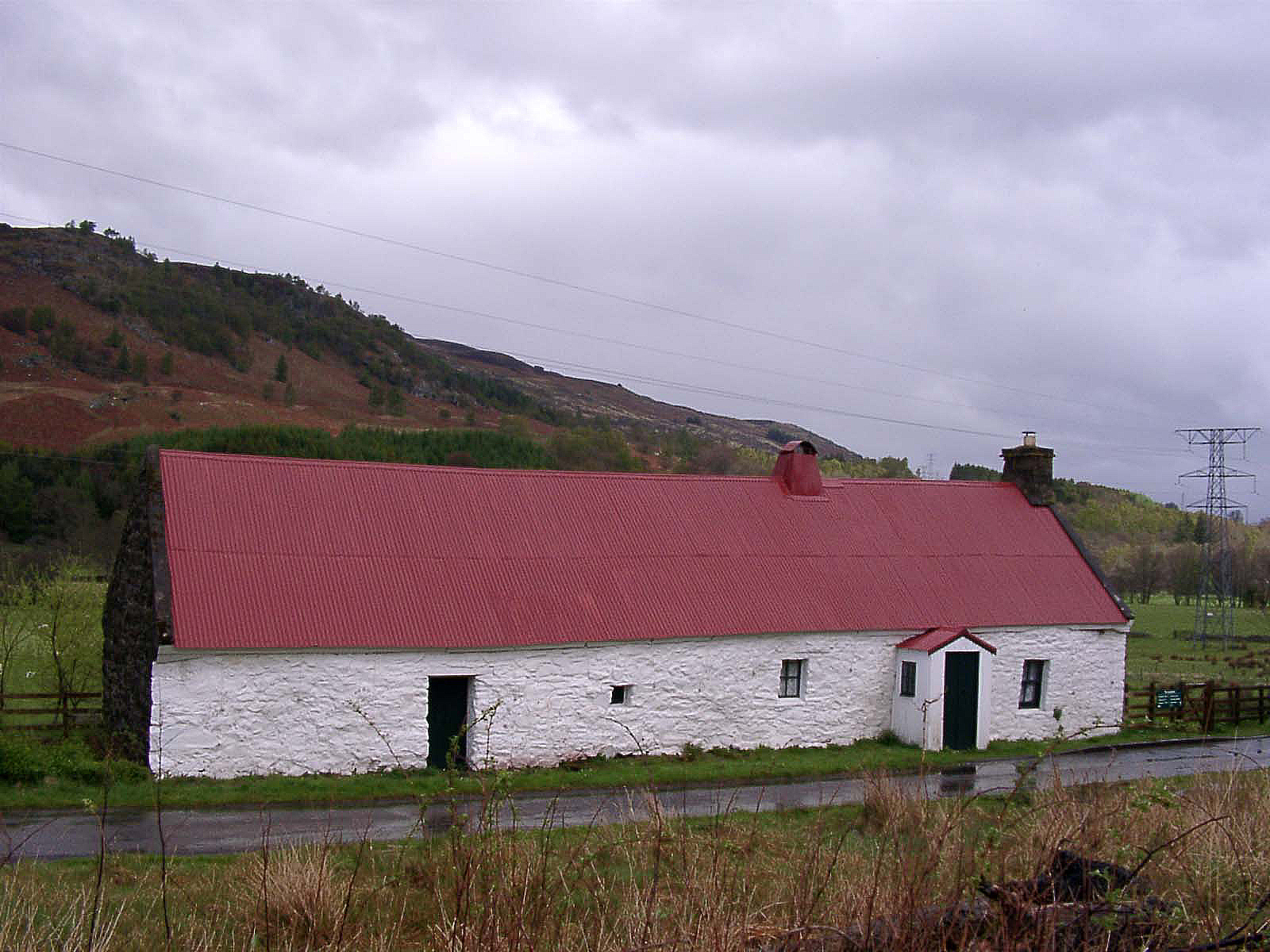
Moirlanich Longhouse
Moirlanich Longhouse is a rare example of a cruck frame Scottish cottage. It is located at grid reference NN562341 in Glen Lochay near Killin in the Stirling...
Nearby Amenities
Located within 500m of 56.463663,-4.3184154Have you been to Innis Bhuidhe?
Leave your review of Innis Bhuidhe below (or comments, questions and feedback).