Eilean Moloch

Island in Perthshire

Scotland

Eilean Moloch

Uplands
Uplands Credit: Alex McGregor

Eilean Moloch is a small island located in Perthshire, Scotland. Situated in Loch Tay, it is one of the many islands found within this scenic freshwater lake. The island covers an area of approximately 1.5 acres and is known for its picturesque beauty and rich historical significance.

The name "Eilean Moloch" translates to "Island of Moloch," which refers to an ancient deity worshipped in the region during pre-Christian times. The island has remnants of a stone circle believed to be associated with these ancient rituals, adding to its historical intrigue.

Surrounded by the stunning landscape of Loch Tay, Eilean Moloch offers breathtaking views of the surrounding mountains and the tranquil waters. The island is covered in lush greenery, with a variety of trees and shrubs creating a diverse and vibrant ecosystem.

Although Eilean Moloch is uninhabited today, it has become a popular spot for tourists and nature enthusiasts. Visitors can access the island by boat, and the calm waters of Loch Tay make it an ideal destination for kayaking, fishing, and other water-based activities.

The island's historical significance, coupled with its natural beauty, makes it a fascinating place to explore. Whether it's taking in the stunning views, learning about the ancient rituals, or simply enjoying the peaceful ambiance, Eilean Moloch offers a unique experience for those seeking to connect with Scotland's past and appreciate its natural wonders.

If you have any feedback on the listing, please let us know in the comments section below.

Eilean Moloch Images

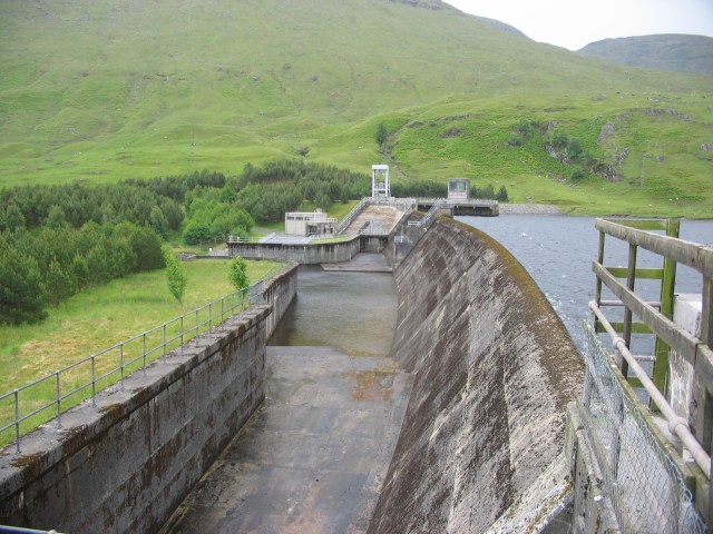
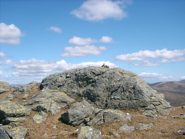
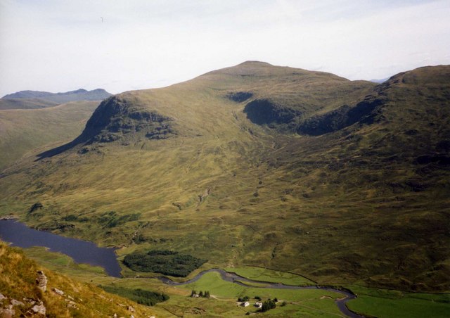
Images are sourced within 2km of 56.554275/-4.4040813 or Grid Reference NN5242. Thanks to Geograph Open Source API. All images are credited.

Stronuich Reservoir Dam
Cashlie Power Station
Looking down to Lairig Luaidhe Viewed from the W slope of Beinn nan Oighreag
Looking down to Lairig Luaidhe
Viewed from the W slope of Beinn nan Oighreag
Stronuich Reservoir The water here will end up at Lochay Power Station via 9km of pipeline.
Stronuich Reservoir
The water here will end up at Lochay Power Station via 9km of pipeline.
Stronuich Dam The channel at the bottom of the picture carries the outfall from Cashlie Power Station and will end up at Lochay Power Station.
Stronuich Dam
The channel at the bottom of the picture carries the outfall from Cashlie Power Station and will end up at Lochay Power Station.
River Lyon Under Creag Tulabhan, one of the northern spurs of Meall Ghaordaidh.
River Lyon
Under Creag Tulabhan, one of the northern spurs of Meall Ghaordaidh.
River Lyon Downstream view towards Beinn nan Oighreag.
River Lyon
Downstream view towards Beinn nan Oighreag.
Ath an t-Sluaigh Ruins beside the River Lyon with Beinn nan Oighreag on the opposite side of the glen.
Ath an t-Sluaigh
Ruins beside the River Lyon with Beinn nan Oighreag on the opposite side of the glen.
Ath an t-Sluaigh Ruined dykes where the Allt Lairig Luaidhe meets the Lyon.
Ath an t-Sluaigh
Ruined dykes where the Allt Lairig Luaidhe meets the Lyon.
Young woodland, Glen Lyon Fences protect young trees from the deer.
Young woodland, Glen Lyon
Fences protect young trees from the deer.
Road up Glen Lyon Looking upstream towards Creag an Tulabhain.
Road up Glen Lyon
Looking upstream towards Creag an Tulabhain.
Glen Lyon at Kenknock View up the glen to the impressive truncated spur of Creag an Tulabhan.
Glen Lyon at Kenknock
View up the glen to the impressive truncated spur of Creag an Tulabhan.
Haughs, Glen Lyon Flat and wet riverside pasture.
Haughs, Glen Lyon
Flat and wet riverside pasture.
Glen Lyon A view towards Meall Ghaordaidh.
Glen Lyon
A view towards Meall Ghaordaidh.
"After you" on this bridge... This is one of a number of bridges marked across this burn, but consists of just three rather rotten-looking pine trunks, and a couple or three planks. I think I'll wade, if it's all the same to you.
"After you" on this bridge...
This is one of a number of bridges marked across this burn, but consists of just three rather rotten-looking pine trunks, and a couple or three planks. I think I'll wade, if it's all the same to you.
Down the lower slopes of Sròn Chona Choirein Looking down towards the Allt Ruighe Ghiubhas
Down the lower slopes of Sròn Chona Choirein
Looking down towards the Allt Ruighe Ghiubhas
Grassland high on the hillside Extensive open slopes of rough grass, which lead down through a wide corrie into Glen Lyon.
Grassland high on the hillside
Extensive open slopes of rough grass, which lead down through a wide corrie into Glen Lyon.
Show me another place!

Eilean Moloch is located at Grid Ref: NN5242 (Lat: 56.554275, Lng: -4.4040813)

Unitary Authority: Perth and Kinross

Police Authority: Tayside

What 3 Words

///cutback.adjusting.include. Near Pubil, Perth & Kinross

Nearby Locations

Eilean Moloch

Related Wikis

Beinn nan Oighreag

Beinn nan Oighreag (910 m) is a mountain in the Grampian Mountains of Scotland. It lies between Glen Lyon and Glen Lochay, on the border of Perthshire...

Meall Ghaordaidh

Meall Ghaordaidh is a mountain in the Southern Highlands of Scotland, approximately 10 km north-west of Killin. The mountain can be ascended via Glen Lochay...

Meggernie Castle

Meggernie Castle is a castle in the heart of Perth and Kinross, in central Scotland. It is located halfway up Glenlyon, where the river Lyon flows through...

Stuchd an Lochain

Stuchd an Lochain (Scottish Gaelic: Stùc an Lochain, 'peak of the little lake') is a mountain in the Breadalbane region of the southern Scottish Highlands...

Nearby Amenities

Located within 500m of 56.554275,-4.4040813
Power: pole
Lat/Long: 56.5576999/-4.4023231
Power: pole
Lat/Long: 56.5571929/-4.4029319
Power: pole
Lat/Long: 56.5566193/-4.40364
Power: pole
Lat/Long: 56.5560177/-4.4043669
Power: pole
Lat/Long: 56.555453/-4.4050482
Power: pole
Lat/Long: 56.554266/-4.4071484
Power: pole
Lat/Long: 56.5537752/-4.4080308
Power: pole
Lat/Long: 56.5531883/-4.4090661
Power: pole
Lat/Long: 56.5527758/-4.409785
Power: pole
Lat/Long: 56.5523752/-4.4104958
The data included in this document is from www.openstreetmap.org. The data is made available under ODbL.

Have you been to Eilean Moloch?

Leave your review of Eilean Moloch below (or comments, questions and feedback).