Allen's Rock
Island in Devon North Devon
England
Allen's Rock

Allen's Rock is a small island located off the coast of Devon, England. It is situated in the Bristol Channel, approximately 4 miles south of the town of Ilfracombe. The island is part of the North Devon Area of Outstanding Natural Beauty and is a popular destination for nature enthusiasts and wildlife lovers.
Covering an area of around 10 acres, Allen's Rock is predominantly made up of rugged cliffs and rocky outcrops. The island is uninhabited and is accessible only by boat. It is named after Captain Allen, a local sailor who discovered the rock in the 19th century.
The island is home to a diverse range of bird species, making it a haven for birdwatchers. Puffins, guillemots, and razorbills can be spotted nesting on the cliffs during the breeding season. Seals are also a common sight around the island, often seen basking on the rocks.
The waters surrounding Allen's Rock are teeming with marine life, making it a popular spot for snorkeling and diving. The clear waters offer excellent visibility and divers can explore the underwater caves and reefs, which are home to a variety of colorful fish and other marine creatures.
Visitors to Allen's Rock can enjoy stunning coastal views and peaceful walks along the shoreline. However, it is important to note that there are no facilities or amenities on the island, so visitors should come prepared with food, water, and appropriate clothing.
If you have any feedback on the listing, please let us know in the comments section below.
Allen's Rock Images
Images are sourced within 2km of 51.080001/-4.1387411 or Grid Reference SS5033. Thanks to Geograph Open Source API. All images are credited.


Allen's Rock is located at Grid Ref: SS5033 (Lat: 51.080001, Lng: -4.1387411)
Administrative County: Devon
District: North Devon
Police Authority: Devon and Cornwall
What 3 Words
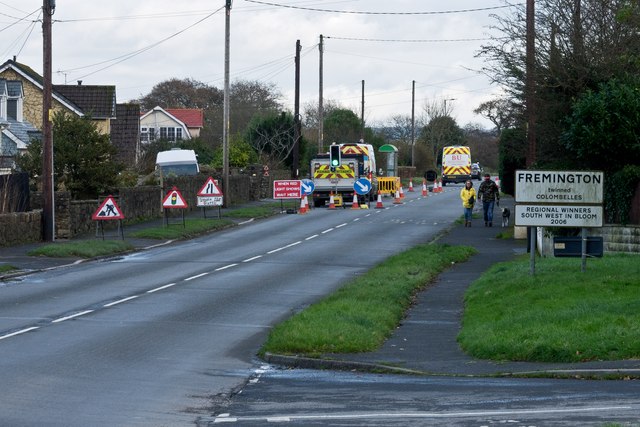
///juggler.unfilled.centuries. Near Fremington, Devon
Nearby Locations
Related Wikis
Fremington Army Camp
Fremington Army Camp was a military camp in the village of Fremington, Devon, England, which was used as a base to train the United States Army Air Corps. It was originally located there to be within easy marching distance from the railway station at the Quay. == History == The site was used by the US Army's 313th Station Hospital for post-D-Day rehabilitation, with room for 2,000 patients and started receiving casualties on 20 July 1944, during the Second World War.

RAF Chivenor
Royal Air Force Chivenor, or more simply RAF Chivenor, (ICAO: EGDC) was a Royal Air Force station located on the northern shore of the River Taw estuary, on the north coast of Devon, England. The nearest towns are Barnstaple and Braunton. Originally a civil airfield opened in the 1930s, the site was taken over by the Royal Air Force (RAF) in May 1940 for use as a RAF Coastal Command Station.

RM Chivenor
Royal Marines Barracks Chivenor is a British military base used primarily by 3 Commando Brigade. It is situated on the northern shore of the River Taw estuary, adjacent to the South West Coast Path, on the north coast of Devon, England. The nearest towns are Barnstaple and Braunton.
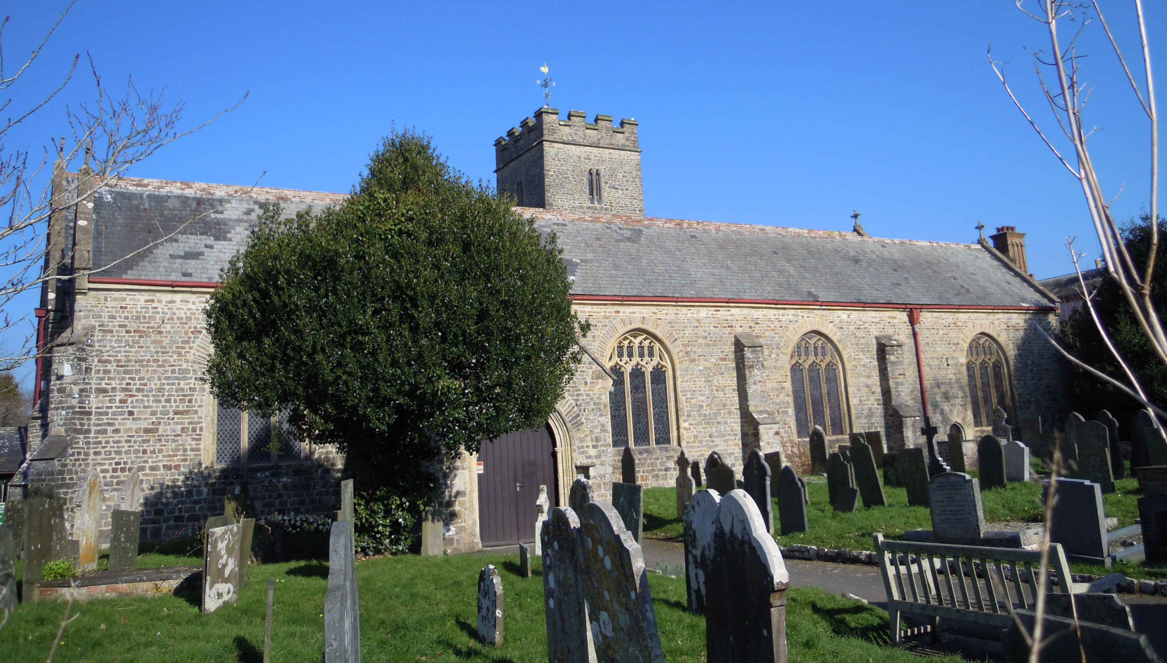
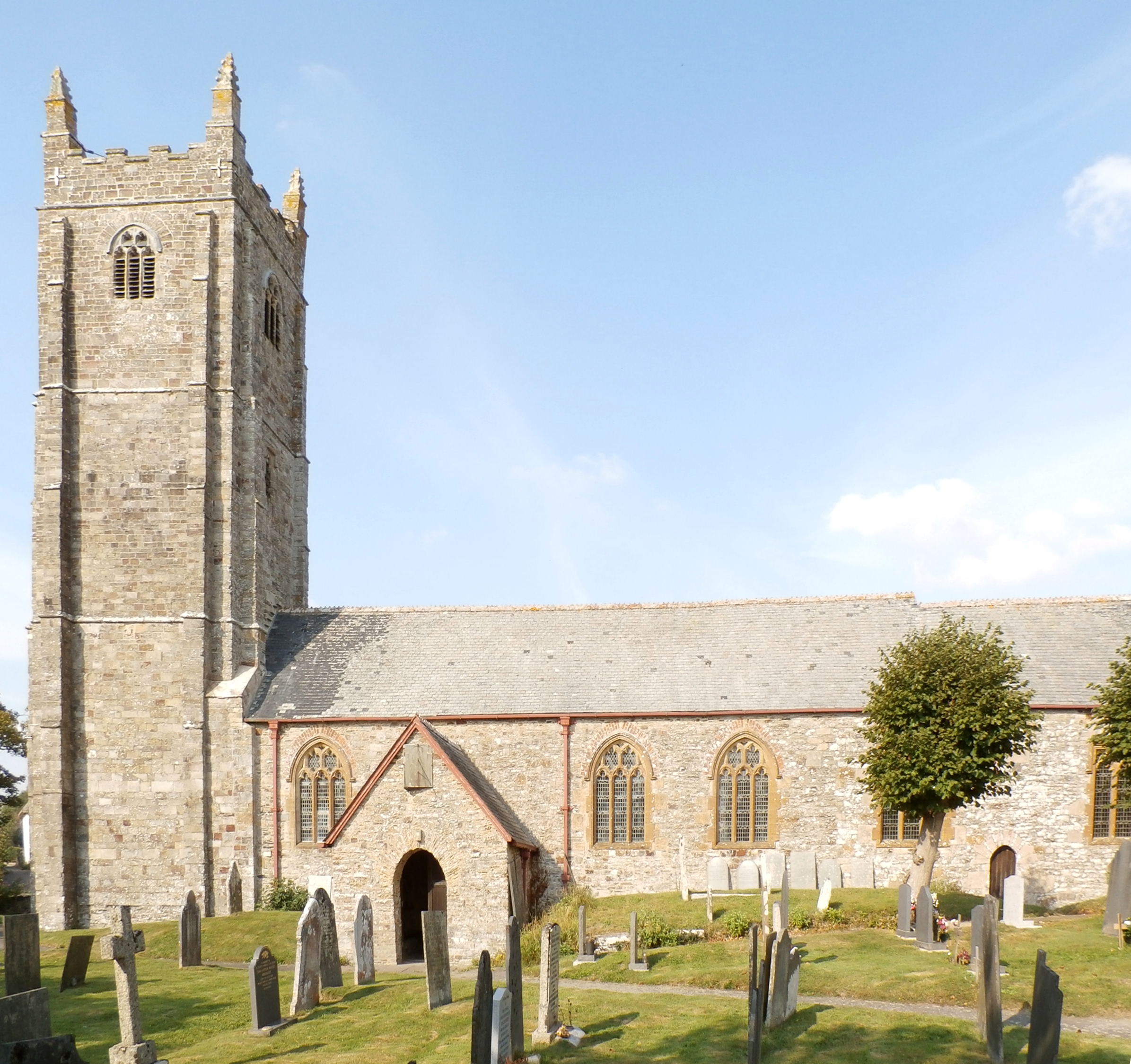
Church of St Peter, Fremington
The Church of St Peter is the Anglican parish church for Fremington, now a suburb of nearby Barnstaple but at one time a separate village. There has been a church on the site since at least 1268 with the present structure mostly dating to the 13th and 15th-centuries. The church comes under the Diocese of Exeter and has been a Grade II* listed building since 1965.

Fremington railway station
Fremington railway station served the village of Fremington, Devon, England, from 1855 to 1965 on the Bideford Extension Railway. Located at Fremington Quay, about a mile from the centre of the village. == History == The station was opened on 2 November 1855 by the London and South Western Railway.

Yelland
Yelland is a village of 2,000 inhabitants situated in North Devon between Instow and Fremington in the English county of Devon. Yelland is included within the parish of Fremington. == Amenities == There is a garage, and a small industrial park.
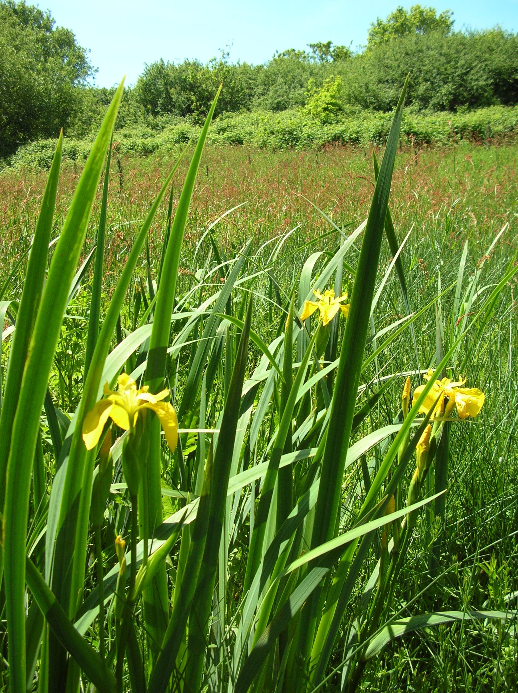
Fremington Local Nature Reserve
Fremington Local Nature Reserve is a Local Nature Reserve situated between Bideford and Barnstaple in North Devon. The Local Nature Reserve was designated in 2006. The reserve comprises two separate areas: Lovell's Field and Leat Meadow.
Heanton Punchardon
Heanton Punchardon ( ) is a village, civil parish and former manor, anciently part of Braunton Hundred. It is situated directly east-southeast of the village of Braunton, in North Devon. The parish lies on the north bank of the estuary of the River Taw and it is surrounded, clockwise from the north, by the parishes of Braunton, Marwood, Ashford and across the estuary, Fremington.
Nearby Amenities
Located within 500m of 51.080001,-4.1387411Have you been to Allen's Rock?
Leave your review of Allen's Rock below (or comments, questions and feedback).