Colin's Isle
Island in Renfrewshire
Scotland
Colin's Isle

Colin's Isle is a small island located in the River Clyde, Renfrewshire, Scotland. This picturesque island is situated approximately 1.5 miles west of the town of Renfrew and is easily accessible by boat. The island covers an area of about 8 acres and is predominantly covered in lush greenery, making it an idyllic spot for nature lovers.
The history of Colin's Isle dates back to ancient times, with evidence suggesting that it has been inhabited since at least the Iron Age. It is believed that the island was used as a defensive site due to its strategic location along the river. Today, remnants of ancient fortifications can still be seen, adding to the island's historical charm.
The island's landscape is characterized by rolling hills, rocky outcrops, and dense woodland. It is home to a diverse range of plant and animal species, including wildflowers, birds, and small mammals. This makes it a popular destination for birdwatching and nature enthusiasts.
Visitors to Colin's Isle can enjoy leisurely walks along its well-maintained trails, taking in the breathtaking views of the surrounding river and countryside. The island also offers picnic areas and benches, providing a tranquil setting for relaxation and enjoyment of the natural surroundings.
Overall, Colin's Isle is a hidden gem in Renfrewshire, offering a serene escape from the hustle and bustle of everyday life. With its rich history, stunning landscapes, and abundant wildlife, it is a must-visit destination for anyone seeking a peaceful retreat in nature.
If you have any feedback on the listing, please let us know in the comments section below.
Colin's Isle Images
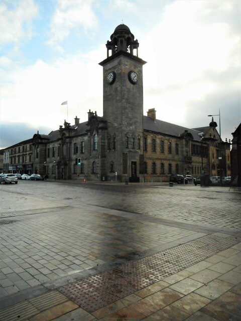
Images are sourced within 2km of 55.887398/-4.4075575 or Grid Reference NS4968. Thanks to Geograph Open Source API. All images are credited.


Colin's Isle is located at Grid Ref: NS4968 (Lat: 55.887398, Lng: -4.4075575)
Unitary Authority: Renfrewshire
Police Authority: Renfrewshire and Inverclyde
What 3 Words
///latest.dive.rungs. Near Clydebank, West Dunbartonshire
Nearby Locations
Related Wikis
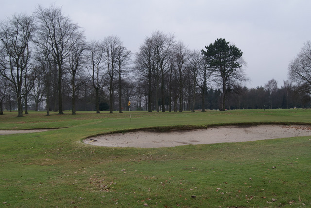
Renfrew Golf Club
Renfrew Golf Club is based in Renfrew, Scotland. It is situated in the Blythswood Estate, near to the River Cart and the River Clyde. == History == The...
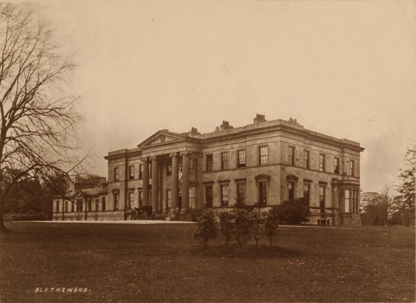
Blythswood House
Blythswood House was a 100-room neoclassical mansion at Renfrew, Scotland, built for the Douglas-Campbell family from the considerable incomes arising...

River Cart
The River Cart is a tributary of the River Clyde, Scotland, which it joins from the west roughly midway between the towns of Erskine and Renfrew and opposite...

Normandy Hotel
The Normandy Hotel is in Renfrew, Scotland. It is on the A8 road, near Glasgow Airport. Construction of the hotel was completed in 1973. == History... ==
Nearby Amenities
Located within 500m of 55.887398,-4.4075575Have you been to Colin's Isle?
Leave your review of Colin's Isle below (or comments, questions and feedback).