North Rock

Island in Cornwall

England

North Rock

St Germanus' Church, Rame The Grade I listed church  dates to the 13th and 15th centuries. St. Germanus, a bishop of Auxerre in Late Antique Gaul is supposed to have landed in the neighbourhood when he came to Britain to suppress the Pelagian heresy in about 429. The church underwent restoration in 1848and again in 1883–1885, the latter  at the sole expense of Kenelm William Edward Edgcumbe, the 6th Earl of Mount Edgcumbe.
St Germanus' Church, Rame Credit: Richard Rogerson

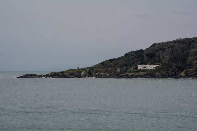
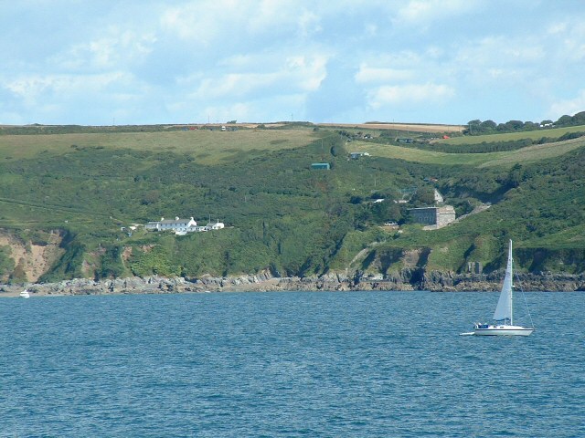
North Rock is a small uninhabited island located off the coast of Cornwall, England. Situated approximately 1.5 miles northwest of Trevose Head, it is part of the Padstow Bay and lies within the Cornwall Area of Outstanding Natural Beauty. The island is composed of rugged cliffs, measuring roughly 15 meters in height, and covers an area of approximately 0.2 hectares.

Due to its isolated location, North Rock is a sanctuary for a variety of seabird species, making it an important nesting site. Birds such as kittiwakes, razorbills, and guillemots can be observed on the cliffs during breeding seasons. In addition to its avian population, the surrounding waters are home to a diverse range of marine life, including seals and dolphins.

The island's inaccessibility and hazardous conditions make it difficult for visitors to explore on foot. The rocky terrain, combined with unpredictable tides and strong currents, pose significant risks. As a result, North Rock is primarily admired from a distance, often viewed from Trevose Head or during boat trips along the coast.

North Rock holds historical significance as well. In the 19th century, it served as a navigational aid for ships entering Padstow Bay. A lighthouse was built on the island in 1867, which operated until 1984 when it was automated. The lighthouse still stands as a prominent feature, contributing to the island's unique charm and character. Today, North Rock remains an untouched and protected natural gem, attracting nature enthusiasts and birdwatchers who appreciate its unspoiled beauty.

If you have any feedback on the listing, please let us know in the comments section below.
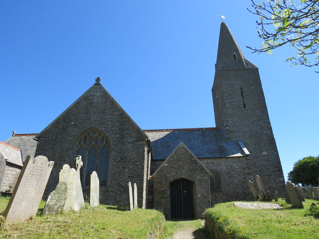
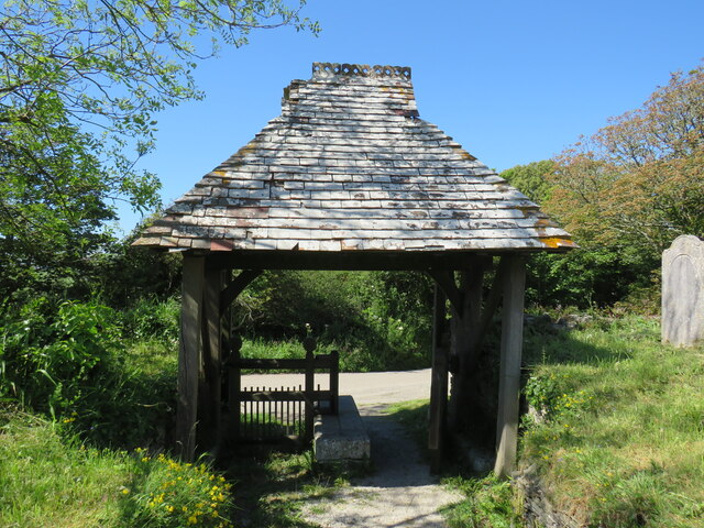
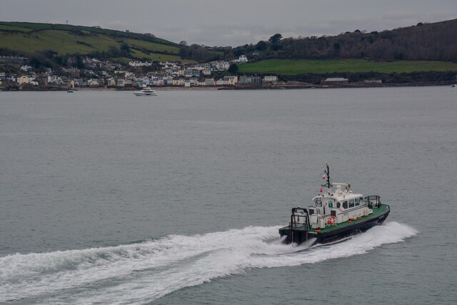
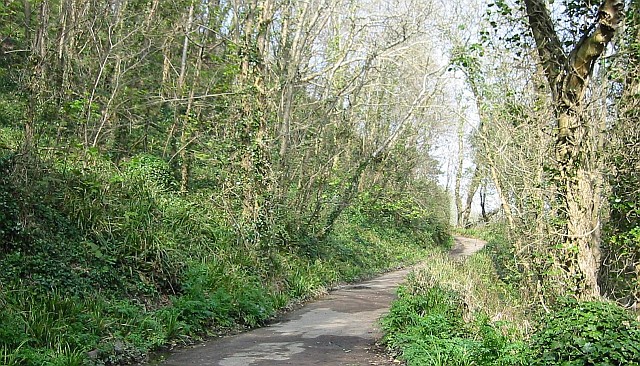
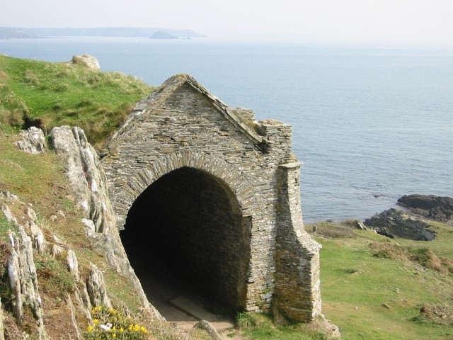
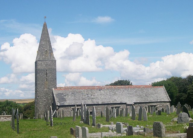
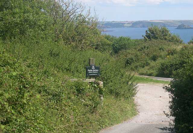
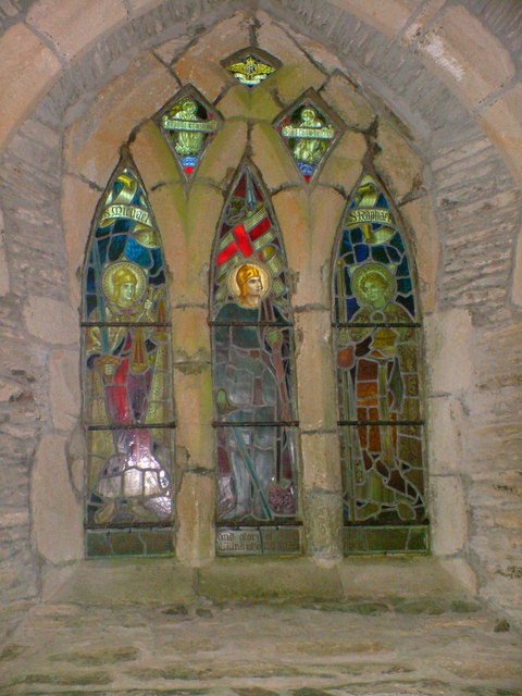
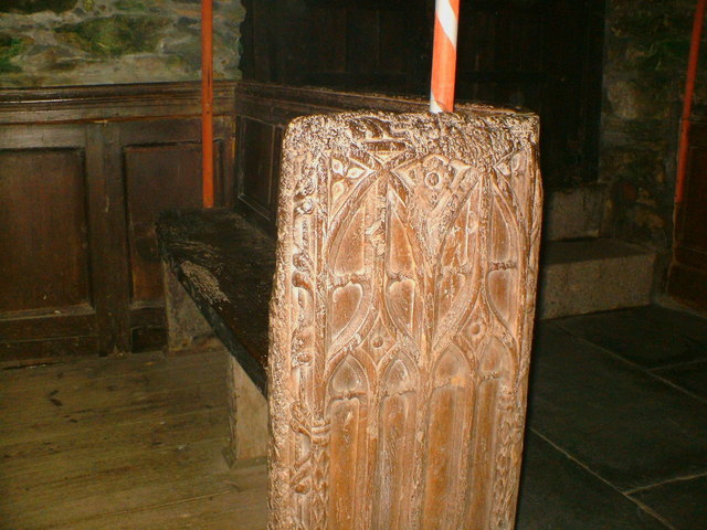
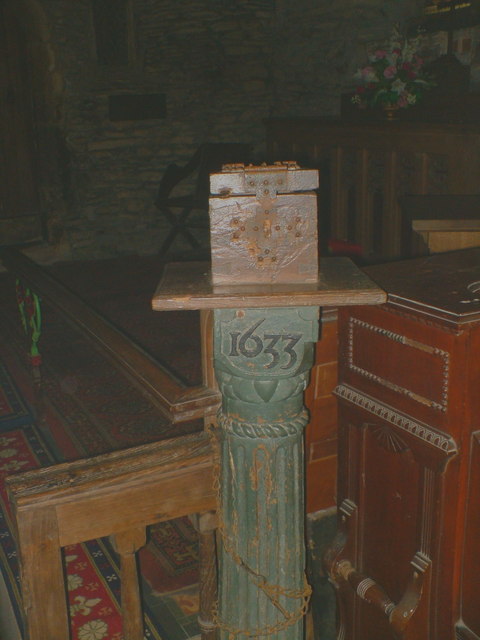
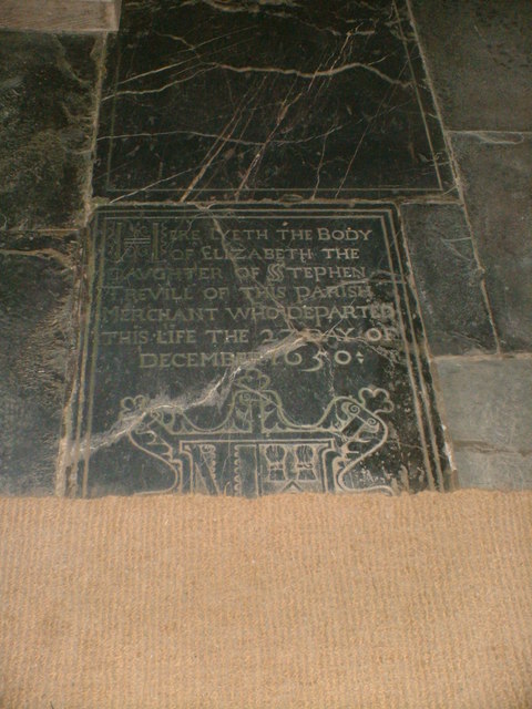
North Rock Images

Images are sourced within 2km of 50.334546/-4.1986078 or Grid Reference SX4350. Thanks to Geograph Open Source API. All images are credited.

St Germanus' Church, Rame The Grade I listed church  dates to the 13th and 15th centuries. St. Germanus, a bishop of Auxerre in Late Antique Gaul is supposed to have landed in the neighbourhood when he came to Britain to suppress the Pelagian heresy in about 429. The church underwent restoration in 1848and again in 1883–1885, the latter  at the sole expense of Kenelm William Edward Edgcumbe, the 6th Earl of Mount Edgcumbe.
St Germanus' Church, Rame
The Grade I listed church dates to the 13th and 15th centuries. St. Germanus, a bishop of Auxerre in Late Antique Gaul is supposed to have landed in the neighbourhood when he came to Britain to suppress the Pelagian heresy in about 429. The church underwent restoration in 1848and again in 1883–1885, the latter at the sole expense of Kenelm William Edward Edgcumbe, the 6th Earl of Mount Edgcumbe.
Lych Gate, St Germanus' Church, Rame As with many old lych gates, there is a bier or lych stone to rest the coffin on until the clergyman's arrival.
Lych Gate, St Germanus' Church, Rame
As with many old lych gates, there is a bier or lych stone to rest the coffin on until the clergyman's arrival.
Maker-With-Rame : Penlee Point The point lies at the entrance to Plymouth Sound.
Maker-With-Rame : Penlee Point
The point lies at the entrance to Plymouth Sound.
Maker-With-Rame : Coastal Scenery Looking across the coast at the entrance to Plymouth South, with Kingsand in the background.
Maker-With-Rame : Coastal Scenery
Looking across the coast at the entrance to Plymouth South, with Kingsand in the background.
Penlee Woods
Penlee Woods
Penlee Chapel This "seafarers chapel" at Penlee Point is actually a 19th Century folly.
Penlee Chapel
This "seafarers chapel" at Penlee Point is actually a 19th Century folly.
Rame Church The church is situated between the tiny village of Rame and the headland of the Rame Peninsula.  I understand that the church has no mains power and is lit by candlelight for services.
Rame Church
The church is situated between the tiny village of Rame and the headland of the Rame Peninsula. I understand that the church has no mains power and is lit by candlelight for services.
Penlee Battery Nature Reserve At the end of one of the military roads built on the Rame Peninsula are the remains of Penlee Battery, now a nature reserve.  The Battery was built in the late 1800's and was used up until the end of World War Two.  The overgrown and derelict buildings now make an ideal home for many types of wildlife.
Penlee Battery Nature Reserve
At the end of one of the military roads built on the Rame Peninsula are the remains of Penlee Battery, now a nature reserve. The Battery was built in the late 1800's and was used up until the end of World War Two. The overgrown and derelict buildings now make an ideal home for many types of wildlife.
Rame, near Plymouth Rame, from the sea off the western side of the Rame peninsula.
Rame, near Plymouth
Rame, from the sea off the western side of the Rame peninsula.
Rame Church This church has an unusual 'broached spire'. It was consecrated in 1259 and is dedicated to Saint Germanus.
Rame Church
This church has an unusual 'broached spire'. It was consecrated in 1259 and is dedicated to Saint Germanus.
Fields above Penlee Part of an old military road can be seen on the right of the photograph.
Fields above Penlee
Part of an old military road can be seen on the right of the photograph.
St Germanus, Rame The front of St Germanus, parts of this candlit church date from 1259.
St Germanus, Rame
The front of St Germanus, parts of this candlit church date from 1259.
Altar Window The stained glass window above the altar at St Germanus, the church is damp due to no electric heating.
Altar Window
The stained glass window above the altar at St Germanus, the church is damp due to no electric heating.
Stained Glass Window The side window at St Germanus.
Stained Glass Window
The side window at St Germanus.
16th.century pew One of the oldest parts of the church.
16th.century pew
One of the oldest parts of the church.
Collection box Collection box inside St Germanus.
Collection box
Collection box inside St Germanus.
Stone floor The headstones in the aisle at St Germanus.
Stone floor
The headstones in the aisle at St Germanus.
Great Britain!!!!!!!! I like this one of a Union Jack - perhaps an identifying flag from a small vessel - now in tatters stranded helplessly on a jagged rock, its former glory drained away with no one left to salute it - which perhaps represents the state of the UK at the moment?.
Great Britain!!!!!!!!
I like this one of a Union Jack - perhaps an identifying flag from a small vessel - now in tatters stranded helplessly on a jagged rock, its former glory drained away with no one left to salute it - which perhaps represents the state of the UK at the moment?.
Show me another place!

North Rock is located at Grid Ref: SX4350 (Lat: 50.334546, Lng: -4.1986078)

Unitary Authority: Cornwall

Police Authority: Devon and Cornwall

What 3 Words

///bars.monday.hurry. Near Millbrook, Cornwall

Related Wikis

Maker-with-Rame

Maker-with-Rame (Cornish: Magor a-berth Hordh) is a civil parish in Cornwall, England, United Kingdom. It is situated on the Rame Peninsula, approximately...

Kingsand

Kingsand (Cornish: Porthruw) and Cawsand are twin villages in southeast Cornwall, United Kingdom. The villages are situated on the Rame Peninsula and are...

St Paul's Church, Kingsand

St Paul's Church is a former Church of England church in Kingsand, Cornwall, England, UK. Built in 1881–82, the church ceased use as a place of worship...

Cawsand

Cawsand (Cornish: Porthbugh; lit. Cow Cove) and Kingsand (Cornish: Porthruw) are twin villages in southeast Cornwall, England, United Kingdom. The village...

Related Videos

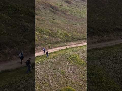
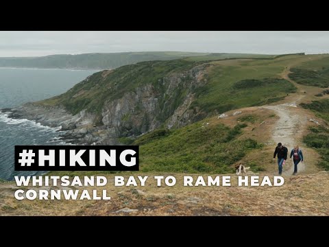
Hiking from Whitsand Bay to Rame Head #hikingadventures #cornwall #hiking

Hiking along the Southwest Costal path from Whitsand Bay to Rame Head in Cornwall Watch the full video here: ...

Hiking the Southwest Costal Path from Whitsand Bay to Rame Head in Cornwall

My latest vlog, where we spent a few days at the Whitsand Bay Holiday Park in Cornwall, and we hiked along the South West ...

Dog Walking | Cornish Beaches | Sea swimming

Join my friends and I for a Dog walking trip to the beach, we went for a swim, explored some rock pools and the nature reserve.

Nearby Amenities

Located within 500m of 50.334546,-4.1986078
Source: PGS
Lat/Long: 50.3303742/-4.2011676
Source: PGS
Lat/Long: 50.3310986/-4.2014068
Source: PGS
Lat/Long: 50.3316252/-4.2004652
Source: PGS
Lat/Long: 50.3317727/-4.2003396
Source: PGS
Lat/Long: 50.3318951/-4.2003121
Source: PGS
Lat/Long: 50.3359078/-4.1960642
Cawsand
Is In: Cornwall, England, UK
Name Kw: Porthbugh
Place: village
Wikidata: Q5055234
Lat/Long: 50.3323268/-4.2027534
Kingsand
Is In: Cornwall, England, UK
Name Kw: Porthruw
Place: village
Wikidata: Q6413119
Wikipedia: en:Kingsand
Lat/Long: 50.3342449/-4.2006531
Bus Stop
Cawsands Surgery
Bus: yes
Departures Board: realtime
Mapillary: 452708700129062
Naptan AtcoCode: 0800COB20079
Naptan Bearing: NE
Naptan CommonName: Cawsands Surgery
Naptan NaptanCode: corgagwp
Naptan Street: New Road
Naptan Verified: no
Public Transport: platform
Shelter: yes
Source: naptan_import
Survey Date: 2022-08-29
Lat/Long: 50.3356276/-4.2032699
Bus Stop
New Road
Bus: yes
Naptan AtcoCode: 0800COX38470
Naptan Bearing: SE
Naptan CommonName: New Road
Naptan Crossing: Garrett Street
Naptan NaptanCode: corgajda
Naptan Street: St Andrew's Street
Naptan Verified: no
Public Transport: platform
Source: naptan_import
Lat/Long: 50.3325976/-4.2022585
Bus Stop
Cawsands Surgery
Bus: yes
Naptan AtcoCode: 0800COZ06197
Naptan Bearing: SW
Naptan CommonName: Cawsands Surgery
Naptan Indicator: Opp
Naptan NaptanCode: corgagwt
Naptan Street: New Road
Naptan Verified: no
Public Transport: platform
Shelter: no
Source: naptan_import
Lat/Long: 50.3355568/-4.2032104
Spar
Addr City: Kingsand
Addr Housenumber: 55
Addr Postcode: PL10 1NA
Addr Street: Fore Street
Brand: Premier
Brand Wikidata: Q7240340
Operator: Premier
Shop: convenience
Lat/Long: 50.3343379/-4.2017531
Source: PGS
Lat/Long: 50.3360296/-4.1959854
Barrier: kissing_gate
Lat/Long: 50.3326275/-4.2038524
Fast Food
Old Boatstore
Addr City: Torpoint
Addr Country: GB
Addr Hamlet: Kingsand
Addr Postcode: PL10 1NF
Addr Street: The Cleave
Fhrs Id: 1069497
Source Addr: FHRS Open Data
Lat/Long: 50.333865/-4.2006293
Toilets
Check Date: 2021-10-23
Fee: no
Wheelchair: yes
Lat/Long: 50.3334753/-4.2006153
Information: guidepost
Tourism: information
Lat/Long: 50.33472/-4.2007298
Post Box
Brand: Royal Mail
Brand Wikidata: Q638098
Brand Wikipedia: en:Royal Mail
Collection Times: Mo-Fr 09:00; Sa 07:00
Operator: Royal Mail
Operator Wikidata: Q638098
Post Box Mounting: building
Post Box Type: wall
Ref: PL10 580
Royal Cypher: VR
Royal Cypher Wikidata: Q33102356
Source: survey;streetlevel imagery;aerial imagery
Survey Date: 2024-05-12
Lat/Long: 50.331203/-4.20179
Defibrillator
Defibrillator Location: On outside wall of Halfway House Inn, near entrance to car park
Emergency: defibrillator
Indoor: no
Lat/Long: 50.3333983/-4.201529
Periwinkle
Shop: gift
Lat/Long: 50.3337392/-4.2017719
Defibrillator
Defibrillator Location: On outside wall of Rame Gig Club, opposite The Shop In The Square
Emergency: defibrillator
Indoor: no
Lat/Long: 50.3309673/-4.2020939
Cafe
The Old Bakery
Addr City: Torpoint
Addr Country: GB
Addr Hamlet: Cawsand
Addr Postcode: PL10 1PD
Addr Street: Garrett Street
Contact Email: info@theoldbakery-cawsand.co.uk
Contact Phone: +44 1752 656215
Contact Website: http://www.theoldbakery-cawsand.co.uk/
Fhrs Id: 691891
Source Addr: FHRS Open Data
Takeaway: yes
Lat/Long: 50.3327596/-4.2016131
Panache
Shop: art
Lat/Long: 50.3333863/-4.2014086
Toilets
Changing Table: yes
Fee: no
Wheelchair: yes
Lat/Long: 50.3309244/-4.2018473
Shipshape
Shop: gift
Lat/Long: 50.3333263/-4.2013898
Post Box
Brand: Royal Mail
Brand Wikidata: Q638098
Brand Wikipedia: en:Royal Mail
Collection Times: Mo-Fr 09:00; Sa 07:00
Operator: Royal Mail
Operator Wikidata: Q638098
Post Box Design: type_b
Post Box Type: pillar
Ref: PL10 704
Royal Cypher: EIIR
Royal Cypher Wikidata: Q33102113
Source: survey;streetlevel imagery;aerial imagery
Survey Date: 2024-05-12
Lat/Long: 50.3334117/-4.2014616
Historic: monument
Lat/Long: 50.3317606/-4.2014633
Bench
Backrest: yes
Mapillary: 486827652616539
Source Position: Mapillary 2021-06-26
Survey Date: 2021-06-26
Lat/Long: 50.3333034/-4.2008984
Bench
Backrest: no
Lat/Long: 50.3379925/-4.1950183
Bench
Backrest: yes
Lat/Long: 50.3361264/-4.1980937
Bench
Backrest: yes
Lat/Long: 50.3355999/-4.1988805
Bench
Backrest: yes
Lat/Long: 50.3351357/-4.1995186
Generator Method: photovoltaic
Generator Output Electricity: yes
Generator Source: solar
Generator Type: solar_photovoltaic_panel
Location: roof
Power: generator
Lat/Long: 50.3321551/-4.2035943
Generator Method: photovoltaic
Generator Output Electricity: yes
Generator Source: solar
Generator Type: solar_photovoltaic_panel
Location: roof
Power: generator
Lat/Long: 50.332138/-4.2034668
Generator Method: photovoltaic
Generator Output Electricity: yes
Generator Source: solar
Generator Type: solar_photovoltaic_panel
Location: roof
Power: generator
Lat/Long: 50.3320789/-4.203904
Generator Method: photovoltaic
Generator Output Electricity: yes
Generator Source: solar
Generator Type: solar_photovoltaic_panel
Location: roof
Power: generator
Lat/Long: 50.3320832/-4.2039778
Generator Method: photovoltaic
Generator Output Electricity: yes
Generator Source: solar
Generator Type: solar_photovoltaic_panel
Location: roof
Power: generator
Lat/Long: 50.3333814/-4.2018092
Generator Method: photovoltaic
Generator Output Electricity: yes
Generator Source: solar
Generator Type: solar_photovoltaic_panel
Location: roof
Power: generator
Lat/Long: 50.3357128/-4.2033153
Generator Method: photovoltaic
Generator Output Electricity: yes
Generator Source: solar
Generator Type: solar_photovoltaic_panel
Location: roof
Power: generator
Lat/Long: 50.3361592/-4.2040945
Generator Method: photovoltaic
Generator Output Electricity: yes
Generator Source: solar
Generator Type: solar_photovoltaic_panel
Location: roof
Power: generator
Lat/Long: 50.3361216/-4.204006
Generator Method: photovoltaic
Generator Output Electricity: yes
Generator Source: solar
Generator Type: solar_photovoltaic_panel
Location: roof
Power: generator
Lat/Long: 50.3360223/-4.2039952
Generator Method: photovoltaic
Generator Output Electricity: yes
Generator Source: solar
Generator Type: solar_photovoltaic_panel
Location: roof
Power: generator
Lat/Long: 50.3359932/-4.2039201
Generator Method: photovoltaic
Generator Output Electricity: yes
Generator Source: solar
Generator Type: solar_photovoltaic_panel
Location: roof
Power: generator
Lat/Long: 50.3359076/-4.2039067
Generator Method: photovoltaic
Generator Output Electricity: yes
Generator Source: solar
Generator Type: solar_photovoltaic_panel
Location: roof
Power: generator
Lat/Long: 50.3358682/-4.2038397
Generator Method: photovoltaic
Generator Output Electricity: yes
Generator Source: solar
Generator Type: solar_photovoltaic_panel
Location: roof
Power: generator
Lat/Long: 50.3357877/-4.2038209
Generator Method: photovoltaic
Generator Output Electricity: yes
Generator Source: solar
Generator Type: solar_photovoltaic_panel
Location: roof
Power: generator
Lat/Long: 50.3357449/-4.2037485
Generator Method: photovoltaic
Generator Output Electricity: yes
Generator Source: solar
Generator Type: solar_photovoltaic_panel
Location: roof
Power: generator
Lat/Long: 50.3358271/-4.2045666
Generator Method: photovoltaic
Generator Output Electricity: yes
Generator Source: solar
Generator Type: solar_photovoltaic_panel
Location: roof
Power: generator
Lat/Long: 50.3362209/-4.2047838
Generator Method: photovoltaic
Generator Output Electricity: yes
Generator Source: solar
Generator Type: solar_photovoltaic_panel
Location: roof
Power: generator
Lat/Long: 50.3338538/-4.2038905
The Clock Tower
Man Made: tower
Tower Type: clock
Lat/Long: 50.3333077/-4.2007484
Parking: layby
Source: gps_survey;video_survey
Lat/Long: 50.3343435/-4.203676
Bench
Backrest: yes
Material: wood
Lat/Long: 50.3359383/-4.1984041
Bench
Backrest: yes
Material: wood
Lat/Long: 50.3354897/-4.199021
Bench
Backrest: yes
Material: wood
Lat/Long: 50.3353202/-4.1992463
Bench
Backrest: yes
Material: wood
Lat/Long: 50.334959/-4.1997667
Welcome to Cawsand Bay
Board Type: nature
Information: board
Tourism: information
Website: www.ramepbc.org
Lat/Long: 50.3337879/-4.200523
Welcome to Cawsand Bay
Information: board
Tourism: information
Lat/Long: 50.3309562/-4.2017381
Cawsand-Kingsand
Information: board
Tourism: information
Lat/Long: 50.3334276/-4.201659
Bench
Backrest: yes
Lat/Long: 50.330927/-4.2016425
Bench
Backrest: yes
Lat/Long: 50.3309007/-4.2016676
Power: pole
Lat/Long: 50.332616/-4.2034024
Power: pole
Lat/Long: 50.3329464/-4.2042393
Power: pole
Lat/Long: 50.3332341/-4.204942
Post Box
Brand: Royal Mail
Brand Wikidata: Q638098
Brand Wikipedia: en:Royal Mail
Collection Times: Mo-Fr 15:45; Sa 08:00; Su off
Operator: Royal Mail
Operator Wikidata: Q638098
Post Box Design: type_c
Post Box Mounting: building
Post Box Type: wall
Ref: PL10 508
Royal Cypher: VR
Royal Cypher Wikidata: Q33102356
Source: survey;streetlevel imagery;aerial imagery
Lat/Long: 50.3343538/-4.2012045
Post Box
Brand: Royal Mail
Brand Wikidata: Q638098
Brand Wikipedia: en:Royal Mail
Collection Times: Mo-Fr 09:00; Sa 07:00
Operator: Royal Mail
Operator Wikidata: Q638098
Post Box Design: type_c
Post Box Mounting: brick_pillar
Post Box Type: wall
Ref: PL10 755
Royal Cypher: GR
Royal Cypher Wikidata: Q33102273
Source: survey;streetlevel imagery;aerial imagery
Survey Date: 2024-05-12
Lat/Long: 50.33488/-4.2039256
WW2 Pillbox
Building: bunker
Bunker Type: pillbox
Military: bunker
Lat/Long: 50.3325497/-4.2008117
Historic: memorial
Lat/Long: 50.3311551/-4.2020451
Waste Basket
Survey Date: 2022-02-20
Lat/Long: 50.3311005/-4.2021946
Waste Basket
Survey Date: 2022-02-20
Lat/Long: 50.3311479/-4.2019729
Waste Basket
Survey Date: 2022-02-20
Lat/Long: 50.3309731/-4.201908
Waste Basket
Survey Date: 2022-02-20
Lat/Long: 50.3309685/-4.2018829
Bench
Survey Date: 2022-02-20
Lat/Long: 50.3308445/-4.2016729
Life Ring
Emergency: life_ring
Survey Date: 2022-02-20
Lat/Long: 50.3309809/-4.2016965
Fire Hydrant
Emergency: fire_hydrant
Fire Hydrant Position: lane
Fire Hydrant Type: underground
Survey Date: 2022-02-20
Lat/Long: 50.332387/-4.200921
Life Ring
Emergency: life_ring
Survey Date: 2022-02-20
Lat/Long: 50.3333114/-4.2010577
Waste Basket
Survey Date: 2022-02-20
Lat/Long: 50.3332875/-4.2010256
Waste Basket
Survey Date: 2022-02-20
Lat/Long: 50.3332817/-4.2010188
Life Ring
Emergency: life_ring
Survey Date: 2022-02-20
Lat/Long: 50.3338128/-4.2005312
Waste Basket
Survey Date: 2022-02-20
Lat/Long: 50.33396/-4.200408
Waste Basket
Survey Date: 2022-02-20
Lat/Long: 50.3342919/-4.2001395
Fire Hydrant
Emergency: fire_hydrant
Fire Hydrant Type: underground
Survey Date: 2022-02-20
Lat/Long: 50.3314784/-4.2032937
Waste Basket
Survey Date: 2022-02-20
Lat/Long: 50.3347613/-4.2000836
Bench
Backrest: yes
Survey Date: 2022-02-20
Lat/Long: 50.3309928/-4.2016845
Bench
Backrest: yes
Survey Date: 2022-02-20
Lat/Long: 50.3310045/-4.2016713
Fire Hydrant
Emergency: fire_hydrant
Fire Hydrant Position: lane
Fire Hydrant Type: underground
Survey Date: 2022-02-20
Lat/Long: 50.3313839/-4.2011121
Bench
Survey Date: 2022-02-20
Lat/Long: 50.330869/-4.2016769
Waste Basket
Survey Date: 2022-02-20
Lat/Long: 50.3337878/-4.2005508
Bench
Survey Date: 2022-02-20
Lat/Long: 50.3346229/-4.2011403
Bench
Survey Date: 2022-02-20
Lat/Long: 50.3345601/-4.2010957
Waste Basket
Survey Date: 2022-02-20
Lat/Long: 50.3326701/-4.2013152
Fire Hydrant
Emergency: fire_hydrant
Fire Hydrant Diameter: 75
Fire Hydrant Position: lane
Fire Hydrant Type: underground
Survey Date: 2022-02-20
Lat/Long: 50.3346313/-4.200781
Bench
Survey Date: 2022-02-20
Lat/Long: 50.334571/-4.2011868
Bench
Backrest: yes
Mapillary: 4111704182198072
Source Position: Mapillary 2022-02-20
Survey Date: 2022-02-20
Lat/Long: 50.3333051/-4.200966
Bench
Backrest: yes
Survey Date: 2022-02-20
Lat/Long: 50.3333067/-4.2009295
Waste Basket
Survey Date: 2022-02-20
Lat/Long: 50.3337758/-4.2005736
Bench
Backrest: yes
Survey Date: 2022-02-20
Lat/Long: 50.3348731/-4.2001096
Bench
Survey Date: 2022-02-20
Lat/Long: 50.3345977/-4.2010478
Fire Hydrant
Emergency: fire_hydrant
Fire Hydrant Type: underground
Survey Date: 2022-02-20
Lat/Long: 50.335692/-4.2026773
Waste Basket
Survey Date: 2022-02-20
Lat/Long: 50.3345335/-4.2010513
Fire Hydrant
Emergency: fire_hydrant
Fire Hydrant Type: underground
Survey Date: 2022-02-20
Lat/Long: 50.3364378/-4.203638
Bench
Backrest: yes
Mapillary: 395016635265200
Source Position: Mapillary 2021-06-26
Survey Date: 2021-06-26
Lat/Long: 50.3332703/-4.2014598
Ferry Terminal
Cawsand Beach
Ferry: yes
Public Transport: station
Lat/Long: 50.3309401/-4.2015664
Entrance: main
Lat/Long: 50.3310094/-4.2022503
Fire Hydrant
Emergency: fire_hydrant
Fire Hydrant Type: underground
Survey Date: 2023-05-06
Lat/Long: 50.3352998/-4.2003216
Bench
Backrest: yes
Survey Date: 2023-05-06
Lat/Long: 50.3317513/-4.2014145
Power: substation
Survey Date: 2023-05-06
Lat/Long: 50.3346359/-4.2002002
Fire Hydrant
Emergency: fire_hydrant
Fire Hydrant Type: underground
Survey Date: 2023-05-06
Lat/Long: 50.3338466/-4.200539
Fire Hydrant
Emergency: fire_hydrant
Fire Hydrant Diameter: 80
Fire Hydrant Position: lane
Fire Hydrant Type: underground
Survey Date: 2023-05-06
Lat/Long: 50.3320102/-4.2015485
Bench
Backrest: yes
Survey Date: 2023-05-06
Lat/Long: 50.3317994/-4.2014276
Bench
Backrest: yes
Survey Date: 2023-05-06
Lat/Long: 50.3317214/-4.2014808
Fire Hydrant
Emergency: fire_hydrant
Fire Hydrant Type: underground
Survey Date: 2023-05-06
Lat/Long: 50.3338268/-4.200978
Waste Basket
Survey Date: 2023-05-06
Lat/Long: 50.333347/-4.2008014
Disused Military: cannon
Lat/Long: 50.3317677/-4.201424
Disused Military: cannon
Lat/Long: 50.3317229/-4.2014628
Power: substation
Survey Date: 2024-05-12
Lat/Long: 50.3339384/-4.2022844
Fire Hydrant
Emergency: fire_hydrant
Fire Hydrant Diameter: 80
Fire Hydrant Position: lane
Fire Hydrant Type: underground
Survey Date: 2024-05-12
Lat/Long: 50.3336017/-4.2015519
Waste Basket
Survey Date: 2024-05-12
Lat/Long: 50.3352811/-4.2020156
Defibrillator
Access: yes
Defibrillator Location: On outside of building at Community Hall on Fore Street
Emergency: defibrillator
Indoor: no
Opening Hours: 24/7
Survey Date: 2024-05-12
Lat/Long: 50.3354874/-4.2025807
Post Office
Kingsand Post Office (mobile)
Survey Date: 2024-05-12
Lat/Long: 50.3354108/-4.2024155
Waste Basket
Survey Date: 2024-05-12
Lat/Long: 50.335647/-4.2032808
Fire Hydrant
Emergency: fire_hydrant
Fire Hydrant Position: lane
Fire Hydrant Type: underground
Survey Date: 2024-05-12
Lat/Long: 50.335253/-4.2039672
Fire Hydrant
Emergency: fire_hydrant
Fire Hydrant Position: lane
Fire Hydrant Type: underground
Survey Date: 2024-05-12
Lat/Long: 50.3320378/-4.2044143
Waste Basket
Survey Date: 2024-05-12
Lat/Long: 50.3369294/-4.2043429
Information: office
Tourism: information
Lat/Long: 50.3334471/-4.2017972
The data included in this document is from www.openstreetmap.org. The data is made available under ODbL.

Have you been to North Rock?

Leave your review of North Rock below (or comments, questions and feedback).