Carreg Draenog
Island in Cardiganshire
Wales
Carreg Draenog

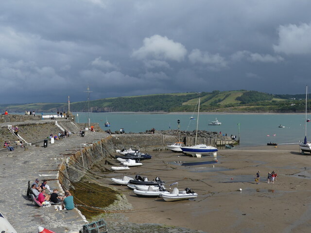
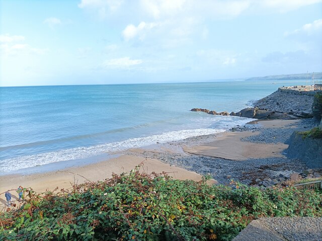
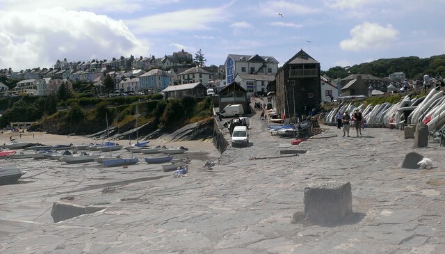
Carreg Draenog is a small island located off the coast of Cardiganshire, Wales. It is situated in Cardigan Bay and is known for its scenic beauty and rich wildlife. The island is approximately 1.5 miles long and half a mile wide, with a total area of around 150 acres.
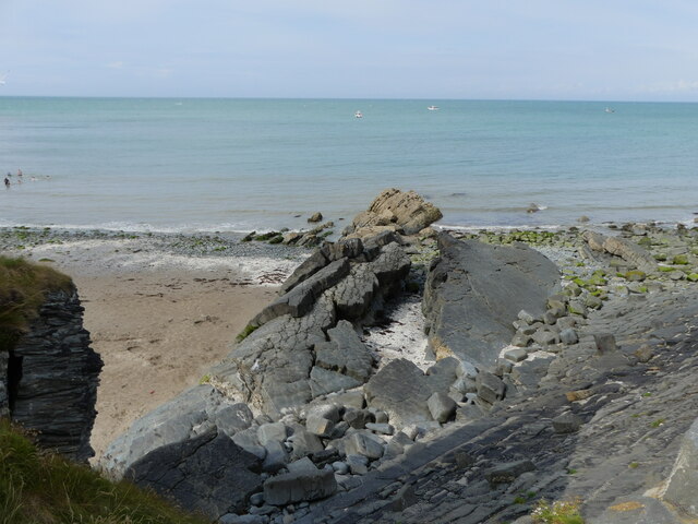
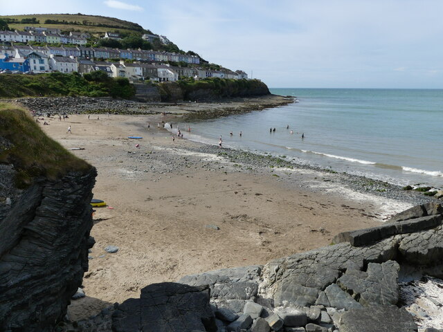
The name "Carreg Draenog" translates to "Hedgehog Rock" in English, which is derived from its distinctive shape resembling a hedgehog when viewed from certain angles. The island is predominantly rocky, with a steep coastline and cliffs that provide nesting sites for various seabirds such as guillemots, razorbills, and puffins.
Carreg Draenog is also home to a diverse range of plant species, including heather, gorse, and wildflowers, which add to its natural charm. Access to the island is limited, as it is mainly accessible by boat during high tide, and there are no permanent human inhabitants. However, it is a popular destination for birdwatchers, nature enthusiasts, and those seeking solitude and tranquility.
The island offers stunning panoramic views of the surrounding coastline, with the Cambrian Mountains visible in the distance on clear days. Visitors can explore the rugged terrain, walk along the shoreline, or simply relax and enjoy the peaceful atmosphere. However, it is important to note that due to its remote location and lack of facilities, visitors are advised to come prepared with food, water, and appropriate clothing.
Overall, Carreg Draenog is a captivating island that showcases the natural beauty and biodiversity of the Cardiganshire coastline, making it a must-visit destination for nature lovers and those seeking a unique and serene experience.
If you have any feedback on the listing, please let us know in the comments section below.
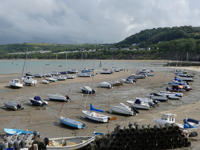
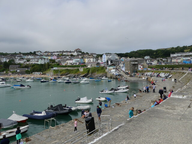
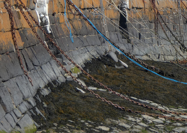
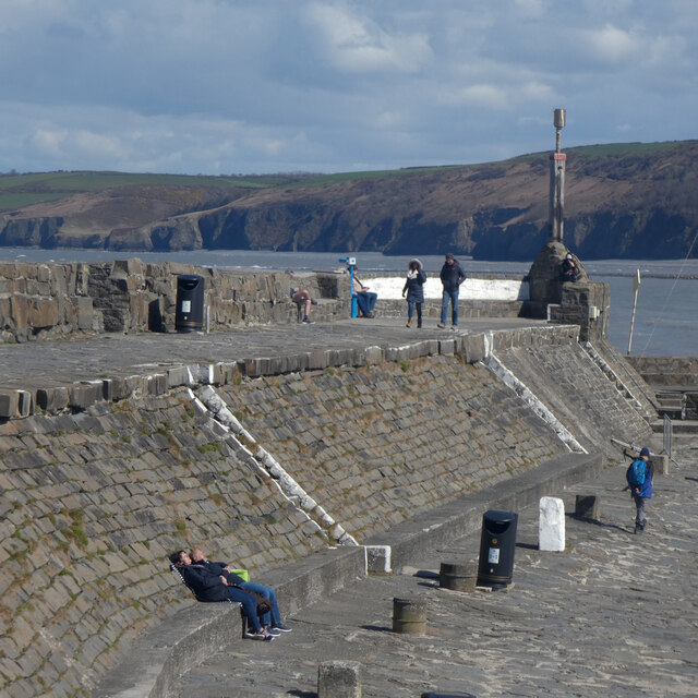
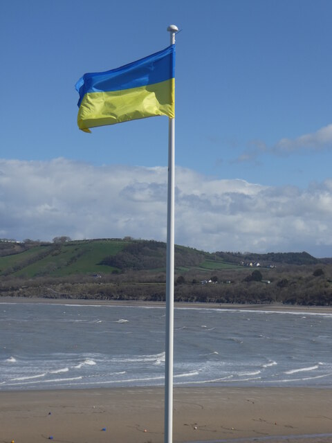
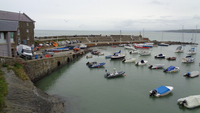
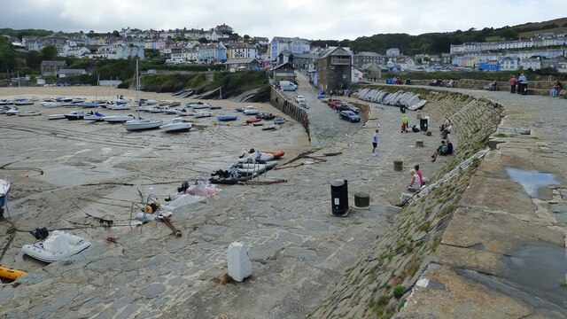
Carreg Draenog Images
Images are sourced within 2km of 52.21557/-4.3772835 or Grid Reference SN3760. Thanks to Geograph Open Source API. All images are credited.


Carreg Draenog is located at Grid Ref: SN3760 (Lat: 52.21557, Lng: -4.3772835)
Unitary Authority: Ceredigion
Police Authority: Dyfed Powys
What 3 Words
///comforted.waitress.bands. Near New Quay, Ceredigion
Nearby Locations
Related Wikis

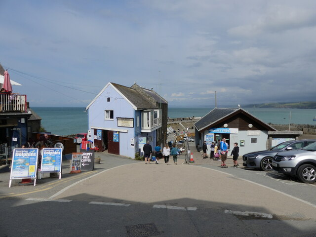
New Quay
New Quay (Welsh: Cei Newydd) is a seaside town and electoral ward in Ceredigion, Wales; it had a resident population of 1,045 at the 2021 census. Located...

New Quay Lifeboat Station
New Quay Lifeboat Station is an RNLI lifeboat station in the coastal resort of New Quay, Ceredigion, West Wales. It was established in 1864 and in 2014...

Maen-y-groes
Maen-y-groes is a hamlet in the community of Llanllwchaiarn, Ceredigion, Wales, which is 71 miles (114.3 km) from Cardiff and 187 miles (300.9 km) from...
Llanllwchaiarn, Ceredigion
Llanllwchaiarn is a community in Ceredigion, Wales, surrounding New Quay and had a population of 848 at the 2011 UK census. The community council uses...
Nearby Amenities
Located within 500m of 52.21557,-4.3772835Have you been to Carreg Draenog?
Leave your review of Carreg Draenog below (or comments, questions and feedback).