Eilean nan Deargannan

Island in Stirlingshire

Scotland

Eilean nan Deargannan

Loch Lomond and the War Memorial
Loch Lomond and the War Memorial Credit: Richard Law

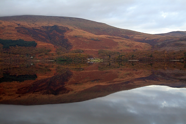
Eilean nan Deargannan is a small island located in Stirlingshire, Scotland. Situated within Loch Lomond, it is one of the many islands that dot the expansive loch. The island is approximately 0.5 hectares in size and boasts stunning natural beauty.

Eilean nan Deargannan is known for its lush vegetation and diverse wildlife. The island is covered in dense forests, mainly consisting of oak and birch trees, which provide a habitat for various bird species, including great crested grebes and herons. The surrounding waters are also home to numerous fish species, attracting anglers and wildlife enthusiasts alike.

Access to the island is primarily by boat, and it is a popular destination for boating enthusiasts wishing to explore Loch Lomond. The tranquil waters surrounding Eilean nan Deargannan make it an ideal spot for sailing, kayaking, and fishing.

The island's name translates to "Island of the Songbirds" in Gaelic, reflecting the abundance of birdlife found on the island. Visitors can enjoy the melodic sounds of chirping birds while taking in the island's panoramic views of the surrounding mountains and Loch Lomond.

Despite its small size, Eilean nan Deargannan holds historical significance. It is believed to have been a refuge for early inhabitants of the area, and there are remnants of ancient settlements on the island. Archaeologists have discovered evidence of Neolithic and Bronze Age activity, including stone tools and burial sites.

Overall, Eilean nan Deargannan is a picturesque island in Stirlingshire, offering natural beauty, wildlife, and a glimpse into the area's rich history.

If you have any feedback on the listing, please let us know in the comments section below.

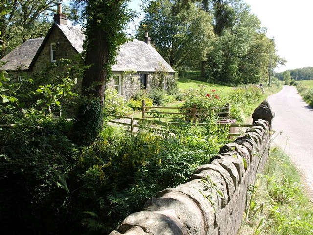
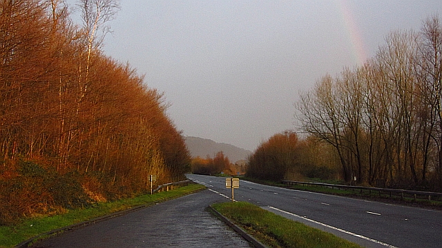
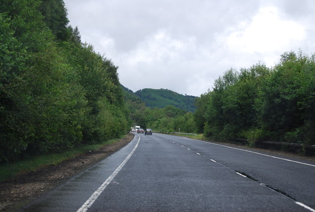
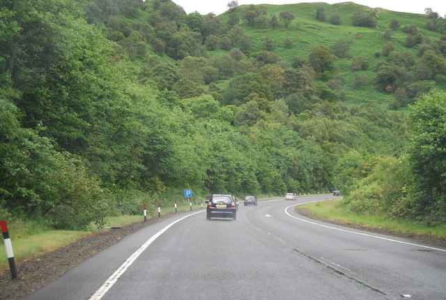
Eilean nan Deargannan Images

Images are sourced within 2km of 56.150839/-4.6475765 or Grid Reference NS3598. Thanks to Geograph Open Source API. All images are credited.

Loch Lomond and the War Memorial
Sheepfanks above Rowardennan Old sheep fanks on the hillside, adjacent to the path from the Ptarmigan ridge of Ben Lomond.
Sheepfanks above Rowardennan
Old sheep fanks on the hillside, adjacent to the path from the Ptarmigan ridge of Ben Lomond.
The path towards Ptarmigan Looking up the path towards the Ptarmigan ridge of Ben Lomond, with the waterfall of Spùt Ban on the right
The path towards Ptarmigan
Looking up the path towards the Ptarmigan ridge of Ben Lomond, with the waterfall of Spùt Ban on the right
Footbridge across a minor burn The main path onto Ben Lomond crosses a small burn in the forests.
Footbridge across a minor burn
The main path onto Ben Lomond crosses a small burn in the forests.
Forest felling allows a view to Ptarmigan
Gate at the edge of the forest A gateway in the deer fence between the forests of the lower slopes and the open upper slopes of Ben Lomond
Gate at the edge of the forest
A gateway in the deer fence between the forests of the lower slopes and the open upper slopes of Ben Lomond
Inverbeg Inn Loch Lomond
Loch Lomond A wet morning at Rowardennan
Loch Lomond
A wet morning at Rowardennan
Cottage on the road to Rowardennan
Glaciated rocks on the shore of Loch Lomond at Rowardennan
Looking towards Inverbeg jetty from Loch Lomond lakeside
A82 The improved bit of the A82 on Loch Lomond. Things go worse north of Tarbet.
A82
The improved bit of the A82 on Loch Lomond. Things go worse north of Tarbet.
Inverbeg Inn
Inverbeg Inn
A82 The A82 is a trunk road in Scotland. It is the principal route from Lowland Scotland to the western Scottish Highlands, running from Glasgow to Inverness, going by Loch Lomond, Glen Coe, Fort William and the Great Glen. It is 167 miles long.
<span class="nowrap"><a title="https://www.sabre-roads.org.uk/wiki/index.php?title=A82" rel="nofollow ugc noopener" href="https://www.sabre-roads.org.uk/wiki/index.php?title=A82">Link</a><img style="margin-left:2px;" alt="External link" title="External link - shift click to open in new window" src="https://s1.geograph.org.uk/img/external.png" width="10" height="10"/></span>
A82
The A82 is a trunk road in Scotland. It is the principal route from Lowland Scotland to the western Scottish Highlands, running from Glasgow to Inverness, going by Loch Lomond, Glen Coe, Fort William and the Great Glen. It is 167 miles long. LinkExternal link
Glen Douglas turn off, A82 The A82 is a trunk road in Scotland. It is the principal route from Lowland Scotland to the western Scottish Highlands, running from Glasgow to Inverness, going by Loch Lomond, Glen Coe, Fort William and the Great Glen. It is 167 miles long.
<span class="nowrap"><a title="https://www.sabre-roads.org.uk/wiki/index.php?title=A82" rel="nofollow ugc noopener" href="https://www.sabre-roads.org.uk/wiki/index.php?title=A82">Link</a><img style="margin-left:2px;" alt="External link" title="External link - shift click to open in new window" src="https://s1.geograph.org.uk/img/external.png" width="10" height="10"/></span>
Glen Douglas turn off, A82
The A82 is a trunk road in Scotland. It is the principal route from Lowland Scotland to the western Scottish Highlands, running from Glasgow to Inverness, going by Loch Lomond, Glen Coe, Fort William and the Great Glen. It is 167 miles long. LinkExternal link
A82 north The A82 is a trunk road in Scotland. It is the principal route from Lowland Scotland to the western Scottish Highlands, running from Glasgow to Inverness, going by Loch Lomond, Glen Coe, Fort William and the Great Glen. It is 167 miles long.
<span class="nowrap"><a title="https://www.sabre-roads.org.uk/wiki/index.php?title=A82" rel="nofollow ugc noopener" href="https://www.sabre-roads.org.uk/wiki/index.php?title=A82">Link</a><img style="margin-left:2px;" alt="External link" title="External link - shift click to open in new window" src="https://s1.geograph.org.uk/img/external.png" width="10" height="10"/></span>
A82 north
The A82 is a trunk road in Scotland. It is the principal route from Lowland Scotland to the western Scottish Highlands, running from Glasgow to Inverness, going by Loch Lomond, Glen Coe, Fort William and the Great Glen. It is 167 miles long. LinkExternal link
A82 northwards The A82 is a trunk road in Scotland. It is the principal route from Lowland Scotland to the western Scottish Highlands, running from Glasgow to Inverness, going by Loch Lomond, Glen Coe, Fort William and the Great Glen. It is 167 miles long.
<span class="nowrap"><a title="https://www.sabre-roads.org.uk/wiki/index.php?title=A82" rel="nofollow ugc noopener" href="https://www.sabre-roads.org.uk/wiki/index.php?title=A82">Link</a><img style="margin-left:2px;" alt="External link" title="External link - shift click to open in new window" src="https://s1.geograph.org.uk/img/external.png" width="10" height="10"/></span>
A82 northwards
The A82 is a trunk road in Scotland. It is the principal route from Lowland Scotland to the western Scottish Highlands, running from Glasgow to Inverness, going by Loch Lomond, Glen Coe, Fort William and the Great Glen. It is 167 miles long. LinkExternal link
A82 at Rubha Mor The A82 is a trunk road in Scotland. It is the principal route from Lowland Scotland to the western Scottish Highlands, running from Glasgow to Inverness, going by Loch Lomond, Glen Coe, Fort William and the Great Glen. It is 167 miles long.
<span class="nowrap"><a title="https://www.sabre-roads.org.uk/wiki/index.php?title=A82" rel="nofollow ugc noopener" href="https://www.sabre-roads.org.uk/wiki/index.php?title=A82">Link</a><img style="margin-left:2px;" alt="External link" title="External link - shift click to open in new window" src="https://s1.geograph.org.uk/img/external.png" width="10" height="10"/></span>
A82 at Rubha Mor
The A82 is a trunk road in Scotland. It is the principal route from Lowland Scotland to the western Scottish Highlands, running from Glasgow to Inverness, going by Loch Lomond, Glen Coe, Fort William and the Great Glen. It is 167 miles long. LinkExternal link
Show me another place!

Eilean nan Deargannan is located at Grid Ref: NS3598 (Lat: 56.150839, Lng: -4.6475765)

Unitary Authority: Stirling

Police Authority: Forth Valley

What 3 Words

///deferring.watchdogs.lifeboats. Near Garelochhead, Argyll & Bute

Related Wikis

Eilean nan Deargannan

Eilean nan Deargannan (sometimes written as Eilean Deargannan) is a small island in Loch Lomond, in west central Scotland. It lies between Rowardennan...

Rowardennan

Rowardennan (Gaelic: Rubha Aird Eònain) is a small rural community on the eastern shore of Loch Lomond in Stirling council, Scotland. It is mainly known...

Inverbeg

Inverbeg is a settlement in Argyll and Bute, Scotland. Its Ordnance Survey grid reference is NS3497.It is on the western shore of Loch Lomond. There has...

Ross Isles

The Ross Isles are two small islands in Loch Lomond, in west central Scotland. They lie opposite Luss, and are named after the promontory on the east shore...

Beinn Bhreac (Arrochar)

Beinn Bhreac (681 m) is a mountain in Argyll and Bute, Scotland. It is part of the Luss Hills, a southern subrange of the Grampian Mountains. Rising from...

Glen Douglas

Glen Douglas (Scottish Gaelic: Gleann Dùghlais) is a glen in the southwest Scottish Highlands. It is drained by the Douglas Water, which discharges at...

Ben Lomond

Ben Lomond (Scottish Gaelic: Beinn Laomainn, 'Beacon Mountain'), 974 metres (3,196 ft), is a mountain in the Scottish Highlands. Situated on the eastern...

West Loch Lomond Cycle Path

The West Loch Lomond Cycle Path is a cycle path that runs from Arrochar and Tarbet railway station, at the upper end of Loch Lomond in Scotland, to Balloch...

Related Videos

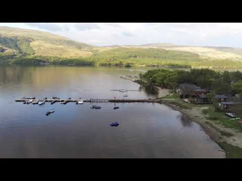
Inverbeg Holiday Park 29.05.2021

Some sunset drone footage of the holiday park with Loch Lomond and Ben Lomond as a stunning backdrop!

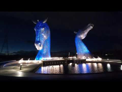
Our holiday in Scotland Oct 2020

Lovely Holiday to Inverbeg Holiday Park Scotland in October 2020. A few hikes,chill days in the lodge and a visit to the Kelpies.

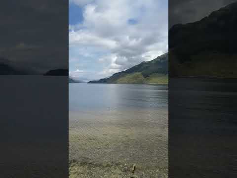
West Highland Way: High Road vs Low Road - A Loch Lomond Adventure

Welcome to the Red Man Walking YouTube channel, where we explore the breathtaking beauty of Scotland's West Highland Way!

Nearby Amenities

Located within 500m of 56.150839,-4.6475765
Telephone
Booth: K6
Covered: booth
Source: survey
Lat/Long: 56.1494857/-4.641041
Rowardennan Hotel
Tourism: hotel
Lat/Long: 56.1493144/-4.6414182
Toilets
Access: customers
Lat/Long: 56.1493842/-4.6413474
Rowardennan
Name Gd: Rubha Àird Eòdhnain
Place: hamlet
Wikidata: Q3310955
Wikipedia: en:Rowardennan
Lat/Long: 56.1513679/-4.6414007
Pub
The Clansman
Food: yes
Phone: +441360 870273
Smoking: no
Website: https://www.rowardennanhotel.co.uk/
Lat/Long: 56.1494988/-4.6413466
Tourism: information
Lat/Long: 56.1522971/-4.6417402
Toilets
Fee: no
Lat/Long: 56.1522464/-4.6417726
Rowardennan War Memorial
Historic: memorial
Wikidata: Q114169624
Lat/Long: 56.1534415/-4.6430104
Post Box
Collection Times: Mo-Fr 12:00; Sa 11:45
Operator: Royal Mail
Post Box Type: wall
Ref: G63 593
Royal Cypher: GR
Royal Cypher Wikidata: Q33102273
Lat/Long: 56.1494393/-4.6412224
Entrance: yes
Lat/Long: 56.1494703/-4.6412351
Drinking Water
Top Up Tap
Access: yes
Bottle: yes
Fee: no
Operator: Scottish Water
Operator Wikidata: Q7438022
Lat/Long: 56.152176/-4.641613
Ford: yes
Lat/Long: 56.1520916/-4.6412971
Ford: yes
Lat/Long: 56.1516826/-4.6418497
The data included in this document is from www.openstreetmap.org. The data is made available under ODbL.

Have you been to Eilean nan Deargannan?

Leave your review of Eilean nan Deargannan below (or comments, questions and feedback).