Black Island

Island in Kirkcudbrightshire

Scotland

Black Island

Natural ice sculpture, Loch Moan A cold North wind was blowing spray from the loch on to grasses on the shore, resulting in fantastic ice shapes.
Natural ice sculpture, Loch Moan Credit: Alan Reid

Black Island is a small, uninhabited island located off the coast of Kirkcudbrightshire, Scotland. The island is known for its rugged coastline, with steep cliffs and rocky shores that provide a habitat for a variety of seabirds and marine life. The highest point on the island reaches just over 100 feet above sea level, offering stunning views of the surrounding sea and mainland.

Access to Black Island is limited, with no regular ferry service or public transportation available. Visitors typically arrive by private boat or kayak, navigating the choppy waters of the Solway Firth to reach the island. Due to its remote location and lack of facilities, visitors are advised to come prepared with food, water, and appropriate outdoor gear for hiking and exploring the island.

Despite its lack of human inhabitants, Black Island has a rich history, with evidence of prehistoric settlements and ancient ruins scattered throughout the landscape. The island's isolation and natural beauty make it a popular destination for nature lovers, birdwatchers, and adventurers looking to escape the hustle and bustle of modern life.

If you have any feedback on the listing, please let us know in the comments section below.
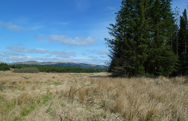
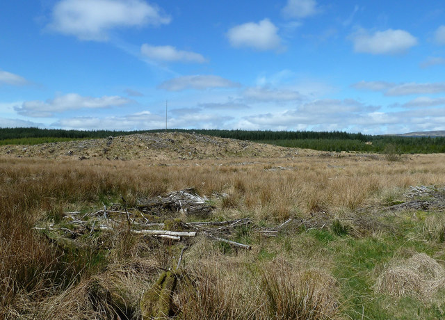
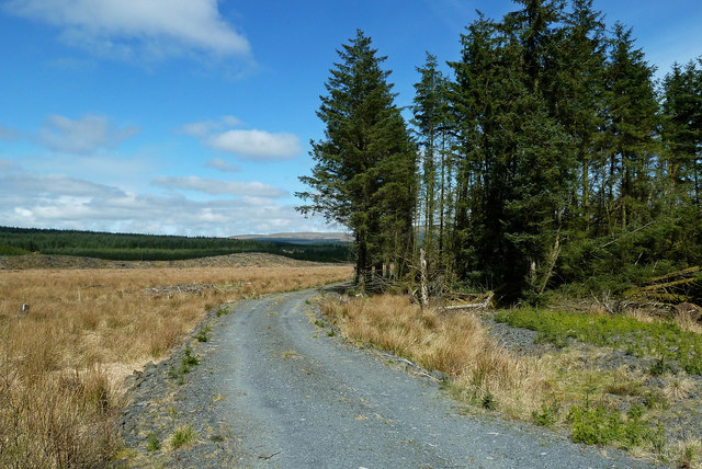
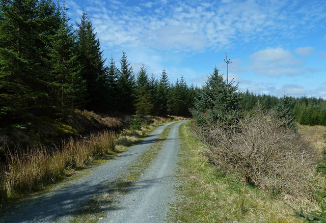
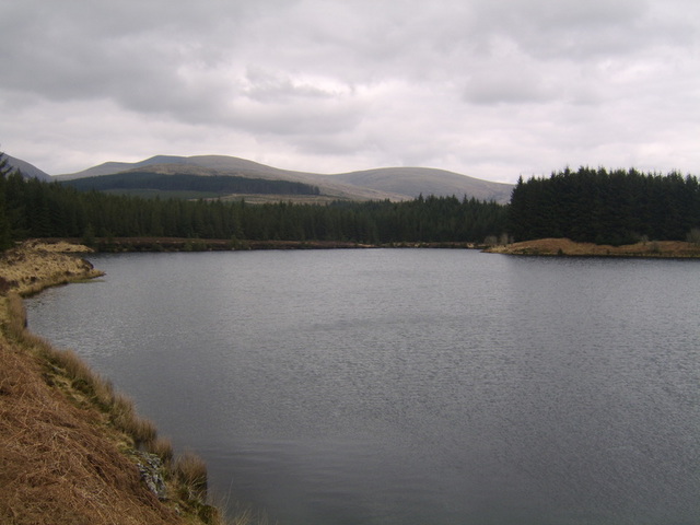
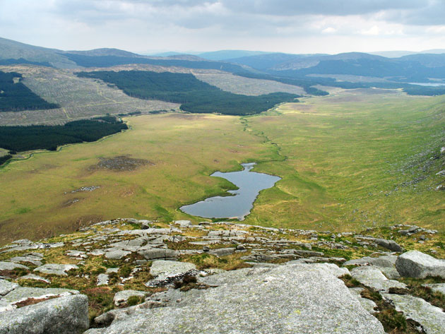
Black Island Images

Images are sourced within 2km of 55.136976/-4.5924961 or Grid Reference NX3485. Thanks to Geograph Open Source API. All images are credited.

Natural ice sculpture, Loch Moan A cold North wind was blowing spray from the loch on to grasses on the shore, resulting in fantastic ice shapes.
Natural ice sculpture, Loch Moan
A cold North wind was blowing spray from the loch on to grasses on the shore, resulting in fantastic ice shapes.
Entering Dumfries and Galloway
The Water of Minnoch In Scotland, there are orders of magnitude for water courses: a 'water' is larger than a stream or burn but smaller than a river. (After prolonged heavy rain it can be hard to tell the difference!)
The Water of Minnoch
In Scotland, there are orders of magnitude for water courses: a 'water' is larger than a stream or burn but smaller than a river. (After prolonged heavy rain it can be hard to tell the difference!)
Sheep, lochan, forest, hills Looking towards the Rig of Shalloch
Sheep, lochan, forest, hills
Looking towards the Rig of Shalloch
Kirriereoch Loch and Galloway Hills
At the water's edge Kirriereoch Loch, Galloway
At the water's edge
Kirriereoch Loch, Galloway
Bracken, stile and Geographer At Kirriereoch Loch. This ladder stile is little used, poorly maintained and precarious, even though the area is licensed for fishing.
Bracken, stile and Geographer
At Kirriereoch Loch. This ladder stile is little used, poorly maintained and precarious, even though the area is licensed for fishing.
Picnic site Kirriereoch
Picnic site
Kirriereoch
Northern shore Kirriereoch Loch
Northern shore
Kirriereoch Loch
Difficult terrain Much of the forestry shown here on the O/S map is no longer. This felled area is treacherous for walking with loose branches overlaying bog and water-logged trenches.
Difficult terrain
Much of the forestry shown here on the O/S map is no longer. This felled area is treacherous for walking with loose branches overlaying bog and water-logged trenches.
Un-mapped footbridge Kirriereoch Loch
Un-mapped footbridge
Kirriereoch Loch
Two lochs Kirriereoch (nearer) and Moan (further) from Tarfessock.
Two lochs
Kirriereoch (nearer) and Moan (further) from Tarfessock.
Welcome to Dumfries & Galloway
The Road to Straiton
Galloway Forest View An April view of forest and moorland near Loch Moan.
Galloway Forest View
An April view of forest and moorland near Loch Moan.
Clear Fell in the Galloway forest Viewed from the end of a rough track on a fine mid-April morning.
Clear Fell in the Galloway forest
Viewed from the end of a rough track on a fine mid-April morning.
Galloway Forest Road One of the forest roads near Loch Moan, viewed on a bright mid-April morning.
Galloway Forest Road
One of the forest roads near Loch Moan, viewed on a bright mid-April morning.
A Road in the Galloway Forest Part of the route around Loch Moan, viewed on a lovely April morning.
A Road in the Galloway Forest
Part of the route around Loch Moan, viewed on a lovely April morning.
Show me another place!

Black Island is located at Grid Ref: NX3485 (Lat: 55.136976, Lng: -4.5924961)

Unitary Authority: Dumfries and Galloway

Police Authority: Dumfries and Galloway

What 3 Words

///topic.waistcoat.staple. Near Girvan, South Ayrshire

Nearby Locations

Black Island Loch Moan

Related Wikis

Kirriereoch Loch

Kirriereoch Loch is a small, shallow, square shaped, freshwater loch in Dumfries and Galloway, in the Southern Uplands of south-west Scotland. It lies...

Cairnderry chambered cairn

Cairnderry chambered cairn is a chambered cairn in Dumfries and Galloway. It is a Bargrennan cairn, a type of Neolithic or early Bronze Age monument only...

Shalloch on Minnoch

Shalloch on Minnoch is a hill in the Range of the Awful Hand, a sub-range of the Galloway Hills range, part of the Southern Uplands of Scotland. It is...

Silver Flowe-Merrick Kells

Situated in south-west Scotland, the Silver Flowe-Merrick Kells biosphere reserve is composed of two separate sites. Silver Flowe is a unique bog formation...

Have you been to Black Island?

Leave your review of Black Island below (or comments, questions and feedback).