Gargrie Island

Island in Wigtownshire

Scotland

Gargrie Island

Gate to the Forestry Off the road between Culshabbin and High Glenling.
Gate to the Forestry Credit: Jon Alexander

Gargrie Island is a small island located off the coast of Wigtownshire in southwestern Scotland. It lies in the Irish Sea, approximately 2 miles southeast of the Mull of Galloway, which is the southernmost point of Scotland's mainland. The island covers an area of roughly 24 acres and is accessible by boat, making it a popular destination for nature enthusiasts and birdwatchers.

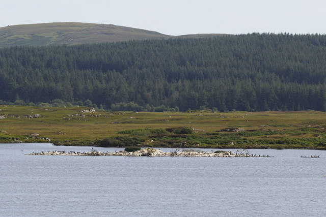
Gargrie Island is known for its diverse wildlife and is a designated Site of Special Scientific Interest (SSSI). The island is home to a variety of bird species, including nesting seabirds such as kittiwakes, guillemots, and razorbills. It also serves as a breeding ground for colonies of Atlantic grey seals, which can often be seen basking on its rocky shores.

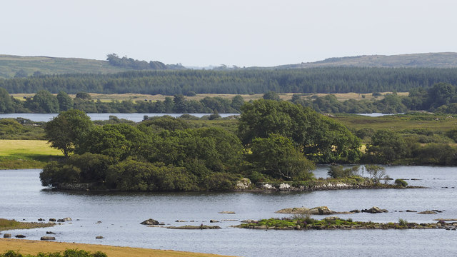
The landscape of Gargrie Island is characterized by rugged cliffs, rocky outcrops, and grassy slopes. The island's vegetation consists mainly of grasses, mosses, and lichens, thriving in the mild maritime climate of the region. Its isolation and natural beauty make it an ideal spot for peaceful walks and exploration.

Gargrie Island is uninhabited and lacks any developed infrastructure. Visitors are advised to bring their own provisions and be mindful of the fragile ecosystem. The island can be reached by private boat or through organized tours, which provide an opportunity to learn about its wildlife and conservation efforts.

Overall, Gargrie Island offers a unique and unspoiled natural experience, allowing visitors to immerse themselves in the stunning coastal landscapes and observe the abundant wildlife that calls this remote island home.

If you have any feedback on the listing, please let us know in the comments section below.

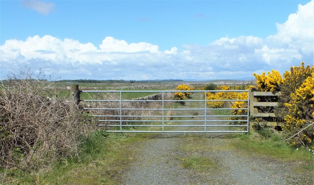
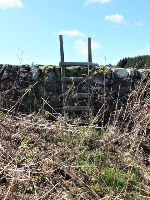
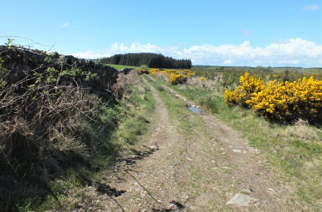
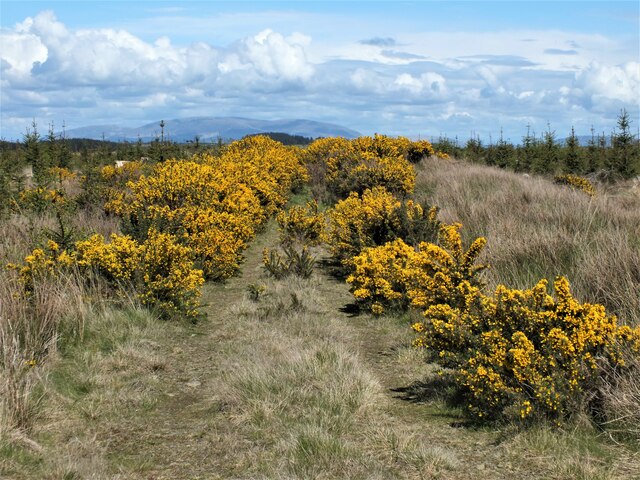
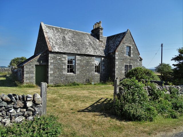
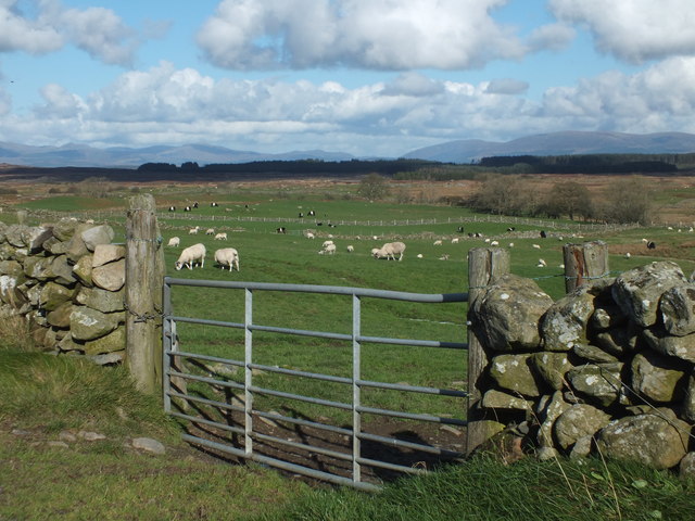
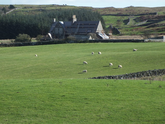
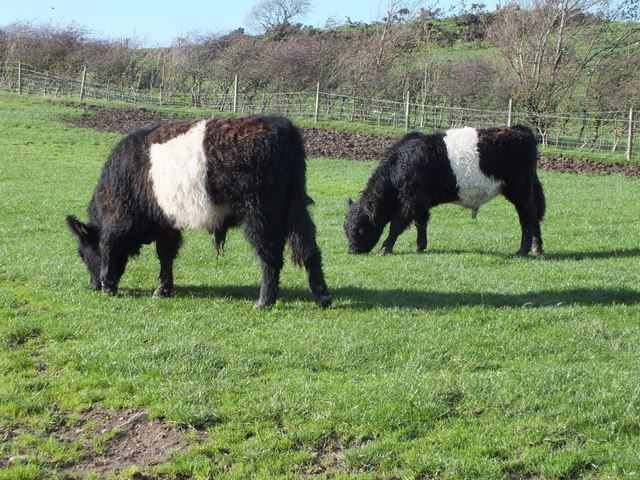
Gargrie Island Images

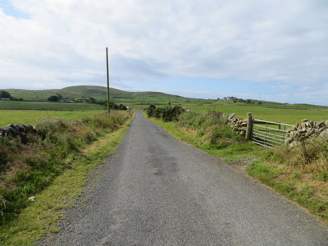
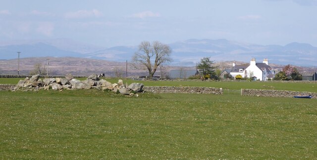
Images are sourced within 2km of 54.836796/-4.6573103 or Grid Reference NX2952. Thanks to Geograph Open Source API. All images are credited.

Gate to the Forestry Off the road between Culshabbin and High Glenling.
Gate to the Forestry
Off the road between Culshabbin and High Glenling.
Ladder Stile This is part of Mochrum Estate, very much a sporting estate.
Ladder Stile
This is part of Mochrum Estate, very much a sporting estate.
Track on the Machar Following the wall.
Track on the Machar
Following the wall.
Not Going to get Very Far Down There! Although the track seen in <a href="https://www.geograph.org.uk/photo/7485841">NX3051 : Track on the Machar</a> carries on following the wall, according to the map it goes to the right here. But it appears to have been taken over by Gorse.
Not Going to get Very Far Down There!
Although the track seen in NX3051 : Track on the Machar carries on following the wall, according to the map it goes to the right here. But it appears to have been taken over by Gorse.
Culshabbin Schoolhouse Though the grass around the building had recently been tended, the old school room and the attached schoolhouse are disused and deteriorating as time marches ever onward.
Culshabbin Schoolhouse
Though the grass around the building had recently been tended, the old school room and the attached schoolhouse are disused and deteriorating as time marches ever onward.
Across the Machar Looking over the fields of grazing livestock with the Galloway Hills in the distance.
Across the Machar
Looking over the fields of grazing livestock with the Galloway Hills in the distance.
Culshabbin Schoolhouse It looks like, at last, that some repairs are being carried out.
Culshabbin Schoolhouse
It looks like, at last, that some repairs are being carried out.
Galloway Natives Two young Belted Galloway bullocks enjoying a bite of grass in the sunshine.
Galloway Natives
Two young Belted Galloway bullocks enjoying a bite of grass in the sunshine.
Wall-lined minor road between The May and Culshabbin Looking southward.
Wall-lined minor road between The May and Culshabbin
Looking southward.
Tree-lined minor road heading in the direction of Mochrum Loch Looking north-westward.
Tree-lined minor road heading in the direction of Mochrum Loch
Looking north-westward.
Minor road beside Mochrum Loch passing through Heathery Ward Wood Looking south-westward.
Minor road beside Mochrum Loch passing through Heathery Ward Wood
Looking south-westward.
Is it a cairn or a heap of stones The May in the background.
Is it a cairn or a heap of stones
The May in the background.
Road approaching Viewfalls On National Cycle Network Route 73.
Road approaching Viewfalls
On National Cycle Network Route 73.
Cormorant nesting colony, Castle Loch Castle Loch and neighbouring Mochrum Loch between them have the largest freshwater breeding colony of cormorants in Scotland, known to have existed since at least 1663. This year there appear to be increased numbers of birds nesting in these colonies and there are several rocky islets occupied in each of the two lochs, of which this is the biggest.  The occupied islands are almost completely bare of vegetation.
Cormorant nesting colony, Castle Loch
Castle Loch and neighbouring Mochrum Loch between them have the largest freshwater breeding colony of cormorants in Scotland, known to have existed since at least 1663. This year there appear to be increased numbers of birds nesting in these colonies and there are several rocky islets occupied in each of the two lochs, of which this is the biggest. The occupied islands are almost completely bare of vegetation.
Castle Island Excavations on the island last century showed the ruins to be of a mediaeval manor house. There is speculation that prior to that it may have been a religious site. The island is completely encircled by a substantial stone wall, which can be clearly seen in the picture, and a submerged causeway connects it to the mainland.
Castle Island
Excavations on the island last century showed the ruins to be of a mediaeval manor house. There is speculation that prior to that it may have been a religious site. The island is completely encircled by a substantial stone wall, which can be clearly seen in the picture, and a submerged causeway connects it to the mainland.
Old lane to the May This abandoned lane used to run from the B7005 to the May Farm
Old lane to the May
This abandoned lane used to run from the B7005 to the May Farm
Cattle pens Seen near the B7005 Wigtown to Glenluce road
Cattle pens
Seen near the B7005 Wigtown to Glenluce road
Walls, gate and burn near Drumblair Seen from the B7005 Wigtown to Glenluce road.
Walls, gate and burn near Drumblair
Seen from the B7005 Wigtown to Glenluce road.
Show me another place!

Gargrie Island is located at Grid Ref: NX2952 (Lat: 54.836796, Lng: -4.6573103)

Unitary Authority: Dumfries and Galloway

Police Authority: Dumfries and Galloway

What 3 Words

///sideboard.selects.cases. Near Newton Stewart, Dumfries & Galloway

Related Wikis

Mochrum Loch

Mochrum Loch is a large, irregular shaped, shallow, freshwater loch in Dumfries and Galloway, in the Southern Uplands of south-west Scotland. It lies approximately...

Doon of May

The Doon of May is a conifer plantation associated with an Iron Age hill fort in Dumfries and Galloway, south-west Scotland. Located around 14 kilometres...

Castle Loch, Dumfries and Galloway

Castle Loch is a large, shallow, freshwater loch in Dumfries and Galloway, in the Southern Uplands of south-west Scotland. It lies to the west of Mochrum...

Castle Loch

Castle Loch is a shallow eutrophic loch covering an area of around 100 hectares in the town of Lochmaben in Dumfries and Galloway, Scotland. It lies to...

Have you been to Gargrie Island?

Leave your review of Gargrie Island below (or comments, questions and feedback).